

Your next day outside
South Downs
A chalky ridge running across southern England, offering sweeping views and rolling countryside.
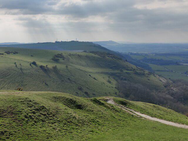
Image shared for Devil's Dyke, Newtimber Hill and Fulking Hill walk
Featured walks in South Downs
Routes shared by members, ready for you to explore. A planned group date appears on the card when one is available.

Swipe to explore more routes
Hills and peaks
Find a familiar favourite or a new summit. Height is elevation above sea level, rather than the amount of climbing on a route.
Ports Down (boundary) [Fort Southwick]
Map of South Downs
The region boundary on an outdoors map. Zoom in for paths and contours.
About South Downs
Explore the hills and summits of South Downs, with individual hill pages and the lists each belongs to. Choose a route that suits your experience, check the weather and enjoy the day at your own pace.
Plan a safe walkWalk South Downs with company
Join free to post a walk here, or to join one someone else has planned.
Join Walkmates