
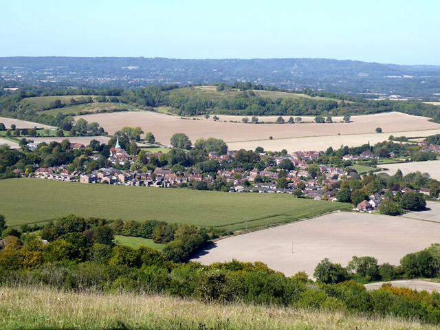
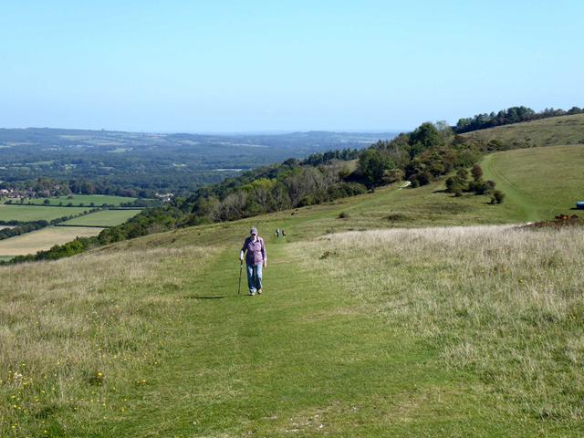
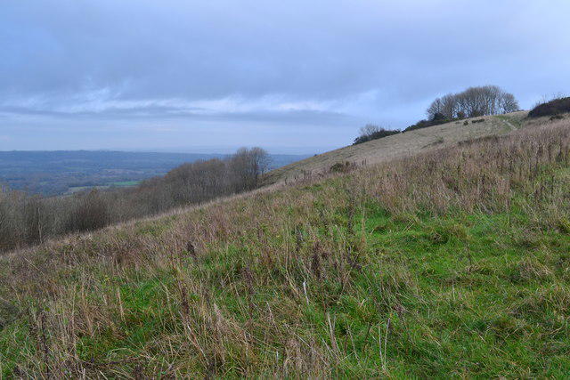
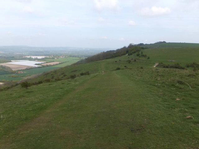
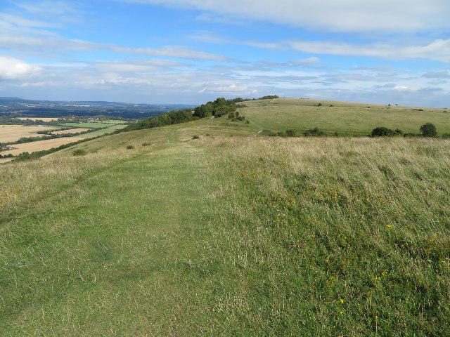
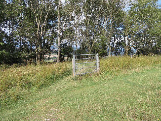
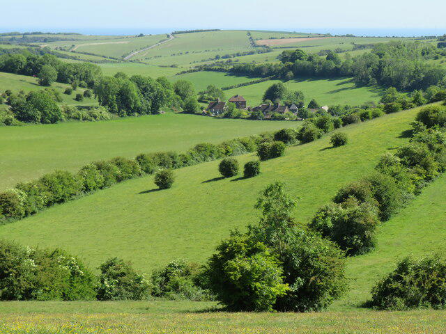
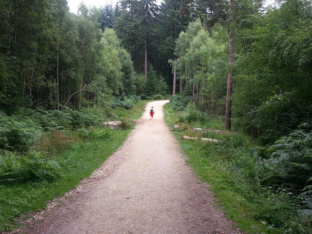
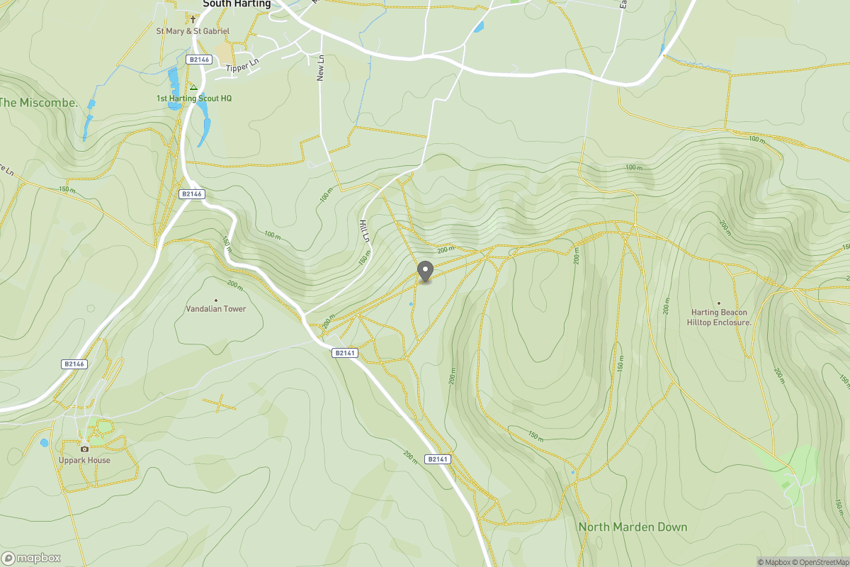
Upland / Hill
Circular
Medium
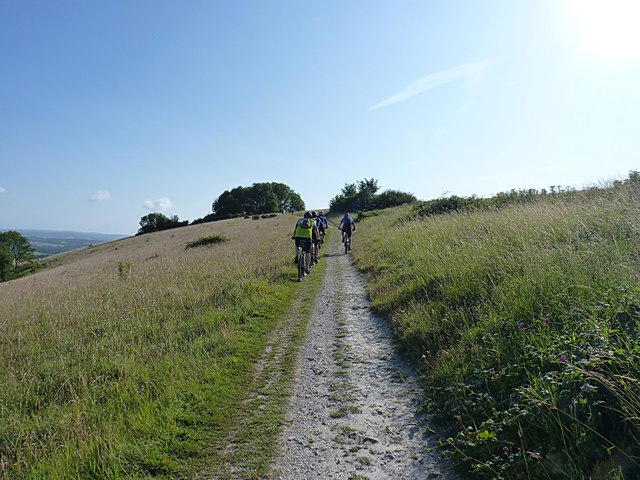
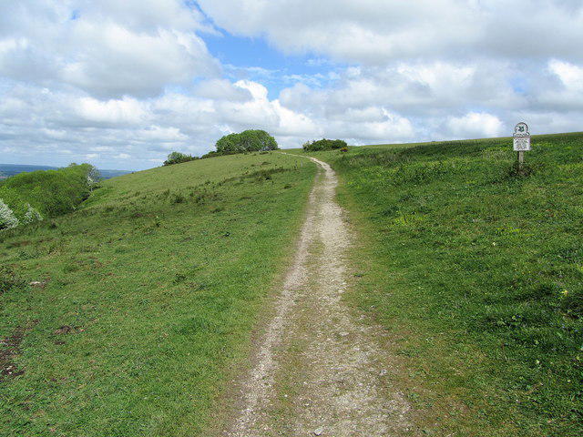
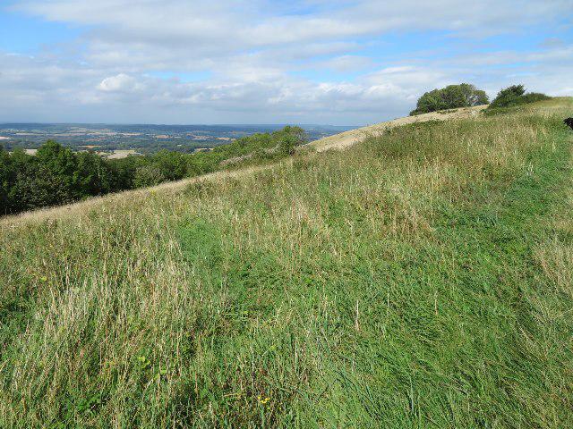
Devil's Dyke, Newtimber Hill and Fulking Hill walk
hannah3408
Walk organiser

No comments yet. Be the first.