

Holt Down
Good walks are even better shared.
SU7218 : Divergence of tracks in Queen Elizabeth Country Park
Shazz Photo source
Overview
Holt Down: A Hidden Gem of Dorset
Nestled in the heart of Dorset, Holt Down stands proud at 254 meters, offering a delightful escape for hikers and outdoor enthusiasts. This Marilyn is not just a hill; it’s a piece of history, nature, and the perfect excuse to dust off your walking boots!
Geology
The rich geology of Holt Down, composed primarily of chalk and flint, provides a fascinating insight into the geological history of the region. The erosion of these materials has created stunning natural features and offers trails that resonate with both beauty and curiosity.
Routes
A popular choice is the Holt Down Circular Walk, which spans approximately 5.5 km and can be comfortably completed in about 2 hours. It’s a moderate route filled with lovely sights and the promise of fresh air. Just keep an eye out for the odd rogue cow!
Summit Features
At the summit, you'll find a gentle cairn, lovingly constructed from local stones. Perfect for a photo op or a picnic! The grassy knoll invites you to sit back, relax, and soak in the glorious views.
Views
The panoramic vistas from Holt Down are nothing short of breathtaking. On clear days, you can spot the beautiful Purbeck Hills and Poole Harbour shimmering in the distance. Spring and summer are particularly spectacular, with lush greenery and wildflowers painting the landscape.
Hazards
Do be cautious of slippery patches, especially after rain; mud can be an uninvited guest on your journey. And, let’s not forget the occasional bovine that might be leisurely mingling on your path!
Access
Getting to Holt Down is a breeze. The nearest parking is just a stone's throw away at Kingston Russell, with a small car park that fills up quickly. If you’re relying on public transport, grab a bus to Langton Matravers and prepare for a bit of a trek.
Facilities
While there’s a delightful pub in Kingston Russell, facilities like toilets are best found in Wareham. So, make sure to plan accordingly!
History
The etymology of Holt Down is quite fitting, reflecting its lush surroundings and elevated position. With a significant archaeological background, you might find yourself walking in the footsteps of ancient peoples.
In conclusion, whether you're after picturesque views, a historical adventure, or just looking to stretch your legs and enjoy some fresh air, Holt Down has it all. So pack a snack, grab your walking stick, and enjoy this phenomenal spot in the heart of Dorset!
Explore routes near Holt Down
Walks starting near this hill. Open a route to check its map, distance and full itinerary.
Havant Walk with Men Walking & Talking
View route
Hinton Ampner: Dutton Estate Woodland and Downland Circuit
View route
Port Solent Walk with Men Walking & Talking
View route
Hindhead Sailor's Stroll to Gibbet Hill
View route
Route planning notes
These notes describe possible approaches. Check a route's map and access information when planning your walk.
Holt Down Circular Walk
This scenic circular route takes you from the nearby village of Kingston Russell, offering delightful views across the Dorset countryside and down to the coast.
Make a day of it, together
Find someone to share the walk with, or organise a day out along a route you like.
Photo Gallery
View all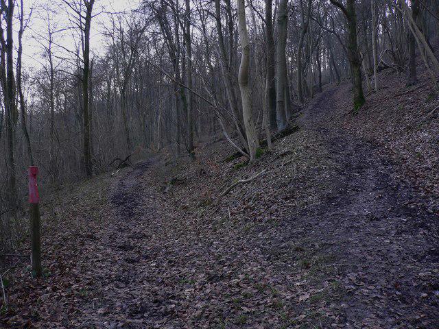 Photo could not load
SU7218 : Divergence of tracks in Queen Elizabeth Country Park
Shazz
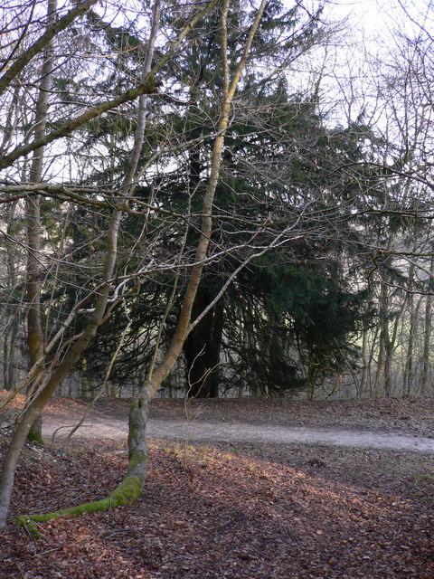 Photo could not load
SU7218 : Yew beside track in Queen Elizabeth Country Park
Shazz
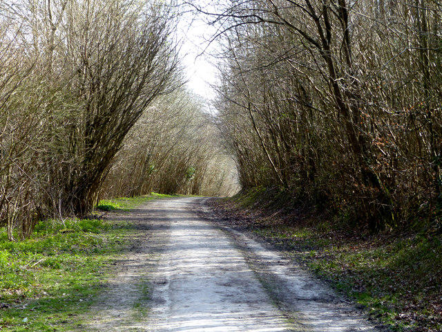 Photo could not load
SU7218 : Forest track in Queen Elizabeth Country Park
Chris Gunns
Hill facts and local notes
Classifications
Elevation
204m
669 ft
Prominence
36m
Coordinates
50.9622, -0.9662
SU727186
OS Map
197
Explorer: OL8 120
At the Summit
The summit is marked by a small, grassy knoll, and offers a gentle cairn made from local stones, which has been well-loved by dog walkers and picnic enthusiasts alike.
Terrain & Geology
Holt Down is primarily composed of chalk and flint, typical of the South Dorset ridge, creating a unique and interesting geological structure. The erosion of the chalk has formed impressive natural features and provides excellent drainage.
Views & Scenery
From the top, you can see the expansive views of the Purbeck Hills, Poole Harbour, and even glimpse the sea on a clear day.
History & Heritage
Name Origin
The name 'Holt' is derived from the Old English word for a wooded area, while 'Down' refers to the chalk hill. So, it roughly translates to 'wooded hill', which is fitting, as the lower slopes can be quite lush.
Historical Significance
Holt Down is known for its archaeological significance, with Neolithic barrows and evidence of early human settlement in the surrounding area.
Getting There & Facilities
Parking
The nearest parking area is located at Kingston Russell village, with space for approximately 10 cars. Arrive early for better chances!
Public Transport
The nearest bus stop is in the village of Langton Matravers, with service from Swanage. Expect a bit of a hike from there.
Nearby Facilities
While there are no facilities directly on Holt Down, nearby Kingston Russell offers a quaint pub, perfect for a post-hike pint. Toilets can be found in Wareham.
Safety Information
Known Hazards
- Watch out for muddy sections in wet weather, and the occasional cow that may be grazing peacefully nearby!
General Safety Tips
- Check weather conditions before setting out
- Carry appropriate clothing and equipment
- Let someone know your planned route
- Take a map, compass, and GPS device
- Carry emergency supplies: food, water, first aid kit, torch
Hills
Some common questions about the hills answered
Are there group walks up Holt Down?
Many walkers use Walkmates to join or organise walks with others. You can check for group walks around Holt Down through the maps
Are there other walkers around Holt Down?
Activity varies by location and time, but Walkmates lets you see whether others have shared walks or shown interest in this area. Find other people through the walking friends search walking friends for Holt Down search or of course create your own walk for Holt Down
Can I organise a walk to Holt Down?
Yes. If there aren’t any walks listed already, you can create a walk and make it available for others to join.
If you're signed up to Walkmates, you can create a walk to Holt Down.
How do I find a walk up this hill?
There are often multiple ways to walk this hill, depending on experience and route preference. Walkmates helps you explore walks and routes that others have shared.
Can I suggest a new route up Holt Down?
Yes. You can suggest or create routes to share with others. Walkmates focuses on the social side of walking, so routes are used to help people organise walks and explore areas together, rather than as detailed navigation tools or route libraries.
Other uses really appreciate knowledgeable walkers sharing their routes. Share your favourite route to Holt Down here
The is an error or something incorrect about this hill. How do I let you know?
We always strive to keep the information on Walkmates as accurate as possible. If you find an error, please let us know through the contact form and we'll aim to correct it as quickly as possible
Community Discussion
Comments
Location
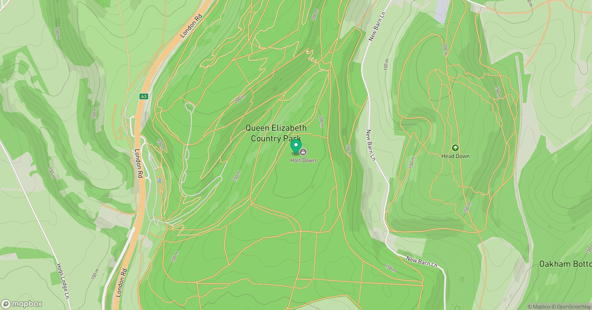
Grid reference: SU727186
View on OpenStreetMapOpens a map in a new tab, centred on the hill.
Nearby Hills
Leith Hill
294m
Ditchling Beacon
248m
Glastonbury Tor
158m
Worcestershire Beacon
425m
Titterstone Clee Hill
533m
No comments yet. Be the first.