

Hesworth Common
Good walks are even better shared.
TQ0019 : Secluded Car Park on Hesworth Common
Dave Spicer Photo source
Overview
Hesworth Common: A Gem in the South Downs
Nestled within the South Downs National Park, Hesworth Common stands proudly at an elevation of 158 meters – give or take a few flints! This delightful spot is classified as a Marilyn, a classification given to hills in the UK with a prominence of at least 150 meters.
Geology
The geology of Hesworth Common is primarily chalk and flint, common to the South Downs. This unique composition supports a rich variety of wildlife, making it a popular spot for nature enthusiasts. Keep an eye out for rabbits and a plethora of bird species that call this common home.
Routes
The Hesworth Common Loop is a favourite among hikers, clocking in at a leisurely 4.5 km. This route meanders through the common, giving you the chance to take in the sweeping views without breaking a sweat. It's an easy hike, perfect for families and those wanting a pleasant stroll.
Summit Features
Upon reaching the summit, you'll find a quaint grass-covered area speckled with benches, just waiting for you to plonk down and recharge. With a bit of luck, you might catch fellow walkers sharing tales of daring adventures, or perhaps just the best way to make a cup of tea!
Terrain
The terrain is predominantly grassy with gentle slopes, making it accessible for most skill levels. Just be cautious; it can get a bit slippery after rain – unless you fancy channeling your inner mountain goat!
Views
From the summit, the panoramic views are most rewarding in the spring and early summer. On clear days, the vistas across the South Downs are simply breathtaking, with the sea waving in the distance like a friendly neighbour.
Hazards
While hiking here is generally safe, as with any outdoor activity, it's wise to watch your footing, especially on wet days. And, as always in the countryside, don’t forget to check the weather before setting out – it can change quicker than you can say 'crumpet'!
Nearby Summits
If you're feeling adventurous, nearby peaks like Truleigh Hill and Devil’s Dyke provide a little extra challenge and variety to your walking endeavours.
Access and Facilities
To get to Hesworth Common, the nearest parking is a simple layby along the A280. With limited public transport available, it’s best to have a car or be prepared for a bit of a walk from Patching.
Though there are no facilities directly on the common, the nearby village has a lovely pub perfect for post-hike refreshment.
Conclusion
Hesworth Common may be modest in height, but its lush surroundings, charming views, and rich history make it a delightful spot for both the seasoned hiker and the casual walker. So, lace up those boots, grab a friend, and head out for a splendid day in the great outdoors!
Happy hiking!
Explore routes near Hesworth Common
Walks starting near this hill. Open a route to check its map, distance and full itinerary.
Petworth Walk with Men Walking & Talking
View route
Petworth Park: Capability Brown Hills and Lower Pond Circuit
View route
Littlehampton Walk & Talk
View route
Littlehampton Walk & Talk
View route
Route planning notes
These notes describe possible approaches. Check a route's map and access information when planning your walk.
Hesworth Common Loop
A delightful loop that takes you around the common, offering scenic views and a chance to explore the lush vegetation.
Make a day of it, together
Find someone to share the walk with, or organise a day out along a route you like.
Photo Gallery
View all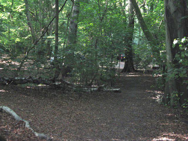 Photo could not load
TQ0019 : Secluded Car Park on Hesworth Common
Dave Spicer
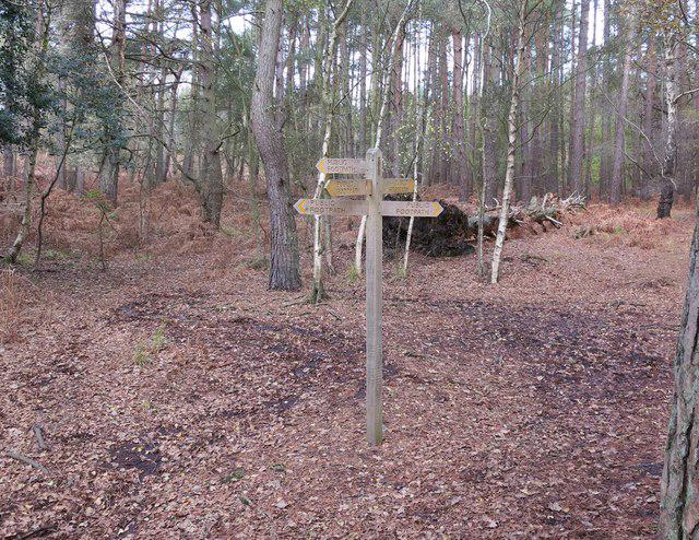 Photo could not load
TQ0019 : Which way?
The Saunterer
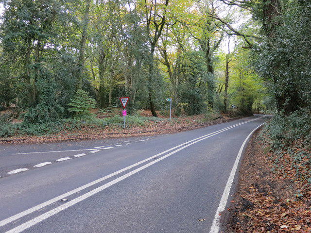 Photo could not load
TQ0019 : Footpath FP686 off A283
The Saunterer
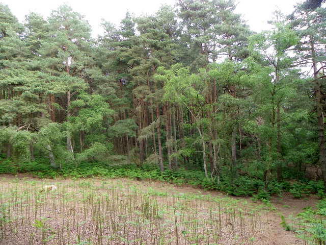 Photo could not load
TQ0019 : Hesworth Common
Maigheach-gheal
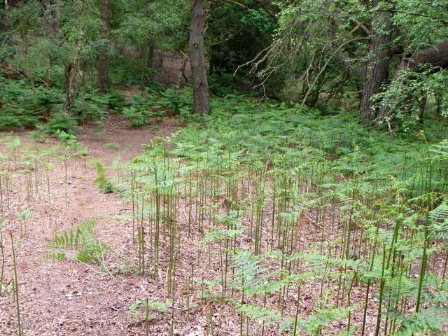 Photo could not load
TQ0019 : Bracken, Hesworth Common
Maigheach-gheal
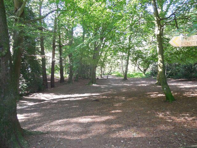 Photo could not load
TQ0019 : Woods near Car Park, Fittleworth
Paul Gillett
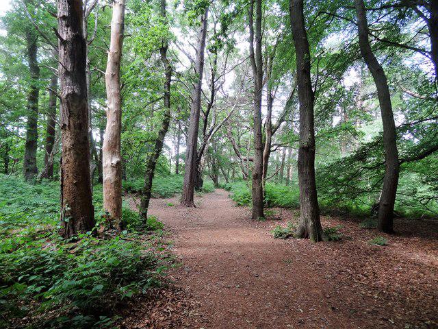 Photo could not load
TQ0019 : Path on the north side of Hesworth Common
Ian Hawfinch
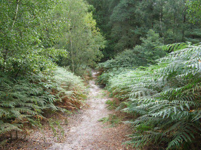 Photo could not load
TQ0019 : Serpent Trail path on Hesworth Common
Dave Spicer
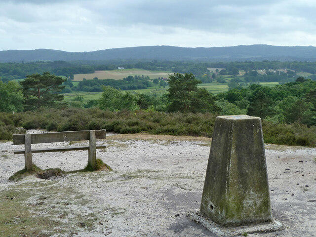 Photo could not load
TQ0019 : Trig point and bench with a view
Robin Webster
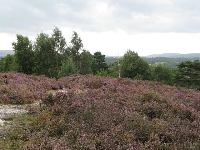
TQ0019 : Heather on Hesworth Common
Dave Spicer
Hill facts and local notes
Classifications
Elevation
69m
226 ft
Prominence
33m
Coordinates
50.9640, -0.5696
TQ005192
OS Map
197
Explorer: OL10 121
At the Summit
The summit features a small open area covered in grass, with a few well-placed benches for weary hikers to rest their legs and ponder life’s greatest mysteries.
Terrain & Geology
Composed mainly of chalk and flint, typical of the South Downs, providing a unique habitat for a variety of flora and fauna.
Views & Scenery
On a clear day, the views stretch across the rolling hills of the South Downs, with the distant sea shimmering on the horizon.
History & Heritage
Name Origin
Hesworth derives from the old English for 'heather enclosure', which is quite fitting given the area's flora.
Historical Significance
Hesworth Common is a historic area where local folk would gather for traditional fairs and celebrations.
Getting There & Facilities
Parking
There is a small layby on the A280 near the entrance to Hesworth Common, suitable for a few vehicles.
Public Transport
The nearest bus stop is in the village of Patching, about a 30-minute walk away. Check local bus schedules for times.
Nearby Facilities
There are no facilities directly on Hesworth Common, but the nearby village of Patching has a pub where you can restock on refreshments.
Safety Information
Known Hazards
- Mild inclines can become slippery when wet, and while the paths are generally safe, be wary of sudden changes in weather.
General Safety Tips
- Check weather conditions before setting out
- Carry appropriate clothing and equipment
- Let someone know your planned route
- Take a map, compass, and GPS device
- Carry emergency supplies: food, water, first aid kit, torch
Hills
Some common questions about the hills answered
Are there group walks up Hesworth Common?
Many walkers use Walkmates to join or organise walks with others. You can check for group walks around Hesworth Common through the maps
Are there other walkers around Hesworth Common?
Activity varies by location and time, but Walkmates lets you see whether others have shared walks or shown interest in this area. Find other people through the walking friends search walking friends for Hesworth Common search or of course create your own walk for Hesworth Common
Can I organise a walk to Hesworth Common?
Yes. If there aren’t any walks listed already, you can create a walk and make it available for others to join.
If you're signed up to Walkmates, you can create a walk to Hesworth Common.
How do I find a walk up this hill?
There are often multiple ways to walk this hill, depending on experience and route preference. Walkmates helps you explore walks and routes that others have shared.
Can I suggest a new route up Hesworth Common?
Yes. You can suggest or create routes to share with others. Walkmates focuses on the social side of walking, so routes are used to help people organise walks and explore areas together, rather than as detailed navigation tools or route libraries.
Other uses really appreciate knowledgeable walkers sharing their routes. Share your favourite route to Hesworth Common here
The is an error or something incorrect about this hill. How do I let you know?
We always strive to keep the information on Walkmates as accurate as possible. If you find an error, please let us know through the contact form and we'll aim to correct it as quickly as possible
Community Discussion
Comments
Location
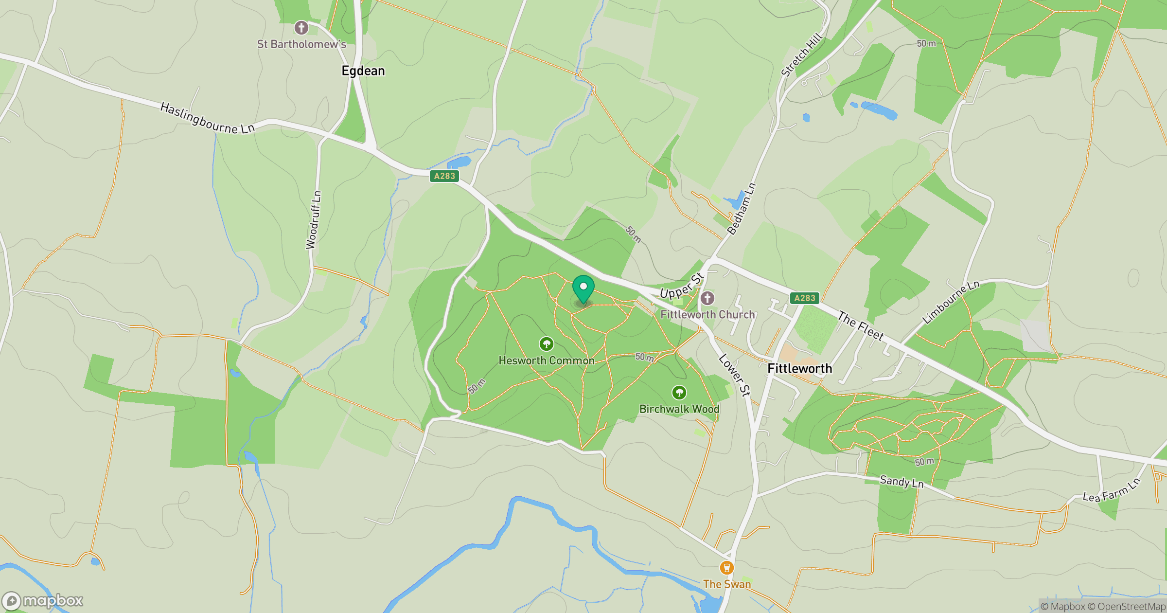
Grid reference: TQ005192
View on OpenStreetMapOpens a map in a new tab, centred on the hill.
Nearby Hills
Leith Hill
294m
Ditchling Beacon
248m
Worcestershire Beacon
425m
Glastonbury Tor
158m
Titterstone Clee Hill
533m
No comments yet. Be the first.