
Coastal
Circular
Medium
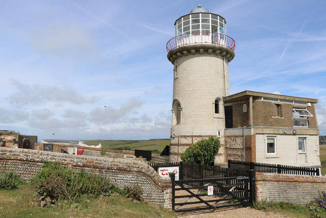
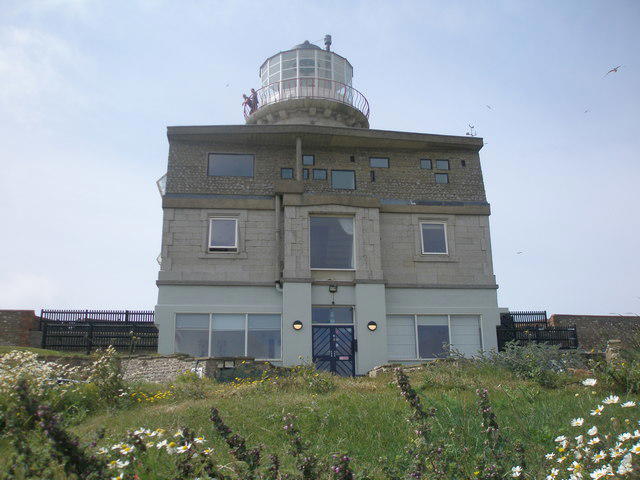
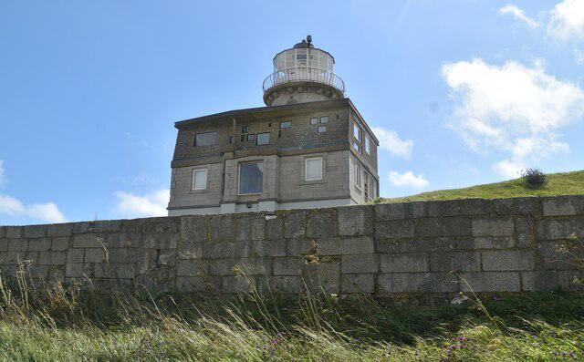
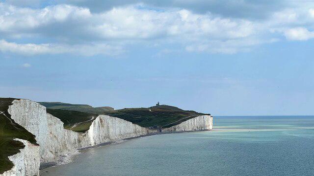
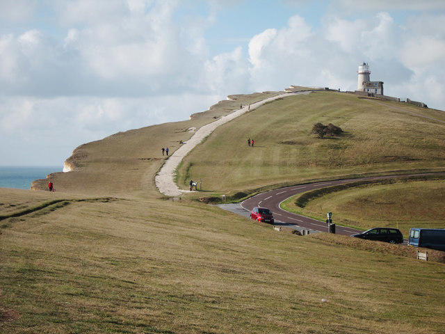
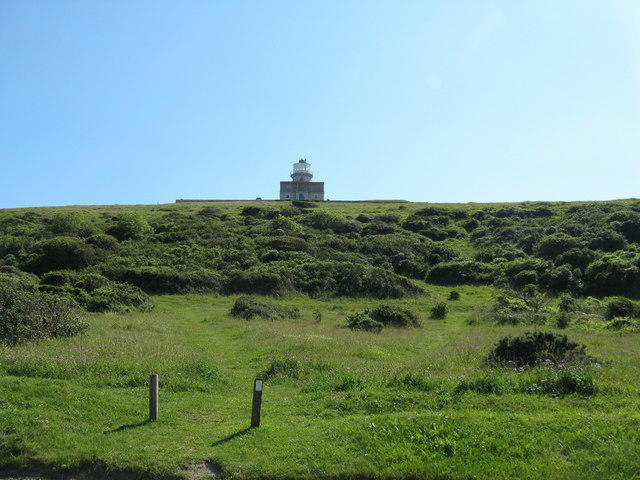
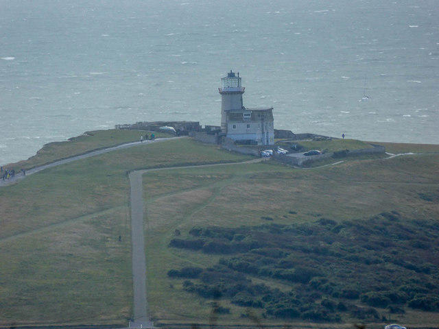
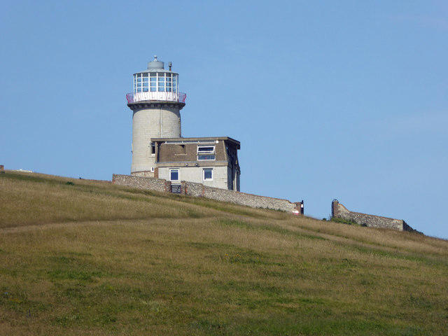
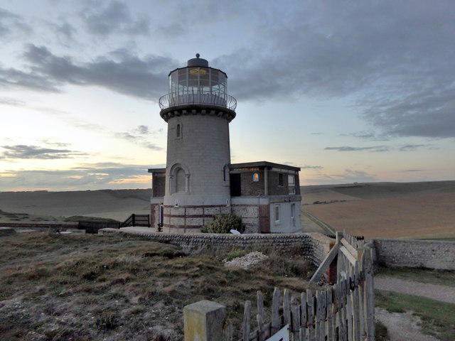
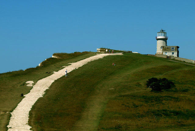
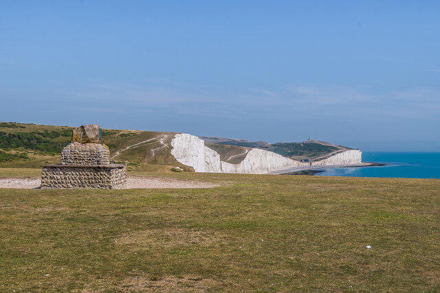
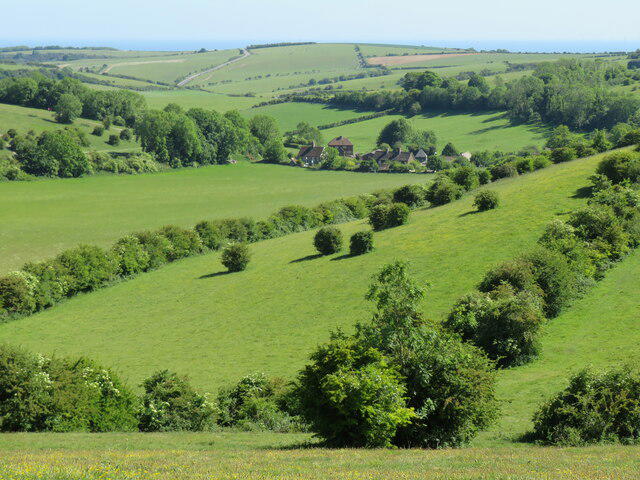
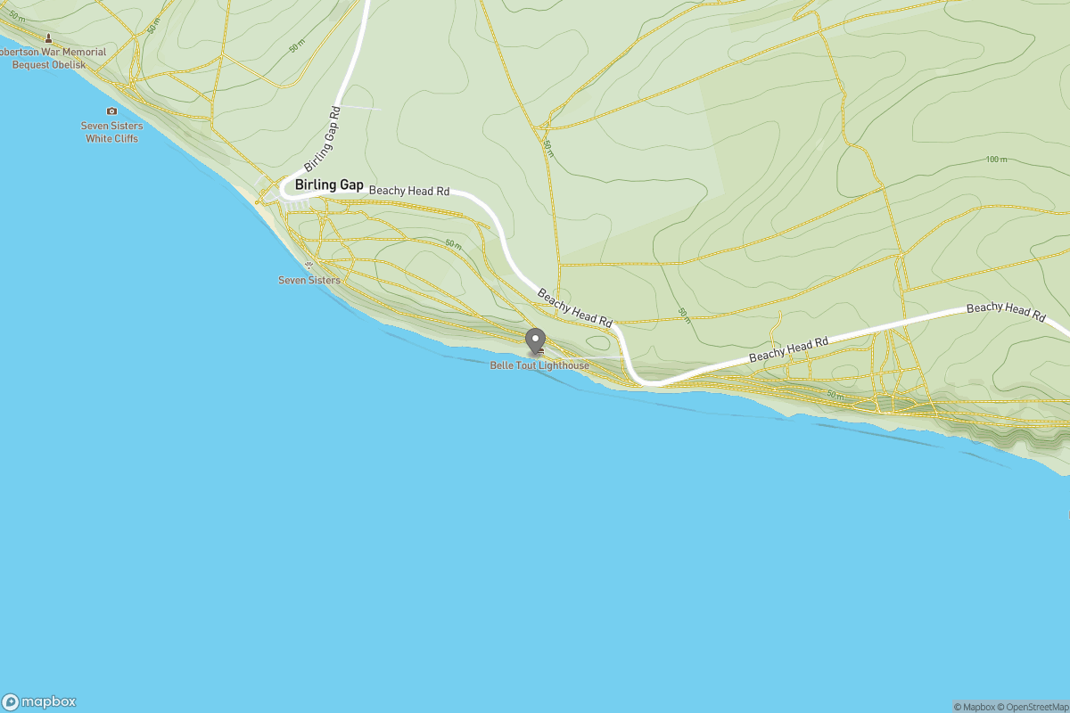
Seven Sisters Birling Gap and Friston Forest Circular
PaulWalkmates
Walk organiser
No comments yet. Be the first.