

Wilmington Hill
Good walks are even better shared.
TQ5403 : Wilmington Hill
Simon Carey Photo source
Overview
Wilmington Hill
Wilmington Hill, sitting proudly at an elevation of 163 meters, is a true gem in the South Downs National Park. Known for its striking chalk terrain and stunning views, this Marilyn invites hikers of all abilities to explore its summits and surrounding landscapes.
Geology
The hill is primarily made up of chalk, which gives rise to unique ecosystems and diverse plant life. The chalk downland is dotted with rare flowers, so keep an eye out for the occasional orchid poking through the grass. A little trivia: chalk is so soft it can even be scratched with a fingernail, so tread carefully!
Hiking Routes
- Wilmington Hill Circular Walk: A gentle 3.5 km route that is great for families and those looking for a leisurely stroll. It takes about 1.5 hours to complete, making it perfect for a Sunday jaunt.
- South Downs Way: For the more adventurous, you can connect to this iconic national trail, spanning approximately 21 km and taking around 6 hours. It’s a moderate hike but well worth the effort for the panoramic views.
Summit Features
At the top, a trig point stands like a proud flagpole, surveying the lush valleys below. Don’t be surprised if you share the summit with some local sheep—they're the unofficial guardians of Wilmington Hill and are often more photogenic than most hikers!
Terrain
The terrain on Wilmington Hill is mainly grassy, with occasional rocky outcrops that provide perfect picnic spots. Just be mindful of the chalky ground during wet weather as it can become quite slippery.
Views
The views from the summit are nothing short of spectacular. Gaze out towards the Channel on the horizon, and with a bit of luck, you might catch a glimpse of the Isle of Wight. To get the best photography, visit during spring or autumn when the air is clearer, and the light is just right for those Instagram shots!
Hazards
Like any outdoor escapade, a few hazards exist. Be wary of the sheep wandering about, and after rains, the chalk paths can become slick. Proper footwear is recommended to keep you on your feet.
Nearby Summits
Don’t stop at Wilmington Hill—make sure to check out nearby Cissbury Ring and Devil's Dyke, both offering their own unique landscapes and views!
Access
Accessing Wilmington Hill is quite straightforward. Parking can be found in a small layby along the A27, and public transport options to nearby Lewes facilitate connections to the hill. The friendly village of Wilmington is just a mile away, making it a perfect starting point for your adventure.
Facilities
Wilmington has limited amenities, but the bustling town of Lewes is a short drive away and boasts various cafes and shops to replenish your energy after exploring.
History
The name Wilmington hails from Old English, meaning 'Wulfmaer's estate'. The hill itself is rich in history, with remains from the Neolithic period and ancient flint mines, making this destination not just a treat for your legs but a feast for your history-loving brain!
So there you have it; Wilmington Hill is a delightful destination that combines nature, history, and breathtaking views, perfect for a day out in the great outdoors. Pull on those hiking boots, pack a picnic, and don’t forget to bring your sense of adventure!
Explore routes near Wilmington Hill
Walks starting near this hill. Open a route to check its map, distance and full itinerary.
Seven Sisters Birling Gap and Friston Forest Circular
View route
Hellingly to Horam: Cuckoo Trail railway bridges and old station return
View route
Cuckoo Trail: Heathfield to Polegate Station
View route
Brighton Walk with Men Walking & Talking
View route
Route planning notes
These notes describe possible approaches. Check a route's map and access information when planning your walk.
Wilmington Hill Circular Walk
A scenic circular walk that takes you through the surrounding countryside with a gentle ascent to the summit.
South Downs Way
Part of the famous national trail, connect to Wilmington Hill for breathtaking views and a rewarding hike.
Make a day of it, together
Find someone to share the walk with, or organise a day out along a route you like.
Photo Gallery
View all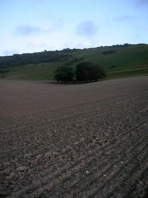 Photo could not load
TQ5403 : Wilmington Hill
Simon Carey
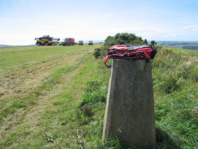 Photo could not load
TQ5403 : Wilmington Hill
Rude Health
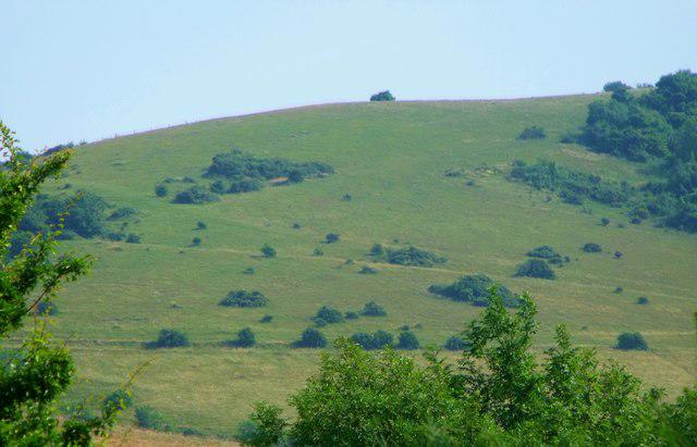 Photo could not load
TQ5403 : Wilmington Hill
nick macneill
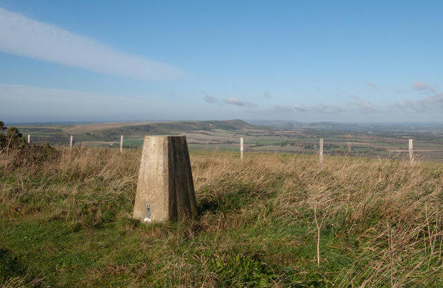 Photo could not load
TQ5403 : Trig point of Wilmington Hill
Trevor Littlewood
Hill facts and local notes
Classifications
Elevation
215m
704 ft
Prominence
195m
Coordinates
50.8098, 0.1965
TQ548034
OS Map
199
Explorer: OL25 123
At the Summit
The summit features a prominent trig point, along with a few grazing sheep that seem to keep the view company.
Terrain & Geology
Wilmington Hill is predominantly composed of chalk, characteristic of the South Downs, offering not only beautiful white cliffs but a curious variety of flora that thrives in this unique ecosystem.
Views & Scenery
From the summit, one can enjoy panoramic views of the surrounding South Downs, the distant coast, and on a clear day, the outline of the Isle of Wight.
History & Heritage
Name Origin
The name 'Wilmington' is derived from Old English, meaning 'Wulfmaer's estate'.
Historical Significance
The area has historical significance with remnants from various eras, including ancient earthworks and Neolithic flint mines.
Getting There & Facilities
Parking
There is a small layby along the A27, just southwest of the hill, suitable for a few cars.
Public Transport
The nearest train station is at Lewes, from where you can take a bus or cycle to Wilmington.
Nearby Facilities
There are limited facilities in Wilmington, but the nearby town of Lewes offers cafes, restaurants, and public toilets.
Safety Information
Known Hazards
- Watch for sheep on the paths and slippery chalky areas after rain.
General Safety Tips
- Check weather conditions before setting out
- Carry appropriate clothing and equipment
- Let someone know your planned route
- Take a map, compass, and GPS device
- Carry emergency supplies: food, water, first aid kit, torch
Hills
Some common questions about the hills answered
Are there group walks up Wilmington Hill?
Many walkers use Walkmates to join or organise walks with others. You can check for group walks around Wilmington Hill through the maps
Are there other walkers around Wilmington Hill?
Activity varies by location and time, but Walkmates lets you see whether others have shared walks or shown interest in this area. Find other people through the walking friends search walking friends for Wilmington Hill search or of course create your own walk for Wilmington Hill
Can I organise a walk to Wilmington Hill?
Yes. If there aren’t any walks listed already, you can create a walk and make it available for others to join.
If you're signed up to Walkmates, you can create a walk to Wilmington Hill.
How do I find a walk up this hill?
There are often multiple ways to walk this hill, depending on experience and route preference. Walkmates helps you explore walks and routes that others have shared.
Can I suggest a new route up Wilmington Hill?
Yes. You can suggest or create routes to share with others. Walkmates focuses on the social side of walking, so routes are used to help people organise walks and explore areas together, rather than as detailed navigation tools or route libraries.
Other uses really appreciate knowledgeable walkers sharing their routes. Share your favourite route to Wilmington Hill here
The is an error or something incorrect about this hill. How do I let you know?
We always strive to keep the information on Walkmates as accurate as possible. If you find an error, please let us know through the contact form and we'll aim to correct it as quickly as possible
Community Discussion
Comments
Location
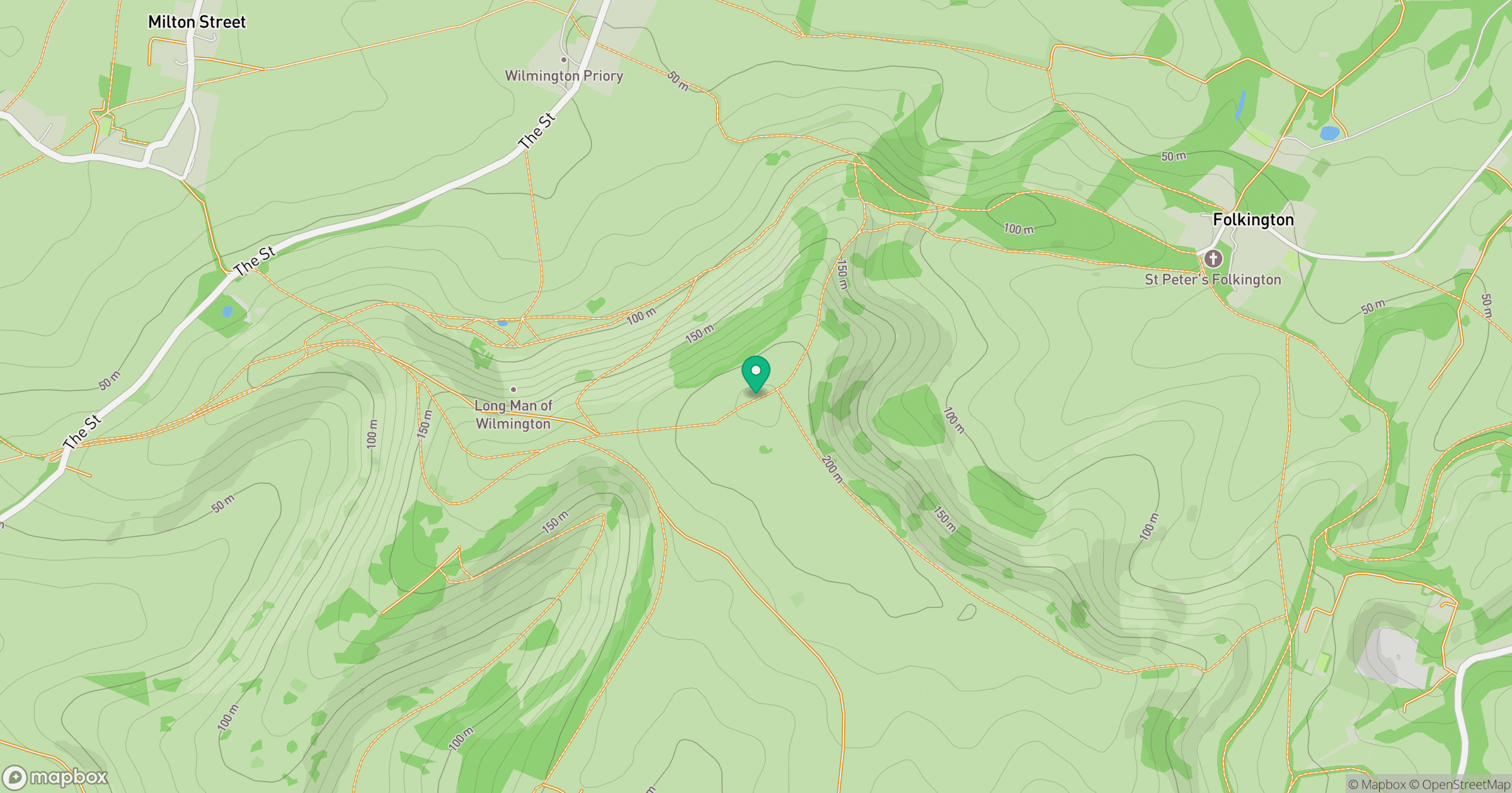
Grid reference: TQ548034
View on OpenStreetMapOpens a map in a new tab, centred on the hill.
Nearby Hills
Ditchling Beacon
248m
Leith Hill
294m
Worcestershire Beacon
425m
Glastonbury Tor
158m
Titterstone Clee Hill
533m
No comments yet. Be the first.