

Goleigh Hill
Good walks are even better shared.
SU7230 : Looking from Button's Lane up Holtham Lane
Shazz Photo source
Overview
Goleigh Hill: A Hidden Gem in the South Downs
Nestled in the picturesque South Downs, Goleigh Hill stands at 158 meters (518 feet), offering a delightful escape into nature for hikers and outdoor enthusiasts alike. With its gentle slopes and vibrant surroundings, it's perfect for a casual day out or a family adventure.
Geology
Goleigh Hill is a prime example of the wonderful geology found across the South Downs. Composed of chalk and flint, its landscape tells a story of the earth's history. The exposed Upper Chalk layers make for interesting rock formations – just try not to trip over while gazing at them!
Routes
The most popular route is the Goleigh Hill Circular Route. This 5 km trek can be accomplished in around 1.5 hours, making it perfect for families or those looking for a pleasant stroll. The path meanders through scenic woodlands and lush, grassy fields, providing numerous spots to stop and take in the fresh air.
Summit Features
At the summit, you'll find a quaint stone cairn. This isn't just a pile of rocks – it's a small monument marking the triumph of reaching the pinnacle of Goleigh Hill, where many have paused to appreciate the stunning vistas.
Terrain
The terrain is primarily grassy with some rocky outcrops, comfortable for walkers of all abilities. Just keep an eye out for any hidden roots waiting to make you trip – Mother Nature loves a good chuckle!
Views
The views from Goleigh Hill are absolutely worth the effort. On a clear day, you can see the rolling hills of the South Downs stretching as far as the eye can see, dotted with charming villages and farms. The best times to experience these stunning sights are during spring and autumn when the landscape is at its finest.
Hazards
While Goleigh Hill is generally safe, be mindful of loose rocks and the occasional boggy patch, especially after a good downpour. We recommend sturdy footwear and a sense of humour!
Nearby Summits
For those looking to explore more, Goleigh Hill is close to other notable peaks like Kithurst Hill (203 meters) and Devil's Dyke (248 meters). Both offer their own unique views and experiences, making for a great day of hiking!
Access
Getting to Goleigh Hill is a cinch. The nearest parking is in the quaint village of Storrington, which offers ample spots. There are also public transport links, so you can leave the car behind if you prefer.
Facilities
Storrington boasts several cafes and pubs, as well as public toilets, ensuring you’re well catered for before or after your hike. It's always nice to reward yourself with a slice of cake for completing your walk!
History
The name 'Goleigh' comes from Old English, with interpretations pointing to its meaning as 'hill'. It proudly sits within a landscape rich in history, significantly used for agriculture and grazing since the Iron Age.
In conclusion, Goleigh Hill should be on every enthusiasts' list. Whether you're after stunning views, a peaceful stroll, or a bit of a workout, this gentle giant has something for everyone!
Explore routes near Goleigh Hill
Walks starting near this hill. Open a route to check its map, distance and full itinerary.
Hinton Ampner: Dutton Estate Woodland and Downland Circuit
View route
Hindhead Sailor's Stroll to Gibbet Hill
View route
Frensham Little Pond and Snowball Ridge Walk
View route
Petworth Park: Capability Brown Hills and Lower Pond Circuit
View route
Route planning notes
These notes describe possible approaches. Check a route's map and access information when planning your walk.
Goleigh Hill Circular Route
A scenic circular walk starting from the nearby village, offering a mix of woodlands and open fields.
Make a day of it, together
Find someone to share the walk with, or organise a day out along a route you like.
Photo Gallery
View all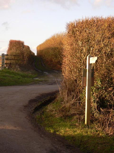 Photo could not load
SU7230 : Looking from Button's Lane up Holtham Lane
Shazz
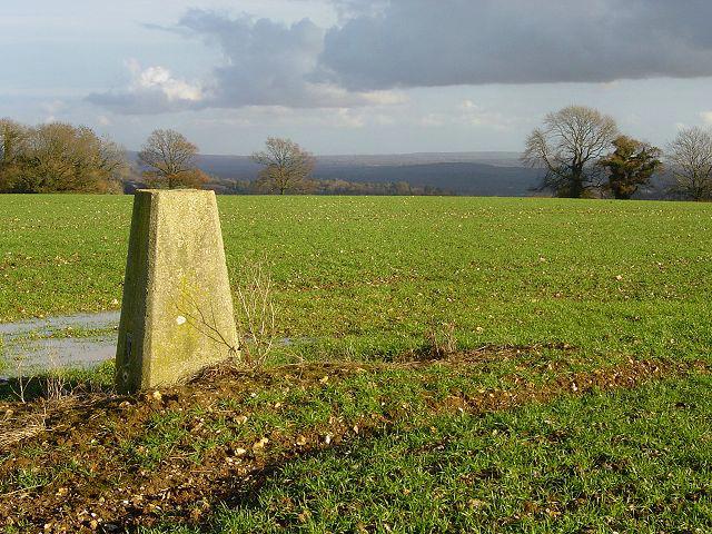 Photo could not load
SU7230 : Trig point near Goleigh Farm
Hugh Chevallier
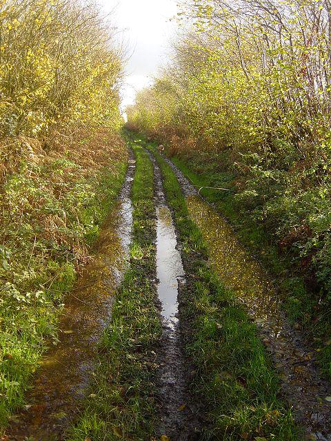 Photo could not load
SU7230 : Looking down Holtham Lane
Hugh Chevallier
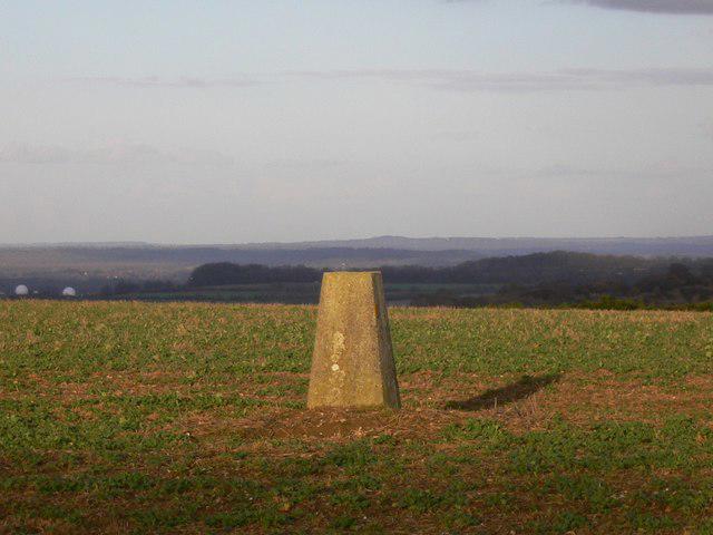 Photo could not load
SU7230 : Triangulation pillar by Holtham Lane
Shazz
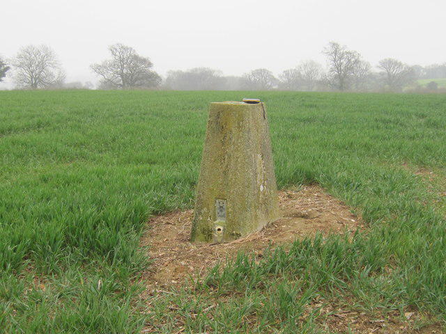 Photo could not load
SU7230 : Ordnance Survey Flush Bracket S1670
Peter Wood
Hill facts and local notes
Classifications
Elevation
220m
722 ft
Prominence
54m
Coordinates
51.0722, -0.9638
SU726308
OS Map
186
Explorer: OL33 133
At the Summit
At the summit, you'll find a small stone cairn that stands as a humble tribute to the countless hikers who have enjoyed the splendid views from Goleigh Hill.
Terrain & Geology
Goleigh Hill is primarily composed of chalk and flint, typical of the South Downs, with exposed layers of the Upper Chalk formation. This geological composition contributes to the iconic rolling hills of the region, providing a habitat for diverse flora and fauna.
Views & Scenery
From the summit, you can enjoy breathtaking views of the surrounding South Downs, including the distant rolling hills and the charming rooftops of nearby villages.
History & Heritage
Name Origin
The name 'Goleigh' is thought to be derived from Old English, meaning 'hill' or 'mound', a nod to its prominent position in the South Downs.
Historical Significance
Historically, this area has been essential for agriculture and grazing, with settlements dating back to the Iron Age.
Getting There & Facilities
Parking
Parking is available at the village of Storrington, with a small car park located off the main road.
Public Transport
Regular bus services run from nearby towns to Storrington, making it accessible without a car.
Nearby Facilities
Storrington offers a range of facilities, including cafes, pubs, and public toilets, ensuring you won't go without a cuppa or a slice of cake.
Safety Information
Known Hazards
- Watch out for loose rocks and occasionally boggy patches, especially after heavy rain.
General Safety Tips
- Check weather conditions before setting out
- Carry appropriate clothing and equipment
- Let someone know your planned route
- Take a map, compass, and GPS device
- Carry emergency supplies: food, water, first aid kit, torch
Hills
Some common questions about the hills answered
Are there group walks up Goleigh Hill?
Many walkers use Walkmates to join or organise walks with others. You can check for group walks around Goleigh Hill through the maps
Are there other walkers around Goleigh Hill?
Activity varies by location and time, but Walkmates lets you see whether others have shared walks or shown interest in this area. Find other people through the walking friends search walking friends for Goleigh Hill search or of course create your own walk for Goleigh Hill
Can I organise a walk to Goleigh Hill?
Yes. If there aren’t any walks listed already, you can create a walk and make it available for others to join.
If you're signed up to Walkmates, you can create a walk to Goleigh Hill.
How do I find a walk up this hill?
There are often multiple ways to walk this hill, depending on experience and route preference. Walkmates helps you explore walks and routes that others have shared.
Can I suggest a new route up Goleigh Hill?
Yes. You can suggest or create routes to share with others. Walkmates focuses on the social side of walking, so routes are used to help people organise walks and explore areas together, rather than as detailed navigation tools or route libraries.
Other uses really appreciate knowledgeable walkers sharing their routes. Share your favourite route to Goleigh Hill here
The is an error or something incorrect about this hill. How do I let you know?
We always strive to keep the information on Walkmates as accurate as possible. If you find an error, please let us know through the contact form and we'll aim to correct it as quickly as possible
Community Discussion
Comments
Location
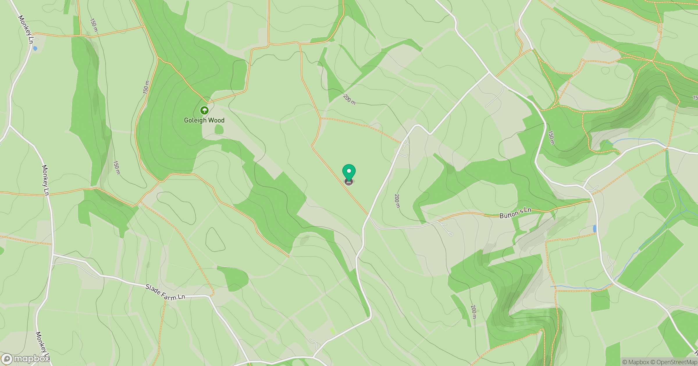
Grid reference: SU726308
View on OpenStreetMapOpens a map in a new tab, centred on the hill.
Nearby Hills
Leith Hill
294m
Ditchling Beacon
248m
Worcestershire Beacon
425m
Glastonbury Tor
158m
Titterstone Clee Hill
533m
No comments yet. Be the first.