
Bow Hill
Good walks are even better shared.
Overview
Bow Hill: A Hidden Gem in the Chilterns
Nestled within the picturesque Chiltern Hills, Bow Hill stands at a modest elevation of 253 meters. This Marilyn, while not towering in height, provides dramatic views that can strike awe as effectively as the grandest of peaks.
Geology
Bow Hill's geology is a delightful mix of chalk and flint. This composition is characteristic of the region, creating not just stunning hills but also a variety of habitats that teem with biodiversity. Come spring, expect to see a riot of wildflowers; it can feel like nature's version of an explosion in a paint factory!
Access
Getting to Bow Hill is relatively simple. The nearest parking area is located at Sopwell Nook, just a gentle walk away. Tring offers the nearest train station, and local bus services connect it to nearby villages. So, whether you're coming by car or the good old bus, you'll find your path without much fuss.
Routes
The most popular choice among hikers is the Bow Hill Circular Trail. This 7.2 km circuit offers both a workout and stunning views, making it an ideal choice for families and individuals alike. Scheduled to take about 2.5 hours, this route presents a mix of moderate terrain that balances challenge with accessibility.
Summit Features
At the summit, you’ll find a charming wooden bench, perfect for resting your legs after the climb – or for inviting a picnic partner to join you. The stone cairn adds a rustic appeal, making for a picturesque viewpoint perfect for photos.
Views
The views from the summit are simply splendid, especially on clear days when iconic landmarks like the White Horse of Uffington can be seen in the distance. Come spring and autumn for the best vistas – the valleys below transform into vibrant canvases of greens and golds.
Hazards
Although Bow Hill is a manageable hike, beware of changing weather conditions. The paths can become muddy after rainfall, so sturdy footwear is a must. Keep an eye out for local wildlife; if you spot a sheep staring at you, just remember it's not judging your hiking style!
Nearby Summits
Want to extend your adventure? Nearby, you can conquer Bison Hill or Berkhamsted Common, both offering their unique experiences and stunning scenery.
History
Bow Hill’s name points to a rich historical context, likely connected to archery from days gone by. The Chilterns are steeped in history, once playing host to ancient tribes and now to hikers keen on exploring the landscapes that inspired writers and poets alike.
Conclusion
Bow Hill might not be the highest peak you've ever climbed, but its charm, accessibility, and splendid vistas ensure it earns a rightful spot on any hiker's list. Prepare your boots, pack a tasty snack, and enjoy what this lovely hill has to offer!
So, lace up your walking boots and step out into the beautiful Chilterns; Bow Hill awaits!
Explore routes near Bow Hill
Walks starting near this hill. Open a route to check its map, distance and full itinerary.
Havant Walk with Men Walking & Talking
View route
Bognor Regis Walk & Talk
View route
Bognor Regis Walk & Talk
View route
Bognor Regis Walk & Talk
View route
Route planning notes
These notes describe possible approaches. Check a route's map and access information when planning your walk.
Bow Hill Circular Trail
A scenic circular route that embraces the best views of the surrounding countryside, perfect for a leisurely day out.
Make a day of it, together
Find someone to share the walk with, or organise a day out along a route you like.
Hill facts and local notes
Classifications
Elevation
206m
676 ft
Prominence
74m
Coordinates
50.8944, -0.8297
SU824112
OS Map
197
Explorer: OL8 120
At the Summit
The summit boasts a fine wooden bench for resting weary legs and a small stone cairn, making for a pleasant spot to enjoy a packed lunch.
Terrain & Geology
Bow Hill is primarily composed of chalk and flint, typical of the Chilterns. The underlying geology gives rise to rich biodiversity and some lovely wildflowers in the spring.
Views & Scenery
On a clear day, you can spot the famous White Horse of Uffington and the sprawling English countryside stretching out like a green quilt.
History & Heritage
Name Origin
Bow Hill likely derives its name from the Old English for ‘hill with a bow’, indicating historical use for archery in the countryside.
Historical Significance
The Chilterns have a rich historical tapestry, used by ancient peoples and featured in various literary works, making Bow Hill a cultural gem.
Getting There & Facilities
Parking
There is a small car park at Sopwell Nook (SU828109), suitable for approximately 10 vehicles, about a 15-minute walk from the summit.
Public Transport
The nearest train station is at Tring, approximately 5 km away. Regular bus services connect with local villages, leading to the starting points.
Nearby Facilities
The nearby village of Aldbury offers a couple of quaint pubs and cafes, as well as public toilets – just what you need after a hearty walk!
Safety Information
Known Hazards
- Be cautious of sudden weather changes, as well as the occasionally muddy paths after rainfall. And keep an eye out for the odd sheep or two!
General Safety Tips
- Check weather conditions before setting out
- Carry appropriate clothing and equipment
- Let someone know your planned route
- Take a map, compass, and GPS device
- Carry emergency supplies: food, water, first aid kit, torch
Hills
Some common questions about the hills answered
Are there group walks up Bow Hill?
Many walkers use Walkmates to join or organise walks with others. You can check for group walks around Bow Hill through the maps
Are there other walkers around Bow Hill?
Activity varies by location and time, but Walkmates lets you see whether others have shared walks or shown interest in this area. Find other people through the walking friends search walking friends for Bow Hill search or of course create your own walk for Bow Hill
Can I organise a walk to Bow Hill?
Yes. If there aren’t any walks listed already, you can create a walk and make it available for others to join.
If you're signed up to Walkmates, you can create a walk to Bow Hill.
How do I find a walk up this hill?
There are often multiple ways to walk this hill, depending on experience and route preference. Walkmates helps you explore walks and routes that others have shared.
Can I suggest a new route up Bow Hill?
Yes. You can suggest or create routes to share with others. Walkmates focuses on the social side of walking, so routes are used to help people organise walks and explore areas together, rather than as detailed navigation tools or route libraries.
Other uses really appreciate knowledgeable walkers sharing their routes. Share your favourite route to Bow Hill here
The is an error or something incorrect about this hill. How do I let you know?
We always strive to keep the information on Walkmates as accurate as possible. If you find an error, please let us know through the contact form and we'll aim to correct it as quickly as possible
Community Discussion
Comments
Location
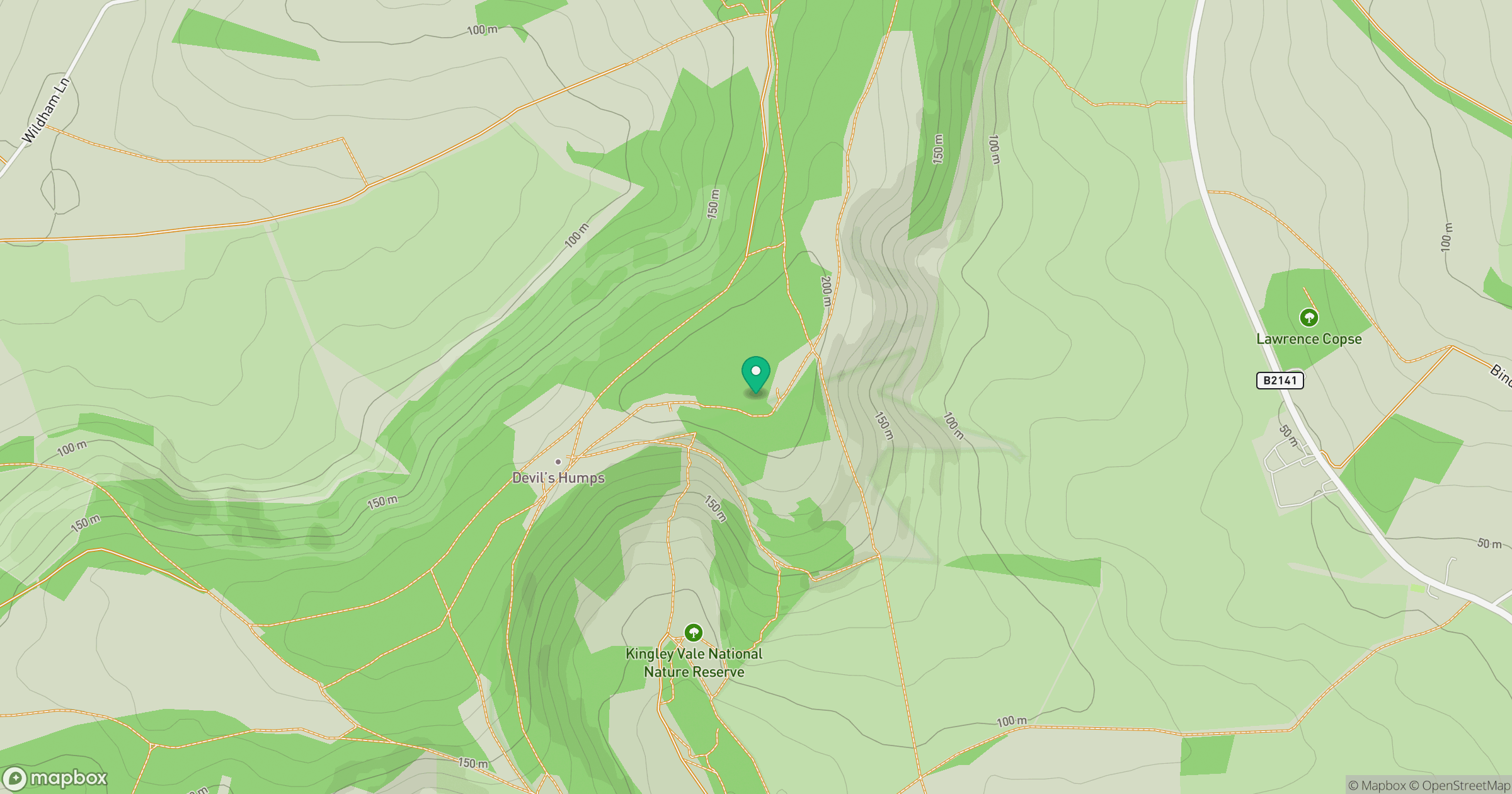
Grid reference: SU824112
View on OpenStreetMapOpens a map in a new tab, centred on the hill.
Nearby Hills
Leith Hill
294m
Ditchling Beacon
248m
Glastonbury Tor
158m
Worcestershire Beacon
425m
Titterstone Clee Hill
533m
No comments yet. Be the first.