

Wolstonbury Hill
Good walks are even better shared.
TQ2813 : Quarry, Wolstonbury Hill
Simon Carey Photo source
Overview
Wolstonbury Hill
Wolstonbury Hill is a 206 m chalk hill near Clayton and Pyecombe in the South Downs. The current primary record gives 75 m prominence and a 131 m col at TQ296133. It is a Tump. Primary hill record
Summit, nature and history
The exact high point is a grassy mound 17 m north of the trig, at TQ 28398 13864. The trig marks the summit area rather than the precise natural top.
Chalk grassland supports orchids and other downland wildlife, while beech woodland covers parts of the lower slopes. National Trust visitor information
Historic England identifies the hilltop camp as a Late Bronze Age enclosure. Its bank and ditch survive alongside evidence of later use and flint quarrying. The scheduled monument’s reference point describes the heritage site, not the exact summit. Historic England record
Complete return walk
National Trust’s 5.92 km nature circuit begins and ends at the Jack & Jill Inn in Clayton. It visits woodland, quarry paths and the enclosure’s trig area before returning via New Way Lane. The natural high point lies a short distance north of the trig; no separately measured summit detour is added to the circuit total. Full directions and map
Access
Use the signed parking at Clayton Green recreation ground and check local notices. Hassocks rail station requires additional onward travel. Metrobus270 serves the area; check current stops and times rather than assuming every service operates. Metrobus270
Sources checked 18 October 2026. No personal on-foot inspection is claimed.
Explore routes near Wolstonbury Hill
Walks starting near this hill. Open a route to check its map, distance and full itinerary.
Brighton Walk with Men Walking & Talking
View route
Ashdown Forest Wellington Crash Site and Airman's Grave
View route
Crawley Down: Worth Way Railway Trail to East Grinstead and Back
View route
Twilight wildlife walk at Old Lodge
View route
Route planning notes
These notes describe possible approaches. Check a route's map and access information when planning your walk.
Wolstonbury nature circuit from Clayton
Start and finish at the Jack & Jill Inn, Clayton (TQ2983914240). Follow New Way Lane and the uphill bridleway, loop through the lower beech woods and quarry paths, then climb into the Bronze Age enclosure and trig area. Descend towards the windmills, return through woodland to the National Trust sign and turn downhill to New Way Lane and the inn. National Trust gives 5.92 km for this complete circuit. Use its ten-stage directions and map: https://www.nationaltrust.org.uk/visit/sussex/devils-dyke/wolstonbury-hill-explore-nature-walk
Make a day of it, together
Find someone to share the walk with, or organise a day out along a route you like.
Photo Gallery
View all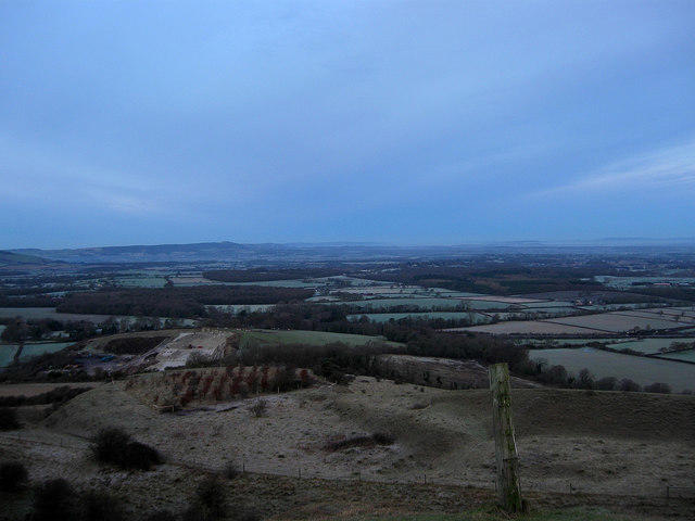 Photo could not load
TQ2813 : Quarry, Wolstonbury Hill
Simon Carey
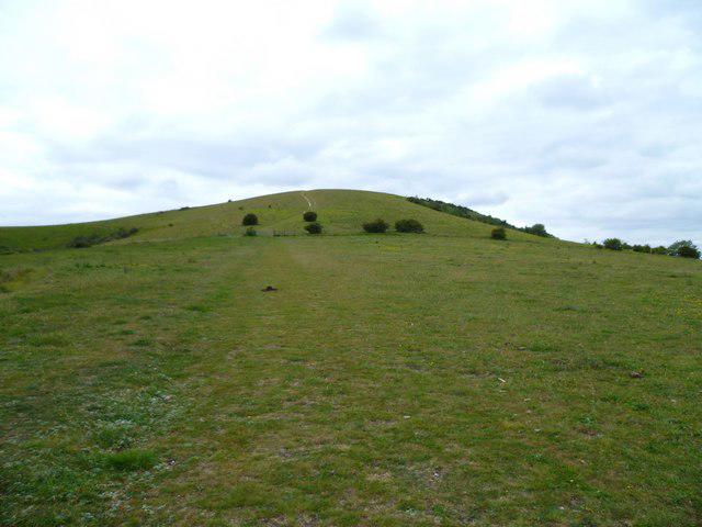 Photo could not load
TQ2813 : Wolstonbury Hill from the east
Shazz
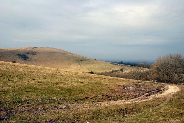 Photo could not load
TQ2813 : West to Wolstonbury Hill
Peter Jeffery
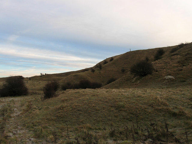 Photo could not load
TQ2813 : Quarry, Wolstonbury Hill
Simon Carey
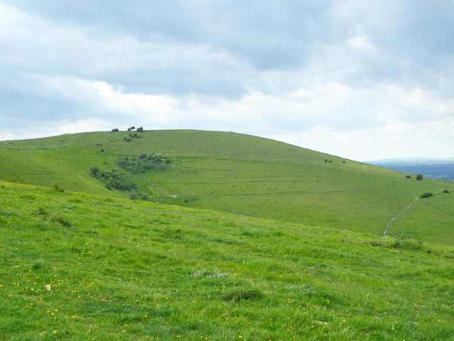 Photo could not load
TQ2813 : Wolstonbury Hill
Robin Webster
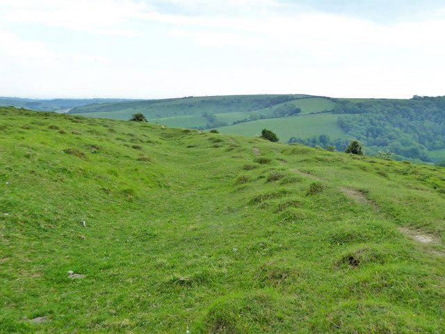 Photo could not load
TQ2813 : Ditch and bank, Wolstonbury Hill
Robin Webster
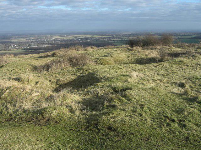 Photo could not load
TQ2813 : Pyecombe, Wolstonbury hill top
Peter Cox
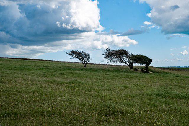 Photo could not load
TQ2813 : Wolstonbury Hill : trees
Jim Osley
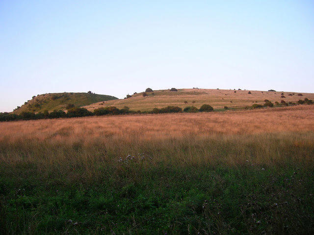 Photo could not load
TQ2813 : Iron Age Fort, Wolstonbury Hill
Simon Carey
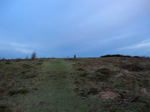
TQ2813 : Trig Point, Wolstonbury Hill
Simon Carey
Hill facts and local notes
Classifications
Elevation
206m
676 ft
Prominence
75m
Coordinates
50.9099, -0.1751
TQ283138
OS Map
198
Explorer: OL11 122
At the Summit
The 206 m natural high point is a grassy mound 17 m north of the trig point, at TQ 28398 13864. The trig and surrounding prehistoric earthworks are distinct features.
Terrain & Geology
Wolstonbury Hill is primarily composed of chalk, characteristic of the South Downs. The soil supports a variety of flora including rare orchids, making it a biodiversity hotspot.
Views & Scenery
Views across the Weald and South Downs towards the sea, including Newtimber Hill and Devil’s Dyke, subject to visibility.
History & Heritage
Historical Significance
Historic England identifies Wolstonbury Camp as a Late Bronze Age Ram’s Hill type enclosure. Later occupation and cultivation altered the hilltop, and 18th- and 19th-century flint digging disturbed parts of the enclosure. Protect the surviving earthworks.
Getting There & Facilities
Parking
Clayton Green recreation ground, Underhill Lane, BN6 9PJ, near the route start at the Jack & Jill Inn. This is not a National Trust car park; follow current signs.
Public Transport
Hassocks railway station is an additional approach to Clayton, outside the 5.92 km circuit. Metrobus270 links Brighton with Clayton, Pyecombe and Hassocks. Check the operator’s date-specific timetable and disruptions; the London Road, Hassocks stop was suspended when checked on 18 October 2026.
Nearby Facilities
There are no National Trust facilities on Wolstonbury Hill. The Jack & Jill Inn in Clayton and the Plough in Pyecombe are nearby independent pubs; check opening and customer access.
Safety Information
Known Hazards
- Paths can be very wet and muddy after rain or in winter.
- Expect steep sections, steps, stiles and uneven quarry ground.
- Keep dogs on a close lead throughout this National Trust route, and avoid damaging archaeological earthworks.
General Safety Tips
- Check weather conditions before setting out
- Carry appropriate clothing and equipment
- Let someone know your planned route
- Take a map, compass, and GPS device
- Carry emergency supplies: food, water, first aid kit, torch
Hills
Some common questions about the hills answered
Are there group walks up Wolstonbury Hill?
Many walkers use Walkmates to join or organise walks with others. You can check for group walks around Wolstonbury Hill through the maps
Are there other walkers around Wolstonbury Hill?
Activity varies by location and time, but Walkmates lets you see whether others have shared walks or shown interest in this area. Find other people through the walking friends search walking friends for Wolstonbury Hill search or of course create your own walk for Wolstonbury Hill
Can I organise a walk to Wolstonbury Hill?
Yes. If there aren’t any walks listed already, you can create a walk and make it available for others to join.
If you're signed up to Walkmates, you can create a walk to Wolstonbury Hill.
How do I find a walk up this hill?
There are often multiple ways to walk this hill, depending on experience and route preference. Walkmates helps you explore walks and routes that others have shared.
Can I suggest a new route up Wolstonbury Hill?
Yes. You can suggest or create routes to share with others. Walkmates focuses on the social side of walking, so routes are used to help people organise walks and explore areas together, rather than as detailed navigation tools or route libraries.
Other uses really appreciate knowledgeable walkers sharing their routes. Share your favourite route to Wolstonbury Hill here
The is an error or something incorrect about this hill. How do I let you know?
We always strive to keep the information on Walkmates as accurate as possible. If you find an error, please let us know through the contact form and we'll aim to correct it as quickly as possible
Community Discussion
Comments
Location
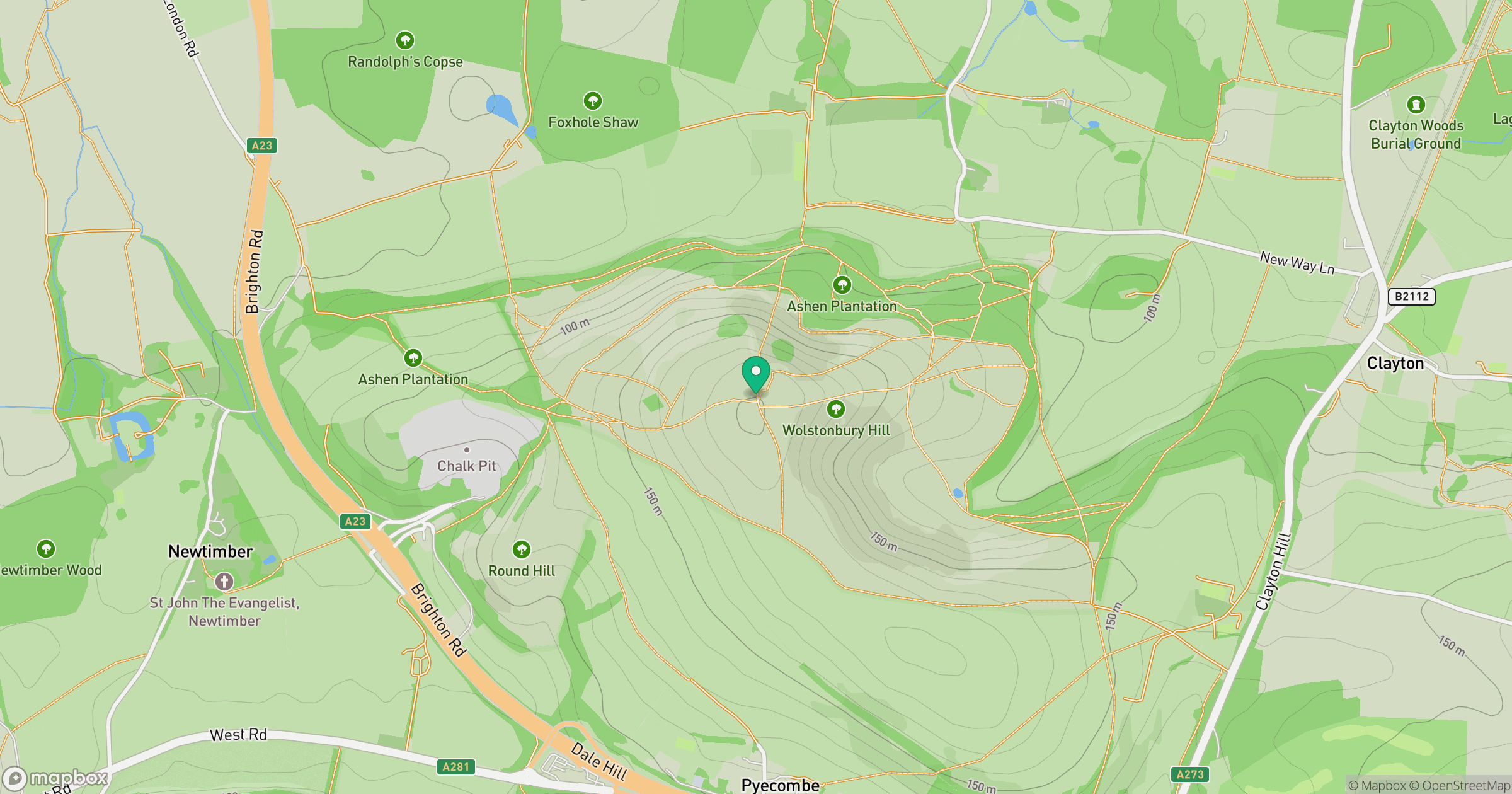
Grid reference: TQ283138
View on OpenStreetMapOpens a map in a new tab, centred on the hill.
Nearby Hills
Ditchling Beacon
248m
Leith Hill
294m
Worcestershire Beacon
425m
Glastonbury Tor
158m
Titterstone Clee Hill
533m
No comments yet. Be the first.