
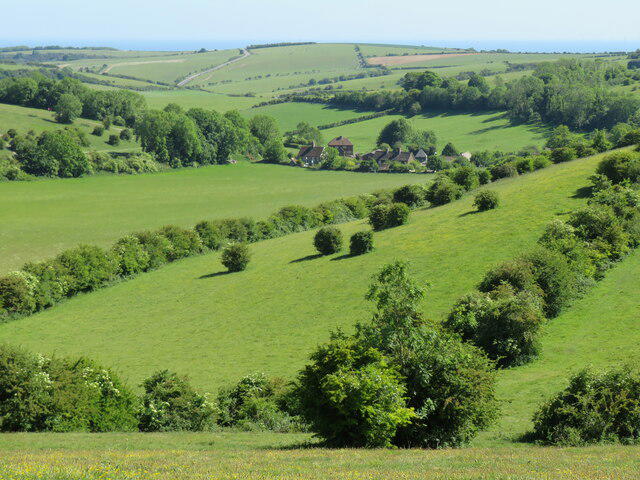
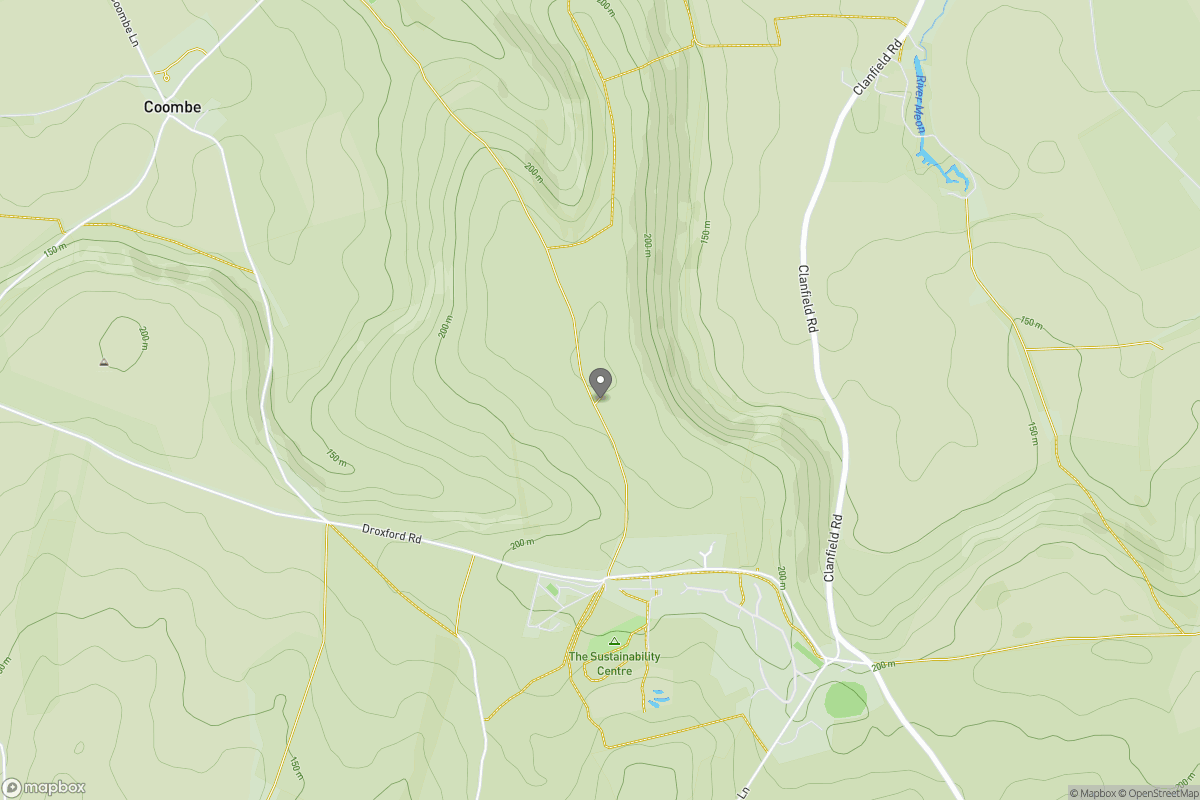
Countryside
Circular
Easy
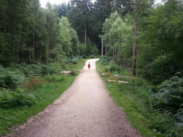
Wilverley Inclosure Walk, New Forest
PaulWalkmates
Walk organiser

No comments yet. Be the first.