

Ports Down
Good walks are even better shared.
SU6206 : Roundabout opposite Fort Southwick
Basher Eyre Photo source
Overview
Ports Down
Overview
Ports Down is a charming hill located near Portsmouth, standing at 70 meters above sea level. Although modest in stature, it boasts impressive views and rich history, making it a popular spot for both locals and visitors alike.
Geology
The hill is primarily formed of chalk, resulting in bright white cliffs that contrast beautifully with the green landscape. This chalk formation supports a variety of plant species, contributing to a vibrant ecosystem.
Routes
The Portsdown Hill Circular route is highly recommended for those looking to experience the best of this area. This moderate walk of approximately 5 km takes you around the hill with stunning views and a manageable rise in elevation, making it suitable for families as well.
Summit Features
At the summit, you'll find a trig point which is a must for photo opportunities, and the expansive grassy area encourages visitors to take a breather and enjoy a picnic while soaking in the panorama.
Terrain
The terrain is primarily grassy with some rocky paths. Be mindful of the occasional steep drops along the southern edge, which could lead to a rather ungraceful tumble if not approached carefully.
Views
From the peak of Ports Down, on a clear day, you can delight in views of the Spinnaker Tower and the glistening waters of the Solent. It’s a photographer's paradise—or a great backdrop for your next social media post! The best times to visit for breathtaking scenery are undoubtedly in spring and autumn.
Access
You can park conveniently at Fort Widley (SU623052), giving you direct access to trails. Public transport is also an option with the nearest train station at Portsmouth Harbour, plus bus services for ease of travel. Portsmouth offers amenities such as cafés and toilets, making your visit comfortable.
History
Ports Down's name reflects its strategic historical significance, towering over the port and providing an excellent lookout point. Its military history dates back to the 19th century, when fortifications were constructed to protect the naval base.
In conclusion, Ports Down may not be the highest mountain in the UK, but it certainly packs a punch in terms of scenery, history, and a good old-fashioned hiking experience. So, lace up your boots and grab your walking stick—adventure awaits on Ports Down!
Happy hiking!
Explore routes near Ports Down
Walks starting near this hill. Open a route to check its map, distance and full itinerary.
Port Solent Walk with Men Walking & Talking
View route
Meon Valley Trail: West Meon to Wickham
View route
Hinton Ampner: Dutton Estate Woodland and Downland Circuit
View route
South Downs Way: Winchester to Exton via Beacon Hill
View route
Route planning notes
These notes describe possible approaches. Check a route's map and access information when planning your walk.
Portsdown Hill Circular
A scenic circular walk starting from Fort Widley, offering views of Portsmouth and the surrounding area.
Make a day of it, together
Find someone to share the walk with, or organise a day out along a route you like.
Photo Gallery
View all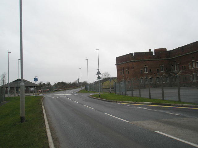 Photo could not load
SU6206 : Roundabout opposite Fort Southwick
Basher Eyre
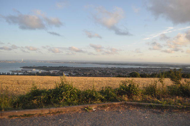 Photo could not load
SU6206 : Portsmouth : View from Portsdown Hill Road
Lewis Clarke
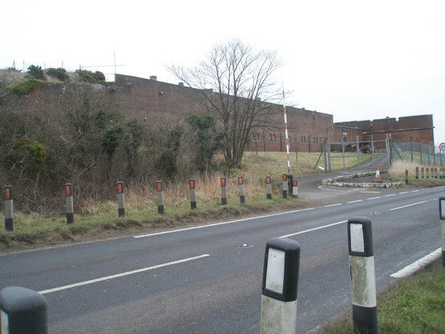 Photo could not load
SU6206 : Fort Southwick on a mild December morning
Basher Eyre
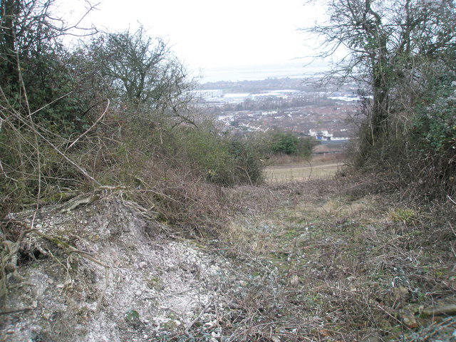 Photo could not load
SU6206 : Track down onto Portchester Common SSSI from James Callaghan Drive
Basher Eyre
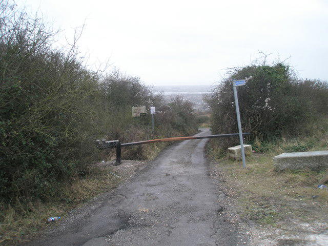 Photo could not load
SU6206 : MOD land on Portsdown Hill
Basher Eyre
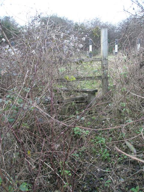 Photo could not load
SU6206 : Stile from Portchester Common SSSI up onto James Callaghan Drive
Basher Eyre
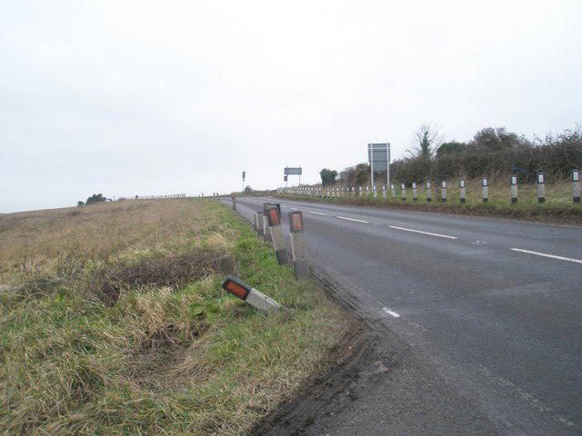 Photo could not load
SU6206 : James Callaghan Drive
Basher Eyre
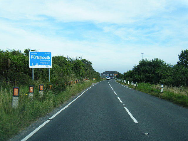 Photo could not load
SU6206 : Portsdown Hill Road at Portsmouth City boundary
Colin Pyle
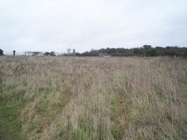 Photo could not load
SU6206 : Looking towards the City Boundary sign atop Portsdown Hill
Basher Eyre
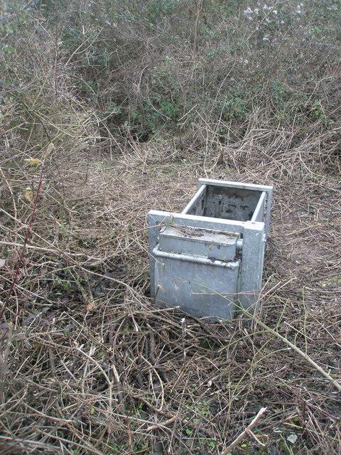
SU6206 : A puzzling find
Basher Eyre
Hill facts and local notes
Classifications
Elevation
125m
410 ft
Prominence
85m
Coordinates
50.8586, -1.1113
SU626069
OS Map
196
Explorer: OL3 119
At the Summit
The summit features a trig point and is crowned with open grassland, perfect for a picnic with a view.
Terrain & Geology
The hill is primarily composed of chalk, part of the South Downs formation, which creates a unique white landscape and supports diverse flora and fauna.
Views & Scenery
From the summit, you can see the iconic Spinnaker Tower in Portsmouth, the Isle of Wight on a clear day, and expansive views over the Solent.
History & Heritage
Name Origin
The name 'Ports Down' is derived from its historical role as a vantage point overlooking the Port of Portsmouth.
Historical Significance
Ports Down has significant military history, with fortifications established during the 19th century to guard Portsmouth.
Getting There & Facilities
Parking
There is a car park at Fort Widley (SU623052), which conveniently allows access to the trails on Ports Down.
Public Transport
The nearest train station is at Portsmouth Harbour, with bus services connecting to nearby areas.
Nearby Facilities
There are few facilities directly on Ports Down, but nearby in Portsmouth, you can find numerous cafes, restaurants, and public toilets.
Safety Information
Known Hazards
- Occasional steep drops on the southern side of the hill; remain on paths to avoid injury.
General Safety Tips
- Check weather conditions before setting out
- Carry appropriate clothing and equipment
- Let someone know your planned route
- Take a map, compass, and GPS device
- Carry emergency supplies: food, water, first aid kit, torch
Hills
Some common questions about the hills answered
Are there group walks up Ports Down?
Many walkers use Walkmates to join or organise walks with others. You can check for group walks around Ports Down through the maps
Are there other walkers around Ports Down?
Activity varies by location and time, but Walkmates lets you see whether others have shared walks or shown interest in this area. Find other people through the walking friends search walking friends for Ports Down search or of course create your own walk for Ports Down
Can I organise a walk to Ports Down?
Yes. If there aren’t any walks listed already, you can create a walk and make it available for others to join.
If you're signed up to Walkmates, you can create a walk to Ports Down.
How do I find a walk up this hill?
There are often multiple ways to walk this hill, depending on experience and route preference. Walkmates helps you explore walks and routes that others have shared.
Can I suggest a new route up Ports Down?
Yes. You can suggest or create routes to share with others. Walkmates focuses on the social side of walking, so routes are used to help people organise walks and explore areas together, rather than as detailed navigation tools or route libraries.
Other uses really appreciate knowledgeable walkers sharing their routes. Share your favourite route to Ports Down here
The is an error or something incorrect about this hill. How do I let you know?
We always strive to keep the information on Walkmates as accurate as possible. If you find an error, please let us know through the contact form and we'll aim to correct it as quickly as possible
Community Discussion
Comments
Location
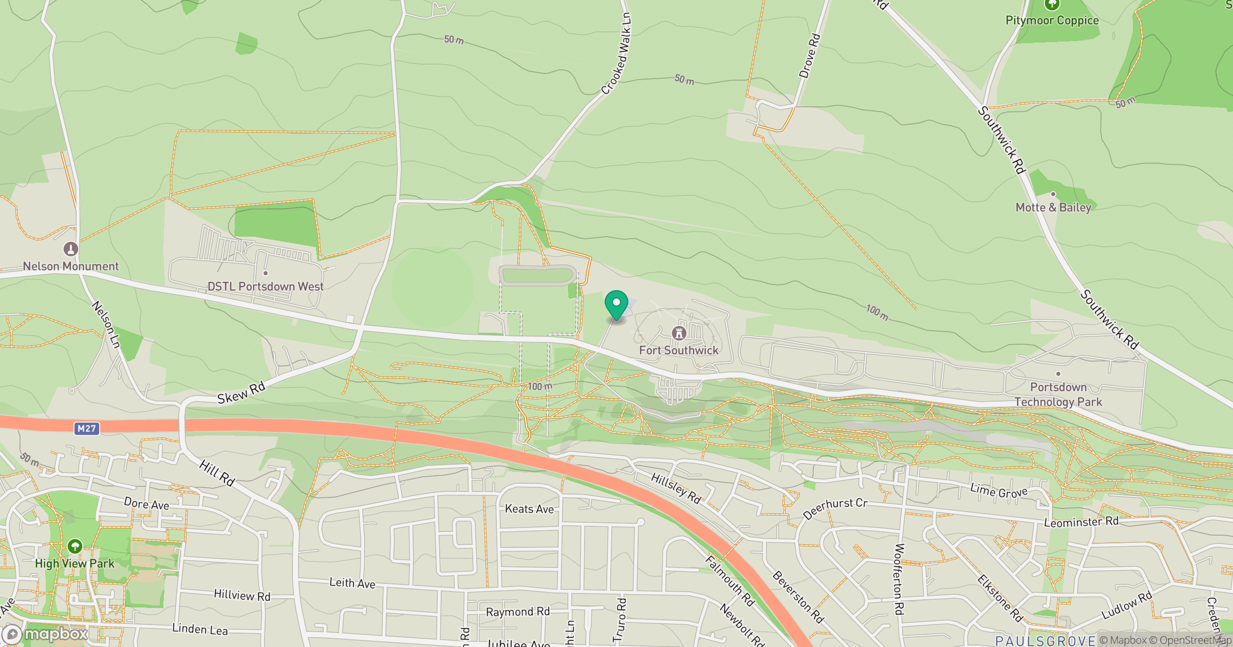
Grid reference: SU626069
View on OpenStreetMapOpens a map in a new tab, centred on the hill.
Nearby Hills
Leith Hill
294m
Ditchling Beacon
248m
Glastonbury Tor
158m
Worcestershire Beacon
425m
Titterstone Clee Hill
533m
No comments yet. Be the first.