![Ports Down (boundary) [Fort Southwick]](https://cdn.walkmates.com/hill-photos/hill-placeholder.jpg)
Countryside
Circular
Easy
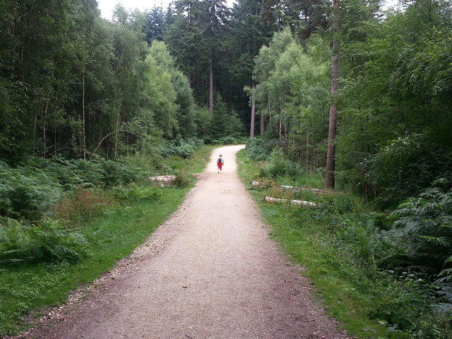
Wilverley Inclosure Walk, New Forest
PaulWalkmates
Walk organiser
![Ports Down (boundary) [Fort Southwick] location map](https://cdn.walkmates.com/hill-maps/ports-down-(boundary)-[fort-southwick].png)
No comments yet. Be the first.