

Wandale Hill
Good walks are even better shared.
Overview
Wandale Hill: A Gem of the North Pennines
Welcome to Wandale Hill, a charming Hewitt in the stunning North Pennines, standing at a respectable 446 meters. With its rocky and grassy terrain, it rewards hikers with splendid views and a touch of local history, all while keeping your legs pleasantly tired.
Geology
Wandale Hill's underlying geology is predominantly sedimentary, primarily composed of sandstone and limestone. This fascinating geology contributes to its rugged charm and provides a teetering landscape that is both fun and challenging.
Routes
Wandale Hill from the B6277
This moderately difficult route spans approximately 3.5 km and can be accomplished in about 1.5 hours. Starting from the B6277, it offers scenic views that gradually reward your effort as you approach the summit. Just remember to keep your eyes peeled for the occasional sheep, who may or may not be judging your hiking skills.
Summit Features
The summit greets you with a small, delightful stone cairn that screams ‘you made it!’ amidst sprawling vistas. Here, you can bask in the satisfaction of your achievement while extracting some great ’gram shots.
Terrain
Expect a mix of rocky and grassy paths, with the odd marshy section that might give your feet a squelchy surprise. Perhaps consider gaiters—they’re great for keeping mud at bay and your spirits high.
Views
The panoramic views from the top are truly captivating. On a clear day, the vast landscape of the North Pennines unfurls around you, with the distant Cheviots providing an exquisite backdrop. Spring and early autumn are your best bets for stunning vistas and vibrant flora.
Hazards
While this hill is not known for treachery, caution is advisable. Slippery paths after rain can make things a bit dicey, and when tackling sections shared with livestock, don’t be afraid to give them a little space—they're likely more interested in grass than your sandwich.
Nearby Summits
Wandale Hill is accompanied by its scenic neighbours, including Fell End Hill and Little Fell, both of which are worth exploring if you’re looking to extend your hike and take in even more breathtaking views.
Access
If you're driving, there’s a small layby on the B6277 ideal for parking. Public transport options are limited, with the closest bus stop in St. John's Chapel, so plan accordingly. The nearest town, St. John's Chapel, offers a small shop and a cosy cafe for refreshments post-hike.
History
Interestingly, the name ‘Wandale’ translates to ‘valley of the wands’ from Old Norse. Its significance stretches back in time as a landmark for local shepherds, serving as part of ancient routes through this remarkable region.
In conclusion, Wandale Hill is more than just a hill; it's an adventure packed with history, striking views, and the occasional sheep encounter. Lace up your hiking boots, grab your walking pole, and get ready for a splendid time in the great outdoors!
Explore routes near Wandale Hill
Public walks starting within 80 km of this hill. Nearby does not mean a route reaches the summit; check its map and access before setting out.
Kendal family night walk and stargaze
View route
Kendal dark skies lighting walk and stargaze
View route
Sizergh: Park End Moss and Brigsteer Park Wood Circuit
View route
Ingleton Waterfalls Walk
View route
Route planning notes
These notes describe possible approaches, not verified navigable routes or permission to cross land. Check current paths, local access rules and conditions before setting out.
Wandale Hill from the B6277
A pleasant walk from the B6277, this route offers scenic views of the surrounding countryside as you ascend.
Make a day of it, together
Find someone to share the walk with, or organise a day out along a route you like.
Photo Gallery
View all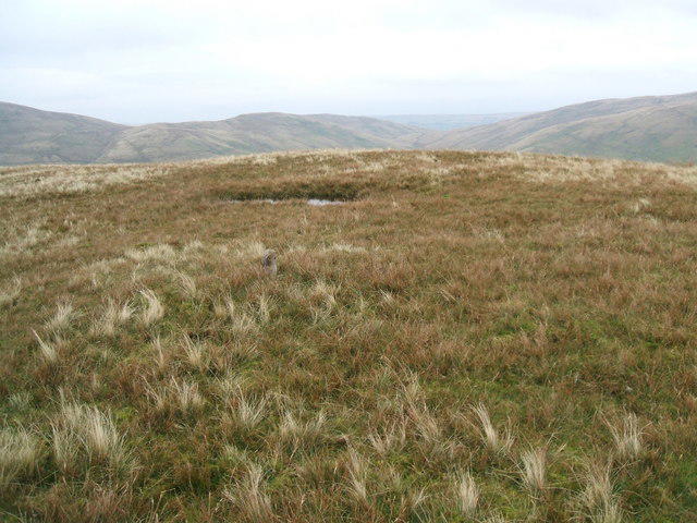 Photo could not load
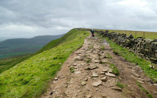
SD7099 : The top of Wandale Hill
David Brown
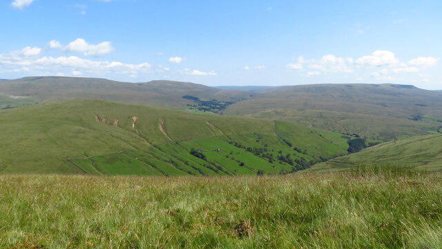 Photo could not load
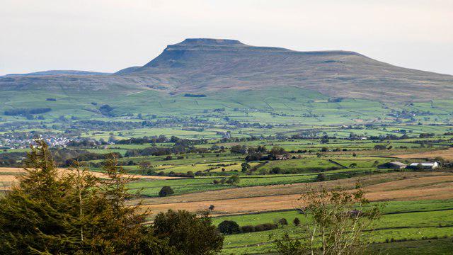
SD7099 : On Kensgriff - view towards Wandale Hill
Colin Park
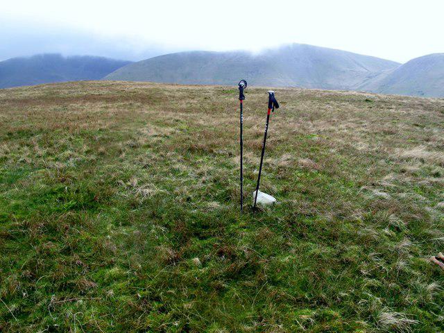 Photo could not load
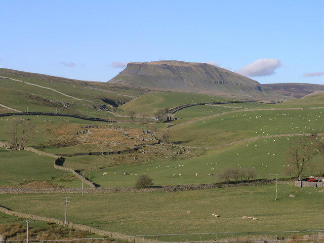
SD7099 : Wandale Hill
Rude Health
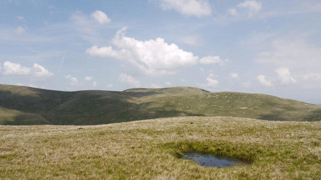 Photo could not load
SD7099 : Summit area of Wandale Hill
Trevor Littlewood
Hill facts and local notes
Classifications
Elevation
497m
1,631 ft
Prominence
112m
Coordinates
54.3858, -2.4551
SD705990
OS Map
98
Explorer: OL19S
At the Summit
The summit features a small stone cairn along with a stunning panoramic view that will have you saying 'wow' and other less eloquent expressions.
Terrain & Geology
Predominantly composed of sedimentary rocks, with notable layers of sandstone and limestone, giving it a rugged charm and great walking terrain.
Views & Scenery
From the summit, you can behold the sprawling vistas of the North Pennines, including glimpses of the distant Cheviots on a clear day.
History & Heritage
Name Origin
The name ‘Wandale’ is derived from Old Norse, roughly translating to ‘valley of the wands’ – no magic required.
Historical Significance
Historically, this hill has been a landmark for local shepherds and serves as part of ancient routes through the Pennines.
Getting There & Facilities
Check current local access restrictions, parking rules and transport timetables before travelling. These notes do not confirm public access to the summit.
Parking
There is a small layby on the B6277 with space for a few cars, but arrive early to secure a spot.
Public Transport
The nearest bus stop is in the village of St. John's Chapel, about 4 km away. Frequent buses are sparse, so check the timetable in advance.
Nearby Facilities
There are no facilities on the hill itself; however, St. John's Chapel has a small shop and a cafe for refreshments.
Safety Information
Known Hazards
- Beware of slippery sections after rainfall and occasional livestock on the paths.
General Safety Tips
- Check weather conditions before setting out
- Carry appropriate clothing and equipment
- Let someone know your planned route
- Take a map, compass, and GPS device
- Carry emergency supplies: food, water, first aid kit, torch
Hills
Some common questions about the hills answered
Are there group walks up Wandale Hill?
Many walkers use Walkmates to join or organise walks with others. You can check for group walks around Wandale Hill through the maps
Are there other walkers around Wandale Hill?
Activity varies by location and time, but Walkmates lets you see whether others have shared walks or shown interest in this area. Find other people through the walking friends search walking friends for Wandale Hill search or of course create your own walk for Wandale Hill
Can I organise a walk to Wandale Hill?
Yes. If there aren’t any walks listed already, you can create a walk and make it available for others to join.
If you're signed up to Walkmates, you can create a walk to Wandale Hill.
How do I find a walk up this hill?
There are often multiple ways to walk this hill, depending on experience and route preference. Walkmates helps you explore walks and routes that others have shared.
Can I suggest a new route up Wandale Hill?
Yes. You can suggest or create routes to share with others. Walkmates focuses on the social side of walking, so routes are used to help people organise walks and explore areas together, rather than as detailed navigation tools or route libraries.
Other uses really appreciate knowledgeable walkers sharing their routes. Share your favourite route to Wandale Hill here
The is an error or something incorrect about this hill. How do I let you know?
We always strive to keep the information on Walkmates as accurate as possible. If you find an error, please let us know through the contact form and we'll aim to correct it as quickly as possible
Community Discussion
Comments
Location
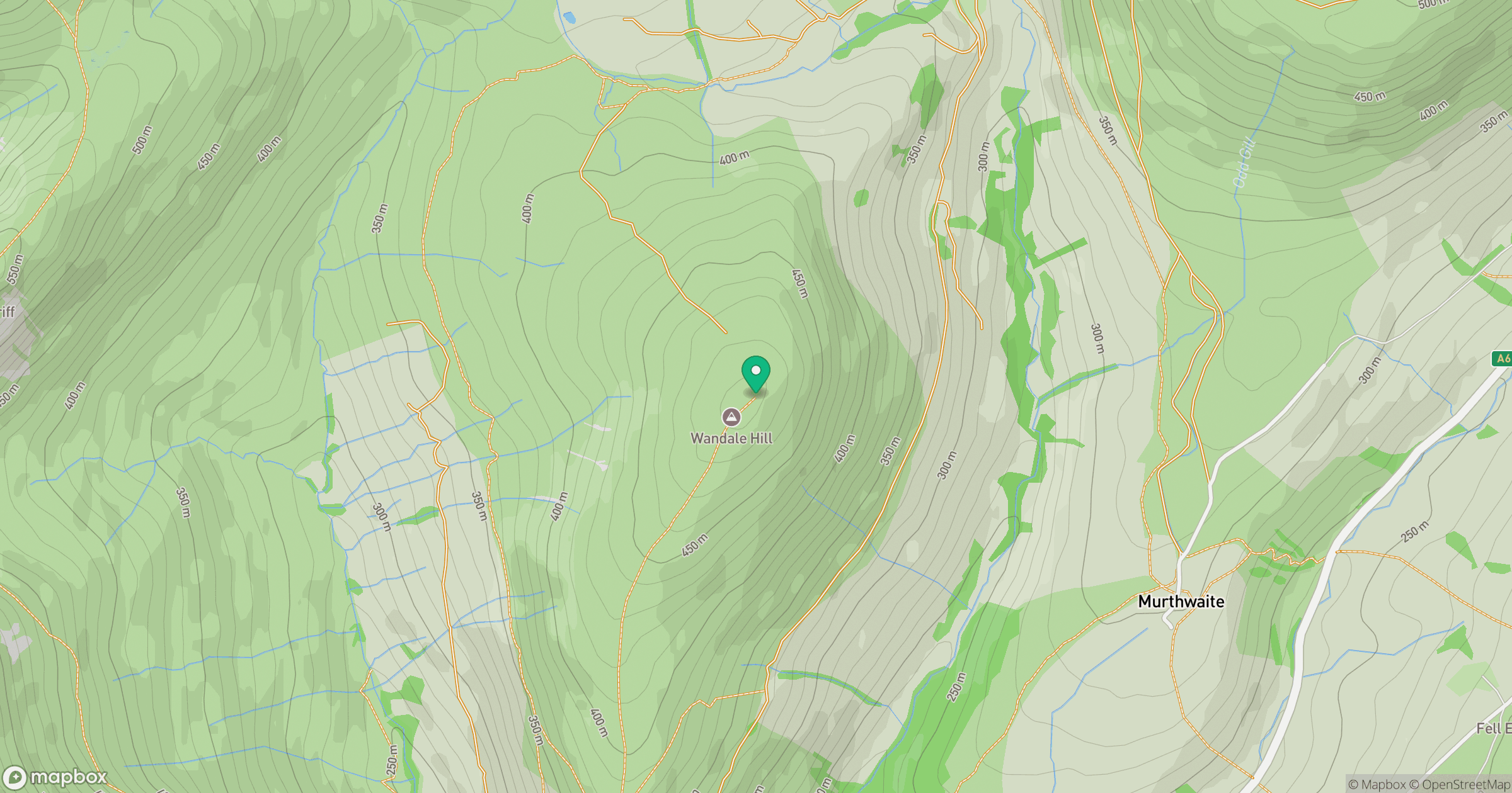
Grid reference: SD705990
View on OpenStreetMapOpens a map in a new tab, centred on the hill.
Hills within 30 km
Straight-line distance, not a walking route or confirmation of access.
No comments yet. Be the first.