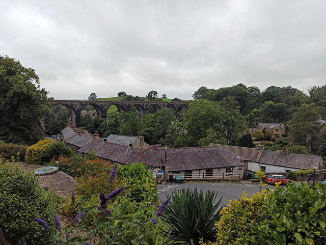
Image shared for Ingleton Waterfalls Walk
Upland / Hill Circular

Ingleton Waterfalls Walk

North Yorkshire

Distance
4.2 mi
Est. time
2h 30m
Difficulty
Medium
PaulWalkmates Route by PaulWalkmates

About this walk

The Ingleton Waterfalls Walk is one of the finest circular walks in the Yorkshire Dales and earns its reputation. This is not a gentle riverside meander. It is a proper day out with height gain, stone steps, woodland paths and some serious water thundering through limestone gorges.

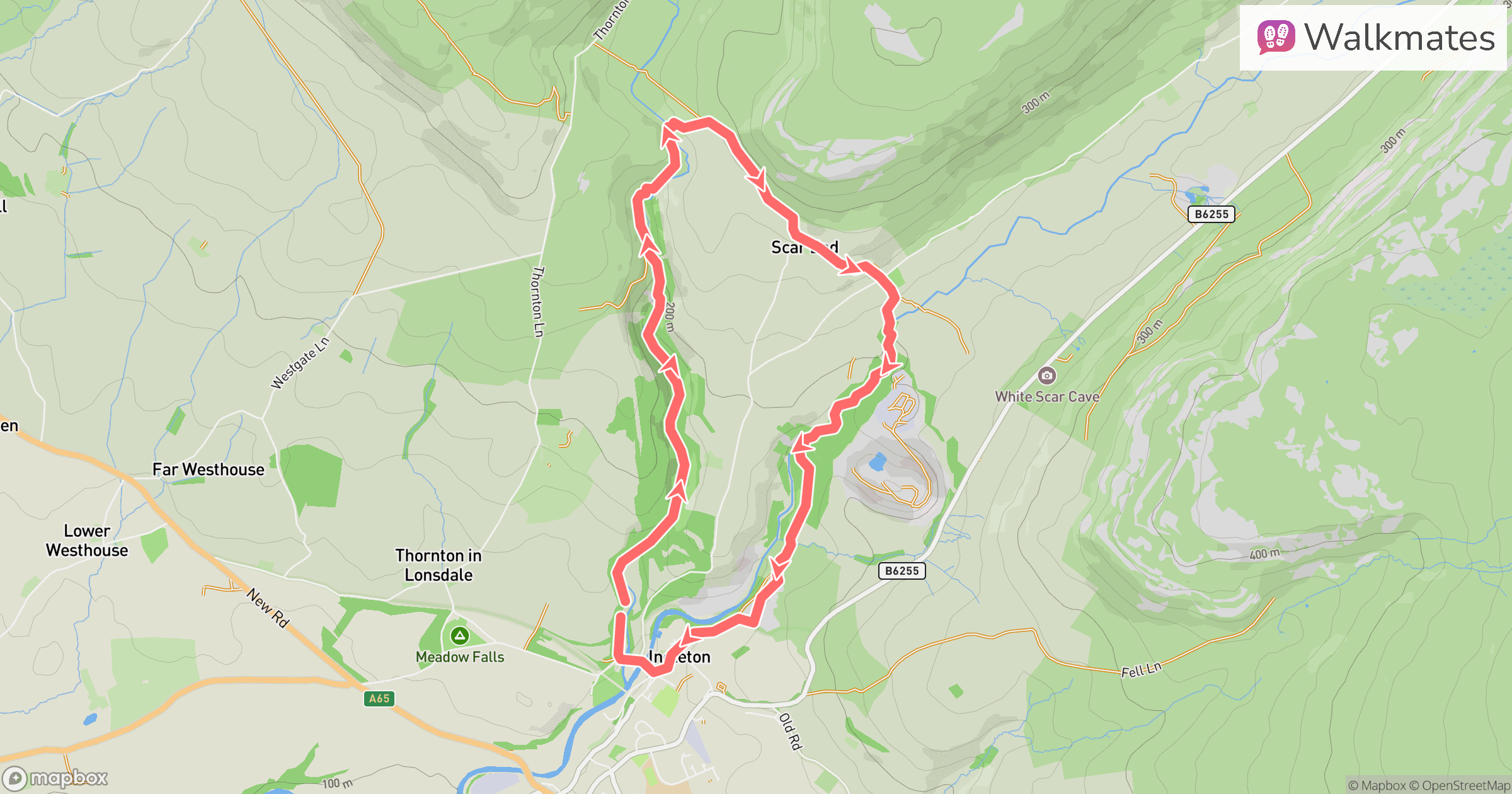
Starting in the village of Ingleton, the route follows a well-marked circular trail of roughly 7.5 miles. You immediately head into woodland alongside the River Twiss before climbing steadily to your first dramatic highlight: Thornton Force, where water crashes over a near-vertical limestone step. From here the path rises above the gorge, offering elevated views back down into the rushing river below.

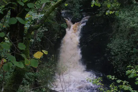
The middle section moves onto more open ground before dropping towards the River Doe, where the landscape tightens again into wooded ravines and stepped waterfalls. Pecca Falls and Hollybush Spout are constant favourites, and the final stretch along the River Doe is arguably the most photogenic part of the whole circuit. Snow Falls, in particular, is impressive after heavy rain.

There are plenty of stone steps throughout, and you will feel the ascent in your legs. Total ascent is around 300 metres, so while it is achievable for most reasonably fit walkers, it is not flat and it is not pushchair friendly. The terrain can be slippery in wet conditions, and sturdy footwear is essential.

Facilities are excellent compared to most Dales walks. There is a main car park in Ingleton, cafés in the village, and the trail itself is maintained and waymarked. There is usually a small entrance fee which contributes to upkeep of the paths and bridges.

This walk works in most seasons. After rain the waterfalls are at their most dramatic, though the paths can be muddy. In autumn the woodland turns golden, and in winter the quieter atmosphere gives the place a wilder feel.

If you want a classic Yorkshire Dales waterfall experience with variety, drama and enough ascent to feel earned, Ingleton Waterfalls delivers every time.

Walk details

Main location
Ingleton
Nearby town
Ingleton
Walk type
Circular
Category
Upland / Hill
Distance
4.2 mi (6.8 km)
Est. time
2h 30m
Explorer
Yes, off the beaten track

Route map

Use the route details to plan your walk

If the map image does not load, the route description and starting-point details are still on this page.

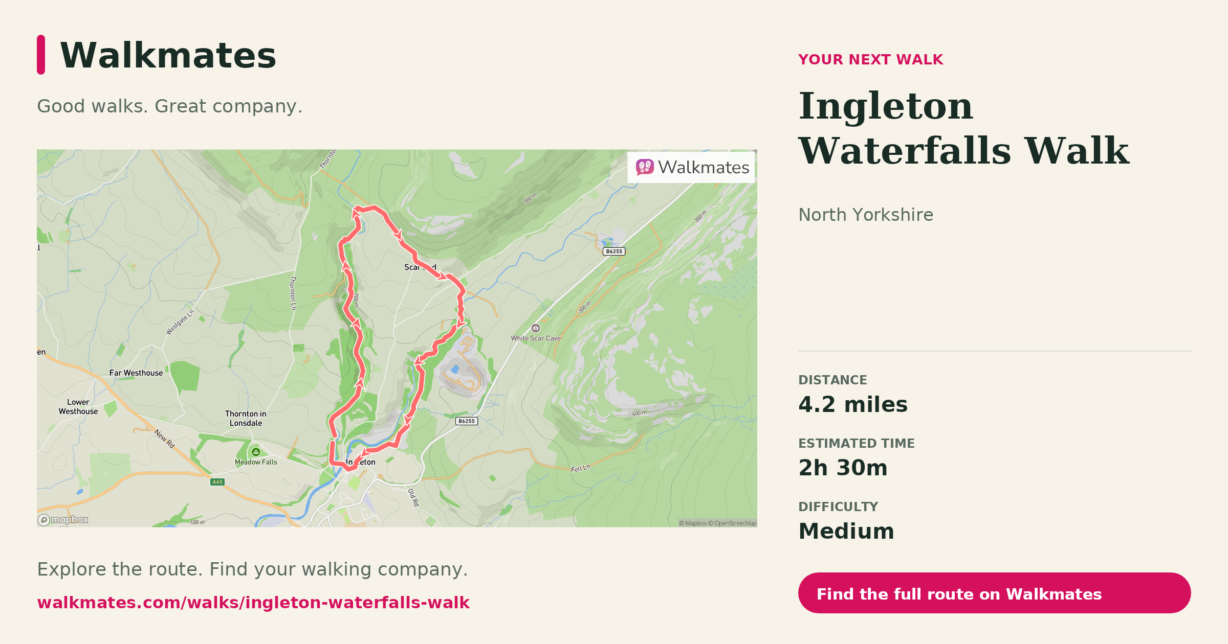
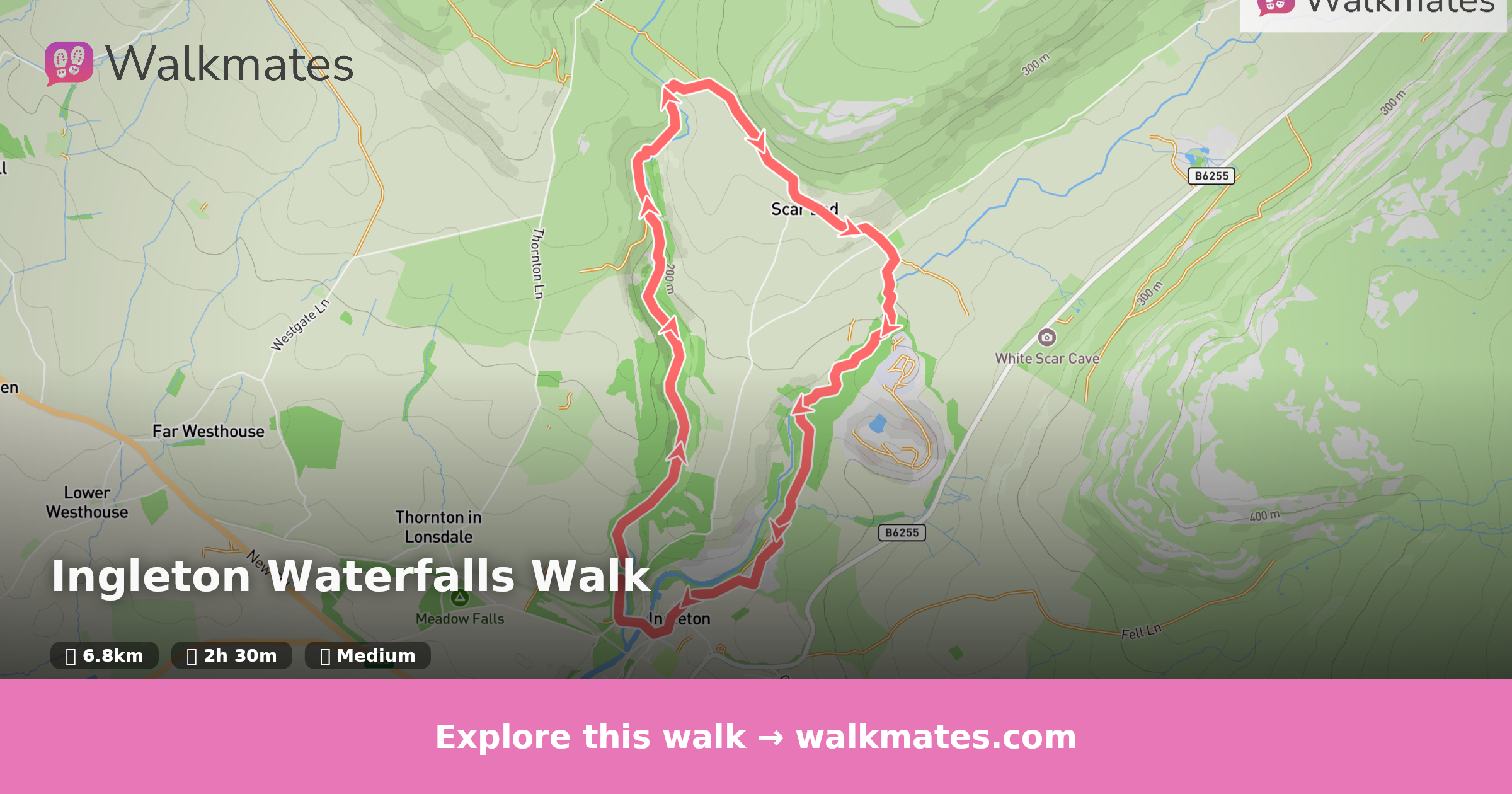
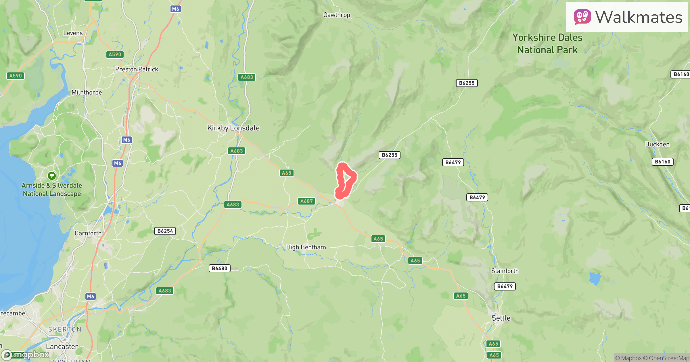
Route map for Ingleton Waterfalls Walk

The interactive map will load when you reach this section.

Where to start

Directions to start

Walking on your own?

Start when you're ready and add the walk to your history. No group date needed.

Save the route

This walk is waiting for a date

Not ready to pick a date? Follow it and you'll hear when somebody else does.

No commitment. You can follow it now and pick a date later.

Along the route

37 places
Information
Navigation · 0.0 mi along
Ingleton Waterfalls Trail
Information · 0.1 mi along
Oak
Information · 0.5 mi along
Pecca Falls Viewing Area
Viewpoint · 0.9 mi along
Pecca Falls
Waterfall · 1.0 mi along
Viewpoint
Navigation · 1.0 mi along
Cafe
Food and drink · 1.1 mi along
Hollybush Spout
Waterfall · 1.1 mi along
Thornton Force
Information · 1.3 mi along
Thornton Force
Waterfall · 1.3 mi along
Swaledale Tup
Information · 1.4 mi along
Wind Turbines
Information · 1.7 mi along
Ingleborough
Information · 2.4 mi along
Toilets
Essentials · 2.4 mi along
The Falls Refreshment Centre
Cafe · 2.5 mi along
Guidepost
Navigation · 2.5 mi along
Beezley Falls
Waterfall · 2.5 mi along
Triple Spout
Waterfall · 2.6 mi along
Rival Fall
Waterfall · 2.6 mi along
Acorns
Information · 2.7 mi along
Baxenghyll Gorge
Viewpoint · 2.7 mi along
Snow Falls
Waterfall · 2.8 mi along
Grey Squirrels
Information · 2.9 mi along
Ingleton Village
Information · 3.7 mi along
Guidepost
Navigation · 3.8 mi along
Parking
Essentials · 3.8 mi along
The Village Kitchen
Cafe · 3.9 mi along
Everyday Essentials
Shop · 3.9 mi along
Cafe
Food and drink · 3.9 mi along
La Tavernetta
Restaurant · 3.9 mi along
Co-op Food
Shop · 3.9 mi along
Drinking Water
Essentials · 3.9 mi along
Information
Navigation · 3.9 mi along
Guidepost
Navigation · 4.0 mi along
Toilets
Essentials · 4.1 mi along
Ingleton Falls Information
Information · 4.1 mi along
Broadwood Car Park
Parking · 4.2 mi along

Joining a walk

A few things to know before you make plans.

Can I join if no one else is going?

You can be the first to join a scheduled walk. A suggested date is an idea for a group walk; choose Set this date up to organise it. Check the participant list and meeting details before setting off.

What if there is no date yet?

Choose Put a date on this walk to organise a group walk. Not ready to choose a day? Follow the route for scheduling updates, or save it for later.

What does the organiser do?

The organiser sets the date and meeting details and helps the group get started. They are a fellow walker and may be new to the route too.

Each walker is responsible for their own safety and navigation. Check the route, weather, equipment and whether the walk suits your experience and fitness.

Can I walk this route on my own?

Yes. Choose Walk this route on your own to open the start screen, then start when you are ready. Finish the walk to add it to your walking history. You do not need a group date.

What happens after I join?

Use the walk page to check meeting details, updates and who is going. Check in from 24 hours before the start to let the group know you still plan to come.

How do I confirm plans with the group?

Check the participant list and check-ins, and message the organiser or other walkers to confirm where to meet and who is coming. This is especially useful when the group is small.