
Yarlside
Good walks are even better shared.
Overview
Yarlside: The Friendly Giant of the Lake District
Introduction
Yarlside, standing proud at 590 meters, might not be the tallest in the Lake District, but it holds its own with character and breathtaking views. It’s a Marilyn, which might sound like a pop star from the 60s but actually denotes its prominence within the landscape. Whether you’re a novice or a seasoned walker, this hill offers a perfect day out.
Geology
Residing in the heart of the Lake District, Yarlside is primarily made of slate and shales, reminding us of the ancient geological processes that shaped this beautiful land. The rock formations tell a story as old as time itself—just like your grandfather's fishing tales!
Routes
Yarlside is accessible via several routes. The most popular is the trail from Sedbergh, which spans roughly 8 km and takes around 3.5 hours to ascend. This route meanders through lush greenery and offers plenty of opportunities for those ‘I-wish-I-contained-this-beautiful-scenery’ selfies.
For the more adventurous souls, the Howgills route is about 12.5 km and will take you approximately 5 hours. The views are magnificent, but remember to bring your sense of humor as well, it may get a little tricky!
Summit Features
Once you reach the summit, you’re greeted by a sturdy cairn and a trig point. They serve as the perfect backdrop for those post-hike celebratory snacks—or the occasional celebratory dance.
Terrain
Expect varied terrain, transitioning from grassy slopes to rocky outcrops. Remember: if you hear the rocks grumbling, it’s not the mountain talking back—just your knees.
Views
The summit provides sweeping vistas across the Howgills and beyond, with Morecambe Bay sparkling in the distance on a sunny day. Perfect for the sunset chasers and photographers out there! Late spring through early autumn is when you’ll want to strap on your gear.
Hazards
As with all adventures, it’s vital to remain vigilant. Slippery rocks can be a bit cheeky, especially after a downpour, and some areas may feel like you’re wading through a sponge garden due to bogginess.
Access and Facilities
Sedbergh is the nearest town and offers ample parking near the trailhead, alongside a lovely array of cafes to fuel your journey. Local buses can whisk you away from Kendal straight to Sedbergh. Facilities in town include toilets and shops, so you won’t find yourself in a sticky situation.
History
The name 'Yarlside' hints at its historical roots in Old Norse, suggesting an esteemed stature among ancients. It retains significance in the local lore, adding layers to its appeal as not just a climb but a journey through time.
In conclusion, Yarlside is more than just a peak; it’s an experience waiting to unfold amidst stunning landscapes, rich history, and a sprinkle of adventure. So pack your bags, lace up those boots, and let this friendly giant welcome you!
Explore routes near Yarlside
Walks starting near this hill. Open a route to check its map, distance and full itinerary.
Sizergh: Park End Moss and Brigsteer Park Wood Circuit
View route
Ingleton Waterfalls Walk
View route
Pen-y-ghent from Horton in Ribblesdale
View route
Yorkshire Three Peaks Challenge – Gentle Pace
View route
Route planning notes
These notes describe possible approaches. Check a route's map and access information when planning your walk.
Yarlside from Sedbergh
A scenic route beginning at Sedbergh that traverses through grassy slopes and rocky patches, providing a gentle ascent to the summit.
Yarlside via The Howgills
A more challenging route that offers spectacular views and a slightly steeper ascent through the Howgill Fells.
Make a day of it, together
Find someone to share the walk with, or organise a day out along a route you like.
Hill facts and local notes
Classifications
Elevation
639m
2,097 ft
Prominence
209m
Coordinates
54.3813, -2.4854
SD685985
OS Map
98
Explorer: OL19S
At the Summit
The summit has a large stone cairn and provides a trig point for hikers to take in the panoramic views.
Terrain & Geology
Yarlside is predominantly composed of slate and shales with some rocky outcrops, showcasing typical Lake District geology. Its rugged terrain provides a stunning glimpse into the geological history of the area, formed during the Ordovician period.
Views & Scenery
From the summit, one can admire the sprawling Howgills and the commanding views of the surrounding fells, including Winder and Arant Haw. On a clear day, you might even catch a glimpse of Morecambe Bay.
History & Heritage
Name Origin
The name 'Yarlside' derives from Old Norse, with 'Yarl' meaning chief and 'side' translating to slope, suggesting that this area was significant to ancient settlers.
Historical Significance
Part of the historic Yorkshire Dales, Yarlside has long been a favourite amongst walkers and has cultural connections to the local community, being a prominent feature in the landscape.
Getting There & Facilities
Parking
Parking is available at Sedbergh, with a small fee for the day. The parking area is located near the start of the trails leading to Yarlside.
Public Transport
Sedbergh is accessible via local bus services from Kendal. The bus stop is a short walk from the town centre.
Nearby Facilities
Sedbergh has several cafes and shops for refreshments, as well as toilet facilities available in public areas.
Safety Information
Known Hazards
- Watch out for slippery rocks, especially after rain. The terrain can also become boggy in certain areas.
General Safety Tips
- Check weather conditions before setting out
- Carry appropriate clothing and equipment
- Let someone know your planned route
- Take a map, compass, and GPS device
- Carry emergency supplies: food, water, first aid kit, torch
Hills
Some common questions about the hills answered
Are there group walks up Yarlside?
Many walkers use Walkmates to join or organise walks with others. You can check for group walks around Yarlside through the maps
Are there other walkers around Yarlside?
Activity varies by location and time, but Walkmates lets you see whether others have shared walks or shown interest in this area. Find other people through the walking friends search walking friends for Yarlside search or of course create your own walk for Yarlside
Can I organise a walk to Yarlside?
Yes. If there aren’t any walks listed already, you can create a walk and make it available for others to join.
If you're signed up to Walkmates, you can create a walk to Yarlside.
How do I find a walk up this hill?
There are often multiple ways to walk this hill, depending on experience and route preference. Walkmates helps you explore walks and routes that others have shared.
Can I suggest a new route up Yarlside?
Yes. You can suggest or create routes to share with others. Walkmates focuses on the social side of walking, so routes are used to help people organise walks and explore areas together, rather than as detailed navigation tools or route libraries.
Other uses really appreciate knowledgeable walkers sharing their routes. Share your favourite route to Yarlside here
The is an error or something incorrect about this hill. How do I let you know?
We always strive to keep the information on Walkmates as accurate as possible. If you find an error, please let us know through the contact form and we'll aim to correct it as quickly as possible
Community Discussion
Comments
Location
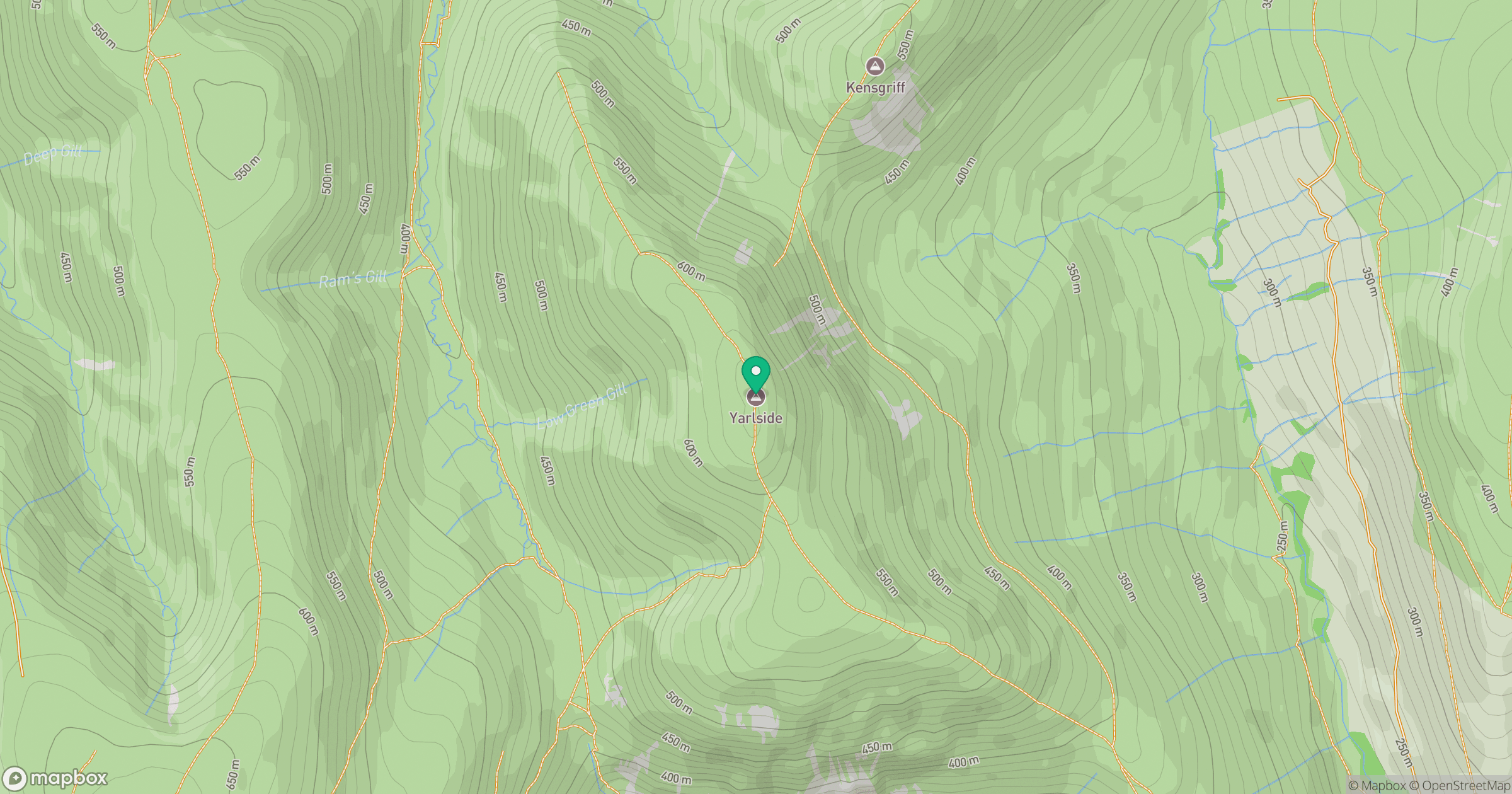
Grid reference: SD685985
View on OpenStreetMapOpens a map in a new tab, centred on the hill.



No comments yet. Be the first.