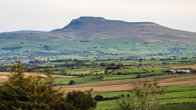
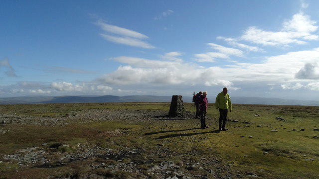
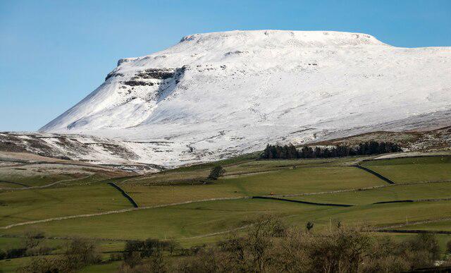
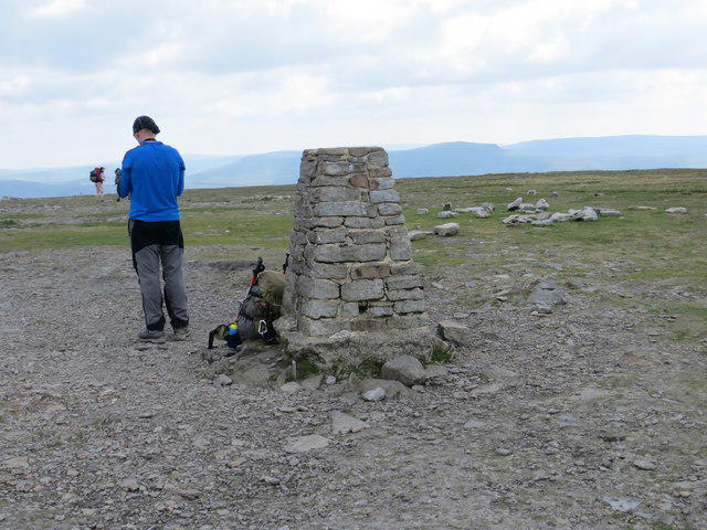
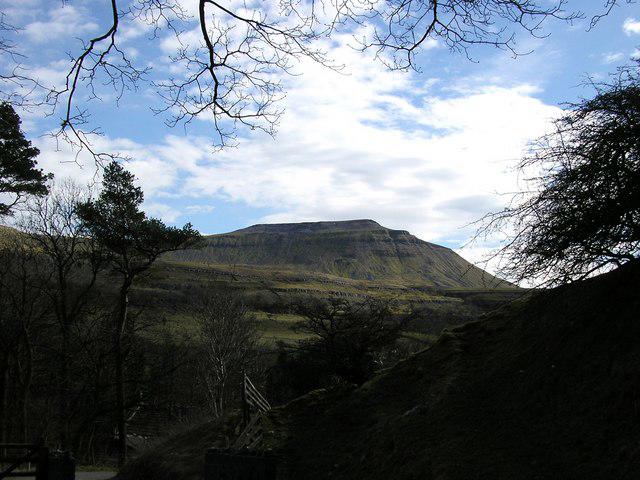
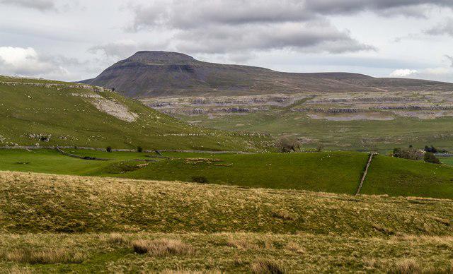
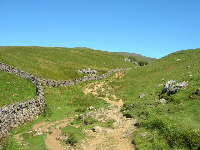
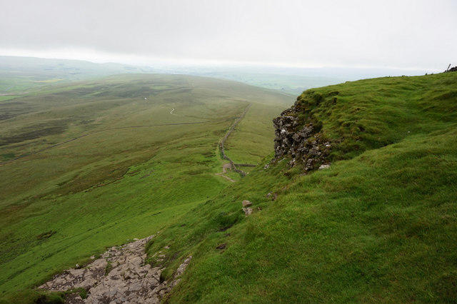
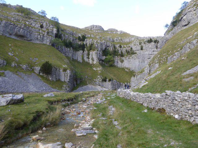
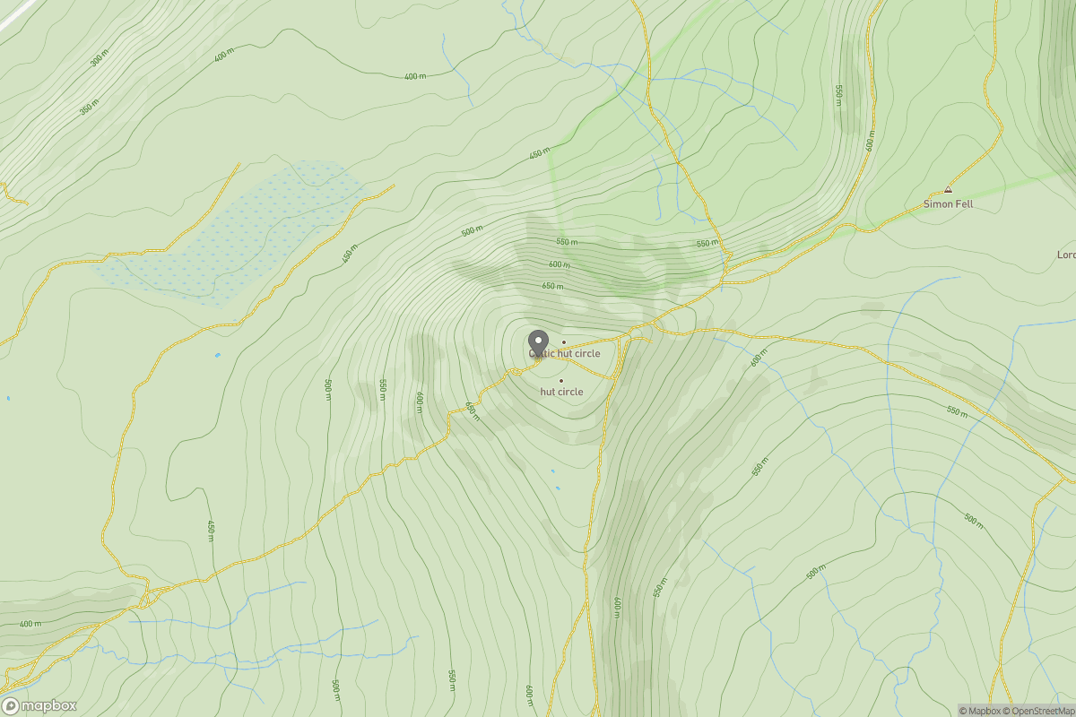
Upland / Hill
Circular
Medium
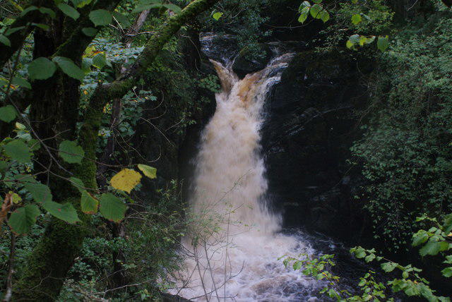
Ingleton Waterfalls Walk
PaulWalkmates
Walk organiser
No comments yet. Be the first.