
Nettle Hill
Good walks are even better shared.
Overview
Nettle Hill: A Hidden Gem in the Shropshire Hills
Nettle Hill, standing at an elevation of 135 meters, is a splendid example of the natural beauty that the Shropshire Hills have to offer. Elegantly perched in the heart of this Area of Outstanding Natural Beauty, it provides an accessible escape for walkers of all abilities.
Geology
Nettle Hill is primarily comprised of ancient volcanic rock, a remnant of the region's tumultuous geological past. The hill's rugged terrains tell tales of fiery eruptions and the relentless forces of nature that have shaped this landscape over millennia.
Routes
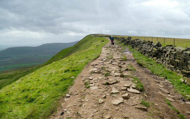
The most popular route is the Nettle Hill Circular Walk, which starts in the quaint village of Romsley. This moderate hike spans approximately 7.5 kilometers and is ideal for a leisurely afternoon stroll. Expect to encounter mixed terrain, including grassy slopes and rocky outcrops, so sturdy footwear is recommended. Don’t forget to take a breather at the top – you’ll definitely want to show off your trig point selfie!
Summit Features
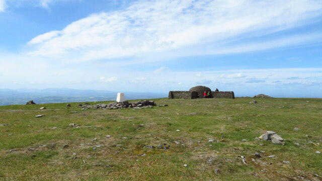
At the summit, hikers are greeted by a robust trig point that stands as a testament to the hill’s elevation. It’s a beloved spot for hikers looking to snap that Instagram-worthy shot against a backdrop of breathtaking scenery. Just watch out for the nettles before you sit down – they live up to their name!
Terrain Type
The terrain varies significantly, giving you a little bit of everything: from lush, grassy patches to rocky outcrops, with a few boggy areas that might challenge you a tad. It’s like nature’s version of a mixed bag of sweets – some are easy to digest, while others might pack a little more punch!
Views
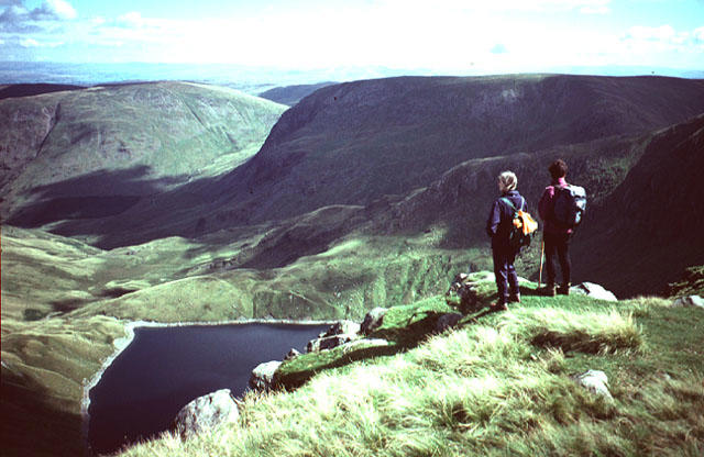
From the peak, the view is simply glorious. On a clear day, you can feast your eyes on distant landmarks such as the Long Mynd and Stiperstones. Spring and autumn are particularly enchanting, as vibrant colours unfold across the landscape.
Hazards
As with many hills, be mindful of changing weather conditions. Just when you’re enjoying the sunshine, a cloud can roll in faster than a flock of sheep during shearing time!
Nearby Summits
For the more ambitious, consider exploring nearby peaks such as Long Mynd and Stiperstones, both offering stunning landscapes and a touch more challenge.
Access
Getting to Nettle Hill is straightforward. There’s parking available in Romsley, with local transport options making it easily accessible from Church Stretton. Plenty of cafes and pubs in the area ensure that you can refuel after your adventure.
History
The name 'Nettle Hill' likely refers to the plants that thrive in the region, so proceed with caution if you venture off the beaten path. Historically, it has served as a popular retreat for locals and visitors alike, embodying the spirit of exploration.
In conclusion, whether you’re a seasoned hiker or just looking for a lovely spot to stretch your legs, Nettle Hill welcomes everyone with open arms. Just be sure to keep an eye out for those cheeky nettles!
Happy hiking!
Explore routes near Nettle Hill
Public walks starting within 80 km of this hill. Nearby does not mean a route reaches the summit; check its map and access before setting out.
Kendal family night walk and stargaze
View route
Kendal dark skies lighting walk and stargaze
View route
Sizergh: Park End Moss and Brigsteer Park Wood Circuit
View route
Long Meg and Lacy's Caves
View route
Route planning notes
These notes describe possible approaches, not verified navigable routes or permission to cross land. Check current paths, local access rules and conditions before setting out.
Nettle Hill Circular Walk
A pleasant circular route starting from the village of Romsley, offering a variety of terrains and scenic views.
Make a day of it, together
Find someone to share the walk with, or organise a day out along a route you like.
Hill facts and local notes
Classifications
Elevation
383m
1,255 ft
Prominence
129m
Coordinates
54.4633, -2.4415
NY714076
OS Map
91
Explorer: OL19S
At the Summit
The summit features a distinct trig point which makes for a perfect photo opportunity, especially if you want to show off to your friends that you actually did something active this weekend.
Terrain & Geology
Primarily composed of volcanic rock, Nettle Hill showcases fascinating geological features, indicative of the region's ancient volcanic activity.
Views & Scenery
From the summit, you can enjoy panoramic views of the Shropshire Hills, including the distant Long Mynd and Stiperstones.
History & Heritage
Name Origin
The name 'Nettle Hill' likely derives from the abundance of nettles found in the area, so be careful where you sit.
Historical Significance
The hill has been a well-loved spot in the region for centuries, often frequented by locals seeking adventure and solitude.
Getting There & Facilities
Check current local access restrictions, parking rules and transport timetables before travelling. These notes do not confirm public access to the summit.
Parking
There is parking available in the village of Romsley, where you can find spaces near the local pub.
Public Transport
The nearest bus stop is located in Romsley, serviced by local routes from Shrewsbury.
Nearby Facilities
There are several cafes and pubs in Romsley, providing refreshments and restrooms for your convenience.
Safety Information
Known Hazards
- Watch out for sudden weather changes, as conditions can turn quicker than you can say 'bloody typical'.
General Safety Tips
- Check weather conditions before setting out
- Carry appropriate clothing and equipment
- Let someone know your planned route
- Take a map, compass, and GPS device
- Carry emergency supplies: food, water, first aid kit, torch
Hills
Some common questions about the hills answered
Are there group walks up Nettle Hill?
Many walkers use Walkmates to join or organise walks with others. You can check for group walks around Nettle Hill through the maps
Are there other walkers around Nettle Hill?
Activity varies by location and time, but Walkmates lets you see whether others have shared walks or shown interest in this area. Find other people through the walking friends search walking friends for Nettle Hill search or of course create your own walk for Nettle Hill
Can I organise a walk to Nettle Hill?
Yes. If there aren’t any walks listed already, you can create a walk and make it available for others to join.
If you're signed up to Walkmates, you can create a walk to Nettle Hill.
How do I find a walk up this hill?
There are often multiple ways to walk this hill, depending on experience and route preference. Walkmates helps you explore walks and routes that others have shared.
Can I suggest a new route up Nettle Hill?
Yes. You can suggest or create routes to share with others. Walkmates focuses on the social side of walking, so routes are used to help people organise walks and explore areas together, rather than as detailed navigation tools or route libraries.
Other uses really appreciate knowledgeable walkers sharing their routes. Share your favourite route to Nettle Hill here
The is an error or something incorrect about this hill. How do I let you know?
We always strive to keep the information on Walkmates as accurate as possible. If you find an error, please let us know through the contact form and we'll aim to correct it as quickly as possible
Community Discussion
Comments
Location
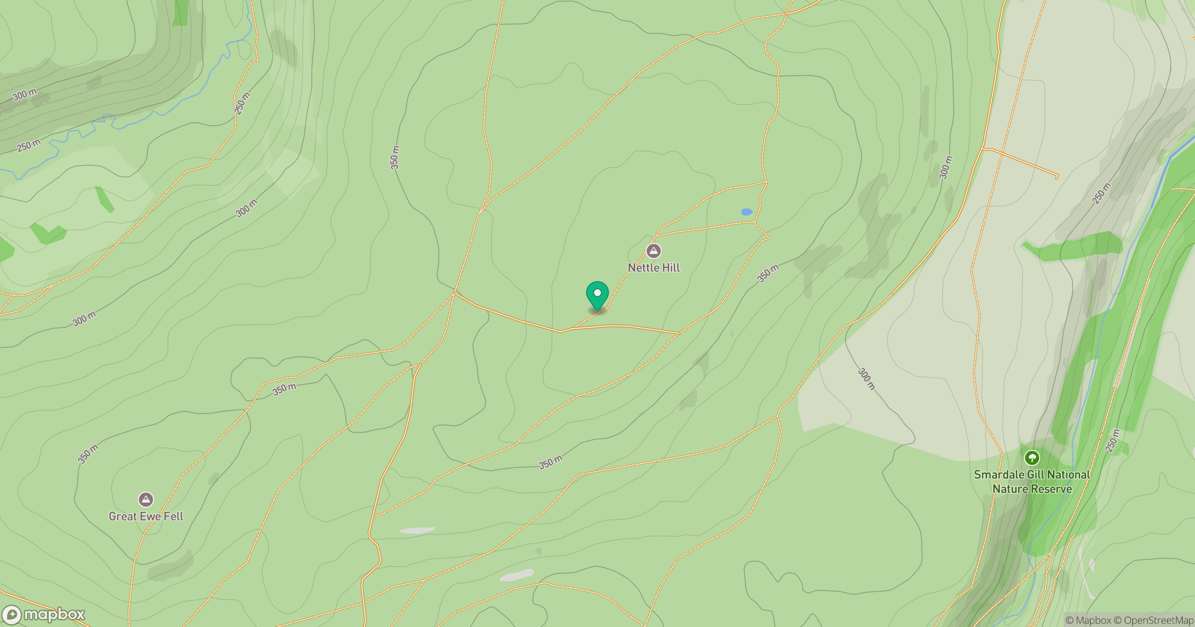
Grid reference: NY714076
View on OpenStreetMapOpens a map in a new tab, centred on the hill.
Hills within 30 km
Straight-line distance, not a walking route or confirmation of access.
No comments yet. Be the first.