Upland / Hill
Circular
Hard
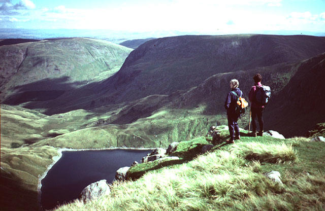
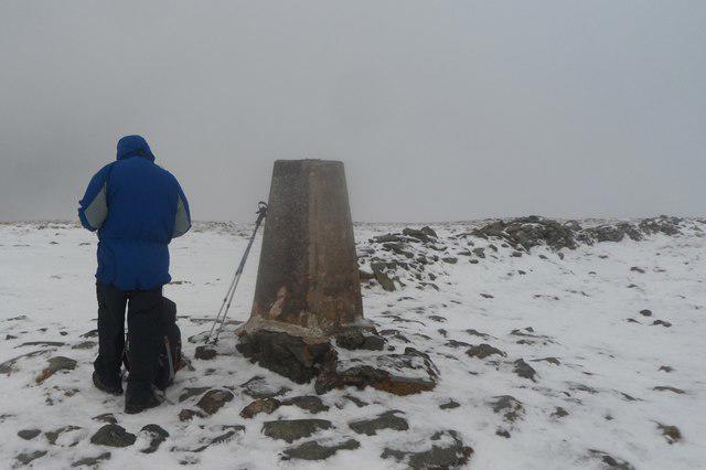
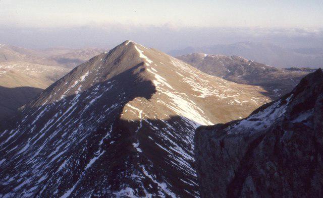
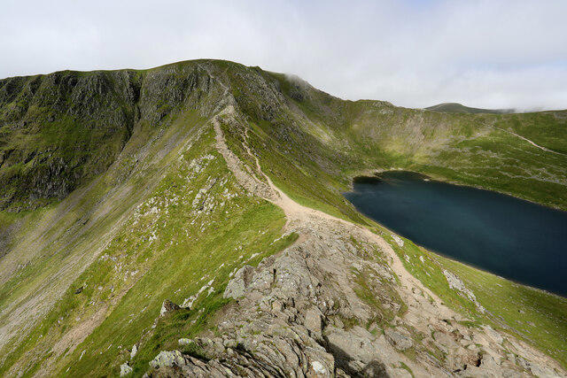
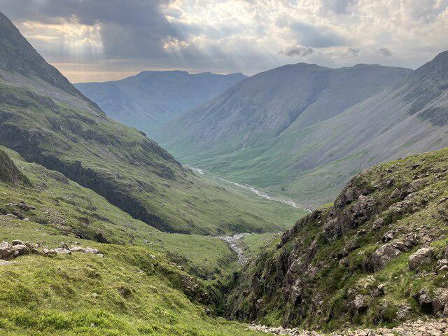
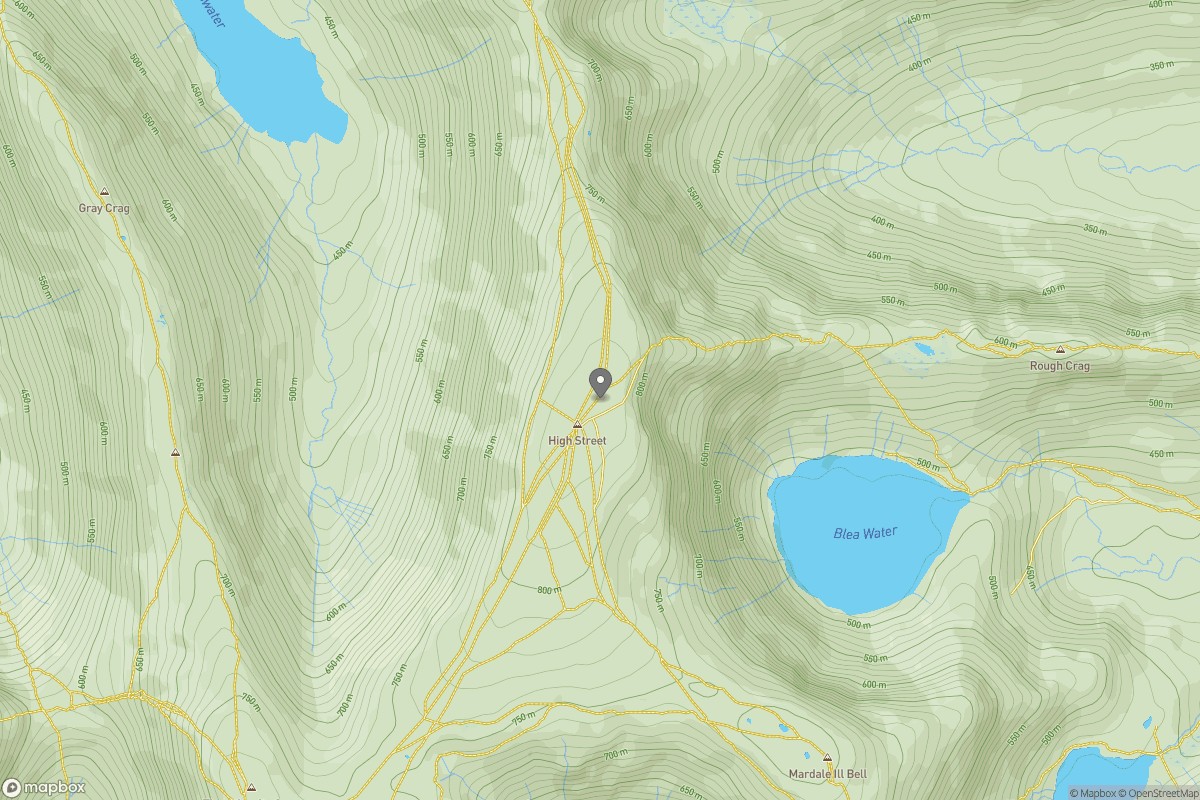
Striding Edge, Helvellyn and Catstye Cam
PaulWalkmates
Walk organiser
No comments yet. Be the first.