
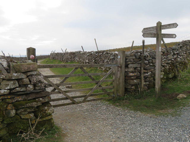
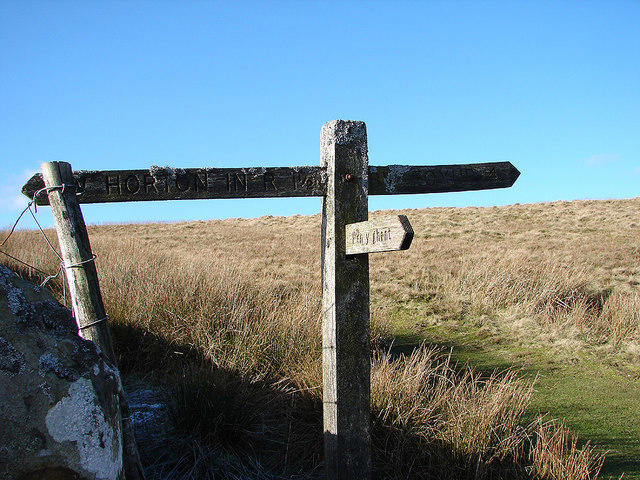
Pen-y-ghent from Horton in Ribbonsdale
- Distance
- 6.3 mi
- Est. time
- 3h 50m
- Difficulty
- Hard
About this walk
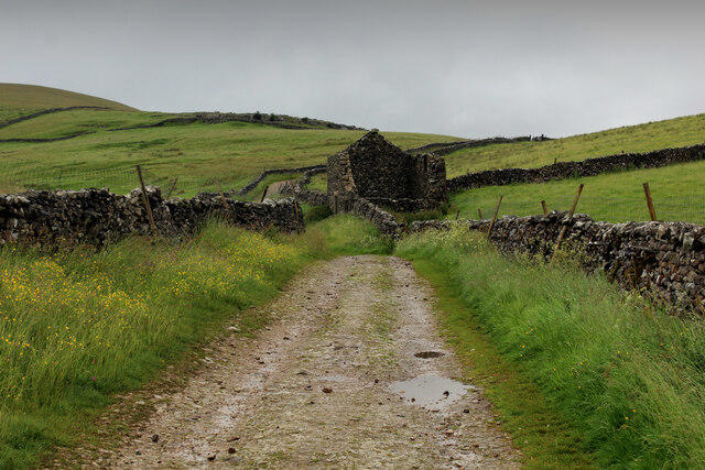
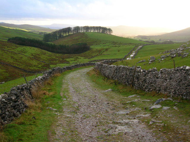
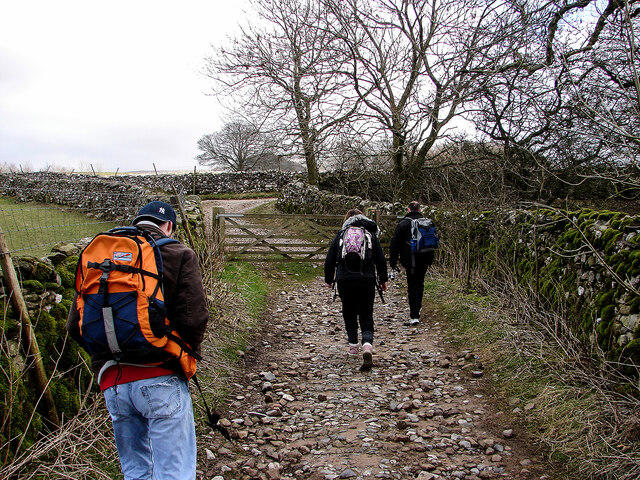
Setting out from the little limestone village of Horton in Ribblesdale, this 10.15 km (6.3 mile) circuit around Pen‑y‑ghent calls for roughly three and a half hours of firm-legged walking and about 480 m of ascent. From the station car park, you’ll follow the old railway embankment across the Ribble to begin a gentle climb up Brackenbottom Scar, with hints of potholes and dripping limestone beckoning on your left. As the gradient eases, the moorland opens up beneath sweeping skies, and you’ll join the Pennine Way’s well‑trodden stone flags as they carry you toward Hunt Pot and the lip of the slope that guards Pen‑y‑ghent’s lower flank.
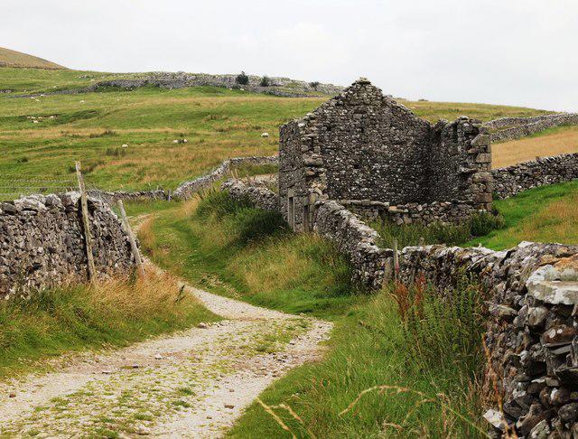
The ascent to the summit is a classic pilgrimage, hewn into the hillside by generations of boot‑heels, and it rewards you at 694 m with a panorama that sweeps from the Ribblehead viaduct to the distant Howgills. When you’re ready to descend, follow the ridge north‑west past High Hull Cave, then drop onto the broad terraces of Horton Moor, where the path skirts sink‑holes and shake holes before swinging back down across pasture to the village. Underfoot you’ll find a mix of mud, stone and short turf, so sturdy boots and a waterproof jacket are wise companions. Take your time at the top, savour the wind‑carved contours of “the hill of winds,” then let gravity and well‑placed waymarkers guide you home.
Walk details
- County
- North Yorkshire
- Main location
- Pen-y-ghent
- Hill
- Pen-y-ghent
- Nearby towns
- Brackenbottom , Horton in Ribblesdale
- Walk type
- Circular
- Category
- Upland / Hill
- Distance
- 6.3 mi (10.1 km)
- Est. time
- 3h 50m
- Explorer
- Yes, off the beaten track
Route map
Use the route details to plan your walk
If the map image does not load, the route description and starting-point details are still on this page.
The interactive map will load when you reach this section.
Walking on your own?
Start when you're ready and add the walk to your history. No group date needed.
Photos
View all 51 →This walk is waiting for a date
Not ready to pick a date? Follow it and you'll hear when somebody else does.
No commitment. You can follow it now and pick a date later.
Along the route
16 placesMore walks nearby
Other routes starting close to this one
Ingleton Waterfalls Walk
Malham Landscape Trail: Janet's Foss, Gordale Scar, and Malham Cove
Skipton to Gargrave Canal Walk
Explore more: More walks in Brackenbottom Walks in North Yorkshire
Joining a walk
A few things to know before you make plans.
Can I join if no one else is going?
You can be the first to join a scheduled walk. A suggested date is an idea for a group walk; choose Set this date up to organise it. Check the participant list and meeting details before setting off.
What if there is no date yet?
Choose Put a date on this walk to organise a group walk. Not ready to choose a day? Follow the route for scheduling updates, or save it for later.
What does the organiser do?
The organiser sets the date and meeting details and helps the group get started. They are a fellow walker and may be new to the route too.
Each walker is responsible for their own safety and navigation. Check the route, weather, equipment and whether the walk suits your experience and fitness.
Can I walk this route on my own?
Yes. Choose Walk this route on your own to open the start screen, then start when you are ready. Finish the walk to add it to your walking history. You do not need a group date.
What happens after I join?
Use the walk page to check meeting details, updates and who is going. Check in from 24 hours before the start to let the group know you still plan to come.
How do I confirm plans with the group?
Check the participant list and check-ins, and message the organiser or other walkers to confirm where to meet and who is coming. This is especially useful when the group is small.
