

Wetley Moor
Good walks are even better shared.
SJ9348 : Wetley Moor
Richard Webb Photo source
Overview
Wetley Moor: A Hidden Gem in the Staffordshire Moorlands
Overview
Nestled in the heart of the Staffordshire Moorlands, Wetley Moor stands modestly at an elevation of 207 meters. While it may not be the highest peak, it certainly offers charm and picturesque views that charm both casual walkers and seasoned hikers alike.
Geology
Wetley Moor's geology is a delightful mix of volcanic gritstone and sandstone, which helps create the unique landscape of the area. This mix of rock adds character to the moor and supports diverse ecosystems. As you navigate the terrain, keep an eye out for interesting rock formations and the occasional bottle of unsuspecting lost geology students!
Routes
One of the most popular routes on Wetley Moor is the Wetley Moor Circular Walk. This moderate circular path spans approximately 5.5 kilometers, presenting a delightful mix of grassy paths and stunning views. Expect to spend around 2.5 hours soaking in nature, but don’t rush; the views are too good to be fleeting.
Summit Features
The summit is marked by a noteworthy stone, which has become a kind of unofficial landmark for avid local walkers. Reaching the top, you’ll find yourself surrounded by serene beauty, with only the occasional sheep to share your triumph with.
Terrain and Hazards
The terrain is primarily grassy but do watch your step! Boggy areas can pop up unexpectedly, leaving muddy footprints that might tell tales of your adventures. A gentle reminder to check the weather: wet feet can be a hike spoiler!
Breathtaking Views
From the summit, the panoramic views stretch far and wide towards the Peak District. Notable landmarks, including the Roaches, provide breath-taking backdrops. For the best experience, consider visiting in spring or autumn when the colours are at their most vibrant.
Access and Facilities
Access is straightforward with designated parking available at Wetley Moor Common. Buses are available from local towns, with the closest stop just a short walk away. While facilities are sparse on the moor itself, the nearby town of Biddulph (only a short drive away) has everything you might need, including a decent cup of tea.
History
The name 'Wetley' pays homage to its wet and marshy past, a testament to the character of the moor itself. This area has been part of local farmers' traditions for generations—feel free to have a gossip with local farmers and find out the latest about sheep shearing!
Conclusion
Wetley Moor may not be the highest peak, but its charm and beauty make it a worthwhile stop for anyone eager to explore the lovely Staffordshire landscape. With accessible routes and stunning views, there’s no reason not to lace up your walking boots and give it a go. Just don’t forget to dodge the mud!
Happy hiking!
Explore routes near Wetley Moor
Walks starting near this hill. Open a route to check its map, distance and full itinerary.
Park Hall: pine woods, heathland and meadow circuit
View route
Deep Hayes Country Park: Cumberledge Pool and woodland circuit
View route
Rudyard Lake Circuit near Leek
View route
Apedale Circular Route
View route
Route planning notes
These notes describe possible approaches. Check a route's map and access information when planning your walk.
Wetley Moor Circular Walk
A scenic circular route starting and finishing at Wetley Moor, suitable for most skill levels, with areas of stunning natural beauty.
Make a day of it, together
Find someone to share the walk with, or organise a day out along a route you like.
Photo Gallery
View all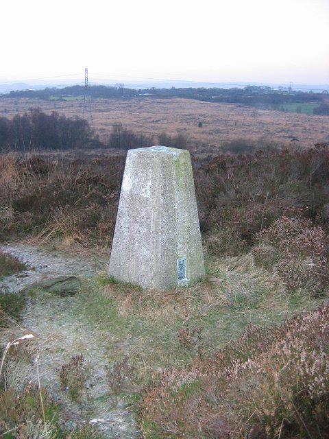 Photo could not load
SJ9348 : Wetley Moor
Richard Webb
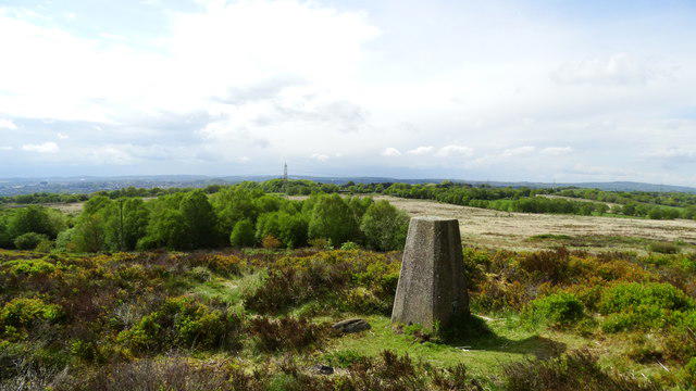 Photo could not load
SJ9348 : Trig Point at Armshead, Wetley Moor
Colin Park
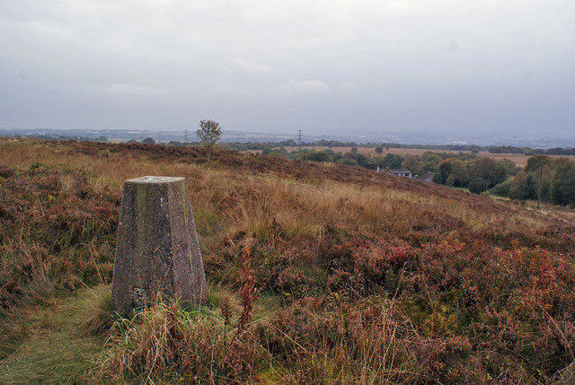 Photo could not load
SJ9348 : Wetley Moor trig point
Richard Dorrell
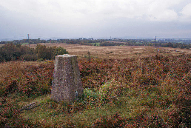 Photo could not load
SJ9348 : Wetley Moor trig point
Richard Dorrell
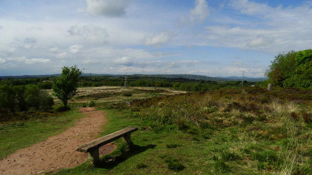 Photo could not load
SJ9348 : Summit seat & Trig Point at Armshead, Wetley Moor
Colin Park
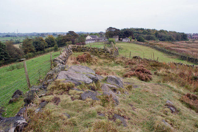 Photo could not load
SJ9348 : Edge of the moor
Richard Dorrell
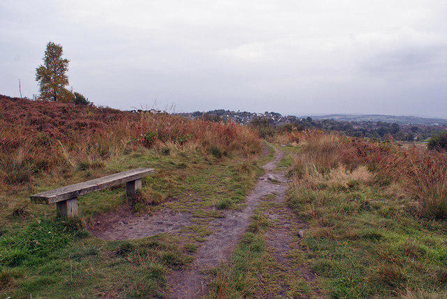 Photo could not load
SJ9348 : Path and bench on Wetley Moor
Richard Dorrell
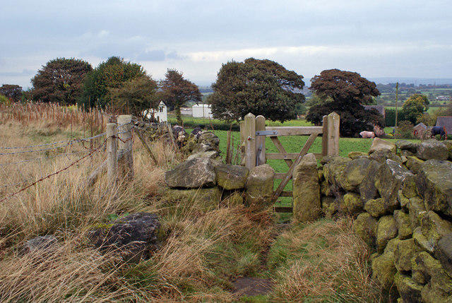 Photo could not load
SJ9348 : Access to the moor
Richard Dorrell
Hill facts and local notes
Classifications
Elevation
278m
912 ft
Prominence
31m
Coordinates
53.0324, -2.0983
SJ935483
OS Map
118
Explorer: 258
At the Summit
The summit features a substantial stone nature marker and views with a basic rock outcrop.
Terrain & Geology
Wetley Moor primarily consists of volcanic and sedimentary rock formations, including gritstone and sandstone, providing both interesting geological structures and diverse habitats.
Views & Scenery
Views extending towards the Peak District and the surrounding Staffordshire countryside, with notable landmarks like the Roaches and the surrounding valleys.
History & Heritage
Name Origin
The name 'Wetley' derives from the Old English for 'wet meadow', quite fitting for this boggy terrain!
Historical Significance
Historically a gathering point for local farmers, Wetley Moor has been a place of community and activity for generations.
Getting There & Facilities
Parking
There is parking available at Wetley Moor Common, which offers good access to the moor.
Public Transport
Buses run from nearby towns to the Wetley Moor area, with the closest bus stop located on the main road approximately 1.5 km from the moor.
Nearby Facilities
While there are no facilities on the moor itself, Biddulph offers a range of cafes and public restrooms to cater for your needs.
Safety Information
Known Hazards
- Beware of hidden muddy patches especially after rainfall, and keep an eye out for livestock in the area.
General Safety Tips
- Check weather conditions before setting out
- Carry appropriate clothing and equipment
- Let someone know your planned route
- Take a map, compass, and GPS device
- Carry emergency supplies: food, water, first aid kit, torch
Hills
Some common questions about the hills answered
Are there group walks up Wetley Moor?
Many walkers use Walkmates to join or organise walks with others. You can check for group walks around Wetley Moor through the maps
Are there other walkers around Wetley Moor?
Activity varies by location and time, but Walkmates lets you see whether others have shared walks or shown interest in this area. Find other people through the walking friends search walking friends for Wetley Moor search or of course create your own walk for Wetley Moor
Can I organise a walk to Wetley Moor?
Yes. If there aren’t any walks listed already, you can create a walk and make it available for others to join.
If you're signed up to Walkmates, you can create a walk to Wetley Moor.
How do I find a walk up this hill?
There are often multiple ways to walk this hill, depending on experience and route preference. Walkmates helps you explore walks and routes that others have shared.
Can I suggest a new route up Wetley Moor?
Yes. You can suggest or create routes to share with others. Walkmates focuses on the social side of walking, so routes are used to help people organise walks and explore areas together, rather than as detailed navigation tools or route libraries.
Other uses really appreciate knowledgeable walkers sharing their routes. Share your favourite route to Wetley Moor here
The is an error or something incorrect about this hill. How do I let you know?
We always strive to keep the information on Walkmates as accurate as possible. If you find an error, please let us know through the contact form and we'll aim to correct it as quickly as possible
Community Discussion
Comments
Location
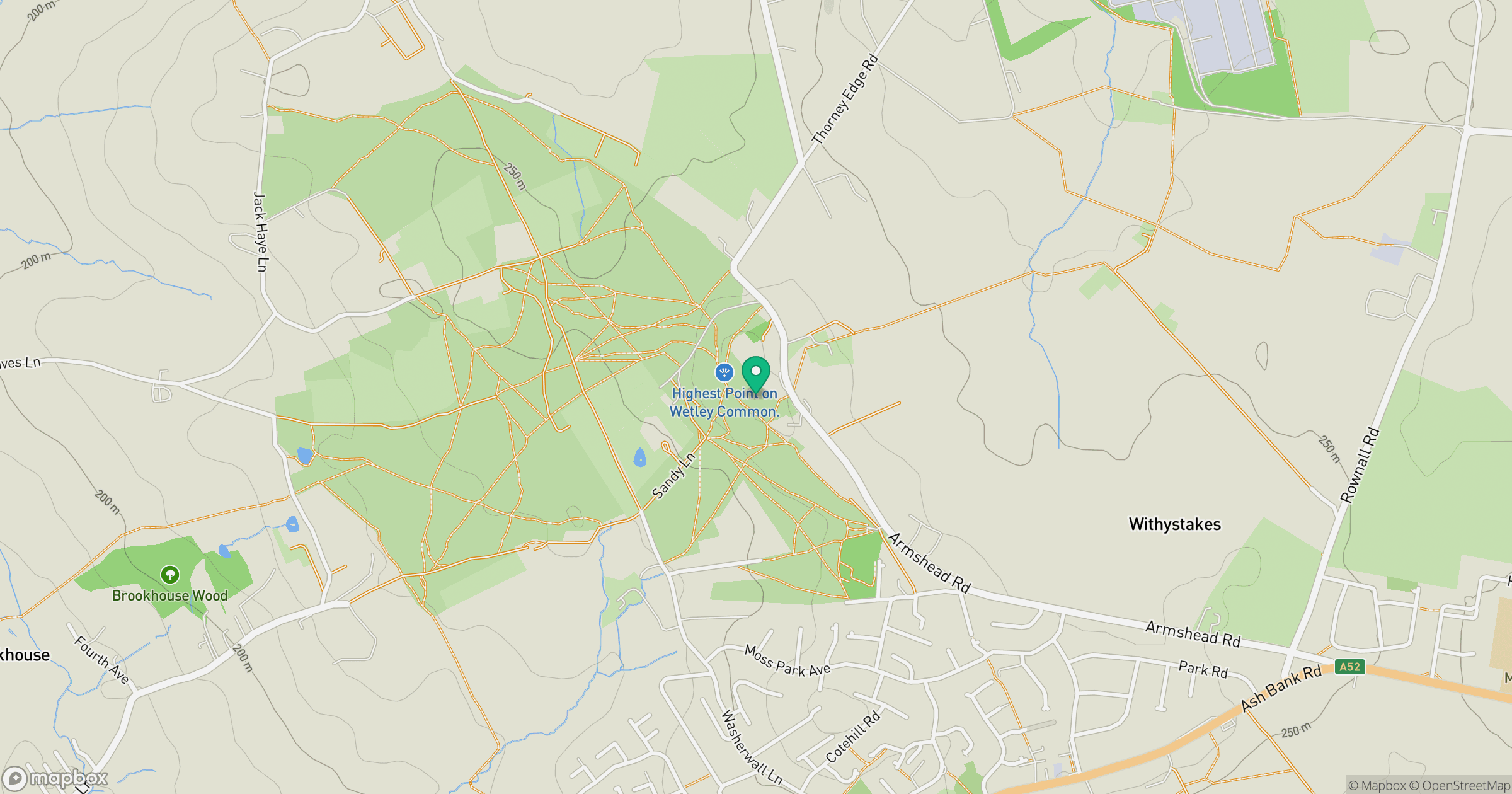
Grid reference: SJ935483
View on OpenStreetMapOpens a map in a new tab, centred on the hill.


No comments yet. Be the first.