

Gun
Good walks are even better shared.
SJ9661 : Path to the summit of Gun.
steven ruffles Photo source
Overview
Gun Mountain
Gun Mountain, standing at a modest elevation of 149 meters, embodies the charm of the Shropshire Hills. While it may not be the tallest beast in the range, what it lacks in height, it more than makes up for in stunning scenery and historical significance.
Geology
Crafted from sedimentary rocks dating back to the Silurian period, the mountain's terrain offers a mix of rugged sandstone and soft mudstone. This unique geology not only tells a tale of the Earth's past but also provides a lovely backdrop for your walking escapade.
Routes
The Main Ridge Route is the go-to path for hikers. Stretching 5.4 km, it meanders through lush grasslands and rocky outcrops. Expect a moderate challenge that rewards with postcard-perfect views at every turn.
Summit Features
At the top, you'll find a humble cairn and a viewfinder, welcoming all who choose to explore its heights. Snack and bask in the panoramic view; just remember to leave the last bite for the birds—they're part of the experience!
Views
One of the best-kept secrets of Gun is its breathtaking vistas. To the west, the Welsh hills beckon, while the rolling green fields of England stretch endlessly to the east. Spring and early autumn are the choicest seasons for these views, when the air is crisp, and the colours pop.
Hazards
Keep your wits about you! Fog can roll in unexpectedly, making it easy to lose your way. A compass, map, and some quick bushcraft skills will keep you on track and out of trouble.
Nearby Summits
Don't miss the chance to explore nearby peaks like Bury Ditches and Clee Hill. Each offers unique challenges and stunning views of its own.
Access
Parking can be a bit tricky, especially on sunny weekends. The Clun car park fills quickly, so consider getting there early. For those relying on public transport, limited bus services from Ludlow can get you within striking distance, but do check the schedule!
Facilities
Clun is the nearest town, and it has a couple of delightful tea rooms—perfect for a cup of tea or a slice of cake post-hike. There's also public toilets available for those urgently in need.
History
The name 'Gun' likely simply means 'hill' in Old British, which seems fitting for such a proud mountain. Historically, the region is rich with ancient fortifications, adding a touch of mystery to your journey.
In conclusion, Gun Mountain may be modest in height, but it’s big on beauty, history, and adventure. Grab your boots and explore this hidden gem in the Shropshire Hills. Happy hiking!
Explore routes near Gun
Walks starting near this hill. Open a route to check its map, distance and full itinerary.
Tittesworth Reservoir
View route
Rudyard Lake Circuit near Leek
View route
Deep Hayes Country Park: Cumberledge Pool and woodland circuit
View route
Three Shires guided hike
View route
Route planning notes
These notes describe possible approaches. Check a route's map and access information when planning your walk.
Main Ridge Route
A straightforward path leading from the village of Clun, offering gentle slopes and stunning views all around.
Make a day of it, together
Find someone to share the walk with, or organise a day out along a route you like.
Photo Gallery
View all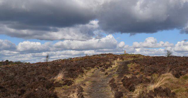 Photo could not load
SJ9661 : Path to the summit of Gun.
steven ruffles
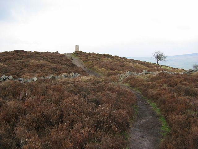 Photo could not load
SJ9661 : The summit, Gun
Richard Webb
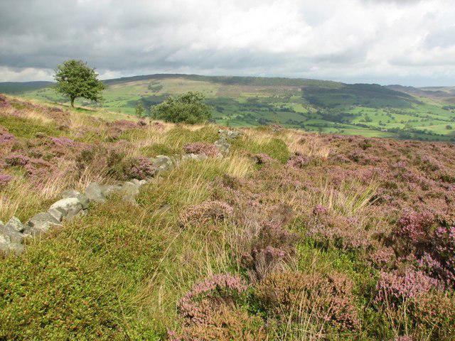 Photo could not load
SJ9761 : Wall, Gun
Callum Black
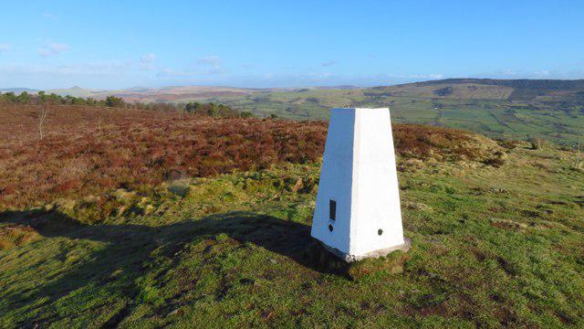 Photo could not load
SJ9761 : Trig Point on Gun Hill
Colin Park
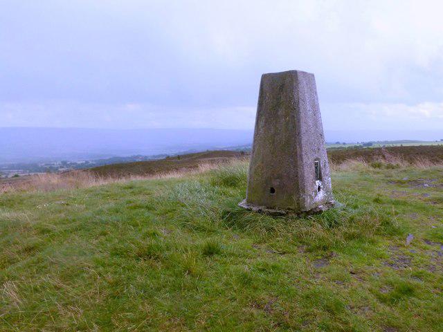 Photo could not load
SJ9761 : Trig point on Gun
Graham Hogg
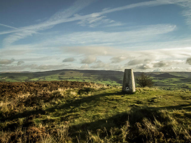 Photo could not load
SJ9761 : The Gun Trigpoint
Brian Deegan
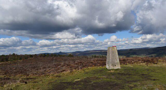 Photo could not load
SJ9761 : The 385 metre summit of Gun.
steven ruffles
Hill facts and local notes
Classifications
Elevation
385m
1,264 ft
Prominence
169m
Coordinates
53.1508, -2.0462
SJ970615
OS Map
118
Explorer: OL24W
At the Summit
The summit is marked by a small cairn and a viewfinder, perfect for spotting distant hills and plotting your next adventure.
Terrain & Geology
The mountain is primarily composed of sedimentary rocks from the Silurian period, giving it a rugged, ancient appearance. The striking outcrops of sandstone and mudstone provide a grand stage for any hiker.
Views & Scenery
From the summit, one can behold the breathtaking expanse of the Welsh hills to the west and the lush English landscape to the east.
History & Heritage
Name Origin
The name 'Gun' is believed to derive from an Old British word meaning 'hill' or 'mountain', which fits its impressive stature.
Historical Significance
This hill is steeped in history, with ancient fortifications nearby that speak to its long-standing role in the local landscape.
Getting There & Facilities
Parking
There's a car park in Clun, about 2 km from the trailhead, which is free but fills up quickly on sunny weekends.
Public Transport
The nearest bus service runs from Ludlow and has limited hours, so check the schedule ahead of time.
Nearby Facilities
Clun offers a couple of quaint tea rooms and public toilets, perfect for a well-deserved rest after your hike.
Safety Information
Known Hazards
- Low visibility in foggy conditions can lead to confusion on the trails, so it's best to have a compass and map handy.
General Safety Tips
- Check weather conditions before setting out
- Carry appropriate clothing and equipment
- Let someone know your planned route
- Take a map, compass, and GPS device
- Carry emergency supplies: food, water, first aid kit, torch
Hills
Some common questions about the hills answered
Are there group walks up Gun?
Many walkers use Walkmates to join or organise walks with others. You can check for group walks around Gun through the maps
Are there other walkers around Gun?
Activity varies by location and time, but Walkmates lets you see whether others have shared walks or shown interest in this area. Find other people through the walking friends search walking friends for Gun search or of course create your own walk for Gun
Can I organise a walk to Gun?
Yes. If there aren’t any walks listed already, you can create a walk and make it available for others to join.
If you're signed up to Walkmates, you can create a walk to Gun.
How do I find a walk up this hill?
There are often multiple ways to walk this hill, depending on experience and route preference. Walkmates helps you explore walks and routes that others have shared.
Can I suggest a new route up Gun?
Yes. You can suggest or create routes to share with others. Walkmates focuses on the social side of walking, so routes are used to help people organise walks and explore areas together, rather than as detailed navigation tools or route libraries.
Other uses really appreciate knowledgeable walkers sharing their routes. Share your favourite route to Gun here
The is an error or something incorrect about this hill. How do I let you know?
We always strive to keep the information on Walkmates as accurate as possible. If you find an error, please let us know through the contact form and we'll aim to correct it as quickly as possible
Community Discussion
Comments
Location
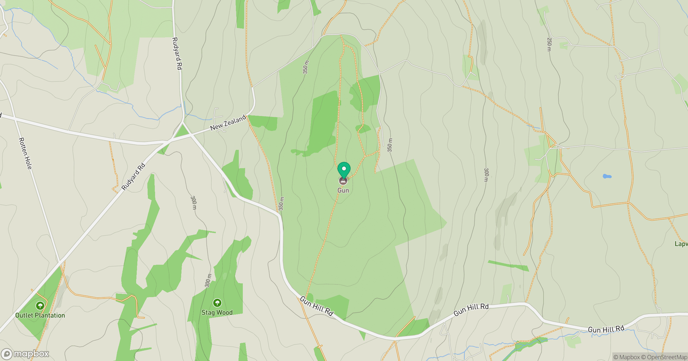
Grid reference: SJ970615
View on OpenStreetMapOpens a map in a new tab, centred on the hill.



No comments yet. Be the first.