
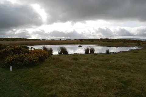
Twyn Disgwylfa
Good walks are even better shared.
Overview
Twyn Disgwylfa
Introduction
Twyn Disgwylfa, standing proudly at 602 meters, is a delightful Marilyn nestled in the stunning Brecon Beacons National Park. It’s the kind of place that doesn’t just invite you to hike—it practically begs for it. The views from the top are not just a cherry on the cake; they’re the cake itself!
Geology
Formed from resilient sandstone, the mountain offers an intriguing glimpse into the Earth’s past, dating back to the Carboniferous period. The rocky outcrops add a bit of character and a challenge for those looking to strut their stuff on the ascent.
Routes
The Cwm Clydach Route provides a moderate trek that is accessible for most. Spanning approximately 5.5 km, this route features a gentle climb punctuated with a few steep sections that will get your heart racing and your legs burning.
Summit Features
Upon reaching the summit, expect to see a sturdy trig point standing vigil over the surrounding valleys. There’s also a charming little cairn that gives you a reason to pause, catch your breath, and maybe even plant a flag if you're feeling particularly adventurous.
Terrain Type
The terrain comprises mainly grassy slopes, interspersed with rugged rocky patches—a combination that keeps it interesting. Be prepared for the occasional ankle-twister, but nothing you can’t handle.
Views
From the summit, the panoramic vistas are nothing short of breathtaking. Look to the west for Pen y Fan’s majestic profile and down into the lush Usk Valley. The best times to soak in these views are during Spring and Autumn when the landscape is at its most vibrant.
Hazards
As with any mountain adventure, be mindful of changing weather conditions. The Beacons can switch moods faster than you can say 'wrong turn'. Wet paths can be slippery, so tread carefully! And watch those steep drops!
Nearby Summits
If you're in the area, consider tackling nearby summits like Mynydd Llangatwg (700m) and Fan Fawr (734m) for added challenge and stunning views.
Access
Parking is available at Cwm Clydach, but arrive early to secure a spot. If you're relying on public transport, the nearest bus service is somewhat reliable—just remember, like the weather in the Brecon Beacons, it’s always best to check ahead!
Facilities
While there are no facilities at the top, the charming Cwm Clydach offers a café for your pre-or post-hike caffeine needs.
Conclusion
Whether you’re looking to conquer a peak or simply enjoy a light stroll in nature, Twyn Disgwylfa has something for everyone. Don’t forget your camera!
Explore routes near Twyn Disgwylfa
Public walks starting within 80 km of this hill. Nearby does not mean a route reaches the summit; check its map and access before setting out.
World Curlew Day Walk and Talk at Mynydd Illtud
View route
Brecon Basin to Brynich Aqueduct: Canal Towpath Walk
View route
Pen y Fan via Corn Du from Storey Arms
View route
Usk Reservoir: Glasfynydd Forest and Dam Circuit
View route
Route planning notes
These notes describe possible approaches, not verified navigable routes or permission to cross land. Check current paths, local access rules and conditions before setting out.
Cwm Clydach Route
A scenic route starting from Cwm Clydach, offering a blend of gentle slopes and steep sections. Ideal for those wanting to stretch their legs and take in the views.
Make a day of it, together
Find someone to share the walk with, or organise a day out along a route you like.
Photo Gallery
View all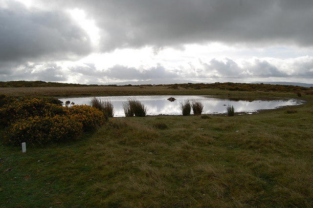 Photo could not load
SN9531 : Pond on the Drove road
Clive Perrin
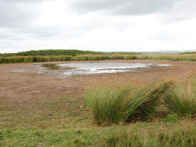 Photo could not load
SN9531 : Pwllyn ar Dwyn Disgwylfa / Pool on Twyn Disgwylfa
Alan Richards
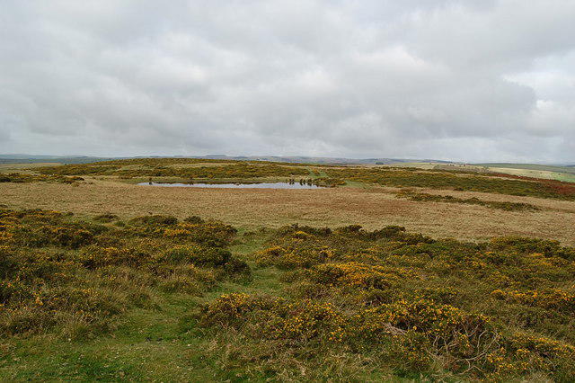 Photo could not load
SN9531 : Stunted gorse near Twyn Disgwylfa
Clive Perrin
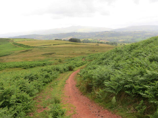 Photo could not load
SN9531 : Llwybr ar Dwyn Disgwylfa / Path on Twyn Disgwylfa
Alan Richards
Hill facts and local notes
Classifications
Elevation
417m
1,367 ft
Prominence
101m
Coordinates
51.9753, -3.5282
SN951318
OS Map
160
Explorer: OL12E
At the Summit
The summit is marked by a small cairn and offers a trig point, perfect for those who love a good photo opp—a bit like standing on top of the world... if the world were a few hundred meters tall, that is.
Terrain & Geology
The peak is primarily composed of sandstone, which provides a rugged and resilient landscape. The underlying rock formations date back to the Carboniferous period, making it not just a pretty face but a historical gem.
Views & Scenery
From the summit, enjoy panoramic views of the surrounding Brecon Beacons, including Pen y Fan and the tranquil Usk Valley. A perfect backdrop for epic selfies!
History & Heritage
Name Origin
The name Twyn Disgwylfa translates to 'Hill of Watching', which is quite fitting—as you certainly feel like the king of the hill up there.
Historical Significance
The area has a rich cultural history, once used by early settlers, and offers insights into the region's past, including various archaeological finds.
Getting There & Facilities
Check current local access restrictions, parking rules and transport timetables before travelling. These notes do not confirm public access to the summit.
Parking
There is a small parking area at Cwm Clydach, which can accommodate around 15 cars. Get there early on weekends or risk circling like a vulture!
Public Transport
The nearest bus service runs from Brecon to Ystradgynlais, with a stop in Cwm Clydach. However, check the timetable, as it can be as reliable as a weather forecast.
Nearby Facilities
There are no facilities at the summit, but Cwm Clydach has a small café and public toilets nestled at the bottom—perfect for a pre-hike caffeine fix or post-hike cake.
Safety Information
Known Hazards
- Watch out for sudden weather changes, as the Beacons can throw a curveball or two. Also, be wary of steep drops and slippery patches after rain.
General Safety Tips
- Check weather conditions before setting out
- Carry appropriate clothing and equipment
- Let someone know your planned route
- Take a map, compass, and GPS device
- Carry emergency supplies: food, water, first aid kit, torch
Hills
Some common questions about the hills answered
Are there group walks up Twyn Disgwylfa?
Many walkers use Walkmates to join or organise walks with others. You can check for group walks around Twyn Disgwylfa through the maps
Are there other walkers around Twyn Disgwylfa?
Activity varies by location and time, but Walkmates lets you see whether others have shared walks or shown interest in this area. Find other people through the walking friends search walking friends for Twyn Disgwylfa search or of course create your own walk for Twyn Disgwylfa
Can I organise a walk to Twyn Disgwylfa?
Yes. If there aren’t any walks listed already, you can create a walk and make it available for others to join.
If you're signed up to Walkmates, you can create a walk to Twyn Disgwylfa.
How do I find a walk up this hill?
There are often multiple ways to walk this hill, depending on experience and route preference. Walkmates helps you explore walks and routes that others have shared.
Can I suggest a new route up Twyn Disgwylfa?
Yes. You can suggest or create routes to share with others. Walkmates focuses on the social side of walking, so routes are used to help people organise walks and explore areas together, rather than as detailed navigation tools or route libraries.
Other uses really appreciate knowledgeable walkers sharing their routes. Share your favourite route to Twyn Disgwylfa here
The is an error or something incorrect about this hill. How do I let you know?
We always strive to keep the information on Walkmates as accurate as possible. If you find an error, please let us know through the contact form and we'll aim to correct it as quickly as possible
Community Discussion
Comments
Location
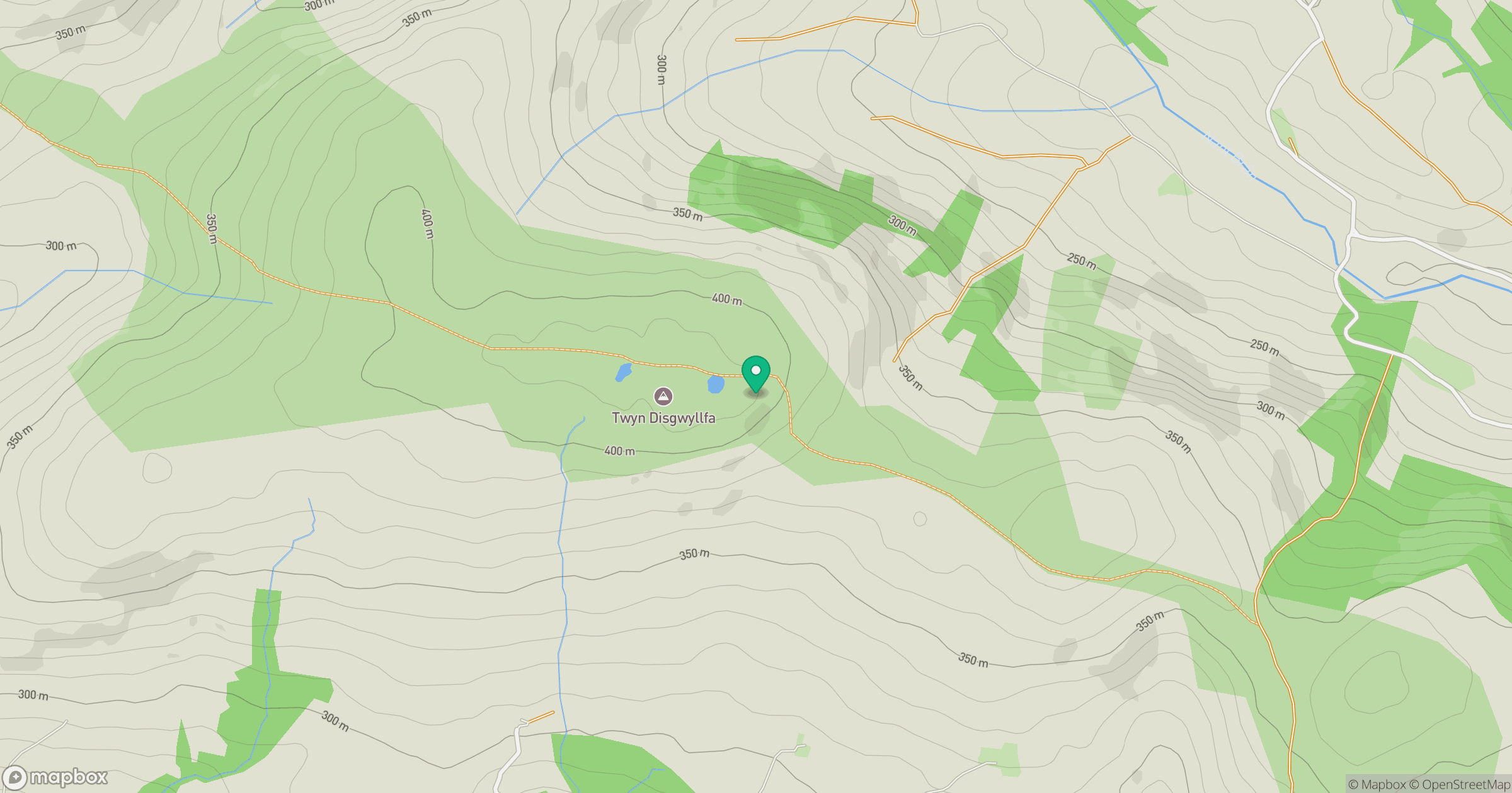
Grid reference: SN951318
View on OpenStreetMapOpens a map in a new tab, centred on the hill.
Hills within 30 km
Straight-line distance, not a walking route or confirmation of access.
No comments yet. Be the first.