
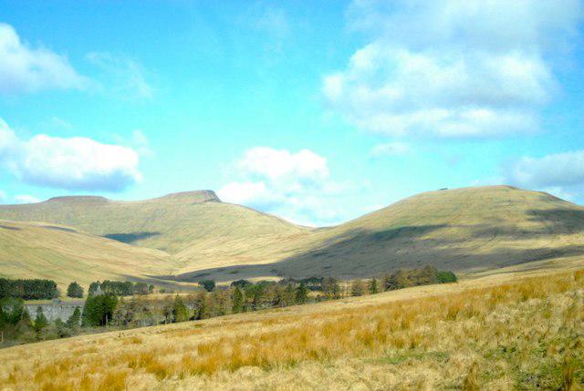
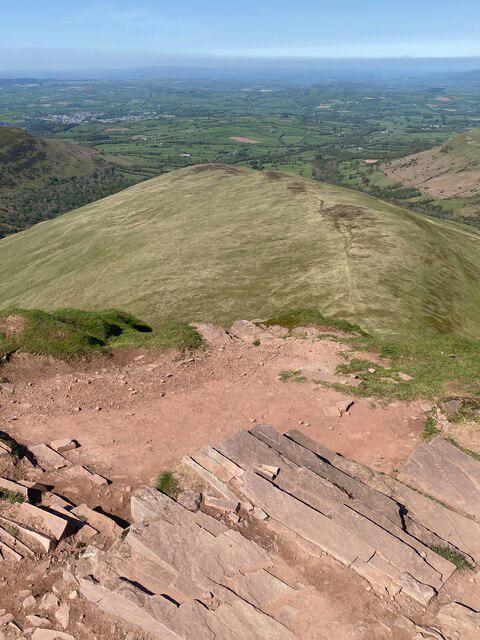
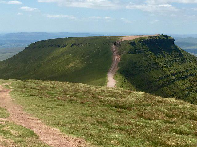
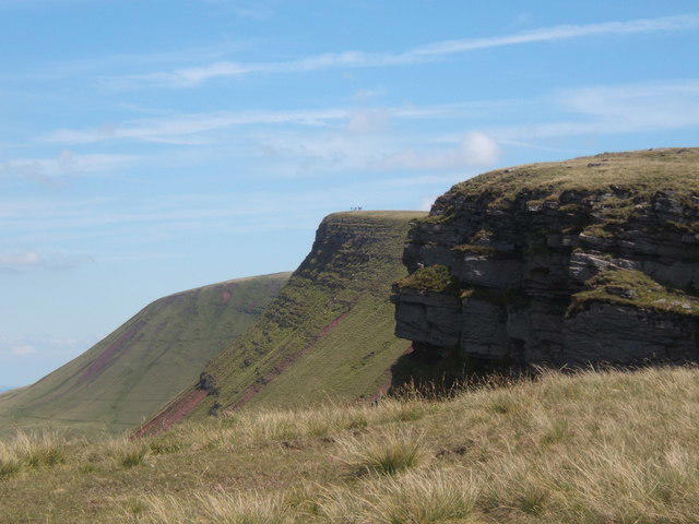
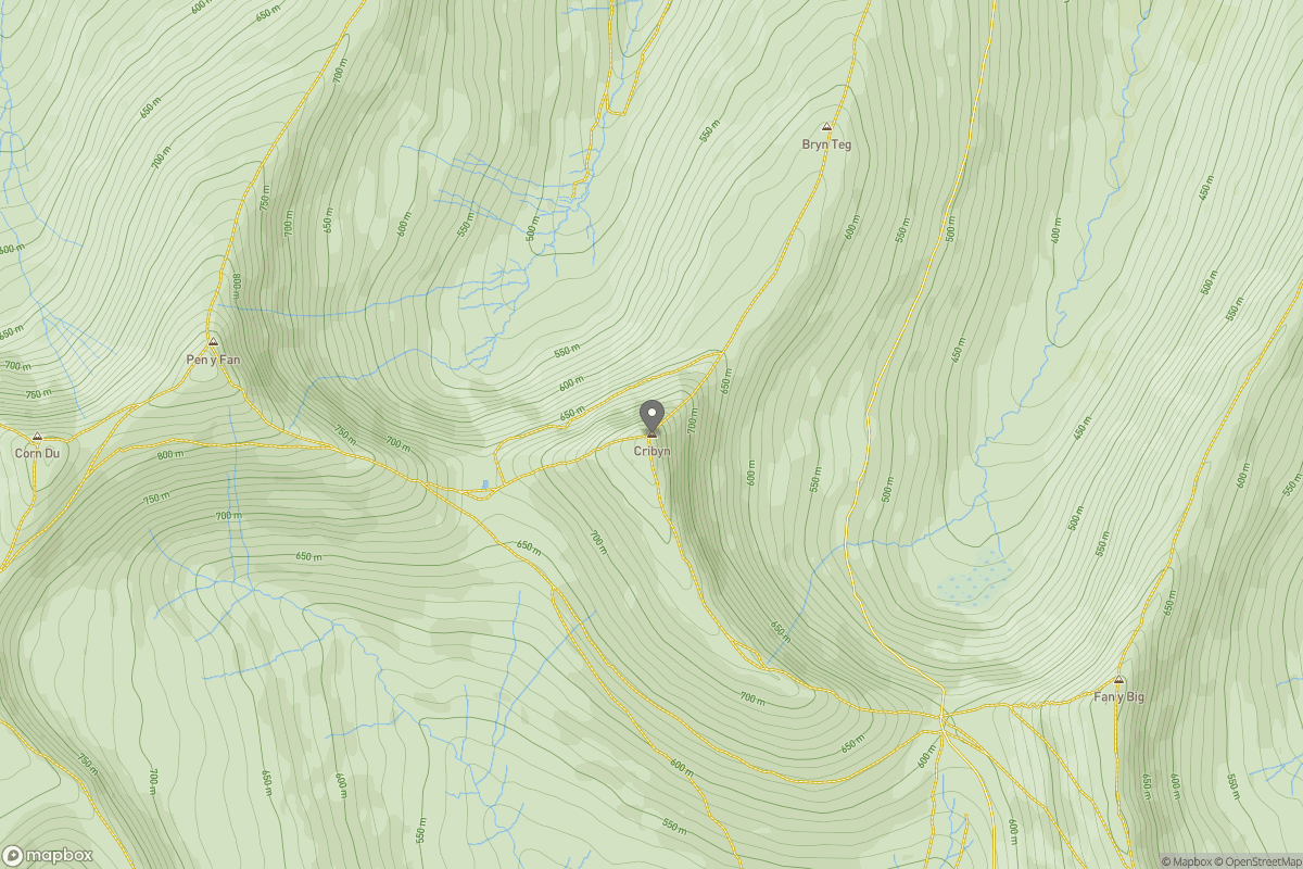
Upland / Hill
Circular
Medium
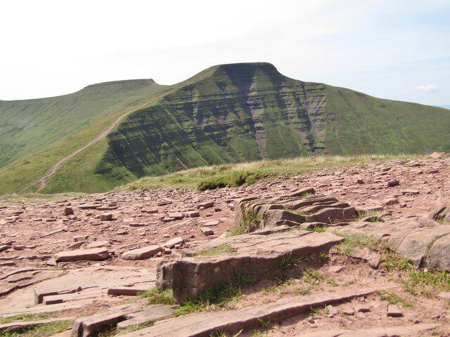
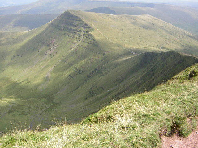
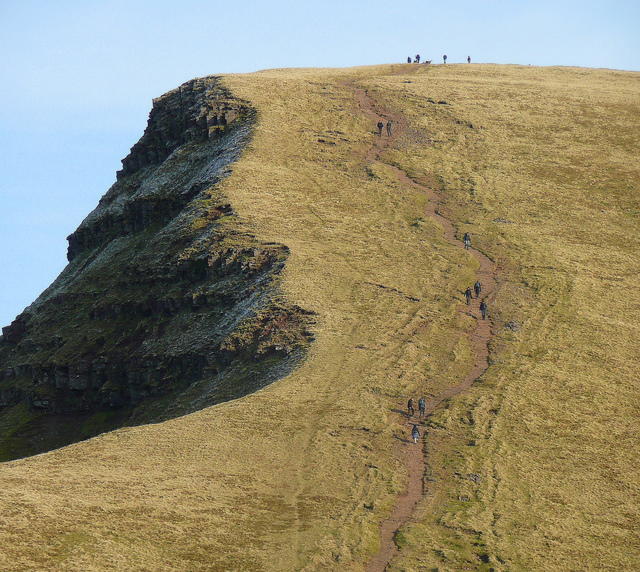
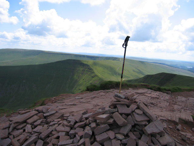
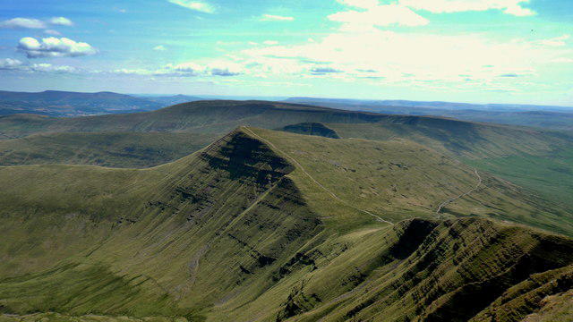
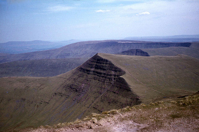
Pen y Fan via Corn Du from Storey Arms
PaulWalkmates
Walk organiser

No comments yet. Be the first.