
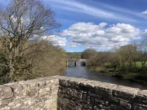
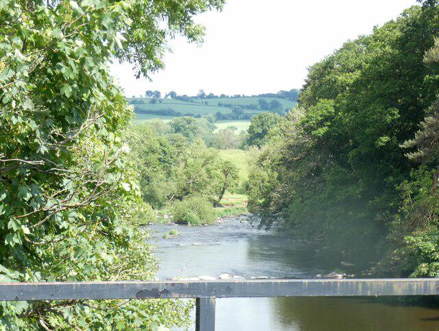
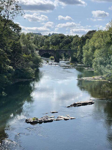
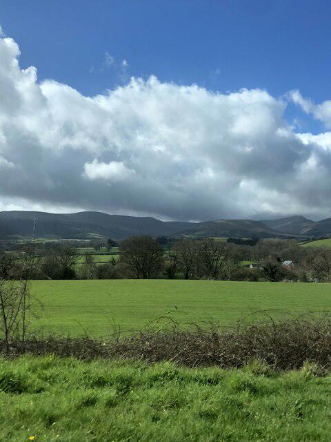
Image shared for Brecon Basin to Brynich Aqueduct: Canal Towpath Walk
Canal / Riverside Out & back

Brecon Basin to Brynich Aqueduct: Canal Towpath Walk

Powys

Distance
4.5 mi
Est. time
2h 15m
Difficulty
Easy
PaulWalkmates Route by PaulWalkmates

About this walk

Start at the pay-and-display Theatr Brycheiniog car park on Canal Road, beside Brecon canal basin. The start pin is at the northern pedestrian exit beside the basin; leave the car park on this side and follow the basin frontage onto the towpath. Walk east with the canal beside you, passing Gasworks Bridge and the double-arched Watton Wharf Bridge. Stay on the towpath beneath the A40 bypass and Brynich Bridge, then follow the canal bends to Brynich Lock and the northern end of Brynich Aqueduct over the River Usk. Turn here and retrace the same towpath to the basin and car park.

This is a mostly level out-and-back walk on paved and compacted towpath, with narrower sections under bridges and occasional muddy patches. The water edge is often unprotected. Share the path considerately with cyclists, keep children close and dogs under control, and take care around working boats and lock gates. The mapped turnaround is before crossing the aqueduct. Allow about 2 hours 15 minutes for walking and short pauses. The basin has benches and Theatr Brycheiniog has a cafe and toilets when open.

Parking charges apply all day; the theatre currently lists a daytime four-hour tariff of £3.25. Check the machine and venue opening times on arrival. Canal & River Trust has scheduled navigation works at Brynich from 9 to 27 November 2026; check its latest notices before visiting and follow on-site instructions. A separately listed towpath closure at Llanfrynach is beyond this route.

Route and heritage information: Canal & River Trust, Step by Step - Brecon Basin and Brecon Basin visitor map. Parking information: Theatr Brycheiniog visitor information. Access notices checked 4 October 2026.

Walk details

County
Powys
Walk type
Out & back
Category
Canal / Riverside
Distance
4.5 mi (7.3 km)
Est. time
2h 15m
Explorer
Yes, off the beaten track

Route map

Use the route details to plan your walk

If the map image does not load, the route description and starting-point details are still on this page.

The interactive map will load when you reach this section.

Where to start

Directions to start

Walking on your own?

Start when you're ready and add the walk to your history. No group date needed.

This walk is waiting for a date

Not ready to pick a date? Follow it and you'll hear when somebody else does.

No commitment. You can follow it now and pick a date later.

Joining a walk

A few things to know before you make plans.

Can I join if no one else is going?

You can be the first to join a scheduled walk. A suggested date is an idea for a group walk; choose Set this date up to organise it. Check the participant list and meeting details before setting off.

What if there is no date yet?

Choose Put a date on this walk to organise a group walk. Not ready to choose a day? Follow the route for scheduling updates, or save it for later.

What does the organiser do?

The organiser sets the date and meeting details and helps the group get started. They are a fellow walker and may be new to the route too.

Each walker is responsible for their own safety and navigation. Check the route, weather, equipment and whether the walk suits your experience and fitness.

Can I walk this route on my own?

Yes. Choose Walk this route on your own to open the start screen, then start when you are ready. Finish the walk to add it to your walking history. You do not need a group date.

What happens after I join?

Use the walk page to check meeting details, updates and who is going. Check in from 24 hours before the start to let the group know you still plan to come.

How do I confirm plans with the group?

Check the participant list and check-ins, and message the organiser or other walkers to confirm where to meet and who is coming. This is especially useful when the group is small.
