

Fan Llia
Good walks are even better shared.
SN9318 : Fan Llia
Shaun Ferguson Photo source
Overview
Fan Llia: A Hidden Gem in the Brecon Beacons
Overview
Fan Llia stands proudly at 641 meters, offering a delightful experience for hikers of all stripes. With its gentle slopes and rocky scrambles, it’s a place where you can stretch your legs and drink in stunning views.
Geology
The mountain features gritty gritstone, surrounded by beautiful plateau peat. This means you get the lovely vistas and, if you’re not careful, the infamous bog. So, if you fancy a foot soak, tread carefully!
Routes
Two popular routes lead to the summit: the Bryn Llia Route offers a more gradual ascent, perfect for those wishing to take in the scenery without losing their breath completely. The second, a steeper climb starting at Ogof Ffynnon Ddu Car Park, really gets your heart racing—though the views will make it worthwhile!
Summit Features
At the summit stands a confident trig point, often holding court with a few bemused sheep. It’s a marvellous spot to pull out the sandwiches and admire your surroundings.
Terrain
Expect a diverse terrain with grassy patches, rocky outcrops, and those cheeky boggy bits that like to surprise hikers. Remember, nature’s not always your friend!
Views
The views from Fan Llia are nothing short of spectacular. On a clear day, you’ll be able to spot Pen y Fan and Cribyn, as well as the expansive Brecon landscape—perfect for those Instagram selfies. For the best views, aim for spring or autumn when the scenery is at its vibrant best.
Hazards
Keep an eye out for bogs, particularly after a good downpour. Weather can change faster than you can say 'Puddle'; come prepared for the elements!
Access
For those driving in, Ogof Ffynnon Ddu Car Park is your best bet. Public transport is limited, so it’s advisable to bring your own wheels. The charming town of Brecon is just a stone's throw away for a post-hike treat!
Facilities
While the mountains are free of amenities, Brecon offers a plethora of cafes and shops. Make sure to stock up—your stomach will thank you!
History
The name Fan Llia adds a touch of mythology, with possible roots in ancient folklore. This area is steeped in history, making it a treasure trove for those who appreciate a good tale.
So grab your walking boots, pack some snacks, and go make some memories at Fan Llia, where adventure awaits just over the hill!
Explore routes near Fan Llia
Walks starting near this hill. Open a route to check its map, distance and full itinerary.
Pen y Fan via Corn Du from Storey Arms
View route
Aircraft Crash Site - Wellington Bomber and Vampire Jet (Black Mountain range)
View route
Brecon Basin to Brynich Aqueduct: Canal Towpath Walk
View route
Usk Reservoir: Glasfynydd Forest and Dam Circuit
View route
Route planning notes
These notes describe possible approaches. Check a route's map and access information when planning your walk.
Bryn Llia Route
A gentle ascent beginning from the north, through scenic moorland with clear paths leading to the summit.
Fan Llia via the Ogof Ffynnon Ddu Car Park
Starting at the car park, this route offers a steeper climb with stunning views of the surrounding peaks.
Make a day of it, together
Find someone to share the walk with, or organise a day out along a route you like.
Photo Gallery
View all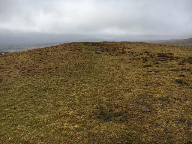 Photo could not load
SN9318 : Fan Llia
Shaun Ferguson
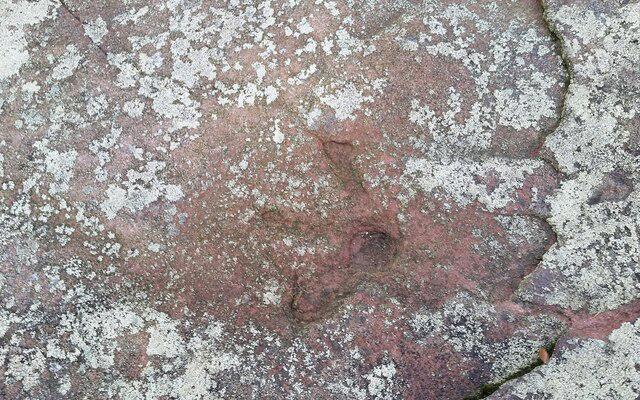 Photo could not load
SN9318 : Old Trig Point
Adrian Dust
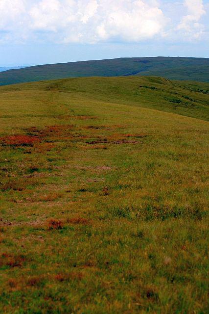 Photo could not load
SN9318 : Fan Llia Summit
Mick Garratt
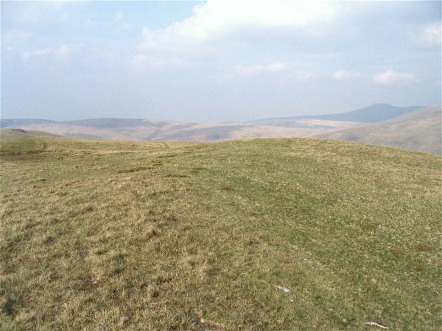 Photo could not load
SN9318 : Summit of Fan Llia
Nigel Davies
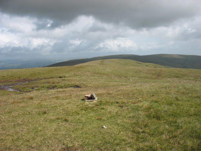 Photo could not load
SN9318 : Summit of Fan Llia
David Purchase
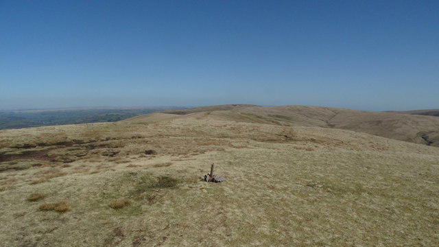 Photo could not load
SN9318 : Minor cairn on summit of Fan Llia
Colin Park
Hill facts and local notes
Classifications
Elevation
632m
2,073 ft
Prominence
100m
Coordinates
51.8560, -3.5430
SN938186
OS Map
160
Explorer: OL12E
At the Summit
The summit is marked by a prominent trig point, often adorned with a few bits of friendly sheep – they seem to think they're the real owners of the vista.
Terrain & Geology
Fan Llia is predominantly composed of gritstone and surrounded by plateau peat, giving this area a unique geological character that contributes to both its beauty and its boggy bits – so watch your step!
Views & Scenery
From the summit, gaze upon the twin peaks of Cribyn and Pen y Fan, alongside the sprawling landscapes of the Brecon Beacons and beyond.
History & Heritage
Name Origin
The name 'Fan Llia' is believed to derive from 'fan', meaning peak in Welsh, with 'Llia' possibly referring to a personal or mythical individual.
Historical Significance
The region is rich in folklore, and the surrounding area has been inhabited since prehistoric times, enhancing its cultural allure.
Getting There & Facilities
Parking
Ogof Ffynnon Ddu Car Park, easily accessible with spaces available for loads of cars.
Public Transport
Llanhamlach is the nearest village with limited bus services; however, having a car is recommended for the best access.
Nearby Facilities
There are no facilities directly on the mountain, but Brecon offers various cafes, shops, and toilet facilities to prepare you for your adventure.
Safety Information
Known Hazards
- Boggy ground can be treacherous, especially after rain; watch your step or you might find yourself knee-deep in a natural spa.
- Weather can change rapidly, so always be prepared for elements even in summer.
General Safety Tips
- Check weather conditions before setting out
- Carry appropriate clothing and equipment
- Let someone know your planned route
- Take a map, compass, and GPS device
- Carry emergency supplies: food, water, first aid kit, torch
Hills
Some common questions about the hills answered
Are there group walks up Fan Llia?
Many walkers use Walkmates to join or organise walks with others. You can check for group walks around Fan Llia through the maps
Are there other walkers around Fan Llia?
Activity varies by location and time, but Walkmates lets you see whether others have shared walks or shown interest in this area. Find other people through the walking friends search walking friends for Fan Llia search or of course create your own walk for Fan Llia
Can I organise a walk to Fan Llia?
Yes. If there aren’t any walks listed already, you can create a walk and make it available for others to join.
If you're signed up to Walkmates, you can create a walk to Fan Llia.
How do I find a walk up this hill?
There are often multiple ways to walk this hill, depending on experience and route preference. Walkmates helps you explore walks and routes that others have shared.
Can I suggest a new route up Fan Llia?
Yes. You can suggest or create routes to share with others. Walkmates focuses on the social side of walking, so routes are used to help people organise walks and explore areas together, rather than as detailed navigation tools or route libraries.
Other uses really appreciate knowledgeable walkers sharing their routes. Share your favourite route to Fan Llia here
The is an error or something incorrect about this hill. How do I let you know?
We always strive to keep the information on Walkmates as accurate as possible. If you find an error, please let us know through the contact form and we'll aim to correct it as quickly as possible
Community Discussion
Comments
Location
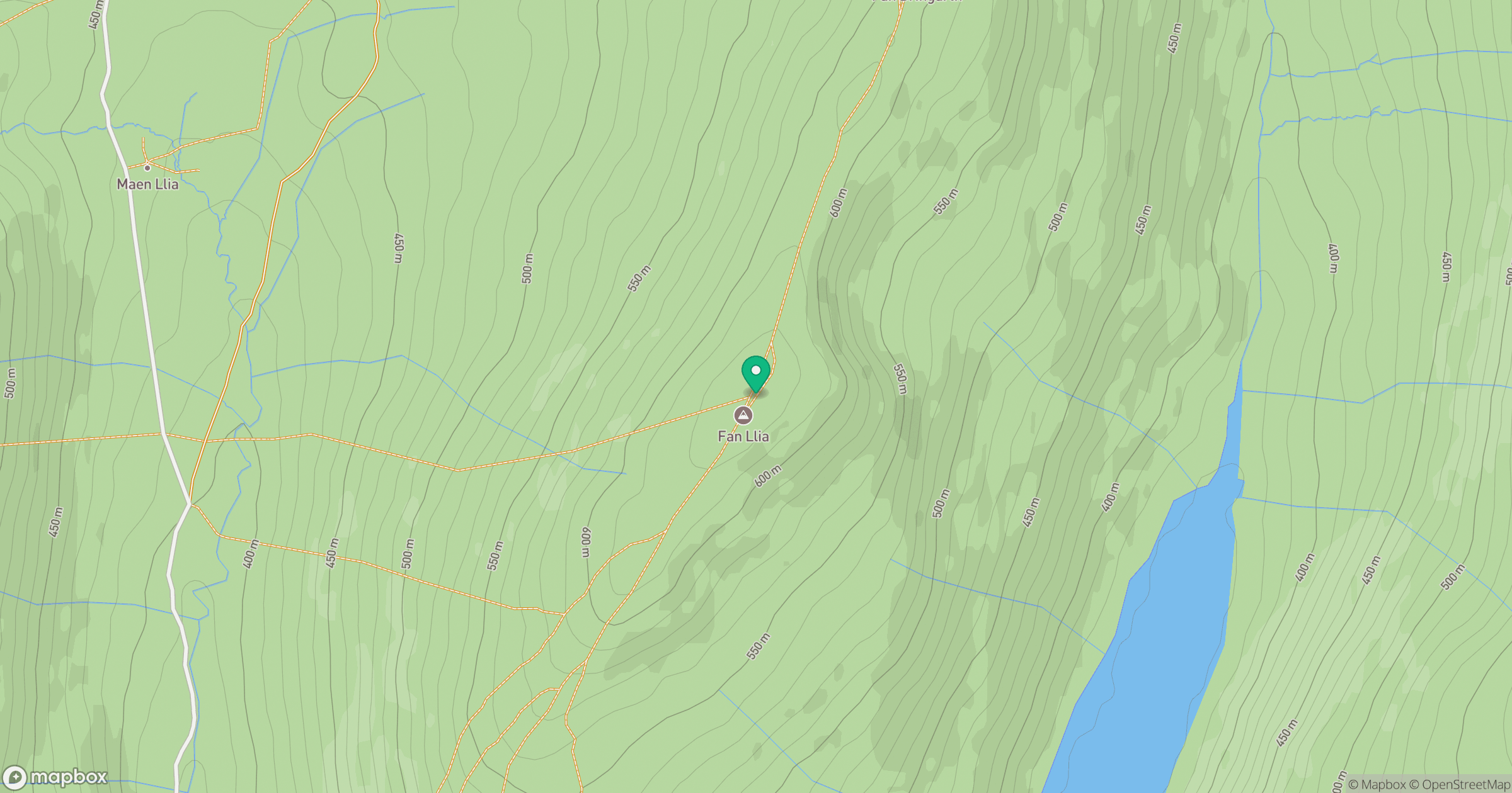
Grid reference: SN938186
View on OpenStreetMapOpens a map in a new tab, centred on the hill.


No comments yet. Be the first.