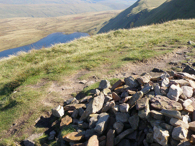
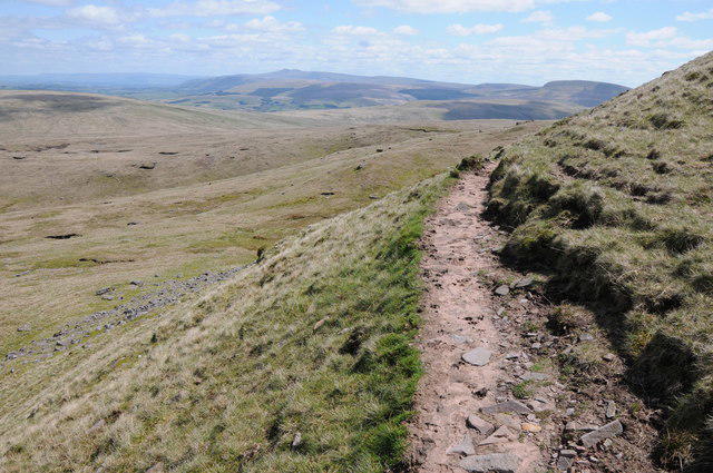
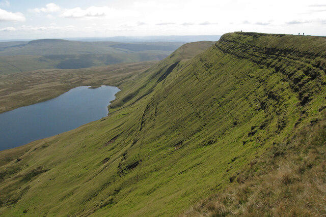
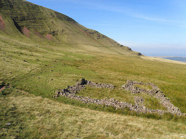
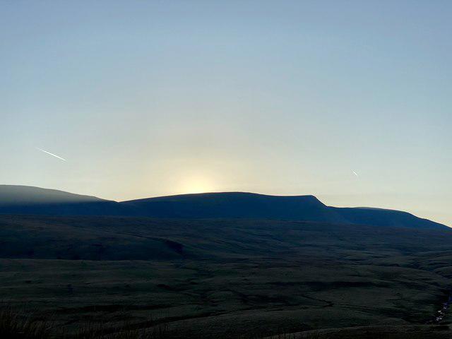
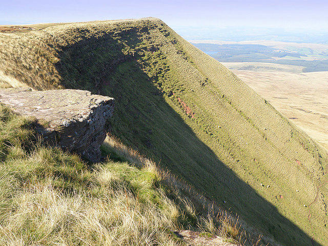
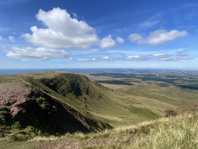
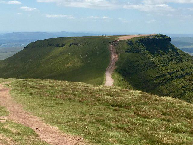
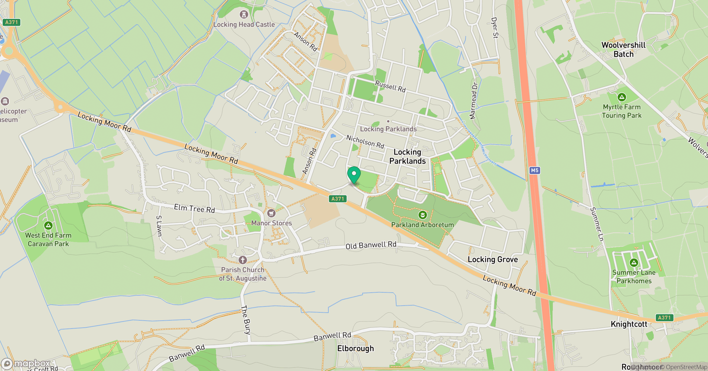
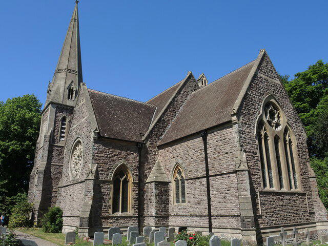
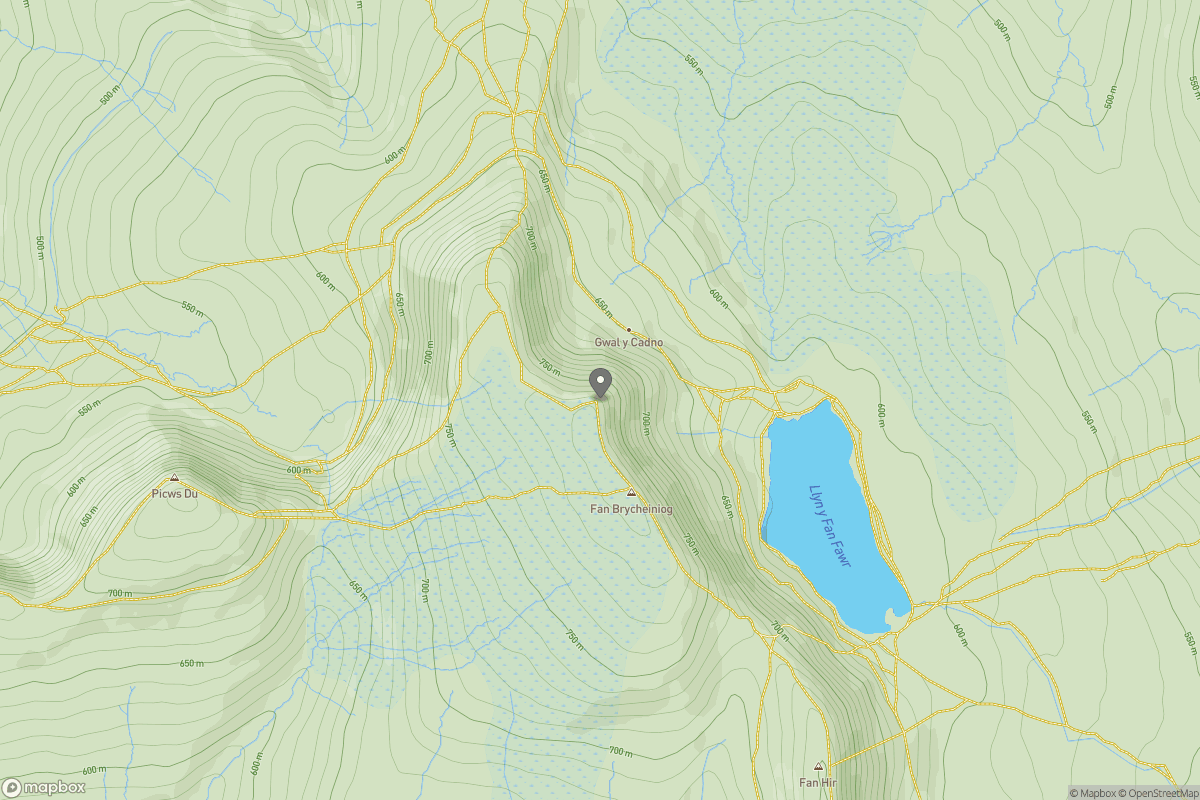
Upland / Hill
Circular
Hard
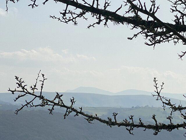
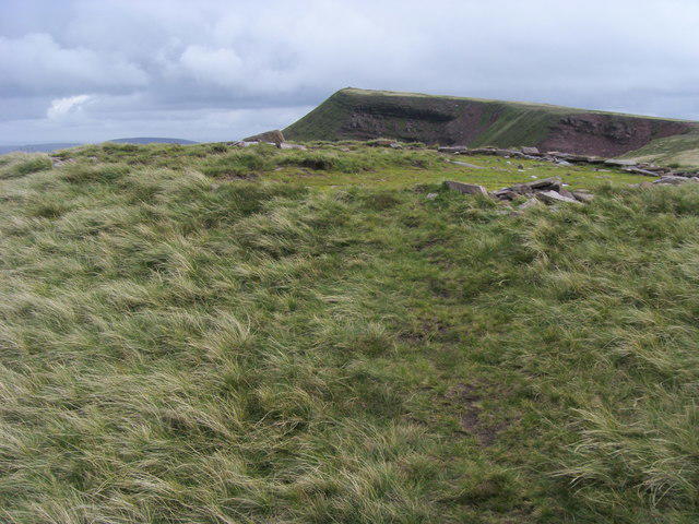
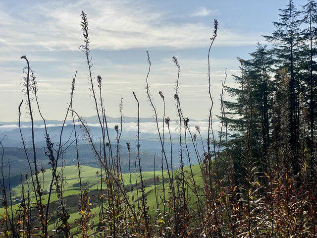
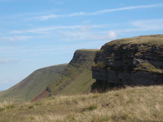
Aircraft Crash Site - Wellington Bomber and Vampire Jet (Black mountains)
PaulWalkmates
Walk organiser
No comments yet. Be the first.