

Fan Fawr
Good walks are even better shared.
SN9719 : Fan Fawr
Alan Hughes Photo source
Overview
Fan Fawr
Fan Fawr is a 734 m mountain west of the A470 in Fforest Fawr, Bannau Brycheiniog. Current DoBIH gives 294.6 m prominence and a 439.4 m key col. Its summit is unmarked ground 6 m WNW of the cairn, rather than a trig pillar. Primary record
Walking
Walking Britain publishes a 9.8 km complete circuit from Storey Arms via the Taff Trail and Craig Cerrig-gleisiad. It crosses open mountain ground and returns by a steep descent; its moderate grade does not remove the need for navigation. This total includes the return, without a separate trig-point visit. Full route
Take care at the A470 crossing, cliff edges and faint paths. NRW advises against climbing the reserve’s cliffs and scree, and asks walkers to keep dogs controlled around livestock. Reserve guidance
Landscape and travel
The mountain’s Old Red Sandstone setting is part of Fforest Fawr’s geological landscape. The Geopark translates Fan Fawr as “big peak”. Geology · Names
T4 serves Storey Arms; check current departures and your return connection. The nearby Pont ar Daf car park has toilets, but is separate from this route’s start. Storey Arms itself is an outdoor education centre. Bus stop · Facilities
Sources checked 18 October 2026. Imported survey and revision dates are retained as provenance, not represented as a new survey.
Explore routes near Fan Fawr
Walks starting near this hill. Open a route to check its map, distance and full itinerary.
Pen y Fan via Corn Du from Storey Arms
View route
Brecon Basin to Brynich Aqueduct: Canal Towpath Walk
View route
Aircraft Crash Site - Wellington Bomber and Vampire Jet (Black Mountain range)
View route
Merthyr Tydfil with Men Walking & Talking
View route
Route planning notes
These notes describe possible approaches. Check a route's map and access information when planning your walk.
Fan Fawr via Craig Cerrig-gleisiad from Storey Arms
Walking Britain’s 9.8 km full circuit starts and finishes opposite Storey Arms, SN982203: Taff Trail north, careful A470 crossing, Craig Cerrig-gleisiad rim, open ground to Fan Fawr, then the steep northern descent. Faint paths need navigation. Visit the recorded high ground 6 m WNW of the cairn; no trig-point detour is included. Source: https://www.walkingbritain.co.uk/walk-3616-description
Make a day of it, together
Find someone to share the walk with, or organise a day out along a route you like.
Photo Gallery
View all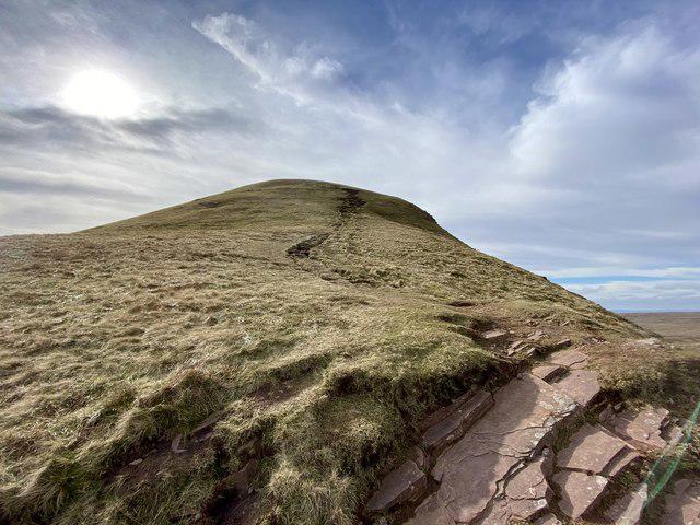 Photo could not load
SN9719 : Fan Fawr
Alan Hughes
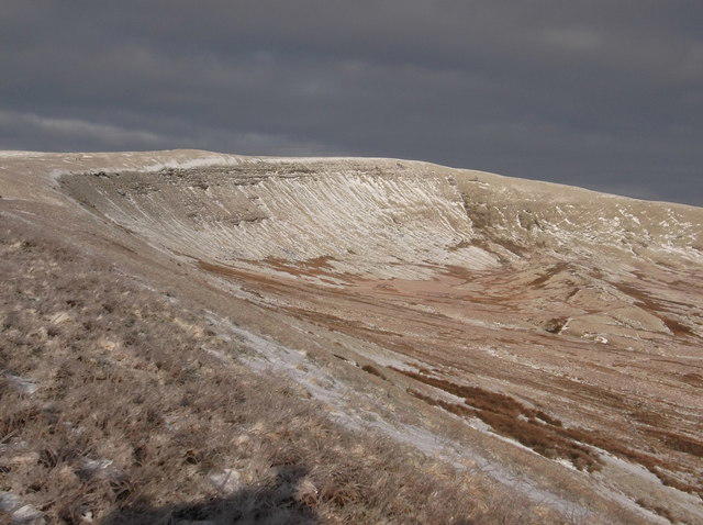 Photo could not load
SN9719 : Cefn yr Henriw
Kevin Corcoran
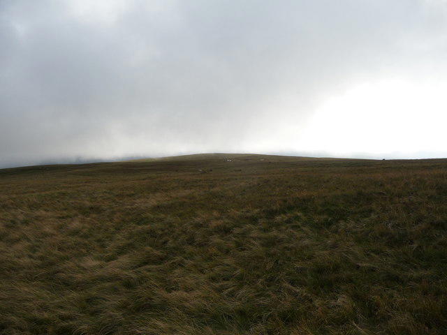 Photo could not load
SN9619 : On Fan Fawr
Jeremy Bolwell
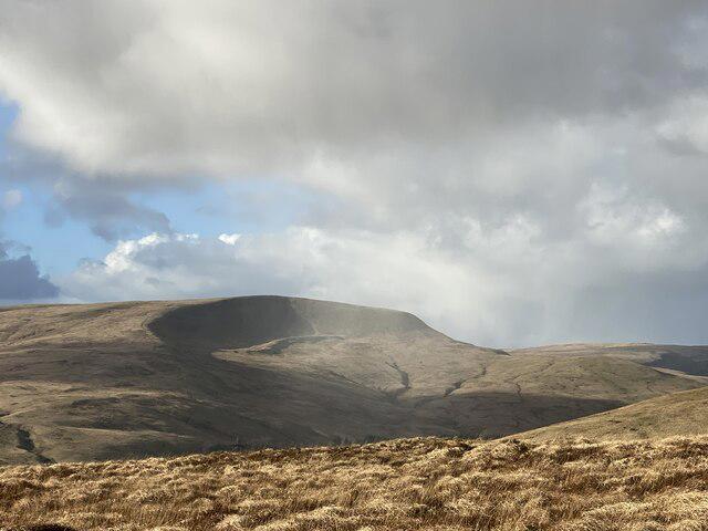 Photo could not load
SN9619 : Weather closing in over Fan Fawr
Alan Hughes
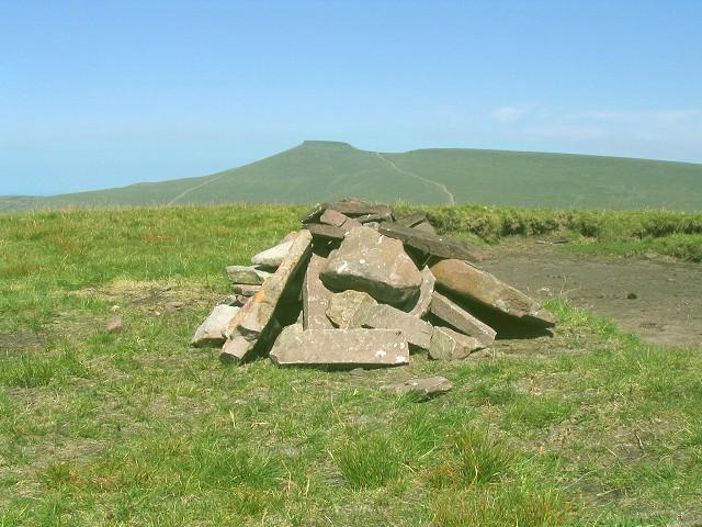 Photo could not load
SN9619 : Summit of Fan Fawr
Nigel Davies
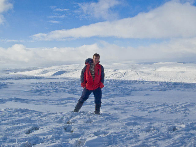 Photo could not load
SN9619 : Fan Fawr
steve evans
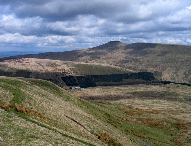 Photo could not load
SN9619 : Path at summit of Fan Fawr
Trevor Littlewood
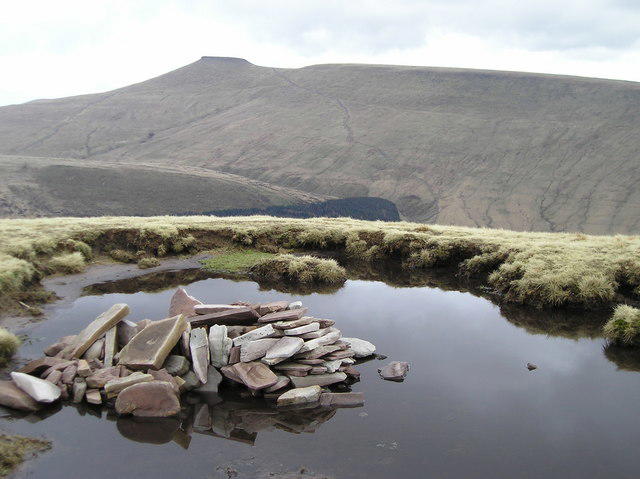 Photo could not load
SN9619 : Stones on the summit of Fan Fawr
Chris Andrews
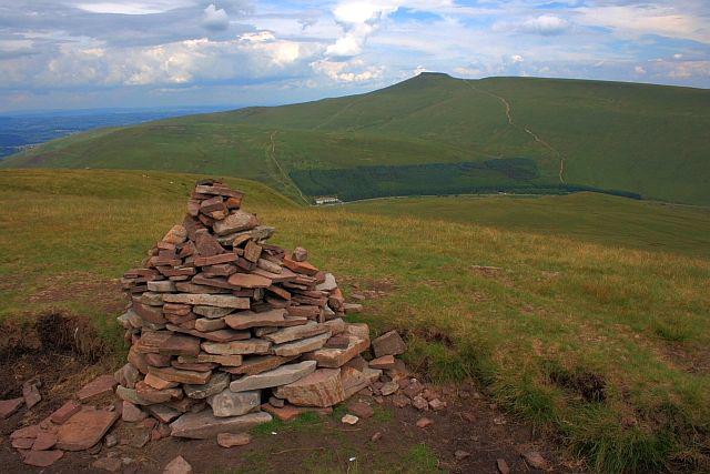 Photo could not load
SN9619 : Summit Cairn, Fan Fawr
Mick Garratt
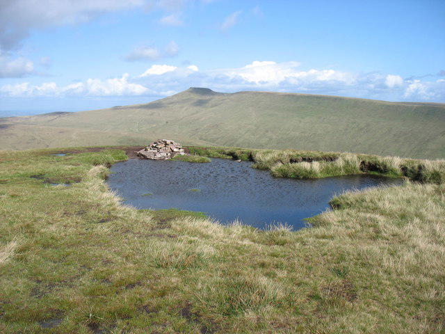
SN9619 : The summit of Fan Fawr
David Purchase
Hill facts and local notes
Classifications
Elevation
734m
2,408 ft
Prominence
295m
Coordinates
51.8633, -3.4974
SN969193
OS Map
160
Explorer: OL12E
At the Summit
The recorded summit is unmarked ground 6 m WNW of the cairn, at SN9698919369. A trig pillar is not the summit feature.
Terrain & Geology
Fan Fawr is mainly composed of Old Red Sandstone, with rugged cliffs and gentle slopes, offering unique geological features that have formed over millions of years.
Views & Scenery
Panoramic views of the surrounding Brecon Beacons, including Pen y Fan and the Taf Fechan valley, and on clear days, the Black Mountains.
History & Heritage
Name Origin
The name 'Fan Fawr' translates to 'Big Peak' in Welsh, reflecting its impressive stature in the landscape.
Getting There & Facilities
Parking
The published 9.8 km circuit starts at the car park opposite Storey Arms Outdoor Education Centre, SN982203. Spaces may fill; obey current signs. Pont ar Daf is a separate National Trust car park nearby, and changing the start changes the route length.
Public Transport
Transport for Wales lists T4 at Storey Arms. Check the current service and return departure for your date, and plan any A470 crossing carefully.
Nearby Facilities
National Trust lists toilets at the separate Pont ar Daf car park. Storey Arms is an outdoor education centre; a public cafe service there has not been verified. Carry food and water.
Safety Information
Known Hazards
- The circuit crosses the A470; take particular care with fast traffic.
- Keep away from cliff and scree edges at Craig Cerrig-gleisiad. Parts of the summit approach and descent have faint paths; use a map and compass.
- Wet ground can be slippery and weather changes quickly. Carry suitable mountain clothing and turn back if conditions exceed your skills.
- The reserve has cattle and sheep between May and October and ponies year-round; keep dogs under close control and obey local signs.
General Safety Tips
- Check weather conditions before setting out
- Carry appropriate clothing and equipment
- Let someone know your planned route
- Take a map, compass, and GPS device
- Carry emergency supplies: food, water, first aid kit, torch
Hills
Some common questions about the hills answered
Are there group walks up Fan Fawr?
Many walkers use Walkmates to join or organise walks with others. You can check for group walks around Fan Fawr through the maps
Are there other walkers around Fan Fawr?
Activity varies by location and time, but Walkmates lets you see whether others have shared walks or shown interest in this area. Find other people through the walking friends search walking friends for Fan Fawr search or of course create your own walk for Fan Fawr
Can I organise a walk to Fan Fawr?
Yes. If there aren’t any walks listed already, you can create a walk and make it available for others to join.
If you're signed up to Walkmates, you can create a walk to Fan Fawr.
How do I find a walk up this hill?
There are often multiple ways to walk this hill, depending on experience and route preference. Walkmates helps you explore walks and routes that others have shared.
Can I suggest a new route up Fan Fawr?
Yes. You can suggest or create routes to share with others. Walkmates focuses on the social side of walking, so routes are used to help people organise walks and explore areas together, rather than as detailed navigation tools or route libraries.
Other uses really appreciate knowledgeable walkers sharing their routes. Share your favourite route to Fan Fawr here
The is an error or something incorrect about this hill. How do I let you know?
We always strive to keep the information on Walkmates as accurate as possible. If you find an error, please let us know through the contact form and we'll aim to correct it as quickly as possible
Community Discussion
Comments
Location
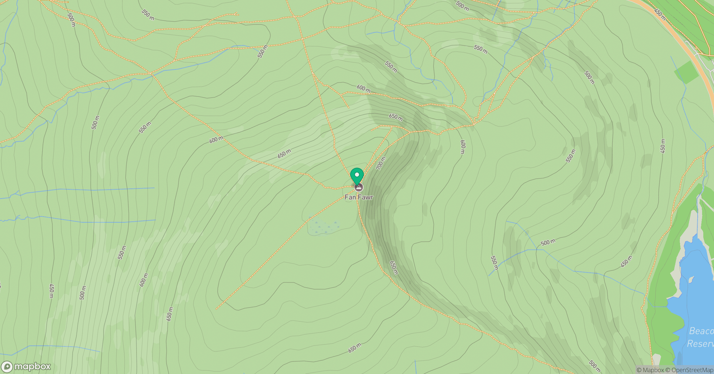
Grid reference: SN969193
View on OpenStreetMapOpens a map in a new tab, centred on the hill.


No comments yet. Be the first.