

Sgurr na Moraich
Good walks are even better shared.
Overview
Sgurr na Moraich: A Hiker's Haven
Nestled in the stunning Scottish Highlands, Sgurr na Moraich boasts an impressive height of 944 meters, making it a celebrated Munro for outdoor enthusiasts. This rugged beauty offers not only a physical challenge but also a visual feast for those willing to venture its slopes.
Geology
The mountain's composition primarily consists of schist and gneiss, both characteristic of the Lewisian Complex. This ancient rock formation is a testament to the geological forces at play in the Highlands, showcasing a landscape where time seems to stand still.
Routes
The most popular route is the Coire na Cloiche Route, which spans approximately 10 km round trip and takes about 5 hours to complete. While it’s mainly classified as moderate, expect a fair bit of uphill walking—your calves might remind you of this climb!
Summit Features
Upon reaching the summit, hikers are greeted by a large cairn that not only marks the peak but also serves as a perfect spot for a well-deserved rest. The views from here are truly spectacular.
Terrain Type
The terrain is primarily rugged, with rocky outcrops interspersed among grassy slopes. Be mindful of the occasional boggy section that could test your footing, turning a simple hike into a comedy of errors!
Views
From the summit, you'll be treated to panoramic views of Loch Nevis and the Small Isles, as well as the dramatic outline of Knoydart. To catch the best views, try to hike in spring or early summer when nature really puts on a show with vibrant wildflowers.
Hazards
As always with the unpredictable Scottish weather, conditions can change faster than you can say 'bring a jacket'. Rain and snow can occur at any time of year, so pack accordingly. The terrain can also be unforgiving; stay cautious on rocky sections.
Nearby Summits
If you're feeling particularly sprightly, nearby peaks like Sgurr Fhuarail (919 m) and Meall na h-Eilde (827 m) await exploration, ensuring your Munro-bagging quest continues.
Access
To get to Sgurr na Moraich, park in the small area near Ardgour. Public transport from Fort William is an option, though services can be limited, so double-check before your trek. Fort William—just 30 minutes' drive away—is your best bet for facilities.
Facilities
Head over to Fort William for the nearest cafes, shops, and public toilets to replenish and refresh after conquering Sgurr na Moraich.
History
The name Sgurr na Moraich—meaning Peak of the Mourning—evokes the poignant yet stunning nature of the Scottish Highlands. Historically, this majestic peak has drawn both climbers and storytellers, rooted in tales from the turbulent Jacobite past.
Pack your boots, grab your map, and embark on an adventure that promises to both challenge and thrill. Happy hiking!
Explore routes near Sgurr na Moraich
Public walks starting within 80 km of this hill. Nearby does not mean a route reaches the summit; check its map and access before setting out.
Loch Affric full circuit from River Affric
View route
Glen Affric: Coire Loch Woodland Trail
View route
Beinn Eighe Lancaster Wreckage at Coire Mhic Fhearchair
View route
Fort Augustus to Kytra Lock: Caledonian Canal Towpath
View route
Route planning notes
These notes describe possible approaches, not verified navigable routes or permission to cross land. Check current paths, local access rules and conditions before setting out.
The Coire na Cloiche Route
A scenic route starting from the small community of Ardgour, winding through picturesque glens and steep ascents towards the summit.
Make a day of it, together
Find someone to share the walk with, or organise a day out along a route you like.
Photo Gallery
View all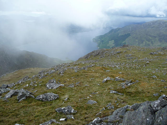 Photo could not load
NG9619 : North-west ridge of Sgurr na Moraich
John Allan
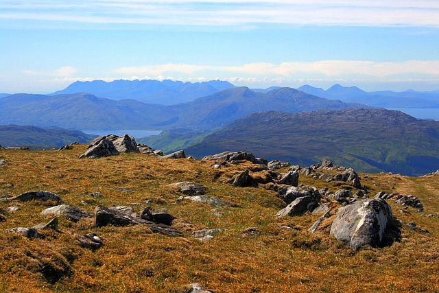 Photo could not load
NG9619 : View From the Summit of Sgùrr na Mòraich
Mick Garratt
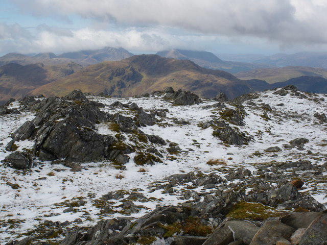 Photo could not load
NG9619 : Sgurr na Moraich
Simon Waddicor
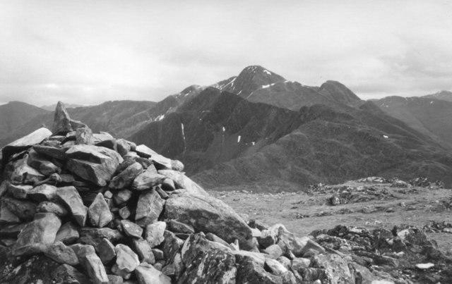 Photo could not load
NG9619 : Summit cairn, Sgurr na Moraich
Jim Barton
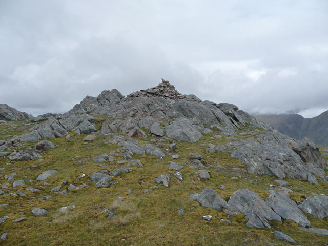 Photo could not load
NG9619 : Summit cairn of Sgurr na Moraich
John Allan
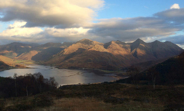 Photo could not load
NG9619 : Five Sisters of Kintail
Carron K
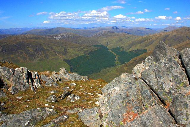 Photo could not load
NG9619 : View From the Summit of Sgùrr na Mòraich
Mick Garratt
Hill facts and local notes
Classifications
Elevation
876m
2,873 ft
Prominence
137m
Coordinates
57.2193, -5.3710
NG965193
OS Map
33
Explorer: 413N 414N
At the Summit
The summit is crowned with a sizable cairn, providing a great viewpoint for weary hikers to rest and take in the surroundings.
Terrain & Geology
Sgurr na Moraich is formed primarily of schist and gneiss, typical of the Lewisian Complex, showcasing ancient geological processes.
Views & Scenery
Panoramic views of Loch Nevis, the Small Isles, and the rugged terrain of Knoydart can be enjoyed from the top.
History & Heritage
Name Origin
Sgurr na Moraich translates to 'Peak of the Mourning', believed to reflect the dramatic landscape and the haunting beauty of the area.
Historical Significance
The mountain has been a popular spot for both climbers and historians, often tied to tales of the Jacobite uprisings.
Getting There & Facilities
Check current local access restrictions, parking rules and transport timetables before travelling. These notes do not confirm public access to the summit.
Parking
There's a small parking area near the starting point at Ardgour, suitable for about 5-6 cars.
Public Transport
Buses operate from Fort William to Ardgour, but service may be limited, so check ahead.
Nearby Facilities
The nearest facilities are in Fort William, which offers cafes, shops, and public toilets.
Safety Information
Known Hazards
- Variable weather conditions can lead to rapid changes; always be prepared for rain or snow, even in summer.
General Safety Tips
- Check weather conditions before setting out
- Carry appropriate clothing and equipment
- Let someone know your planned route
- Take a map, compass, and GPS device
- Carry emergency supplies: food, water, first aid kit, torch
Hills
Some common questions about the hills answered
Are there group walks up Sgurr na Moraich?
Many walkers use Walkmates to join or organise walks with others. You can check for group walks around Sgurr na Moraich through the maps
Are there other walkers around Sgurr na Moraich?
Activity varies by location and time, but Walkmates lets you see whether others have shared walks or shown interest in this area. Find other people through the walking friends search walking friends for Sgurr na Moraich search or of course create your own walk for Sgurr na Moraich
Can I organise a walk to Sgurr na Moraich?
Yes. If there aren’t any walks listed already, you can create a walk and make it available for others to join.
If you're signed up to Walkmates, you can create a walk to Sgurr na Moraich.
How do I find a walk up this hill?
There are often multiple ways to walk this hill, depending on experience and route preference. Walkmates helps you explore walks and routes that others have shared.
Can I suggest a new route up Sgurr na Moraich?
Yes. You can suggest or create routes to share with others. Walkmates focuses on the social side of walking, so routes are used to help people organise walks and explore areas together, rather than as detailed navigation tools or route libraries.
Other uses really appreciate knowledgeable walkers sharing their routes. Share your favourite route to Sgurr na Moraich here
The is an error or something incorrect about this hill. How do I let you know?
We always strive to keep the information on Walkmates as accurate as possible. If you find an error, please let us know through the contact form and we'll aim to correct it as quickly as possible
Community Discussion
Comments
Location
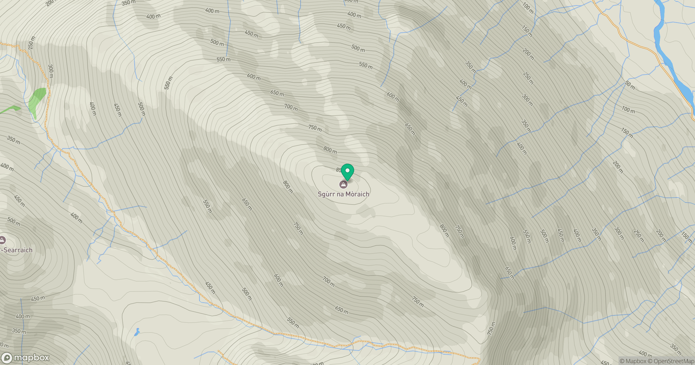
Grid reference: NG965193
View on OpenStreetMapOpens a map in a new tab, centred on the hill.
Hills within 30 km
Straight-line distance, not a walking route or confirmation of access.
Sgurr Fhuaran
1,069m
Sgurr a' Mhaoraich
1,027m
An Caisteal
622m
Gleouraich
1,035m
Beinn Sgritheall
974m
No comments yet. Be the first.