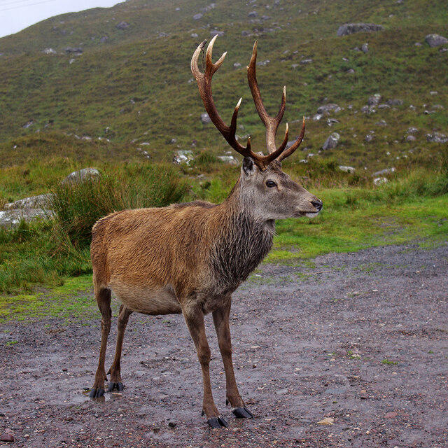
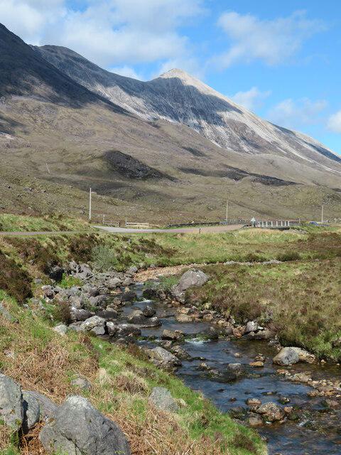
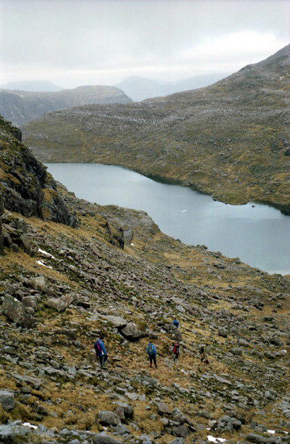
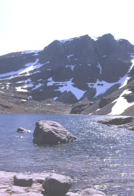
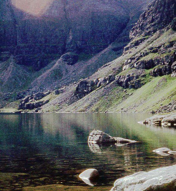
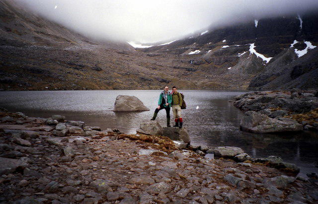
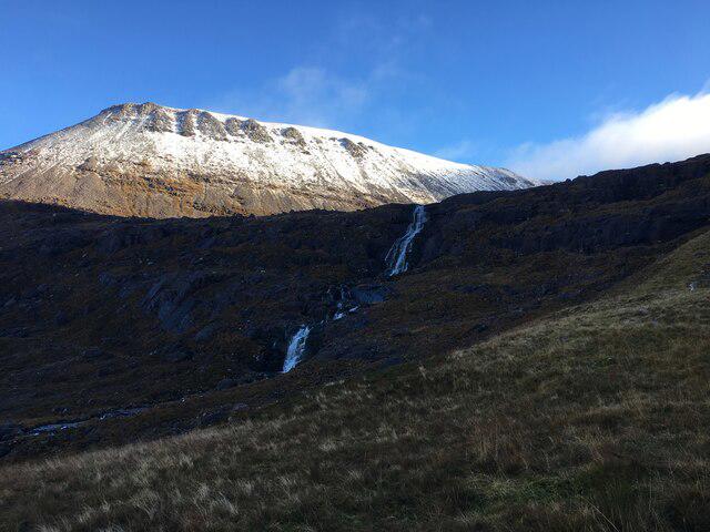
Image shared for Beinn Eighe Lancaster Wreckage at Coire Mhic Fhearchair
Upland / Hill Out & back

Beinn Eighe Lancaster Wreckage at Coire Mhic Fhearchair

Highland

Distance
10.0 mi
Est. time
6h
Difficulty
Hard
PaulWalkmates Route by PaulWalkmates

About this walk

Start in the Coire Dubh car park on the A896, just west of the bridge over Allt a' Choire Dhuibh Mhòir. Take the signposted stalkers' path north between Liathach and Beinn Eighe. The rocky climb passes above the burn and crosses it on stepping stones; turn back if the crossing is unsafe. At the large cairn beyond the small lochans, keep right for Coire Mhic Fhearchair.

The path contours around Sàil Mhòr and climbs stone steps beside the corrie's waterfalls. At Loch Coire Mhic Fhearchair, follow the western shore into the lower corrie, then the rough continuation to the battered propeller and memorial plaque below the Triple Buttress. Engines, wheels and other remains of Lancaster TX264 survive here. It crashed on 14 March 1951, killing all eight crew members. Leave every part in place and treat the site respectfully.

Return along the same shore and stalkers' path. This route stops at the lower wreckage and memorial. Do not climb Fuselage Gully or continue onto the mountain ridges: the gully is steep, loose climbing terrain. Even this lower visit needs experienced hillwalkers, sure footing over boulders, a full mountain weather check and an offline map with backup navigation. Snow, high burns and strong wind can make the outing unsuitable.

Allow six hours for the long approach, around 550 metres of ascent and time at the wreck. There are no facilities at the car park or in the corrie. Check the reserve's current access information before travelling.

Route researched from Walkhighlands' corrie roadbook, NatureScot's reserve guidance and former RAF rescue leader David Whalley's account of visiting the lower wreckage. Map data © OpenStreetMap contributors (ODbL).

Walk details

County
Highland
Walk type
Out & back
Category
Upland / Hill
Distance
10.0 mi (16.0 km)
Est. time
6h
Explorer
Yes, off the beaten track

Route map

Use the route details to plan your walk

If the map image does not load, the route description and starting-point details are still on this page.

The interactive map will load when you reach this section.

Where to start

Directions to start

Walking on your own?

Start when you're ready and add the walk to your history. No group date needed.

This walk is waiting for a date

Not ready to pick a date? Follow it and you'll hear when somebody else does.

No commitment. You can follow it now and pick a date later.

Joining a walk

A few things to know before you make plans.

Can I join if no one else is going?

You can be the first to join a scheduled walk. A suggested date is an idea for a group walk; choose Set this date up to organise it. Check the participant list and meeting details before setting off.

What if there is no date yet?

Choose Put a date on this walk to organise a group walk. Not ready to choose a day? Follow the route for scheduling updates, or save it for later.

What does the organiser do?

The organiser sets the date and meeting details and helps the group get started. They are a fellow walker and may be new to the route too.

Each walker is responsible for their own safety and navigation. Check the route, weather, equipment and whether the walk suits your experience and fitness.

Can I walk this route on my own?

Yes. Choose Walk this route on your own to open the start screen, then start when you are ready. Finish the walk to add it to your walking history. You do not need a group date.

What happens after I join?

Use the walk page to check meeting details, updates and who is going. Check in from 24 hours before the start to let the group know you still plan to come.

How do I confirm plans with the group?

Check the participant list and check-ins, and message the organiser or other walkers to confirm where to meet and who is coming. This is especially useful when the group is small.