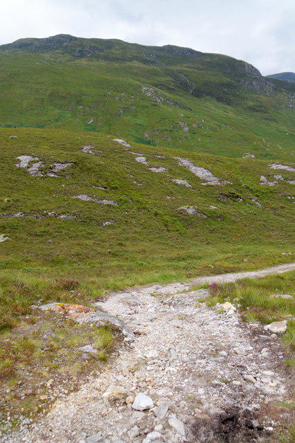
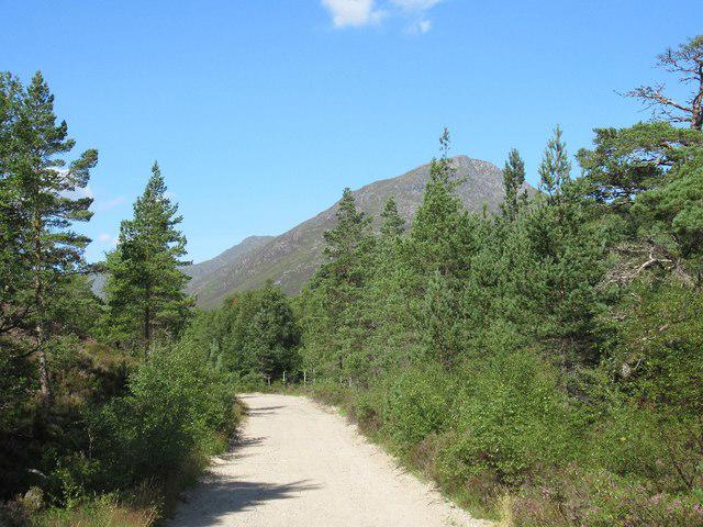
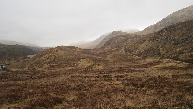
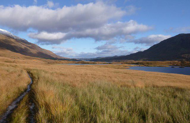
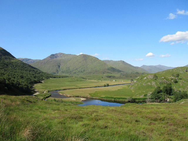
A full circuit of Loch Affric through Caledonian pinewoods and open Highland glen, with broad mountain views from both sides. Follow the established north-side path above Affric Lodge, round the western end via Strawberry Cottage and return on the southern forest track. This is a long, remote walk with rough ground and unbridged burns that can become impassable after heavy rain. Carry reliable navigation and full outdoor kit; turn back rather than attempt an unsafe crossing.
Start and parking: Use River Affric public car park, at the end of the glen road. Start at the mapped road-end walking departure inside the car park. The approach road is single track with passing places. The Cannich village postcode is not the trailhead. FLS currently charges £5 all day for a car, payable by coins, card or RingGo; Blue Badge holders park free with their badge displayed. The ticket covers all four Glen Affric sites. Toilets are normally open from 1 April to 31 October. Daily gate times were not stated. Overnight parking for mountain access is permitted with payment for each day, but camping or sleeping in vehicles is prohibited.
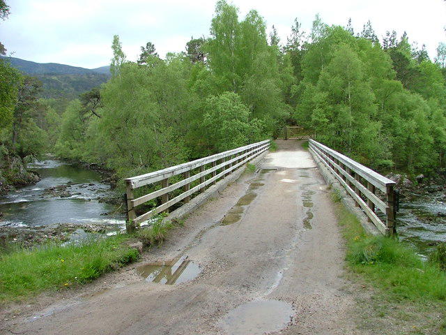
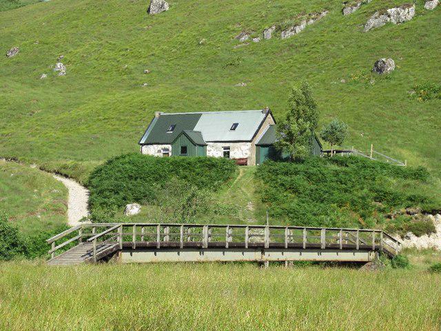
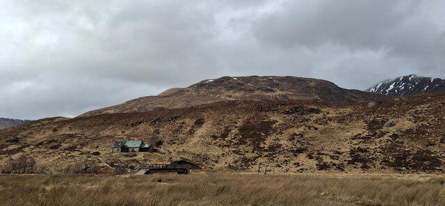
Route and access: Take the north-side path first and follow the public walking bypass above Affric Lodge, keeping out of private grounds, driveways and the private bridge. Pass through the two woodland-enclosure kissing gates. Cross the western River Affric bridge near Strawberry Cottage and use the connected footpath and second bridge to reach the southern main track. Return along that track and the eastern bridge to the car park. Do not extend west to Alltbeithe, use the vehicle ford or add lower boggy shore alternatives. Cottages and huts are landmarks; access to their facilities is not promised.
Water and remote-terrain warning: North-side burns are unbridged, including Allt Coulavie. Rain and spate can make the circuit impassable. Never attempt a dangerous crossing or improvise an alternative across fast water; turn back. Low elevation does not make this a short or sheltered outing. Carry food, waterproofs, reliable navigation and an offline map, and allow enough daylight. Phone reception is poor and the full circuit is not comprehensively waymarked. Rough ground, wet paths, gates and a cattle grid mean no wheelchair, pushchair or all-weather suitability is claimed. Keep dogs under close control near wildlife and livestock.
Distance and time: The complete plotted route measures 17.487 km. Current route guides round this to about 18 km. Allow 4½–6½ hours walking plus breaks; 5½ hours is a central planning estimate. The published 330 m ascent has not been independently recomputed.
Key official visitor and alert pages were rechecked on 23 October 2026. They showed tick and open-water notices but no route-specific closure. Detailed route research was checked on 22 October. This is desk research, not a field inspection or a live water-level check. Follow current notices and turn back whenever conditions are unsafe.
Route, access and visitor sources: https://forestryandland.gov.scot/visit/destinations/river-affric/activities https://forestryandland.gov.scot/visit/destinations/river-affric/visitor-information https://forestryandland.gov.scot/visit/destinations/river-affric/local-alerts https://forestryandland.gov.scot/media/dd5dprdp/glen-affric-lmp-complete-appendices-170221.pdf https://www.walkhighlands.co.uk/lochness/Lochaffric.shtml
Route geometry: © OpenStreetMap contributors, ODbL 1.0. https://www.openstreetmap.org/copyright