

Moruisg
Good walks are even better shared.
NH1049 : Moruisg
Richard Webb Photo source
Overview
Moruisg: A Stalwart of the Scottish Highlands
Introduction
Nestled among the picturesque surroundings of the Scottish Highlands, Moruisg stands proudly as a Munro at an elevation of 678 meters. Known for its stunning vistas and diverse terrain, this mountain is a must-visit for enthusiasts eager to bag another peak while soaking up the natural beauty of the region.
Geology
Moruisg is primarily composed of granite, giving it a rugged character that’s both beautiful and intriguing. The nearby schist adds to the geological tapestry of the landscape, providing hikers with an excellent opportunity to observe various geological formations shaped by the relentless forces of nature.
Routes
The most straightforward way to conquer Moruisg is via the North-east Ridge Route, which begins at a small car park near Lochan Mor. Not only does it offer an engaging climb, but this route also grants hikers stunning views of the surrounding lochs, especially in the early morning light. The round trip is approximately 9 km and ordinarily takes about 4 hours, making it a solid half-day adventure ideal for a weekend romp.
Terrain
Be prepared for a delightful mix of rocky paths and gentle grassy slopes, but do mind the occasional boggy area. Think of it as nature’s natural obstacle course—though a bit of mud dancing is advised here and there!
Summit Features
At the top, you'll find a substantial cairn and a lovely stone shelter, perfect for unfurling a packed lunch or simply enjoying the commanding views that stretch over the Highlands. Don't forget your camera; those selfies against the sweeping landscapes will definitely light up your social media!
Views
The summit of Moruisg delivers jaw-dropping panoramas of surrounding peaks, particularly the breathtaking Torridon mountains to the west and the tranquil Loch Fannich to the east. For the best experience, aim to visit in late spring or autumn when the wildflowers and heather paint the hillsides in a riot of colour.
Hazards
As splendid as Moruisg is, caution is key. Sudden weather changes can occur—be prepared for sun one minute and rain the next. Always pack a waterproof layer! Also, keep an eye out for slippery rocks and be sure to avoid the dreaded midges during the warmer months.
Access
Accessing Moruisg is fairly easy! The nearest parking area is conveniently located at NH 100 494. However, if you’re relying on public transport, your best bet is to catch a bus to nearby Ullapool before planning your journey.
Facilities
While the mountain itself offers no facilities, nearby Ullapool is brimming with cafes, shops, and other amenities to refresh you post-hike.
History
Interestingly, the name 'Moruisg' translates to 'big wet place' in Gaelic, likely alluding to the lochs scattered throughout the region. It is also a key destination for Munro-baggers, adding to its significance among the peaks of Scotland.
Conclusion
In summary, Moruisg is a diamond in the rough of the Scottish Highlands that promises adventure, spectacle, and a good dose of fresh air. Whether you’re ticking off another Munro or simply enjoying the brilliant landscapes, Moruisg is bound to leave a lasting impression.
Remember
As always, stay safe, cherish the environment, and perhaps pack a wee extra snack or two—after all, the journey back down can work up quite the appetite!
Explore routes near Moruisg
Walks starting near this hill. Open a route to check its map, distance and full itinerary.
Beinn Eighe Lancaster Wreckage at Coire Mhic Fhearchair
View route
Glen Affric: Coire Loch Woodland Trail
View route
Fairy Lochs Liberator Wreckage Circuit
View route
Fort Augustus to Kytra Lock: Caledonian Canal Towpath
View route
Route planning notes
These notes describe possible approaches. Check a route's map and access information when planning your walk.
North-east Ridge Route
This route starts from the small car park near Lochan Mor, offering a gradual ascent with stunning views of the surrounding lochs.
Make a day of it, together
Find someone to share the walk with, or organise a day out along a route you like.
Photo Gallery
View all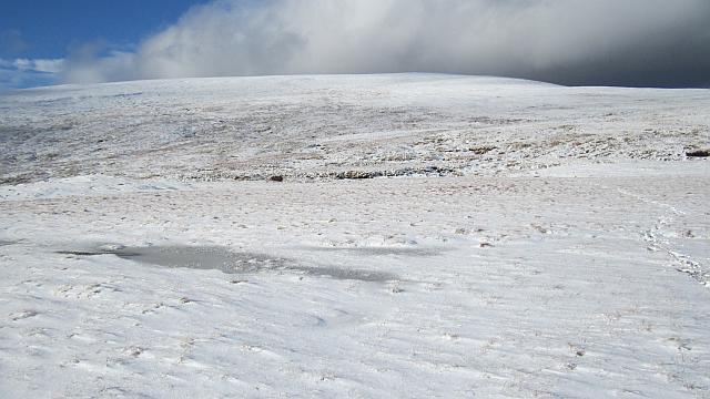 Photo could not load
NH1049 : Moruisg
Richard Webb
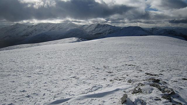 Photo could not load
NH1049 : Summit, Moruisg
Richard Webb
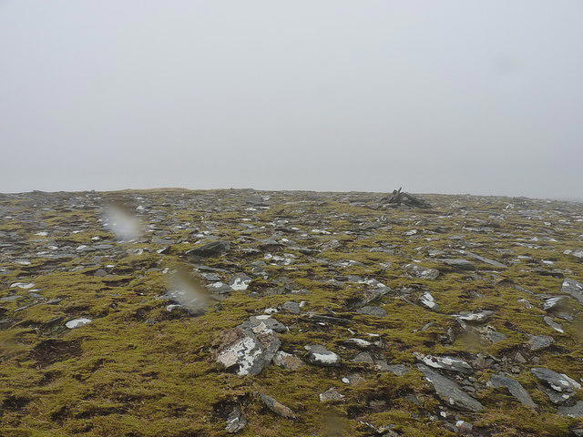 Photo could not load
NH1050 : Subsidiary cairn near the summit of Moruisg
Richard Law
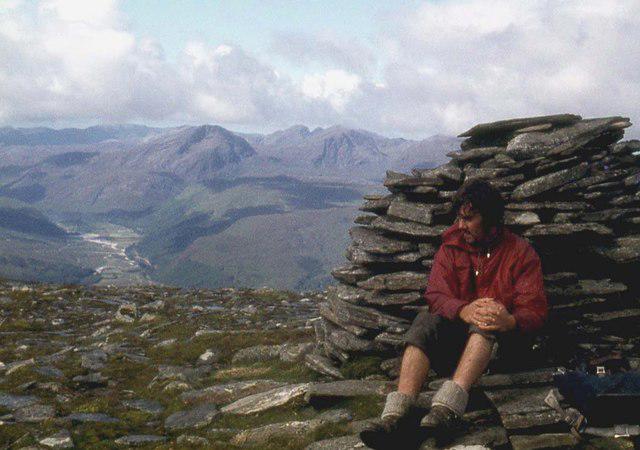 Photo could not load
NH1049 : Westwards from the summit cairn on Moruisg
Alan Reid
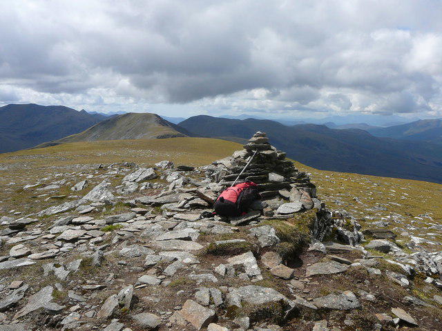 Photo could not load
NH1049 : The summit cairn on Moruisg
Colin Park
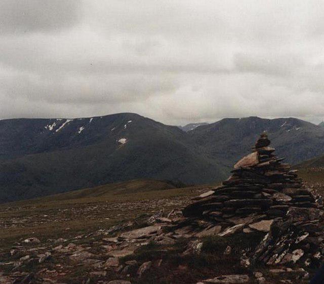 Photo could not load
NH1049 : Cairn, Moruisg
David Brown
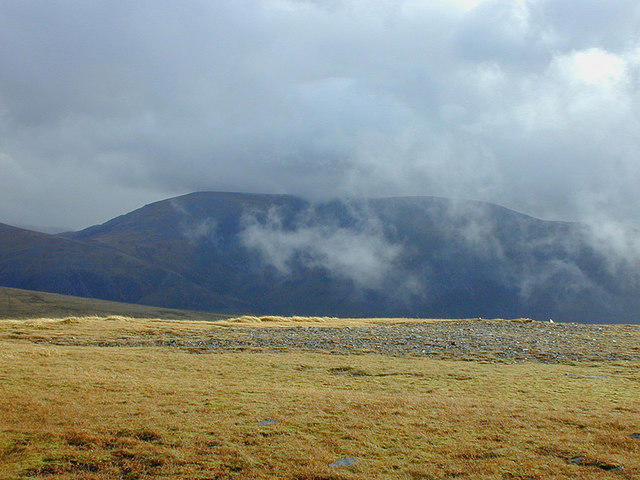 Photo could not load
NH1049 : View south east from Moruisg
Nigel Brown
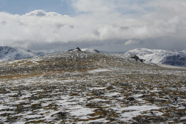 Photo could not load
NH1049 : Summit plateau and cairn, Moruisg
Nic Bullivant
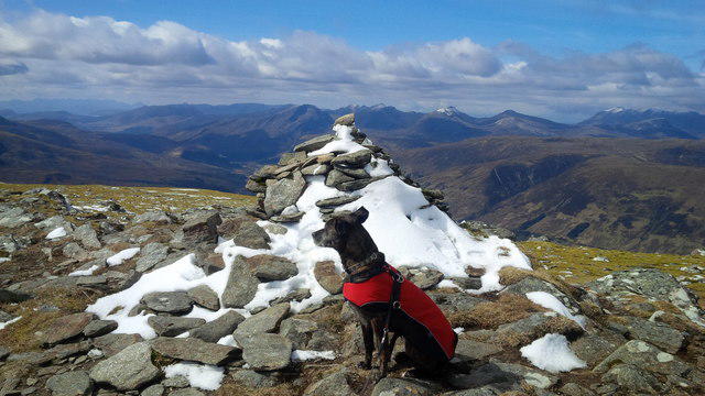 Photo could not load
NH1049 : Summit cairn, Moruisg
Alpin Stewart
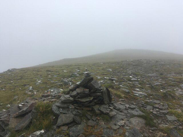
NH1049 : Small cairn at the true summit of Moruisg
Steven Brown
Hill facts and local notes
Classifications
Elevation
926m
3,037 ft
Prominence
592m
Coordinates
57.4997, -5.1706
NH101499
OS Map
25
Explorer: 429 430
At the Summit
The summit features a large cairn and a stunning panoramic view of the surrounding glens, with a stone shelter for a quick break and a snack (or two) if you're feeling peckish.
Terrain & Geology
Moruisg is primarily composed of granite with some schist in the surrounding areas. The rugged terrain provides excellent insights into geological processes such as erosion and glaciation.
Views & Scenery
From the summit, one can see the majestic peaks of the Torridon mountains to the west, and glimpses of Loch Fannich to the east.
History & Heritage
Name Origin
The name 'Moruisg' is derived from the Gaelic for 'big wet place,' likely referring to the numerous lochs dotting the landscape.
Historical Significance
Moruisg is a popular choice among Munro-baggers, adding to its cultural significance as a notable climbing destination in the Scottish Highlands.
Getting There & Facilities
Parking
There is a small parking area near Lochan Mor at NH 100 494, providing enough space for several cars.
Public Transport
Public transport options are limited, but you can reach nearby villages like Dundonnell via bus services from Ullapool.
Nearby Facilities
There are no facilities on the mountain itself, but Ullapool offers plenty of amenities, including cafes, shops, and public toilets.
Safety Information
Known Hazards
- Watch out for sudden weather changes, as conditions can shift quickly in the Highlands. Also, be cautious of slippery rocks and the occasional midges in summer!
General Safety Tips
- Check weather conditions before setting out
- Carry appropriate clothing and equipment
- Let someone know your planned route
- Take a map, compass, and GPS device
- Carry emergency supplies: food, water, first aid kit, torch
Hills
Some common questions about the hills answered
Are there group walks up Moruisg?
Many walkers use Walkmates to join or organise walks with others. You can check for group walks around Moruisg through the maps
Are there other walkers around Moruisg?
Activity varies by location and time, but Walkmates lets you see whether others have shared walks or shown interest in this area. Find other people through the walking friends search walking friends for Moruisg search or of course create your own walk for Moruisg
Can I organise a walk to Moruisg?
Yes. If there aren’t any walks listed already, you can create a walk and make it available for others to join.
If you're signed up to Walkmates, you can create a walk to Moruisg.
How do I find a walk up this hill?
There are often multiple ways to walk this hill, depending on experience and route preference. Walkmates helps you explore walks and routes that others have shared.
Can I suggest a new route up Moruisg?
Yes. You can suggest or create routes to share with others. Walkmates focuses on the social side of walking, so routes are used to help people organise walks and explore areas together, rather than as detailed navigation tools or route libraries.
Other uses really appreciate knowledgeable walkers sharing their routes. Share your favourite route to Moruisg here
The is an error or something incorrect about this hill. How do I let you know?
We always strive to keep the information on Walkmates as accurate as possible. If you find an error, please let us know through the contact form and we'll aim to correct it as quickly as possible
Community Discussion
Comments
Location
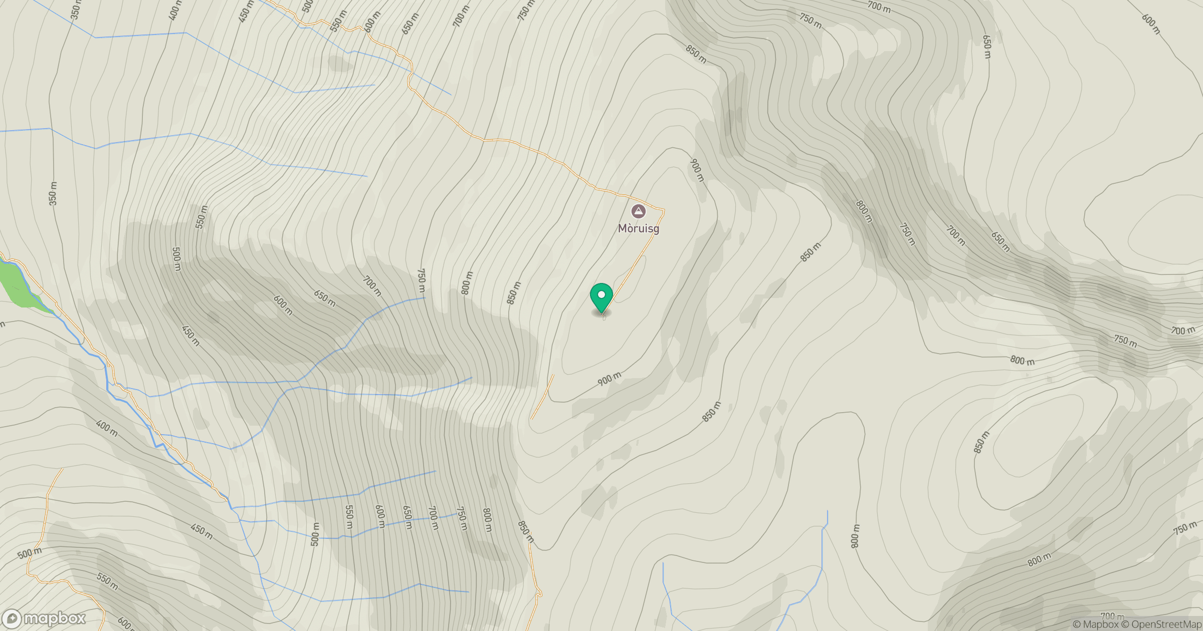
Grid reference: NH101499
View on OpenStreetMapOpens a map in a new tab, centred on the hill.
No comments yet. Be the first.