

Meall nam Maigheach
Good walks are even better shared.
NN5843 : Outcrops on Meall nan Maigheach ('hill of hares')
Alan O'Dowd Photo source
Overview
Meall nam Maigheach
Located in the picturesque Scottish Highlands, Meall nam Maigheach stands tall at 845 meters. Known for its majestic beauty and remarkable views, it's a favourite among hikers looking for a rewarding experience.
Geology
This mountain is predominantly made of granite and schist, forming a stunning landscape with noticeable rock outcrops and glacial features. The area's geology not only creates a diverse range of habitats but also adds to its wilderness charm.
Routes
There are two main routes to tackle this Munro:
- North-East Ridge Route: About 8.5 km of delightful hiking, typically taking around 4.5 hours. Ideal for the seasoned hiker looking for a direct ascent.
- Glen Lyon Approach: This 10 km route is perfect for those seeking a gentle stroll through scenic landscapes, generally taking around 5 hours.
Summit Features
Once at the summit, you'll encounter a towering stone cairn—a perfect spot to pose for that summit selfie! Be sure to take a moment to appreciate the surrounding natural beauty.
Terrain
Expect a mix of rocky and grassy terrain, along with some boggy sections at the lower levels. Good footwear is advised, preferably something that can handle the odd slippery patch!
Views
The views from the top are nothing short of spectacular. On clear days, you can gaze upon the Ben Lawers, with the expansive Glen Lyon stretching away beneath you. Spring and early autumn are particularly magical times, painting the landscape in rich colours.
Hazards
On your epic quest, keep in mind that the weather can change faster than a Highlander's mood! Be cautious of slippery paths and steep edges, particularly near the summit. Always check the forecast and don’t hike alone.
Nearby Summits
If you're feeling adventurous, why not tackle nearby peaks like Ben Lawers (1214 m) and Meall Corranaich (1069 m) while you're in the area?
Access
The mountain is fairly accessible, with a small car park available at the start of the North-East Ridge Route. The quaint town of Aberfeldy, about a 20-minute drive away, proudly boasts services like cafes for that well-deserved post-hike treat.
Facilities
Facilities including shops and public toilets can be found in Aberfeldy, making it a convenient stop for all hikers embarking on this adventure.
History
The name Meall nam Maigheach—translating to 'Hill of the Maidens' in Gaelic—adds a layer of intrigue to this beautiful peak. It echoes local legends and the rich history of Scottish clans that once roamed these rugged hills.
So, lace up your boots, pack your snacks, and get ready for a hike that’s truly grand. Remember, the memories you make on Meall nam Maigheach will be just as impressive as the views! Enjoy!
Explore routes near Meall nam Maigheach
Walks starting near this hill. Open a route to check its map, distance and full itinerary.
Killin: Falls of Dochart, Finlarig and Moirlanich Longhouse
View route
Kenmore: Drummond Hill Black Rock Trail above Loch Tay
View route
Aberfeldy: Glassie Woodland and River Tay Circular
View route
Loch Lubnaig: West Shore Railway Path from Ben Ledi Car Park
View route
Route planning notes
These notes describe possible approaches. Check a route's map and access information when planning your walk.
North-East Ridge Route
A popular ascent starting from the Glen Lyon area, offering a direct path to the summit with stunning views along the way.
Glen Lyon Approach
A more gentle approach from Glen Lyon, suitable for those looking to take in the scenery at a leisurely pace.
Make a day of it, together
Find someone to share the walk with, or organise a day out along a route you like.
Photo Gallery
View all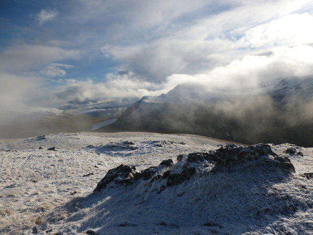 Photo could not load
NN5843 : Outcrops on Meall nan Maigheach ('hill of hares')
Alan O'Dowd
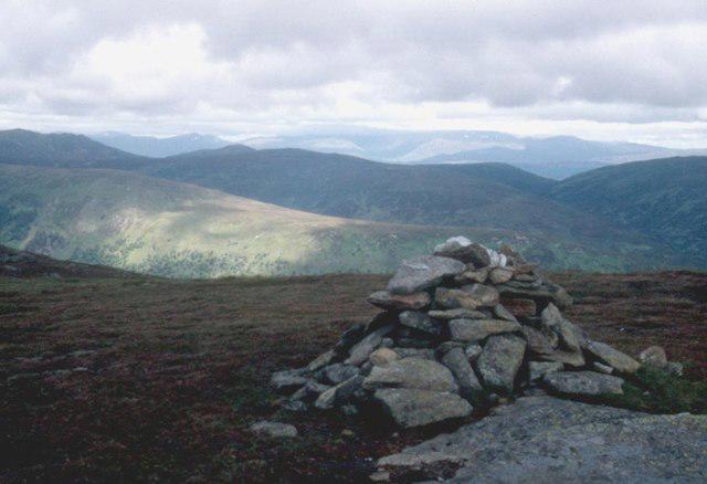 Photo could not load
NN5843 : Meall nam Maigheach
Alan Reid
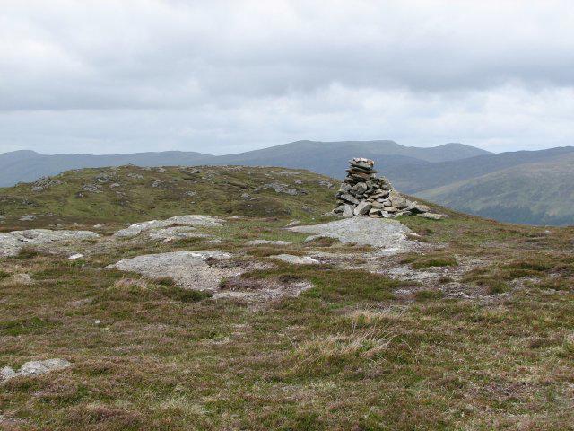 Photo could not load
NN5843 : Meall nam Maigheach summit
Callum Black
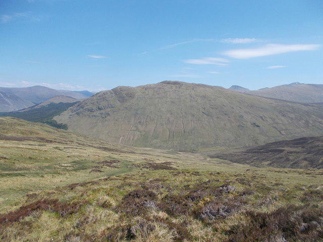 Photo could not load
NN5843 : Meall nam Maigheach
Iain Russell
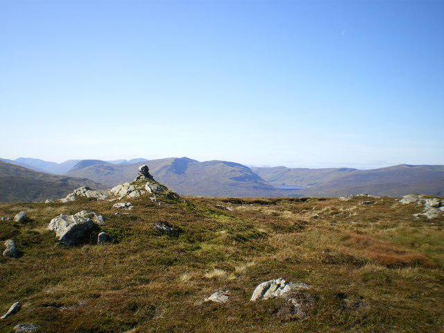 Photo could not load
NN5843 : Meall nam Maigheach summit
Richard Law
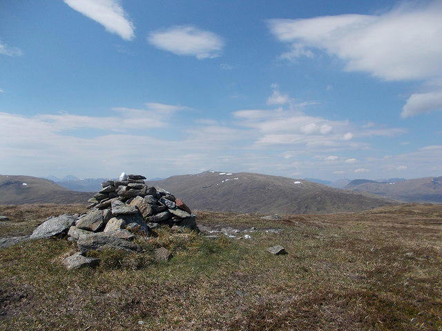 Photo could not load
NN5843 : Summit of Meall nam Maigheach
Iain Russell
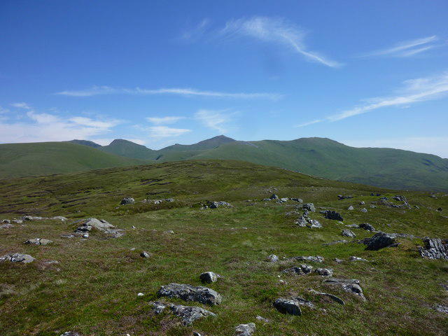 Photo could not load
NN5843 : Meall nam Maigheach from Meall Luaidhe
I A Smellie
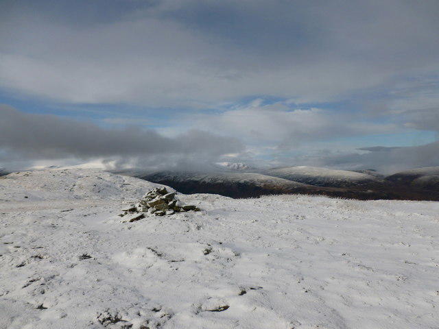 Photo could not load
NN5843 : Summit cairn, Meall nam Maigheach ('hill of the hares')
Alan O'Dowd
Hill facts and local notes
Classifications
Elevation
779m
2,555 ft
Prominence
176m
Coordinates
56.5630, -4.3027
NN585436
OS Map
51
Explorer: OL48E 378E
At the Summit
The summit features a large stone cairn, which offers a perfect photo opportunity. There's also a few boulders around to help you feel like you've cracked the peak without any cheating!
Terrain & Geology
Meall nam Maigheach is predominantly composed of granite and schist. The geological formations around this area contribute to stunning landscapes and unique habitats, with rocky outcrops and glacial features prevalent throughout the region.
Views & Scenery
The summit rewards hikers with breathtaking views of the surrounding mountains, including Ben Lawers and the vast expanses of Glen Lyon. On a clear day, even Loch Tay can be spotted in the distance.
History & Heritage
Name Origin
The name 'Meall nam Maigheach' translates to 'Hill of the Maidens' in Scottish Gaelic, potentially referencing local legends or historical significance.
Historical Significance
The area has a rich history connected to Scottish clans and has been a site for traditional gatherings and celebrations.
Getting There & Facilities
Parking
Parking is available at the small car park near the start of the North-East Ridge Route, which can accommodate several vehicles. Please be mindful of not blocking access for farm vehicles.
Public Transport
The nearest public transport can be accessed via bus services connecting to Aberfeldy; however, the final leg of the journey typically requires a short taxi ride.
Nearby Facilities
Facilities in Aberfeldy include cafes, shops, and public toilets, ensuring hikers can recharge before or after their adventure.
Safety Information
Known Hazards
- Lone hikers should be cautious of rapid weather changes. Paths may be boggy and slippery, and there are steep drops near the summit.
General Safety Tips
- Check weather conditions before setting out
- Carry appropriate clothing and equipment
- Let someone know your planned route
- Take a map, compass, and GPS device
- Carry emergency supplies: food, water, first aid kit, torch
Hills
Some common questions about the hills answered
Are there group walks up Meall nam Maigheach?
Many walkers use Walkmates to join or organise walks with others. You can check for group walks around Meall nam Maigheach through the maps
Are there other walkers around Meall nam Maigheach?
Activity varies by location and time, but Walkmates lets you see whether others have shared walks or shown interest in this area. Find other people through the walking friends search walking friends for Meall nam Maigheach search or of course create your own walk for Meall nam Maigheach
Can I organise a walk to Meall nam Maigheach?
Yes. If there aren’t any walks listed already, you can create a walk and make it available for others to join.
If you're signed up to Walkmates, you can create a walk to Meall nam Maigheach.
How do I find a walk up this hill?
There are often multiple ways to walk this hill, depending on experience and route preference. Walkmates helps you explore walks and routes that others have shared.
Can I suggest a new route up Meall nam Maigheach?
Yes. You can suggest or create routes to share with others. Walkmates focuses on the social side of walking, so routes are used to help people organise walks and explore areas together, rather than as detailed navigation tools or route libraries.
Other uses really appreciate knowledgeable walkers sharing their routes. Share your favourite route to Meall nam Maigheach here
The is an error or something incorrect about this hill. How do I let you know?
We always strive to keep the information on Walkmates as accurate as possible. If you find an error, please let us know through the contact form and we'll aim to correct it as quickly as possible
Community Discussion
Comments
Location
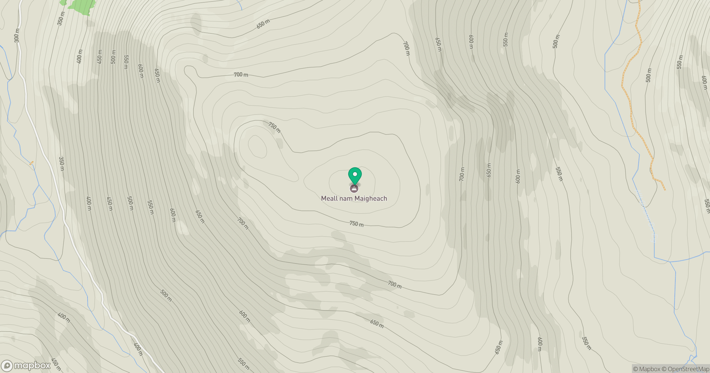
Grid reference: NN585436
View on OpenStreetMapOpens a map in a new tab, centred on the hill.


No comments yet. Be the first.