

Schiehallion
Good walks are even better shared.
NN7154 : Summit of Schiehallion (1083m)
Adele Photo source
Overview
Schiehallion is a 1083.3m Munro in Highland Perthshire, famous for its cone-shaped profile from Loch Rannoch and the 1774 experiment to estimate the Earth's density. The usual ascent follows a built path from Braes of Foss before crossing a rough quartzite boulder field. Clear weather brings wide Highland views; the rocky upper ridge requires careful footwork and navigation.
Schiehallion
Schiehallion rises to 1083.3m in Highland Perthshire. Its broad east-west ridge looks strikingly conical from across Loch Rannoch. The Gaelic name, Sìdh Chailleann, is commonly translated as “Fairy Hill of the Caledonians”.
Walking the mountain
The usual ascent starts at Braes of Foss and follows the east ridge. A well-built lower path gives way to a rough boulder field before the summit. The 10km return walk has a guide time of 4–6 hours. Its reputation as an easier Munro applies to favourable summer conditions: the upper rocks still demand balance, care and navigation. Mist can make finding the return line difficult. Bring a map and compass and know how to use them.
A longer west-to-east circuit starts and finishes at the same car park, using the road through Strath Fionan before climbing over rough ground onto the west ridge. Follow a full route guide for this less-defined approach. In snow or ice, allow for slower travel and use suitable winter equipment with the skills to use it.
Quartzite and a scientific landmark
Pale quartzite gives the upper ridge its distinctive colour. These metamorphosed sedimentary rocks belong to the Dalradian succession; limestone on some northern slopes supports contrasting plant communities.
In 1774, Nevil Maskelyne led the Royal Society's experiment here to estimate the Earth's mean density from the mountain's gravitational attraction. Charles Hutton used contour lines in calculating the mountain's volume. A memorial at Braes of Foss recalls this scientific story.
Looking after Schiehallion
The John Muir Trust has cared for the eastern mountain since 1999. Its realigned path reduces erosion, while woodland restoration is changing the lower slopes. Keep to the constructed path where it exists. The Foss Loop offers a lower-level walk through the woodland and does not reach the summit.
Plan with the Walkhighlands route guide, UKHillwalking circuit and Forestry and Land Scotland visitor information. Read about the John Muir Trust's work and the Royal Society experiment.
Explore routes near Schiehallion
Walks starting near this hill. Open a route to check its map, distance and full itinerary.
Kenmore: Drummond Hill Black Rock Trail above Loch Tay
View route
Aberfeldy: Glassie Woodland and River Tay Circular
View route
Glen Banvie Trail with the Bruar viewpoint
View route
Killin: Falls of Dochart, Finlarig and Moirlanich Longhouse
View route
Route planning notes
These notes describe possible approaches. Check a route's map and access information when planning your walk.
Braes of Foss east ridge out-and-back
Start at Braes of Foss car park (NN753556). Follow the built path up the east ridge, then cross the rough quartzite boulder field to the summit. Return by the same route. The complete outing is 10km; Walkhighlands gives 4–6 hours. The upper ridge needs careful footwork and navigation in mist, despite the good lower path.
West-to-east circuit from Braes of Foss
From Braes of Foss, walk west along the road through Strath Fionan. Leave it near NN724567 and climb via the Allt Leathan, Tom na Fuine and Cnoc na h-Iolaire to the west ridge and summit. Descend the east ridge and main path to the same car park. UKHillwalking gives 12.28km and 4–5 hours for this full circuit. It includes road walking, pathless heather, boggy ground and a steep ascent; confident navigation is needed.
Make a day of it, together
Find someone to share the walk with, or organise a day out along a route you like.
Photo Gallery
View all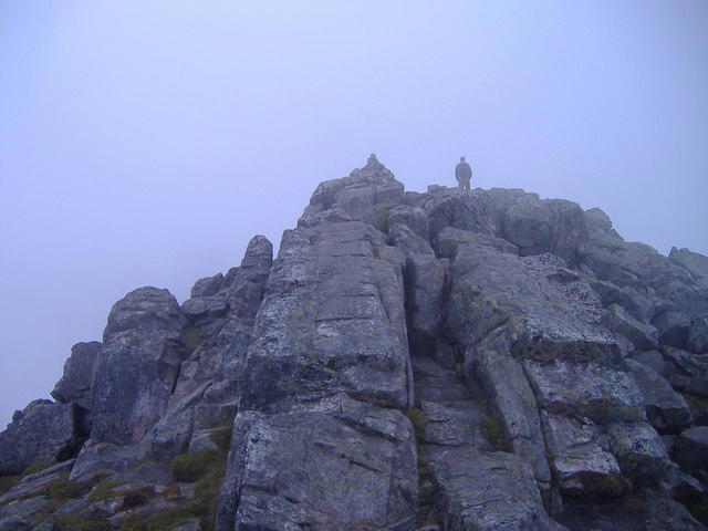 Photo could not load
NN7154 : Summit of Schiehallion (1083m)
Adele
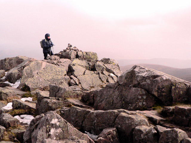 Photo could not load
NN7154 : Schiehallion
AlastairG
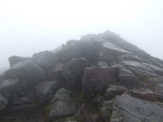 Photo could not load
NN7154 : Top rocks of Schiehallion
Jonathan Billinger
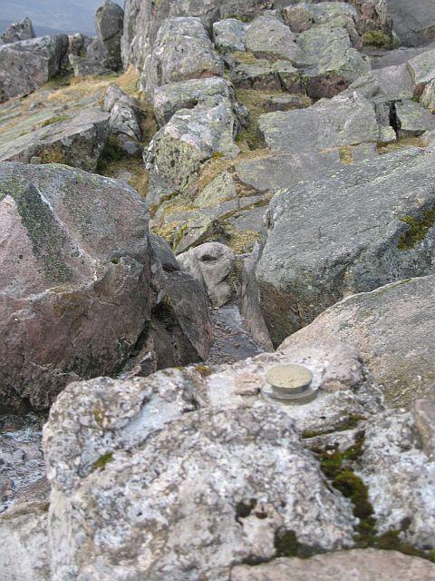 Photo could not load
NN7154 : Schiehallion trig point
Richard Webb
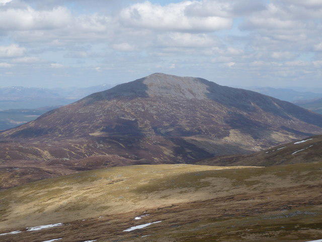 Photo could not load
NN7154 : Schiehallion from the south
Alan O'Dowd
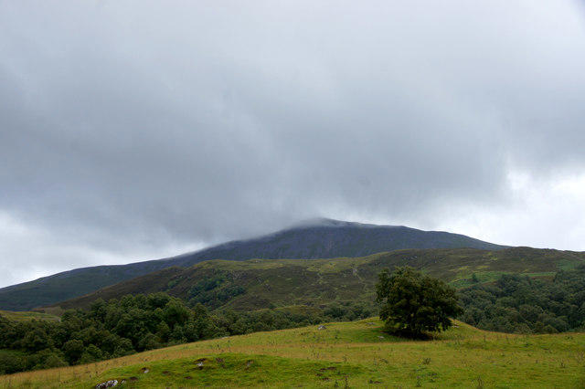 Photo could not load
NN7154 : Schiehallion from Tullochroisk
Mike Pennington
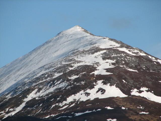 Photo could not load
NN7154 : Schiehallion
Callum Black
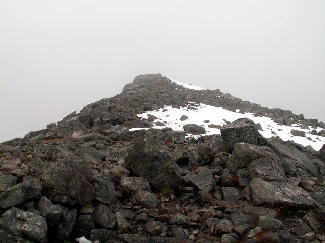 Photo could not load
NN7154 : Below the summit of Schiehallion
John Fielding
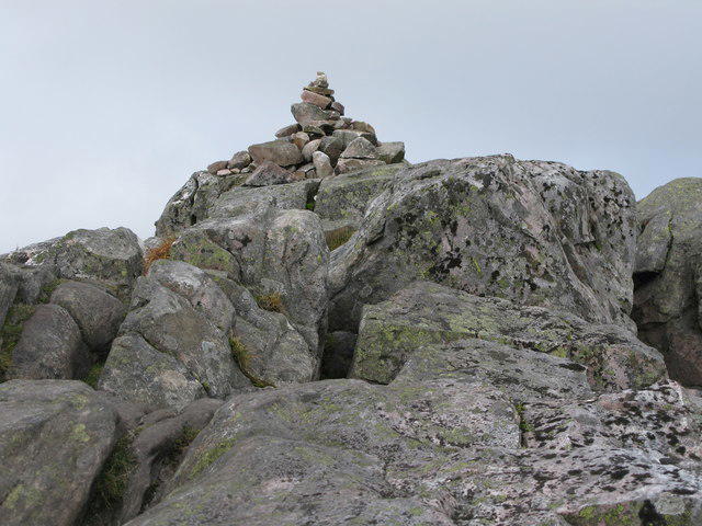 Photo could not load
NN7154 : Small Cairn at the Summit of Schiehallion
G Laird
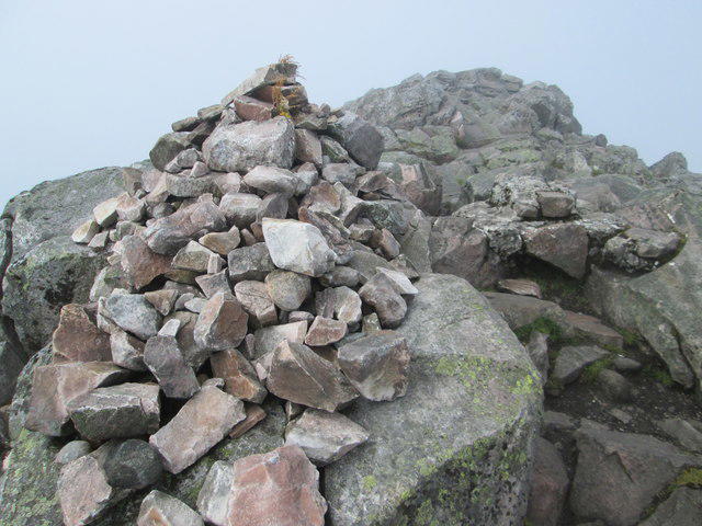
NN7154 : Schiehallion summit rocks
Peter S
Hill facts and local notes
Classifications
Elevation
1,083m
3,554 ft
Prominence
716m
Coordinates
56.6669, -4.1002
NN713547
OS Map
42 51 52
Explorer: OL49W 386W
At the Summit
The highest point is a rock about 20m north-west of the cairn. DoBIH records it as 15cm higher than the rock beneath the cairn. The summit and upper ridge are covered in quartzite boulders.
Terrain & Geology
Schiehallion's pale upper ridge is formed of quartzite, a metamorphosed sedimentary rock derived from ancient sand. The Schiehallion Quartzite Formation is Neoproterozoic and belongs to the Dalradian succession. Other rocks around the mountain include schists and limestone; limestone outcrops on some northern slopes support different vegetation from the quartzite summit.
Views & Scenery
In clear weather, views extend over Loch Rannoch and Rannoch Moor towards Glencoe. The ascent also overlooks Loch Tummel towards Beinn a' Ghlò.
History & Heritage
Name Origin
From the Gaelic Sìdh Chailleann, commonly translated as “Fairy Hill of the Caledonians”.
Historical Significance
In 1774, Astronomer Royal Nevil Maskelyne led a Royal Society experiment on Schiehallion to estimate the Earth's mean density by measuring the mountain's gravitational deflection of a plumb line. Charles Hutton calculated the mountain's volume using contour lines. A memorial at Braes of Foss commemorates the experiment.
Getting There & Facilities
Parking
Braes of Foss car park (NN753556), on the minor Schiehallion road between the B846 and Kinloch Rannoch. Forestry and Land Scotland lists charged parking and an overflow car park 600m east. The nearest postcode is PH16 5NN; use the named car park rather than the postcode alone. Check on-site signs for current charges and restrictions.
Public Transport
There is no public transport to the Braes of Foss start. If travelling by bus or rail to the wider area, arrange your onward and return transport before setting out; check current timetables.
Nearby Facilities
Toilets are listed at Braes of Foss car park. The nearest shops and cafés are in Kinloch Rannoch or Aberfeldy. Bring food, drinking water and mountain clothing; check current facility availability before travelling.
Safety Information
Known Hazards
- The upper ridge crosses awkward, uneven boulders; take care with footing, especially when wet or icy.
- There is no continuous built path across the summit boulders. Low cloud makes route-finding harder; carry a map and compass and know how to use them.
- The exposed mountain is subject to strong winds, cold and rapid weather changes.
- The western circuit includes road walking, pathless rough ground and a steep climb.
Seasonal Hazards
Snow and ice can hide the path and cover gaps between rocks. Winter ascents require winter navigation skills and suitable equipment, including ice axe and crampons when conditions demand them, with the ability to use them. Allow extra time for short daylight and slower progress; summer guide times are not winter guarantees.
General Safety Tips
- Check weather conditions before setting out
- Carry appropriate clothing and equipment
- Let someone know your planned route
- Take a map, compass, and GPS device
- Carry emergency supplies: food, water, first aid kit, torch
Hills
Some common questions about the hills answered
Are there group walks up Schiehallion?
Many walkers use Walkmates to join or organise walks with others. You can check for group walks around Schiehallion through the maps
Are there other walkers around Schiehallion?
Activity varies by location and time, but Walkmates lets you see whether others have shared walks or shown interest in this area. Find other people through the walking friends search walking friends for Schiehallion search or of course create your own walk for Schiehallion
Can I organise a walk to Schiehallion?
Yes. If there aren’t any walks listed already, you can create a walk and make it available for others to join.
If you're signed up to Walkmates, you can create a walk to Schiehallion.
How do I find a walk up this hill?
There are often multiple ways to walk this hill, depending on experience and route preference. Walkmates helps you explore walks and routes that others have shared.
Can I suggest a new route up Schiehallion?
Yes. You can suggest or create routes to share with others. Walkmates focuses on the social side of walking, so routes are used to help people organise walks and explore areas together, rather than as detailed navigation tools or route libraries.
Other uses really appreciate knowledgeable walkers sharing their routes. Share your favourite route to Schiehallion here
The is an error or something incorrect about this hill. How do I let you know?
We always strive to keep the information on Walkmates as accurate as possible. If you find an error, please let us know through the contact form and we'll aim to correct it as quickly as possible
Community Discussion
Comments
Location
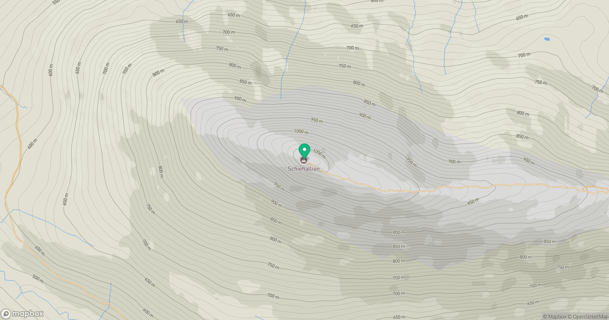
Grid reference: NN713547
View on OpenStreetMapOpens a map in a new tab, centred on the hill.


No comments yet. Be the first.