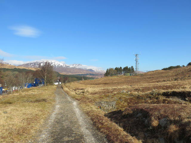
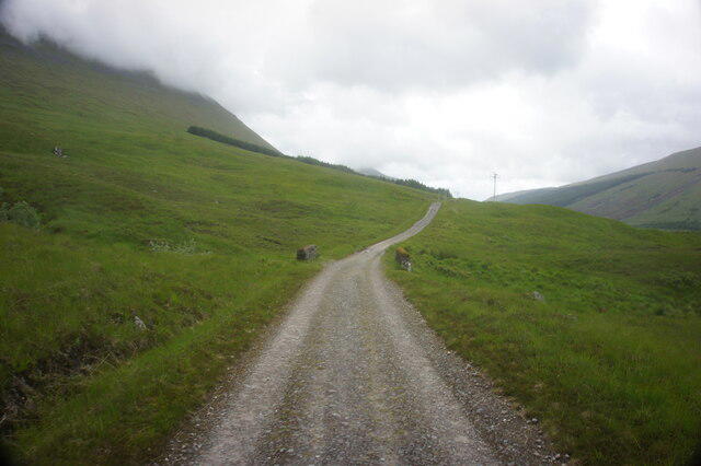
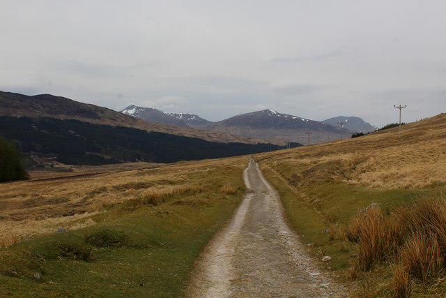
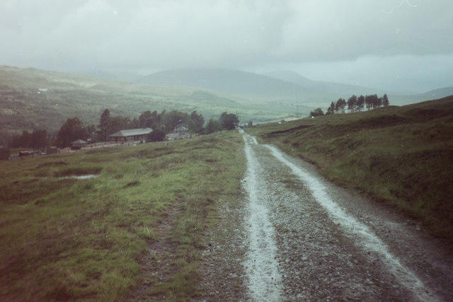
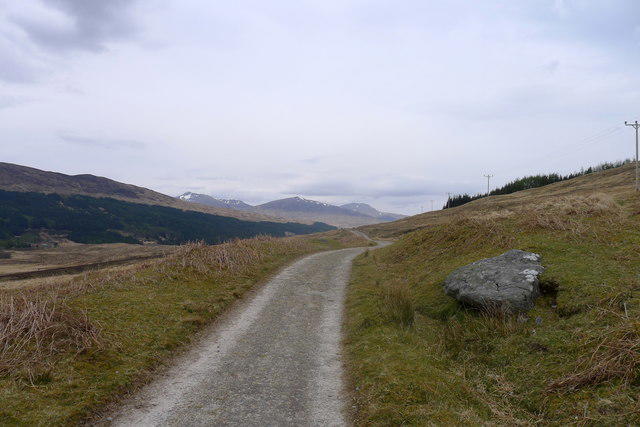
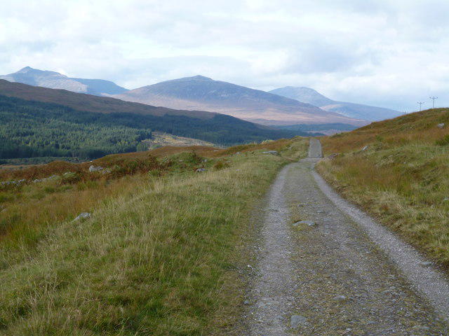
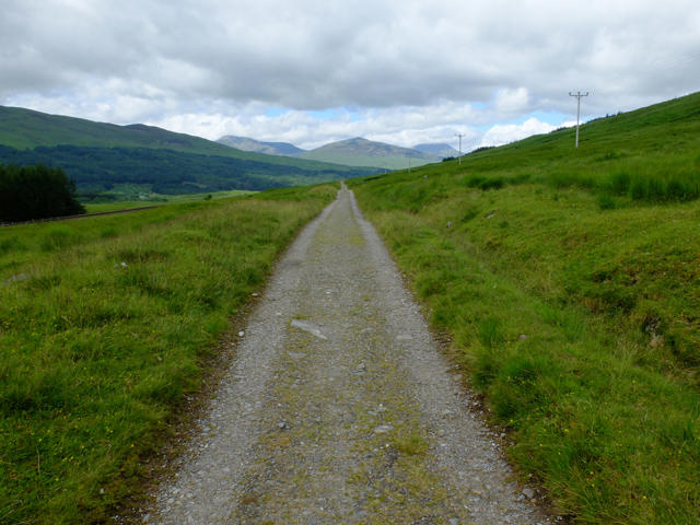
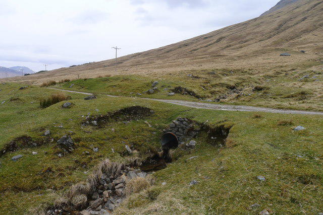
Follow the West Highland Way north from Tyndrum along the old military-road corridor, with Beinn Odhar close by and the pointed outline of Beinn Dorain ahead. The route passes the Allt Kinglass stone bridge and finishes beside Bridge of Orchy station. The plotted walk is 10.2 km; allow around four hours plus stops. Expect firm tracks, some narrow stony ground, gates, a stile and railway underpasses with steps. The glen is exposed to Highland weather, so carry waterproofs, warm layers and a backup map. Stay on the signed walking route and never cross railway tracks. Arrange your return before setting off: direct trains connect Bridge of Orchy with Upper Tyndrum, but services are limited. This is a one-way route; the station and village approaches at Tyndrum are additional.
Start and finish
Start at the West Highland Way uphill-lane junction on the north side of Tyndrum, beside the A82 (56.4383067, -4.7134987). The plotted line immediately leaves the main road; assemble clear of traffic.
Finish at the pedestrian connection to Station Brae immediately west of the Bridge of Orchy station underpass: 56.5167696, -4.7647172. The short signed station-platform access is outside the exported line. Stop clear of vehicles; the route ends before the downhill Station Brae road and A82 crossing.
Travel and parking
Upper Tyndrum station is a separate public-transport access point on Upper Station Road. Follow public village roads and signed pedestrian routes to the north village trailhead; this connection is not plotted.
ScotRail currently lists free station parking, five spaces, available 24 hours. Read signs for use restrictions and do not assume a space.
ScotRail lists no station toilets. Other village business facilities and opening hours are not guaranteed.
Use direct ScotRail trains from Bridge of Orchy to Upper Tyndrum, or arrange a lift. Upper Tyndrum serves the Fort William line; Tyndrum Lower is a different station on the Oban line. Plan the date-specific return before starting and check live disruptions and last departure. A train-first plan can reduce the risk of missing the final return.
Tyndrum station/village approaches, station platforms, parking areas and any return trip are outside the measured trail geometry.
Terrain and access
Follow the West Highland Way thistle waymarks. Both railway crossings on the selected line use pedestrian underpasses. Never use a locked level crossing, trespass onto railway tracks or improvise an A82 road bypass.
Mostly firm walking tracks, with a narrower stony section, steps at Bridge of Orchy, gates and at least one mapped stile. It is not a step-free route; neither station has step-free platform access.
Open Highland glen: wind, rain, cold, ice or snow can make this short stage demanding. Check forecasts, carry waterproofs and warm layers, and leave enough daylight.
Low railway underpasses can be awkward, wet or slippery. Take care on stone bridges and uneven ground; obey closures or diversions rather than bypassing them.
Carry food and water from Tyndrum. The official trail lists refreshments in both settlements, but business hours and availability are unverified; there is no guaranteed resupply between them.
Keep dogs under close control around livestock and other trail users; close gates. No universal dog-suitability guarantee is made.
Official notices checked 23 October 2026 found no closure specifically for this section. The Bridge of Orchy 10k is listed for 1 November 2026. Check fresh notices and signs before travel.
Distance and planning
The mapped route measures 10.190662 km, displayed as 10.2 km. The community rail partnership describes approximately 11 km; the reason for that difference is not documented. This walk ends at the Bridge of Orchy station approach and is not the full 14.5 km Tyndrum–Inveroran stage. Allow around four hours of walking plus stops. No verified ascent is supplied for these exact endpoints.
No field inspection has been made. Check current weather, travel information, notices and on-site signs before setting out.
Sources checked 23 October 2026
https://www.westhighlandway.org/the-route/tyndrum-to-inveroran/
https://www.westhighlandcrp.com/walk-the-line-bridge-of-orchy-the-horseshoe-curve-county-march-summit-and-tyndrum-copy/
https://www.walkhighlands.co.uk/argyll/tyndrum-inveroran.shtml
https://www.westhighlandway.org/the-route/multi-use-access-for-west-highland-way/
https://www.westhighlandway.org/notices/
https://www.westhighlandway.org/2026-events/
https://www.scotrail.co.uk/plan-your-journey/stations-and-facilities/uty
https://www.scotrail.co.uk/plan-your-journey/stations-and-facilities/bro
https://api.openstreetmap.org/api/0.6/relation/19772653/full
Route geometry: © OpenStreetMap contributors, ODbL 1.0. https://www.openstreetmap.org/copyright
253 exact OpenStreetMap source vertices follow the established West Highland Way corridor. Original listing copy; protected reference-map coordinates are not reused.