
Image shared for Killin: Falls of Dochart, Finlarig and Moirlanich Longhouse
Countryside Circular

Killin: Falls of Dochart, Finlarig and Moirlanich Longhouse

Central

Distance
4.0 mi
Est. time
2h 30m
Difficulty
Medium
PaulWalkmates Route by PaulWalkmates

About this walk

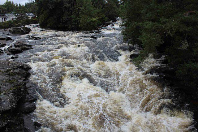
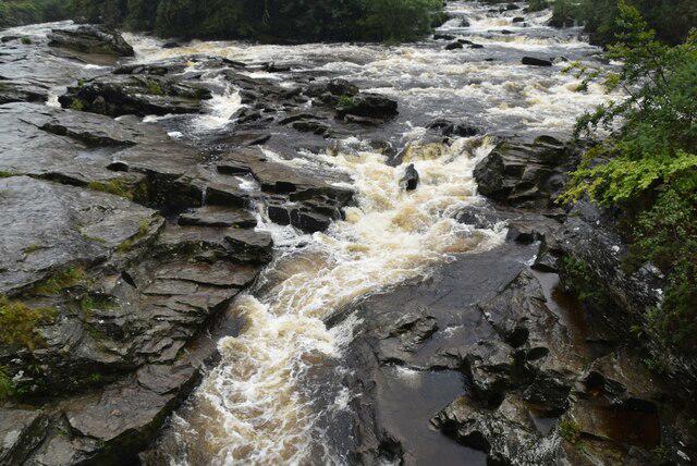
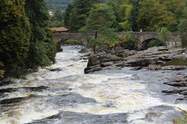
Start at the council car park on Station Road, beyond the Co-op. Follow Station Road and Main Street south to the old mill and the north end of Dochart Bridge for the falls. Stay on the street and return to Manse Road rather than stepping onto the river rocks.

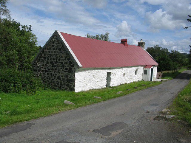
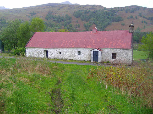
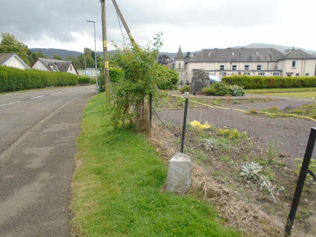
Climb Manse Road, turn into Stewart Road and follow Fingal Road to Breadalbane Park. Take the park paths past Fingal's Stone and leave by the main gates. Continue north along Main Street beside the River Lochay, then take the signed Glen Lochay road to Moirlanich Longhouse. Turn back opposite the longhouse and retrace the road to Pier Road.

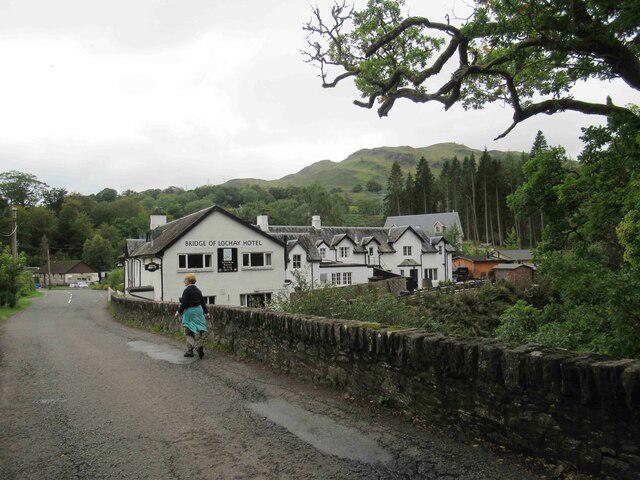
Cross the Lochay bridge on Pier Road and continue past the entrance to Finlarig Castle. The ruin is unsafe: stay on the road. At the old railway junction turn right towards Killin, cross the former railway bridge over the Dochart and return to the car park.

Allow about 2 hours 30 minutes for the full circuit with its longhouse out-and-back. Surfaces are pavements, park paths, gravel railway path and stretches of road without pavements; Manse Road has a short steep rise. Watch for traffic on Glen Lochay and Pier Road and for cyclists on the railway path. Cafes and shops are in Killin.

Moirlanich's interior is closed from 1 October to 30 April 2027; this walk reaches its roadside exterior. Check NTS for seasonal admission. A827 bridge repairs east of the Glen Lochay junction affect the approach from Kenmore, 9.30am to 3.30pm until 9 October 2026. Follow local notices.

Route reference: Loch Lomond & The Trossachs National Park's Killin Heritage Trail and its published Moirlanich extension; opening information from the National Trust for Scotland.

Walk details

County
Central
Walk type
Circular
Category
Countryside
Distance
4.0 mi (6.5 km)
Est. time
2h 30m
Explorer
Yes, off the beaten track

Route map

Use the route details to plan your walk

If the map image does not load, the route description and starting-point details are still on this page.

The interactive map will load when you reach this section.

Where to start

Directions to start

Walking on your own?

Start when you're ready and add the walk to your history. No group date needed.

This walk is waiting for a date

Not ready to pick a date? Follow it and you'll hear when somebody else does.

No commitment. You can follow it now and pick a date later.

Joining a walk

A few things to know before you make plans.

Can I join if no one else is going?

You can be the first to join a scheduled walk. A suggested date is an idea for a group walk; choose Set this date up to organise it. Check the participant list and meeting details before setting off.

What if there is no date yet?

Choose Put a date on this walk to organise a group walk. Not ready to choose a day? Follow the route for scheduling updates, or save it for later.

What does the organiser do?

The organiser sets the date and meeting details and helps the group get started. They are a fellow walker and may be new to the route too.

Each walker is responsible for their own safety and navigation. Check the route, weather, equipment and whether the walk suits your experience and fitness.

Can I walk this route on my own?

Yes. Choose Walk this route on your own to open the start screen, then start when you are ready. Finish the walk to add it to your walking history. You do not need a group date.

What happens after I join?

Use the walk page to check meeting details, updates and who is going. Check in from 24 hours before the start to let the group know you still plan to come.

How do I confirm plans with the group?

Check the participant list and check-ins, and message the organiser or other walkers to confirm where to meet and who is coming. This is especially useful when the group is small.
