

Little Whernside
Good walks are even better shared.
SE0277 : Cairn near the top of Little Whernside
David Brown Photo source
Overview
Little Whernside: A Hidden Gem in the Yorkshire Dales
Nestled in the stunning Yorkshire Dales, Little Whernside may not be the tallest mountain in the area, but it certainly packs a punch when it comes to breathtaking views and engaging hiking experiences.
Geology
Little Whernside is primarily made of limestone, contributing to its picturesque karst features. As you trek along, keep an eye out for the fascinating limestone pavements and the unique wildlife that call this habitat home. Don't be surprised to find a few friendly sheep who are more than happy to judge your hiking skills!
Routes
The most popular route to the summit is the Whernside circular route, which stretches around 9.5 km. This moderate trek takes you over scenic landscapes rich in history and natural beauty. Allow about 3.5 hours for this route, and remember to pace yourself – there’s no race to the top!
Summit Features
Once you've conquered the summit, you'll find a charming stone cairn waiting to mark your achievement. Pop a squat for a quick snack and take a moment to absorb the stunning rural beauty that surrounds you.
Terrain
The terrain varies from grassy slopes to rocky outcrops, with a sprinkling of boggy patches to add some extra adventure. Ensure you wear sturdy boots; your feet will thank you!
Views
The panoramic views from Little Whernside are nothing short of spectacular. On a clear day, you can see the towering peaks of Whernside and Ingleborough, as well as the iconic Ribblehead Viaduct. Pro tip: for the best views, consider an early morning hike to catch the sunrise.
Hazards
As with any mountain, be mindful of changing weather conditions, especially during winter months. The terrain can also become slippery, so take your time and stay alert!
Access
To get to Little Whernside, park at the layby near Ribblehead, which is conveniently located just a few kilometers from the foot of the mountain. For those who favour public transport, the nearby Ribblehead station provides access via train. Ingleton is the nearest town, offering a welcoming atmosphere post-hike.
Facilities
After an exhilarating hike, why not treat yourself at one of the cafes or pubs in Ingleton? Facilities, including toilets, are available in the village to help you refresh before heading home.
History
The name Little Whernside is believed to originate from the word 'Whern', meaning 'thorny', providing a nod to its rugged features. It has long been a favourite among outdoor enthusiasts and part of the Yorkshire Three Peaks challenge, showcasing the unwavering allure of the British countryside.
Whether you're seeking solitude on the trails or vistas that take your breath away, Little Whernside delivers on both counts. So lace up your boots, grab your walking stick, and prepare for an adventure you won’t soon forget!
Explore routes near Little Whernside
Walks starting near this hill. Open a route to check its map, distance and full itinerary.
Buckden Pike Wellington Wreckage and Memorial
View route
Malham Landscape Trail: Janet's Foss, Gordale Scar, and Malham Cove
View route
Pen-y-ghent from Horton in Ribblesdale
View route
Yorkshire Three Peaks Challenge – Gentle Pace
View route
Route planning notes
These notes describe possible approaches. Check a route's map and access information when planning your walk.
Whernside circular route
A popular circular route that takes in the scenic valleys and moors surrounding Little Whernside.
Make a day of it, together
Find someone to share the walk with, or organise a day out along a route you like.
Photo Gallery
View all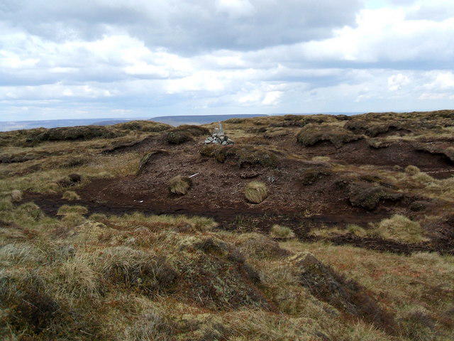 Photo could not load
SE0277 : Cairn near the top of Little Whernside
David Brown
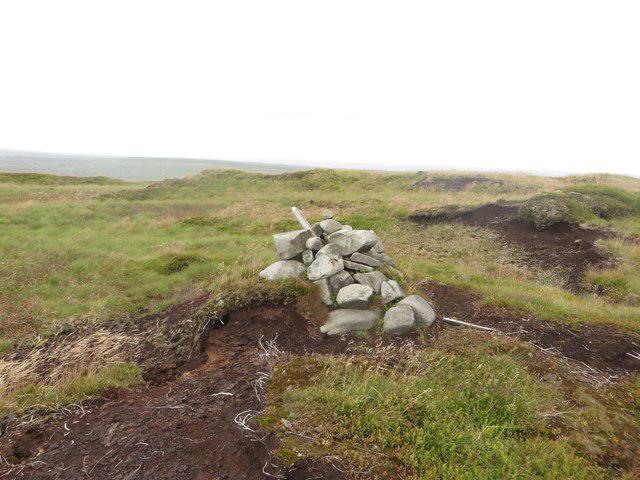 Photo could not load
SE0277 : Little cairn on Little Whernside
Graham Robson
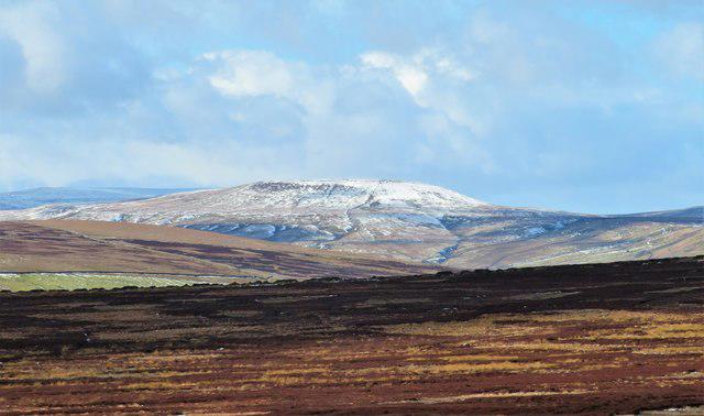 Photo could not load
SE0277 : Distant view of Little Whernside
Gordon Hatton
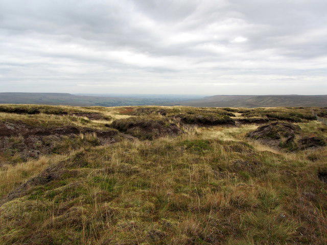 Photo could not load
SE0277 : On Little Whernside
Chris Heaton
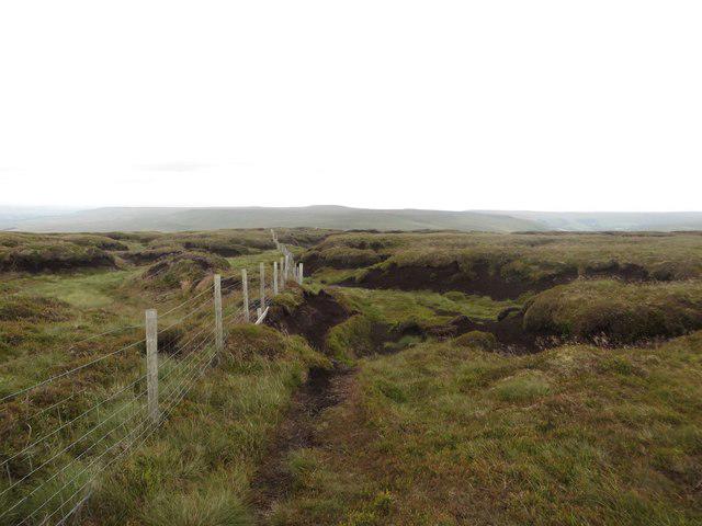 Photo could not load
SE0277 : Peat Hags on Little Whernside
Graham Robson
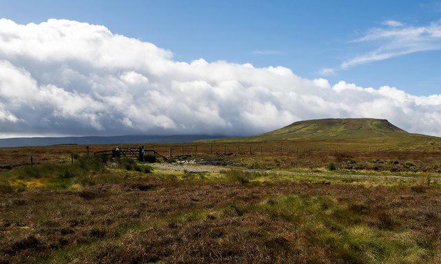 Photo could not load
SE0277 : The ridge to Little Whernside
Greg Fitchett
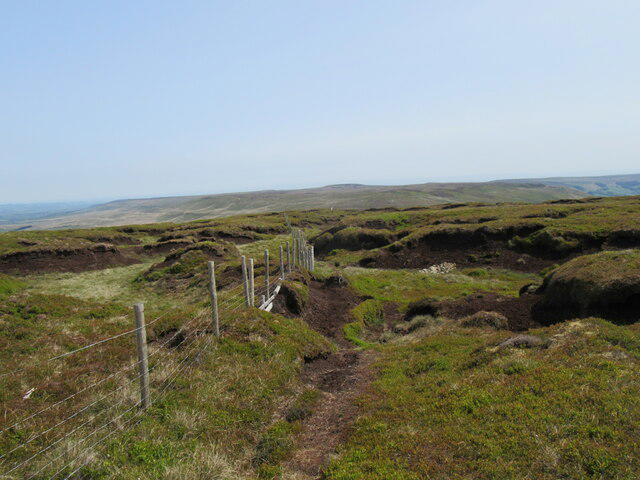 Photo could not load
SE0277 : Little Whernside summit
T Eyre
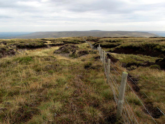 Photo could not load
SE0277 : Boundary Fence on Little Whernside Summit
Chris Heaton
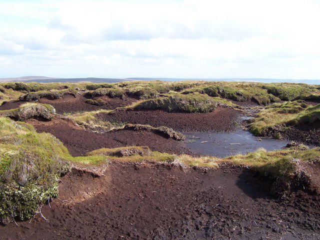 Photo could not load
SE0277 : The summit of Little Whernside
Joe Regan
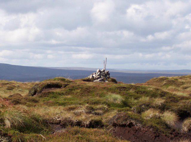 Photo could not load
SE0277 : Cairn atop Little Whernside
Joe Regan
Hill facts and local notes
Classifications
Elevation
605m
1,985 ft
Prominence
78m
Coordinates
54.1943, -1.9585
SE028776
OS Map
98
Explorer: OL30S
At the Summit
The summit features a small stone cairn, providing a perfect spot for a celebratory snack after conquering the peak.
Terrain & Geology
Little Whernside is predominantly composed of limestone, which contributes to its unique karst landscape. Expect some fine examples of limestone pavement and dry stone walls scattered about.
Views & Scenery
From the summit, you'll be rewarded with stunning views of the iconic Three Peaks, the Ribblehead Viaduct, and the sprawling Yorkshire Dales.
History & Heritage
Name Origin
The name Little Whernside is thought to derive from 'Whern,' meaning 'thorny', and 'side,' suggesting its location on the hillside.
Historical Significance
Little Whernside has been a popular destination for walkers and hikers for many years, serving as a key part of the famous Yorkshire Three Peaks challenge.
Getting There & Facilities
Parking
Parking is available at the small layby near the village of Ribblehead, approximately 3 km from the summit.
Public Transport
The Ribblehead station on the Settle-Carlisle railway is the nearest public transport option, with a short walk to the starting point.
Nearby Facilities
The nearby village of Ingleton has cafes, pubs, and toilets, making it a great spot to refuel after your hike.
Safety Information
Known Hazards
- Be cautious of changing weather conditions, as they can become unpredictable, especially in winter. Also, the terrain can be slippery, so watch your step!
General Safety Tips
- Check weather conditions before setting out
- Carry appropriate clothing and equipment
- Let someone know your planned route
- Take a map, compass, and GPS device
- Carry emergency supplies: food, water, first aid kit, torch
Hills
Some common questions about the hills answered
Are there group walks up Little Whernside?
Many walkers use Walkmates to join or organise walks with others. You can check for group walks around Little Whernside through the maps
Are there other walkers around Little Whernside?
Activity varies by location and time, but Walkmates lets you see whether others have shared walks or shown interest in this area. Find other people through the walking friends search walking friends for Little Whernside search or of course create your own walk for Little Whernside
Can I organise a walk to Little Whernside?
Yes. If there aren’t any walks listed already, you can create a walk and make it available for others to join.
If you're signed up to Walkmates, you can create a walk to Little Whernside.
How do I find a walk up this hill?
There are often multiple ways to walk this hill, depending on experience and route preference. Walkmates helps you explore walks and routes that others have shared.
Can I suggest a new route up Little Whernside?
Yes. You can suggest or create routes to share with others. Walkmates focuses on the social side of walking, so routes are used to help people organise walks and explore areas together, rather than as detailed navigation tools or route libraries.
Other uses really appreciate knowledgeable walkers sharing their routes. Share your favourite route to Little Whernside here
The is an error or something incorrect about this hill. How do I let you know?
We always strive to keep the information on Walkmates as accurate as possible. If you find an error, please let us know through the contact form and we'll aim to correct it as quickly as possible
Community Discussion
Comments
Location
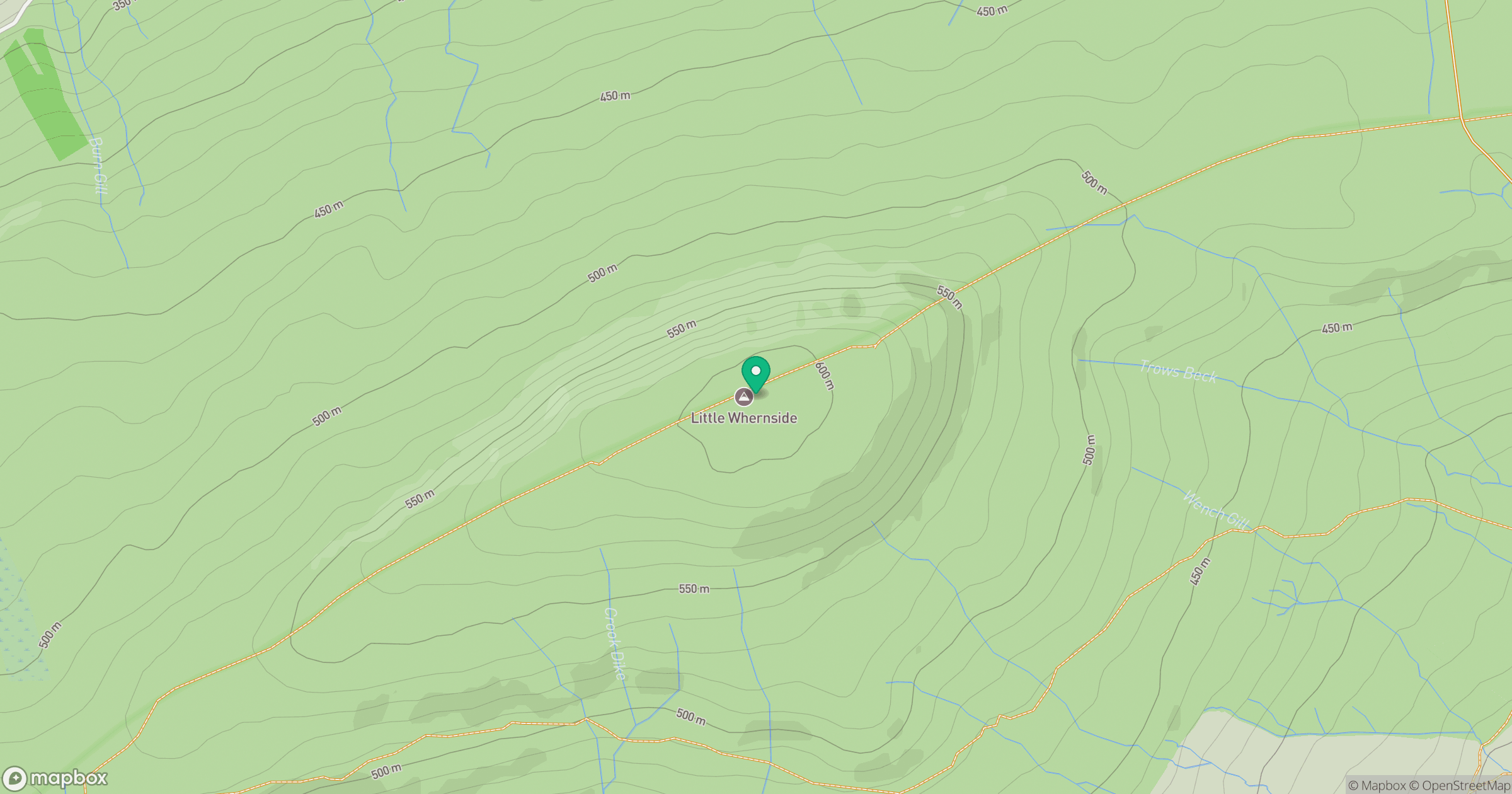
Grid reference: SE028776
View on OpenStreetMapOpens a map in a new tab, centred on the hill.
Nearby Hills
Buckden Pike
702m

Pen-y-ghent
694m
Rombalds Moor [Ilkley Moor]
402m
Nine Standards Rigg
662m

Ingleborough
723m
No comments yet. Be the first.