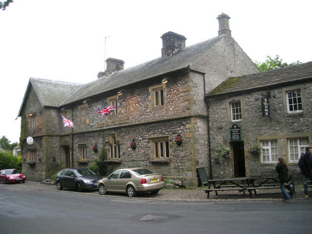
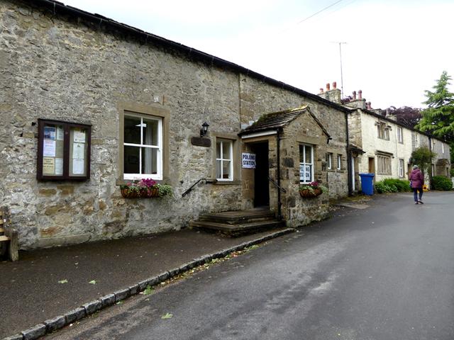
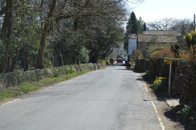
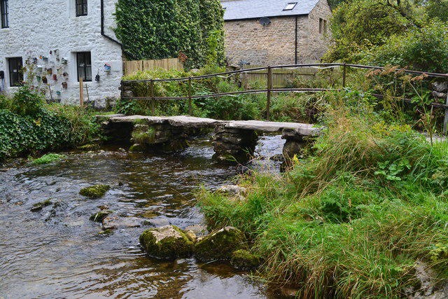
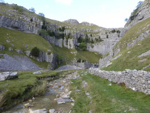
Image shared for Malham Landscape Trail: Janet's Foss, Gordale Scar, and Malham Cove
Upland / Hill Circular

Malham Landscape Trail: Janet's Foss, Gordale Scar, and Malham Cove

North Yorkshire

Distance
5.0 mi
Est. time
2h 30m
Difficulty
Medium
PaulWalkmates Route by PaulWalkmates

About this walk

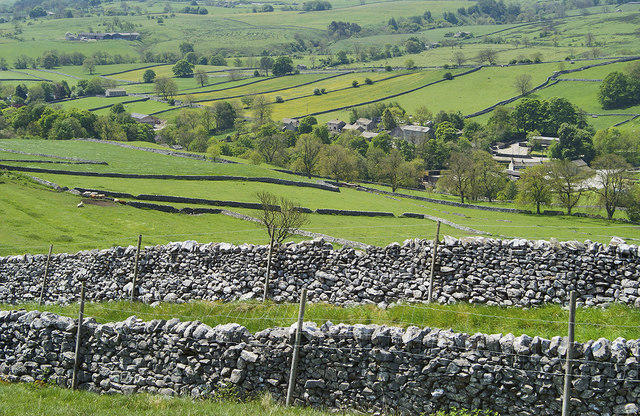
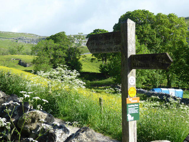
The Malham Landscape Trail is an unforgettable circular walk in the heart of the Yorkshire Dales, famous for showcasing some of the region's most iconic natural wonders: Janet’s Foss, Gordale Scar, and Malham Cove.

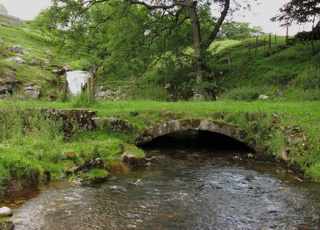
Starting near the picturesque village of Malham, the route gently leads walkers through tranquil woodland towards Janet’s Foss—a beautiful, secluded waterfall cascading into an inviting emerald pool, steeped in folklore about fairies said to inhabit the surrounding glades.

From here, the path continues to Gordale Scar, an awe-inspiring limestone gorge dramatically carved by centuries of flowing water. Towering cliffs enclose this atmospheric natural amphitheatre, creating a sense of grandeur as you explore beneath its rugged walls. Depending on conditions, walkers may opt for an exciting scramble up the waterfall at Gordale Scar or take an easier, clearly marked detour around it.

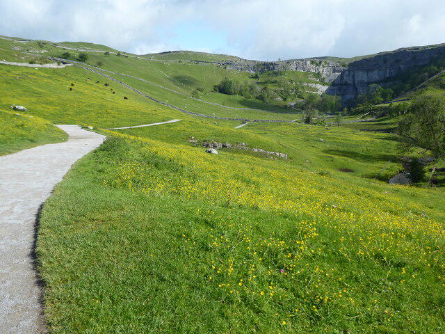
The trail then heads across open moorland to the iconic Malham Cove, a magnificent, curved limestone cliff face rising dramatically above the countryside. At its summit, a distinctive limestone pavement offers sweeping views across the valley—an ideal spot to pause, rest, and enjoy the striking landscape below.

This route is moderately challenging, featuring a mix of woodland paths, rocky sections, and grassy tracks. Appropriate footwear is essential, especially for navigating rocky terrain or wet conditions. Allow at least three to four hours to comfortably complete the circuit and fully immerse yourself in the spectacular scenery.

This walk is perfect for those looking for both beauty and adventure, offering a rich variety of landscapes, plenty of wildlife sightings, and the sheer majesty of some of Yorkshire's finest natural landmarks.

Walk details

Main location
Malham
Nearby town
Malham
Walk type
Circular
Category
Upland / Hill
Distance
5.0 mi (8.1 km)
Est. time
2h 30m
Explorer
Yes, off the beaten track

Route map

Use the route details to plan your walk

If the map image does not load, the route description and starting-point details are still on this page.

The interactive map will load when you reach this section.

Where to start

Directions to start
///readers.manly.existence

Walking on your own?

Start when you're ready and add the walk to your history. No group date needed.

This walk is waiting for a date

Not ready to pick a date? Follow it and you'll hear when somebody else does.

No commitment. You can follow it now and pick a date later.

Along the route

45 places
Malham Car Park
Parking
Toilets
Essentials · 0.0 mi along
Information
Navigation · 0.0 mi along
Drinking Water
Essentials · 0.0 mi along
Guidepost
Navigation · 0.1 mi along
Guidepost
Navigation · 0.1 mi along
Guidepost
Navigation · 0.4 mi along
Janet's Foss
Information · 1.3 mi along
Janet's Foss
Viewpoint · 1.3 mi along
Janet's Cave
Cave · 1.3 mi along
Janet's Foss
Waterfall · 1.3 mi along
Guidepost
Navigation · 1.4 mi along
Stone Bank Lathe
Ruins · 1.4 mi along
Gordale Scar
Information · 1.5 mi along
Gordale Scar Campsite
Campsite · 2.3 mi along
Guidepost
Navigation · 2.3 mi along
Janet's Foss Parking - closer than main parking
Parking · 2.4 mi along
Guidepost
Navigation · 2.4 mi along
Guidepost
Navigation · 2.4 mi along
Guidepost
Navigation · 2.6 mi along
Guidepost
Navigation · 3.1 mi along
Guidepost
Navigation · 3.1 mi along
Ruins
Historic sites · 3.2 mi along
Guidepost
Navigation · 3.4 mi along
Guidepost
Navigation · 3.6 mi along
Information
Navigation · 3.7 mi along
Information
Navigation · 4.1 mi along
Malham Cove
Information · 4.1 mi along
Information
Navigation · 4.1 mi along
Guidepost
Navigation · 4.5 mi along
Guidepost
Navigation · 4.5 mi along
Guidepost
Navigation · 4.6 mi along
Guidepost
Navigation · 4.7 mi along
Parking
Essentials · 4.7 mi along
Guidepost
Navigation · 4.7 mi along
Guidepost
Navigation · 4.7 mi along
Guidepost
Navigation · 4.8 mi along
Malham Village Shop
Shop · 4.9 mi along
Walter Morrison
Information · 4.9 mi along
Guidepost
Navigation · 4.9 mi along
Toilets
Essentials · 4.9 mi along
Drinking Water
Essentials · 4.9 mi along
The Buck Inn
Pub · 4.9 mi along
The Old Barn Cafe
Cafe · 4.9 mi along
Malham National Park Centre
Information · 5.0 mi along

Joining a walk

A few things to know before you make plans.

Can I join if no one else is going?

You can be the first to join a scheduled walk. A suggested date is an idea for a group walk; choose Set this date up to organise it. Check the participant list and meeting details before setting off.

What if there is no date yet?

Choose Put a date on this walk to organise a group walk. Not ready to choose a day? Follow the route for scheduling updates, or save it for later.

What does the organiser do?

The organiser sets the date and meeting details and helps the group get started. They are a fellow walker and may be new to the route too.

Each walker is responsible for their own safety and navigation. Check the route, weather, equipment and whether the walk suits your experience and fitness.

Can I walk this route on my own?

Yes. Choose Walk this route on your own to open the start screen, then start when you are ready. Finish the walk to add it to your walking history. You do not need a group date.

What happens after I join?

Use the walk page to check meeting details, updates and who is going. Check in from 24 hours before the start to let the group know you still plan to come.

How do I confirm plans with the group?

Check the participant list and check-ins, and message the organiser or other walkers to confirm where to meet and who is coming. This is especially useful when the group is small.