Image shared for Buckden Pike Wellington Wreckage and Memorial
Upland / Hill Out & back

Buckden Pike Wellington Wreckage and Memorial

North Yorkshire

Distance
6.0 mi
Est. time
4h 30m
Difficulty
Hard
PaulWalkmates Route by PaulWalkmates

About this walk

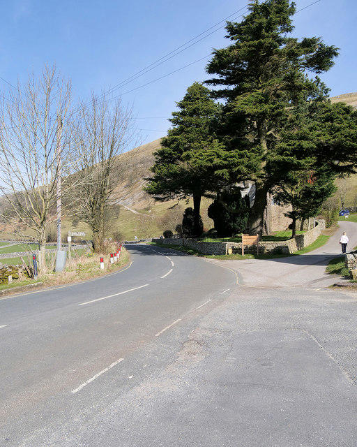
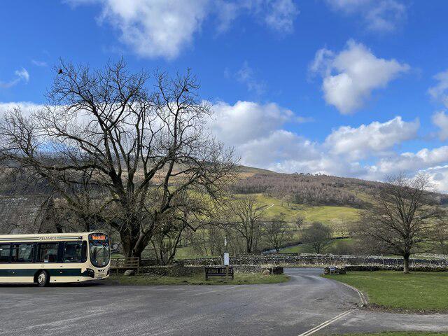
Start at the north walking gate of the Yorkshire Dales National Park pay-and-display car park in Buckden. Public toilets are at the car park, with refreshments in the village; check opening times before relying on them.

Climb the stony Buckden Rake bridleway through the woodland and gates. At the signed Buckden Pike junction, take the rising path east across Cow Close, rather than continuing towards Cray. Follow the meandering fell path to the upper slopes, where rock steps and paving lead to the summit trig pillar and shelter.

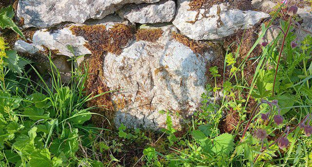
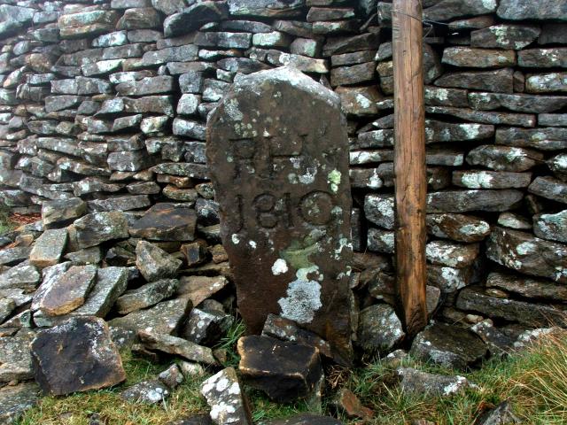
Continue south on the suggested route to the War Memorial, following the flagged path on the west side of the ridge wall. Use the stile and short path to the stone cross. Small pieces of Wellington N2848 remain beside the memorial and in its base. These are modest fragments, rather than an intact aircraft or large engine display. The bomber crashed in snow on 30 January 1942; five Polish crew members died. The sole survivor, Jozef Fusniak, later helped establish the memorial. Leave every fragment undisturbed.

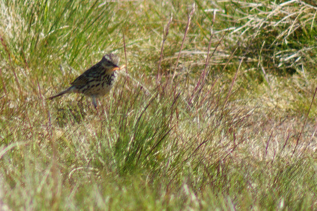
Return over the summit and down the same Cow Close path and Buckden Rake. Allow four and a half hours for the ascent, rough ground and a respectful stop. The upper fell is exposed, with boggy stretches and steep stone sections; carry an offline map and turn back if visibility deteriorates. Avoid the lead-mine route and its steeper gill. Sheep and ground-nesting birds use the fell. Check local access and dog notices, especially for the ridge extension across access land.

Route researched from the Buckden Pike roadbook, Paws Explore North’s 2025 return walk and National Park guidance; aircraft details from Yorkshire Aircraft. Map data © OpenStreetMap contributors (ODbL).

Walk details

Walk type
Out & back
Category
Upland / Hill
Distance
6.0 mi (9.7 km)
Est. time
4h 30m
Explorer
Yes, off the beaten track

Route map

Use the route details to plan your walk

If the map image does not load, the route description and starting-point details are still on this page.

The interactive map will load when you reach this section.

Where to start

Directions to start

Walking on your own?

Start when you're ready and add the walk to your history. No group date needed.

This walk is waiting for a date

Not ready to pick a date? Follow it and you'll hear when somebody else does.

No commitment. You can follow it now and pick a date later.

Joining a walk

A few things to know before you make plans.

Can I join if no one else is going?

You can be the first to join a scheduled walk. A suggested date is an idea for a group walk; choose Set this date up to organise it. Check the participant list and meeting details before setting off.

What if there is no date yet?

Choose Put a date on this walk to organise a group walk. Not ready to choose a day? Follow the route for scheduling updates, or save it for later.

What does the organiser do?

The organiser sets the date and meeting details and helps the group get started. They are a fellow walker and may be new to the route too.

Each walker is responsible for their own safety and navigation. Check the route, weather, equipment and whether the walk suits your experience and fitness.

Can I walk this route on my own?

Yes. Choose Walk this route on your own to open the start screen, then start when you are ready. Finish the walk to add it to your walking history. You do not need a group date.

What happens after I join?

Use the walk page to check meeting details, updates and who is going. Check in from 24 hours before the start to let the group know you still plan to come.

How do I confirm plans with the group?

Check the participant list and check-ins, and message the organiser or other walkers to confirm where to meet and who is coming. This is especially useful when the group is small.