
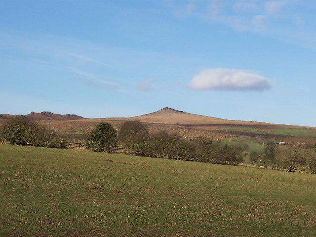
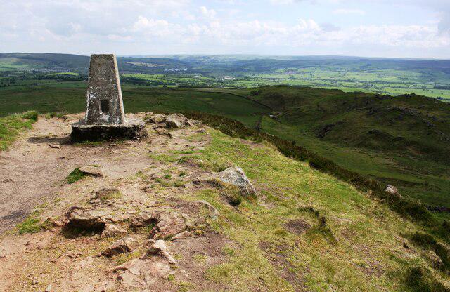
![SD9555 : A circular walk via Sharp Haw and Flasby [16]](https://cdn.walkmates.com/gallery-images/b421792b94ad4a2f85588d9c2a4afd61.jpg)
Upland / Hill
Circular
Medium
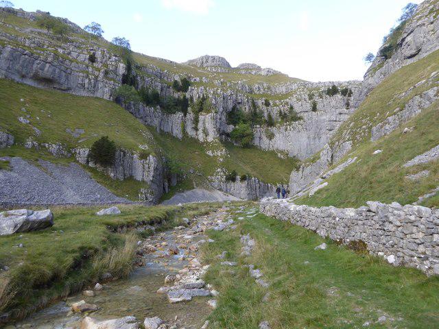
Malham Landscape Trail: Janet's Foss, Gordale Scar, and Malham Cove
PaulWalkmates
Walk organiser

No comments yet. Be the first.