
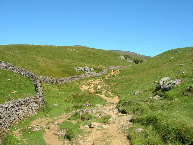
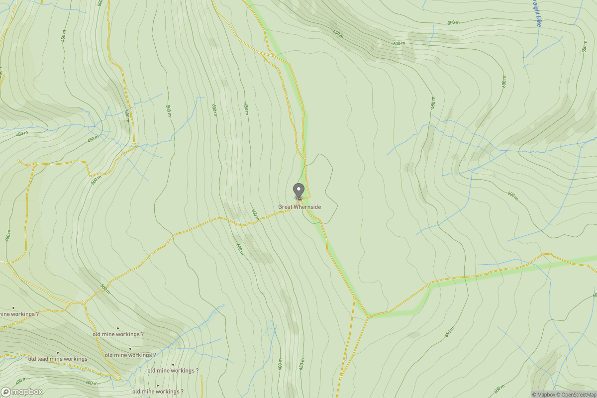
Upland / Hill
Circular
Medium
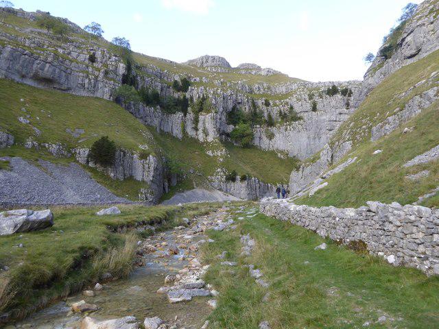
Malham Landscape Trail: Janet's Foss, Gordale Scar, and Malham Cove
PaulWalkmates
Walk organiser
No comments yet. Be the first.