
High Seat
Good walks are even better shared.
Overview
High Seat - A Hiker’s Delight
Overview
High Seat is a prominent hill located in the heart of the Lake District, with an elevation of 650 meters. It’s a well-loved peak, offering a variety of routes to cater to different hiking abilities. If you’re looking for a scenic stroll or a challenging trek, High Seat has something for everyone.
Geology
The mountain's rocky foundation tells a story of geological transformation, primarily composed of Skiddaw slate. These beautiful slate outcrops present both a challenge and an aesthetic delight as you ascend. Just make sure not to take them home as souvenirs!
Routes
High Seat from Bleaberry Fell
This moderately challenging route provides an excellent introduction to the area’s stunning scenery. The descent from Bleaberry often leaves hikers giddy with excitement, and the gradual ascent back to High Seat will have you feeling triumphant.
High Seat from Ashness Bridge
This more challenging route leads you through enchanting woodlands before tackling a steep final ascent. Be prepared to have your breath taken away—not just from the climb, but from the views that await!
Summit Features
The summit is adorned with a sizeable cairn, a nod to the countless hikers who have made it to the top. It’s the perfect spot to sit and enjoy a sandwich (or a cheeky snack) while relishing the breathtaking panorama.
Terrain
Expect a mixed bag of rocky paths, grassy knolls, and the occasional bog. Waterproof footwear is advised if you wish to remain a happy hiker rather than a soggy sponge.
Views
From the peak, the views are simply stunning! Derwentwater sparkles in the valley below, while the majestic Skiddaw range looms to the north. The best time for these views is during spring or autumn, when the colours are at their most vibrant.
Access
Reaching High Seat is straightforward. Park at Ashness Bridge where you’ll find ample parking (though it fills up fast!). Regular bus services from Keswick enhance accessibility.
Facilities
Facilities are limited on the hill itself, but Keswick is a stone’s throw away, offering an abundance of cafes and shops to recharge after your hike.
History
The name High Seat aptly signifies its purpose as a resting spot. Its cultural relevance grows with each hiker that visits, making it a cherished natural treasure in the Lake District.
In conclusion, High Seat is not just another hill; it’s a gentle giant offering an accessible adventure for all levels of hikers. So lace up your boots, grab your pack, and head out to experience this lovely peak for yourself!
Happy hiking!
Explore routes near High Seat
Walks starting near this hill. Open a route to check its map, distance and full itinerary.
Buckden Pike Wellington Wreckage and Memorial
View route
Pen-y-ghent from Horton in Ribblesdale
View route
Yorkshire Three Peaks Challenge – Gentle Pace
View route
Yorkshire Three Peaks Challenge – Sub-12 Hour
View route
Route planning notes
These notes describe possible approaches. Check a route's map and access information when planning your walk.
High Seat from Bleaberry Fell
A scenic route that starts from the summit of Bleaberry Fell, descending moderately before climbing steadily to High Seat. This route offers breathtaking views of the surrounding fells.
High Seat from Ashness Bridge
Starting from Ashness Bridge, this route meanders through woodland and opens up to stunning views. The ascent is gentle but leads to a steep final climb.
Make a day of it, together
Find someone to share the walk with, or organise a day out along a route you like.
Hill facts and local notes
Classifications
Elevation
709m
2,326 ft
Prominence
114m
Coordinates
54.4063, -2.3064
NY802012
OS Map
91 92
Explorer: OL19S
At the Summit
The summit of High Seat is marked by a large stone cairn and offers ample space for a picnic while taking in the surrounding views. The top provides a panoramic vista that’s well worth the climb.
Terrain & Geology
High Seat is primarily composed of Skiddaw slate, a distinctive rock formation that gives the area its rugged beauty. The slates here are remnants of ancient sedimentary rock, showcasing a fascinating geological history.
Views & Scenery
From the summit, you can gaze upon Derwentwater, the Skiddaw range, and on a clear day, you might even spot the Solway Firth stretching into the distance.
History & Heritage
Name Origin
The name 'High Seat' is thought to derive from its position as a prominent sitting spot, with 'Seat' referring to a place of rest or viewpoint.
Historical Significance
High Seat has been a popular spot for walkers and nature lovers for generations, celebrated for its tranquillity and stunning vistas.
Getting There & Facilities
Parking
The nearest parking is at Ashness Bridge, which provides a small car park but can fill up quickly, especially on sunny weekends.
Public Transport
Regular buses run from Keswick to the Ashness Bridge area, making it accessible for those without a vehicle.
Nearby Facilities
There are no facilities directly on the mountain, but Keswick offers numerous cafes, shops, and public toilets for added convenience.
Safety Information
Known Hazards
- Watch out for slippery rocks, especially after rain. Also, be wary of low visibility conditions that can creep up due to the Lake District's famously capricious weather.
General Safety Tips
- Check weather conditions before setting out
- Carry appropriate clothing and equipment
- Let someone know your planned route
- Take a map, compass, and GPS device
- Carry emergency supplies: food, water, first aid kit, torch
Hills
Some common questions about the hills answered
Are there group walks up High Seat?
Many walkers use Walkmates to join or organise walks with others. You can check for group walks around High Seat through the maps
Are there other walkers around High Seat?
Activity varies by location and time, but Walkmates lets you see whether others have shared walks or shown interest in this area. Find other people through the walking friends search walking friends for High Seat search or of course create your own walk for High Seat
Can I organise a walk to High Seat?
Yes. If there aren’t any walks listed already, you can create a walk and make it available for others to join.
If you're signed up to Walkmates, you can create a walk to High Seat.
How do I find a walk up this hill?
There are often multiple ways to walk this hill, depending on experience and route preference. Walkmates helps you explore walks and routes that others have shared.
Can I suggest a new route up High Seat?
Yes. You can suggest or create routes to share with others. Walkmates focuses on the social side of walking, so routes are used to help people organise walks and explore areas together, rather than as detailed navigation tools or route libraries.
Other uses really appreciate knowledgeable walkers sharing their routes. Share your favourite route to High Seat here
The is an error or something incorrect about this hill. How do I let you know?
We always strive to keep the information on Walkmates as accurate as possible. If you find an error, please let us know through the contact form and we'll aim to correct it as quickly as possible
Community Discussion
Comments
Location
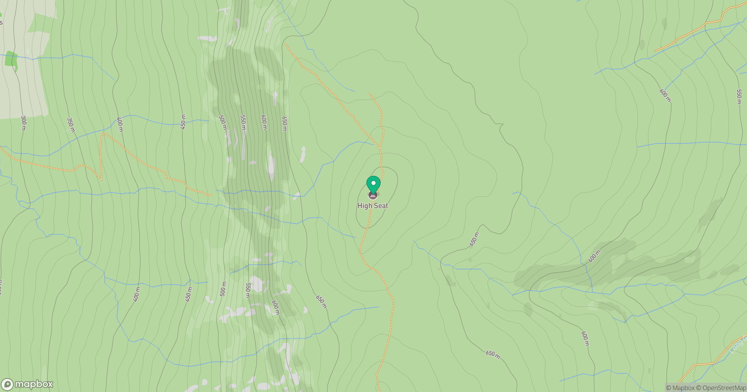
Grid reference: NY802012
View on OpenStreetMapOpens a map in a new tab, centred on the hill.



No comments yet. Be the first.