

Baugh Fell - Tarn Rigg Hill
Good walks are even better shared.
SD7491 : Misty moorland
John H Darch Photo source
Overview
Baugh Fell - Tarn Rigg Hill
Baugh Fell, standing majestically at 642 metres, is a delightful quintessential Yorkshire Dales hill offering vistas that can make any seasoned hiker weak at the knees. The trek here is one to remember, whether you are looking for solitude on a quiet mid-week walk or a merry jaunt with friends on a sunny weekend.
Geology
As you ascend, take a moment to appreciate the geology beneath your feet. The sandstone and limestone formations tell tales of a time long past, offering a glimpse into the Earth’s history. If only rocks could talk!
Access
For those eager to conquer Baugh Fell, parking is conveniently available in the quaint village of Newbiggin. While it may not be the sprawling lot of a supermarket, it serves its purpose well and has that lovely local charm. Public transport lovers can hop a train to Settle and then take a local bus to arrive at the starting point in a jiffy. Don't forget to check the scheduled bus times, as they may not run as frequently as your daily coffee fix!
Routes
The Baugh Fell Circular Route is a recommended choice, as it takes you through stunning vistas, ensuring both your camera and your legs are working overtime. It’s a moderate hike that’ll make you appreciate every step – and perhaps burn off that pint you’re eyeing at the pub!
Summit Features
Upon reaching the summit, the large cairn patiently awaits your arrival, completing the vista with its stoic presence. Take a moment to appreciate the panoramic beauty that unfolds before you: the sweeping hills from Whernside to Ingleborough beckon you to return.
Hazards
Keep an eye out for the boggy patches that might try to surprise you and remember that the weather is known for changing faster than you can take a selfie. Always pack proper hiking gear and check the forecast before setting off.
Conclusion
Baugh Fell - Tarn Rigg Hill is more than just another hill; it’s an experience. A place to invigorate the spirit and a reminder that the beauty of the Yorkshire Dales is right here, just waiting for you to explore. So lace up those hiking boots and set forth on an adventure. Don’t forget the camera; you’ll want to prove you’ve been here!
Explore routes near Baugh Fell - Tarn Rigg Hill
Walks starting near this hill. Open a route to check its map, distance and full itinerary.
Ingleton Waterfalls Walk
View route
Pen-y-ghent from Horton in Ribblesdale
View route
Yorkshire Three Peaks Challenge – Gentle Pace
View route
Yorkshire Three Peaks Challenge – Sub-12 Hour
View route
Route planning notes
These notes describe possible approaches. Check a route's map and access information when planning your walk.
Baugh Fell Circular Route
A scenic circular route starting from the small village of Newbiggin, leading hikers through rolling hills and lush green valleys to conquer Baugh Fell and Tarn Rigg Hill.
Make a day of it, together
Find someone to share the walk with, or organise a day out along a route you like.
Photo Gallery
View all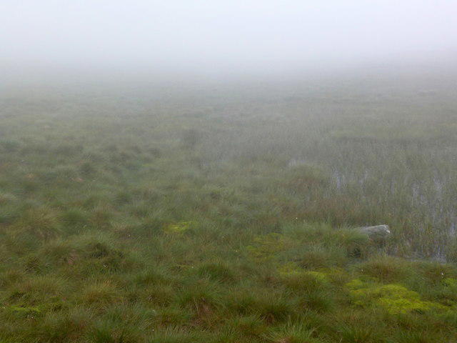 Photo could not load
SD7491 : Misty moorland
John H Darch
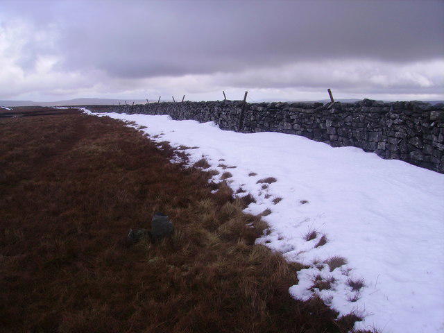 Photo could not load
SD7491 : Tarn Rigg Hill
Michael Graham
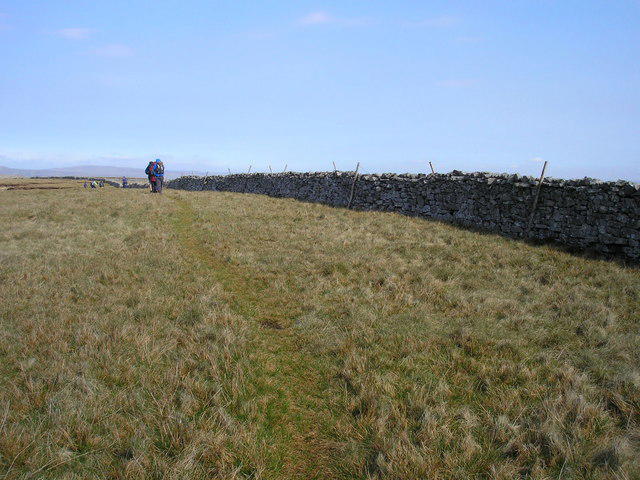 Photo could not load
SD7491 : Tarn Rigg Hill
John Illingworth
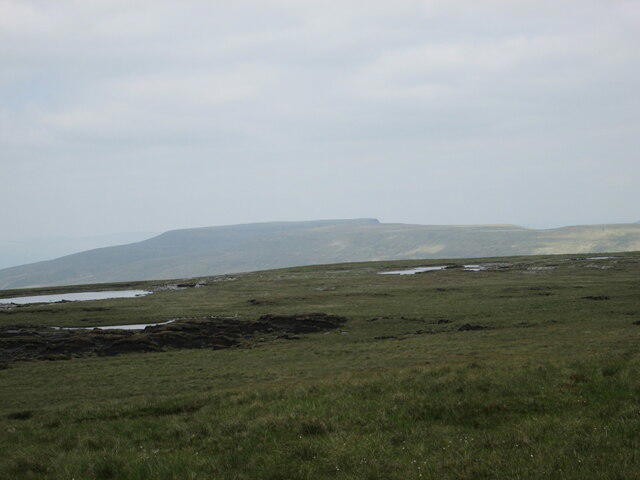 Photo could not load
SD7491 : Tarn Rigg Hill
T Eyre
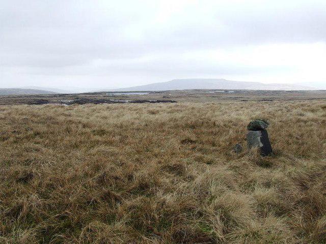 Photo could not load
SD7491 : Tarn Rigg Hill
Tim Glover
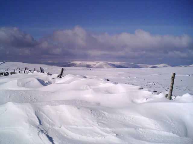 Photo could not load
SD7491 : Baugh Fell (Tarn Rigg Hill, NP12)
John Earnshaw
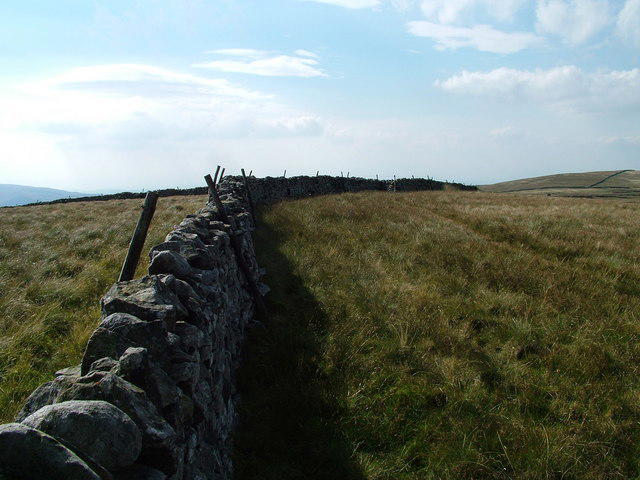 Photo could not load
SD7491 : Tarn Rigg Hill
David Brown
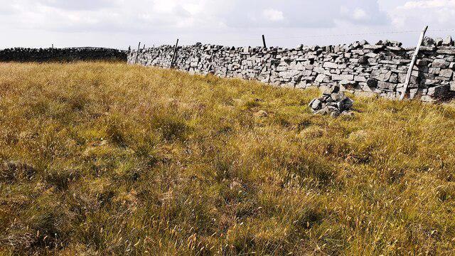 Photo could not load
SD7491 : Small cairn on Tarn Rigg Hill
Luke Shaw
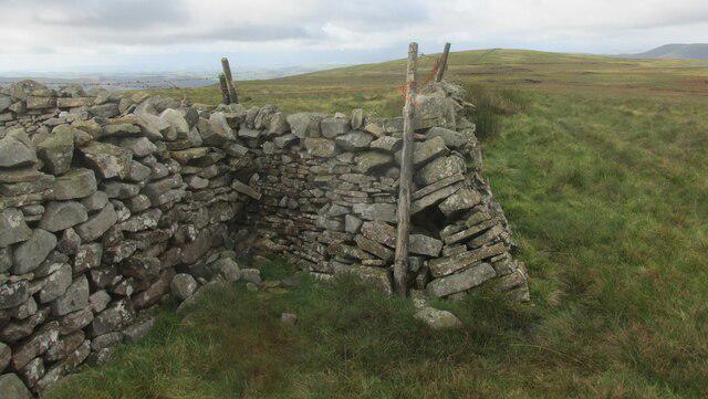 Photo could not load
SD7491 : Wall on the summit of Tarn Rigg Hill (Baugh Fell)
steven ruffles
Hill facts and local notes
Classifications
Elevation
678m
2,226 ft
Prominence
264m
Coordinates
54.3197, -2.3999
SD740916
OS Map
98
Explorer: OL19S
At the Summit
A sizable cairn marks the summit, accompanied by a stunning 360-degree panoramic view of the surrounding hills and valleys.
Terrain & Geology
The region mainly comprises limestone and sandstones, which are remnants of the Carboniferous period. The rock formations here give insight into millions of years of geological history.
Views & Scenery
From the summit, one can see the majestic vista of the Yorkshire Dales, including the peaks of Whernside and Ingleborough, as well as the picturesque valleys below.
History & Heritage
Name Origin
The name 'Baugh' is derived from Old Norse, meaning 'to wag', possibly referring to the hill’s shape, while 'Rigg' typically denotes a ridge or hill.
Historical Significance
Baugh Fell and Tarn Rigg Hill have historical significance, being part of the ancient trade routes and way-finding during local cattle drives in centuries past.
Getting There & Facilities
Parking
Parking can be found in the village of Newbiggin. There is a small off-road area suitable for vehicles, but it can fill up during busy weekends.
Public Transport
The nearest train station is located in Settle, from which local buses can reach Newbiggin. Check local schedules for timetables.
Nearby Facilities
There are no facilities on the summit itself, but Newbiggin offers a village pub and some cafes where refreshment can be enjoyed after a long hike.
Safety Information
Known Hazards
- Muddy and slippery tracks during wet seasons; ensure appropriate footwear. Be cautious of sudden changes in weather, as they can be quite unpredictable in the hills.
General Safety Tips
- Check weather conditions before setting out
- Carry appropriate clothing and equipment
- Let someone know your planned route
- Take a map, compass, and GPS device
- Carry emergency supplies: food, water, first aid kit, torch
Hills
Some common questions about the hills answered
Are there group walks up Baugh Fell - Tarn Rigg Hill?
Many walkers use Walkmates to join or organise walks with others. You can check for group walks around Baugh Fell - Tarn Rigg Hill through the maps
Are there other walkers around Baugh Fell - Tarn Rigg Hill?
Activity varies by location and time, but Walkmates lets you see whether others have shared walks or shown interest in this area. Find other people through the walking friends search walking friends for Baugh Fell - Tarn Rigg Hill search or of course create your own walk for Baugh Fell - Tarn Rigg Hill
Can I organise a walk to Baugh Fell - Tarn Rigg Hill?
Yes. If there aren’t any walks listed already, you can create a walk and make it available for others to join.
If you're signed up to Walkmates, you can create a walk to Baugh Fell - Tarn Rigg Hill.
How do I find a walk up this hill?
There are often multiple ways to walk this hill, depending on experience and route preference. Walkmates helps you explore walks and routes that others have shared.
Can I suggest a new route up Baugh Fell - Tarn Rigg Hill?
Yes. You can suggest or create routes to share with others. Walkmates focuses on the social side of walking, so routes are used to help people organise walks and explore areas together, rather than as detailed navigation tools or route libraries.
Other uses really appreciate knowledgeable walkers sharing their routes. Share your favourite route to Baugh Fell - Tarn Rigg Hill here
The is an error or something incorrect about this hill. How do I let you know?
We always strive to keep the information on Walkmates as accurate as possible. If you find an error, please let us know through the contact form and we'll aim to correct it as quickly as possible
Community Discussion
Comments
Location
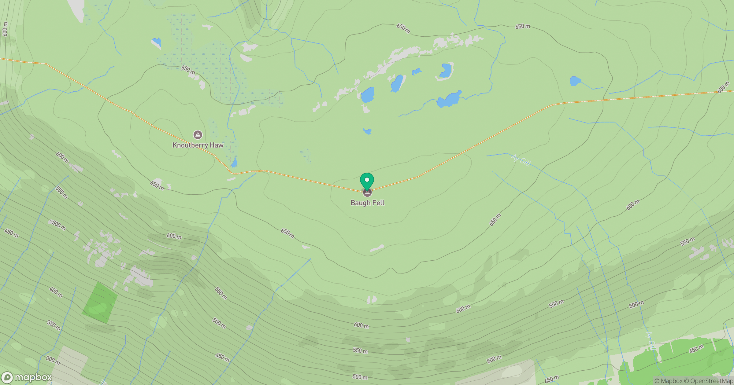
Grid reference: SD740916
View on OpenStreetMapOpens a map in a new tab, centred on the hill.



No comments yet. Be the first.