

Great Shunner Fell
Good walks are even better shared.
Overview
Great Shunner Fell
Great Shunner Fell, standing proud at 715 meters above sea level, is a prominent peak in the Yorkshire Dales National Park. Known as a Marilyn, it offers both challenge and beauty to hikers of all abilities.
Geology
The mountain's geological structure is fascinating, primarily consisting of sedimentary rocks. From the limestone at its base, which supports green pastures, you will find the landscape gradually transitions to gritstone and sandstone as you ascend, making it a geological treat for enthusiasts.
Routes
Two popular routes to the summit are the Hawes Route, which is around 11.5 km long and moderately challenging, and the easier Thwaite Route, which is shorter at 6.5 km. Both routes provide ample opportunities for spotting local wildlife and enjoying the pastoral scenery typical of the Yorkshire Dales.
Summit Features
Once at the summit, you will find a robust stone cairn and a trig point marking the highest point. These features are essential for any walking enthusiast's photo collection!
Terrain
Expect grassy slopes that occasionally turn rocky as you approach the summit. Although some parts may be boggy after rainfall, the paths are generally well-trodden and easy to follow.
Views
From Great Shunner Fell's summit, you're treated to breathtaking views of the surrounding valleys, the distant Howgill Fells, and, on a clear day, the three-peaked grandeur of the Yorkshire Dales. The best time to witness this spectacle is in spring or early autumn, with mornings often unveiling a stunning mist lingering in the valleys.
Hazards
As with all high-altitude hiking, vigilance is key. Be mindful of changeable weather—conditions can shift quickly, so pack accordingly. Also, with the potential of slippery paths, sturdy footwear is essential to keep you on your feet.
Access
Starting your adventure from Hawes allows for convenient access to parking and local facilities including shops, cafés, and toilets. Public transport options from nearby towns make this mountain accessible whether driving or relying on buses.
History
The name 'Shunner' hints at its rugged terrain; in Norse, it means 'to shun or avoid'. Throughout history, this peak has served not only as a navigational landmark for shepherds but also as an emblem of the Yorkshire Dales’ natural beauty that draws in outdoor enthusiasts from near and far.
In summary, Great Shunner Fell is not just a hike; it's a fulfilling journey through Yorkshire's rich natural and cultural landscape. So lace up those boots and be prepared to embrace the wonders of this marvellous mountain! Happy hiking!
Explore routes near Great Shunner Fell
Walks starting near this hill. Open a route to check its map, distance and full itinerary.
Buckden Pike Wellington Wreckage and Memorial
View route
Pen-y-ghent from Horton in Ribblesdale
View route
Yorkshire Three Peaks Challenge – Gentle Pace
View route
Yorkshire Three Peaks Challenge – Sub-12 Hour
View route
Route planning notes
These notes describe possible approaches. Check a route's map and access information when planning your walk.
Hawes Route
A popular route starting from the village of Hawes, this trail takes you through lush pastures and rolling hills before the climb to the summit.
Thwaite Route
This route begins in the charming village of Thwaite and offers panoramic views, making it a favourite among locals and visitors alike.
Make a day of it, together
Find someone to share the walk with, or organise a day out along a route you like.
Photo Gallery
View all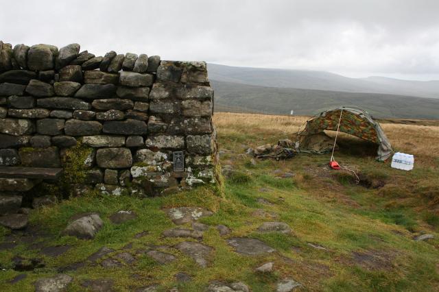 Photo could not load
SD8497 : Great Shunner Fell Trig Point.
Steve Partridge
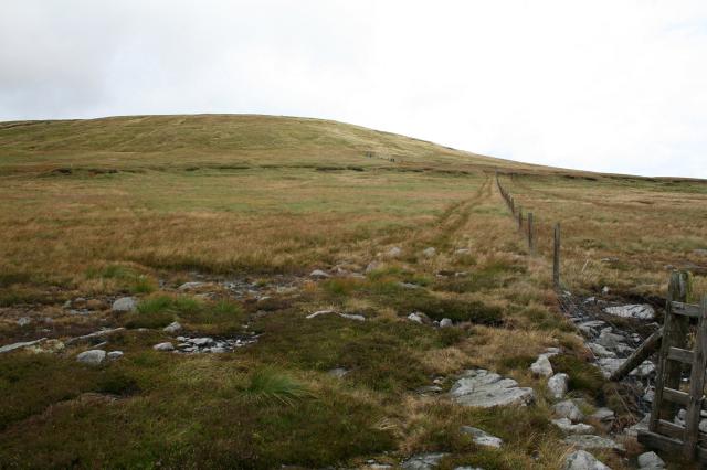 Photo could not load
SD8497 : Looking back to Great Shunner Fell
Steve Partridge
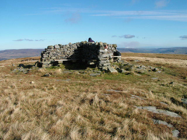 Photo could not load
SD8497 : Great Shunner Fell
David Brown
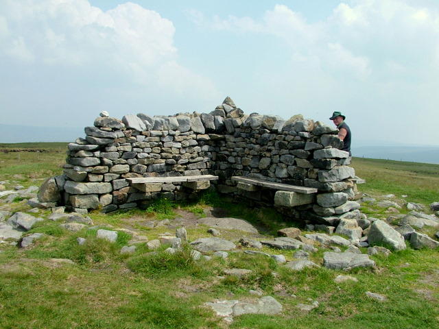 Photo could not load
SD8497 : Shelter on Great Shunner Fell
George Tod
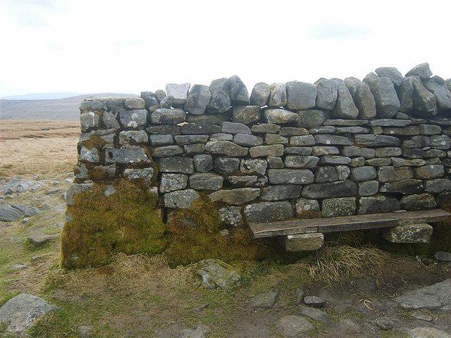 Photo could not load
SD8497 : Trig Pillar, Great Shunner Fell
Michael Graham
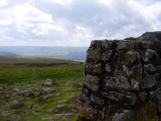 Photo could not load
SD8497 : Trig point on Great Shunner Fell
steven ruffles
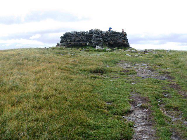 Photo could not load
SD8497 : Approaching the summit of Great Shunner Fell
Philip Barker
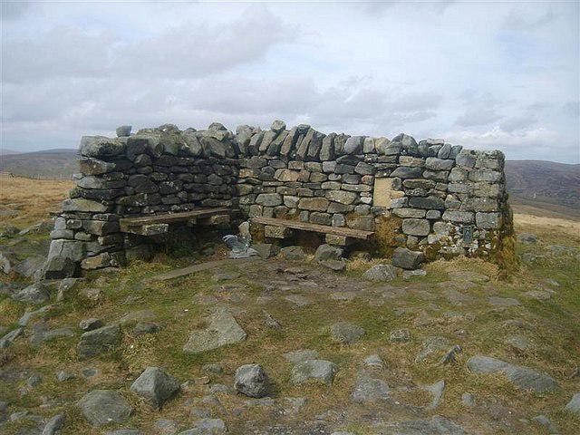 Photo could not load
SD8497 : Windshelter, Great Shunner Fell
Michael Graham
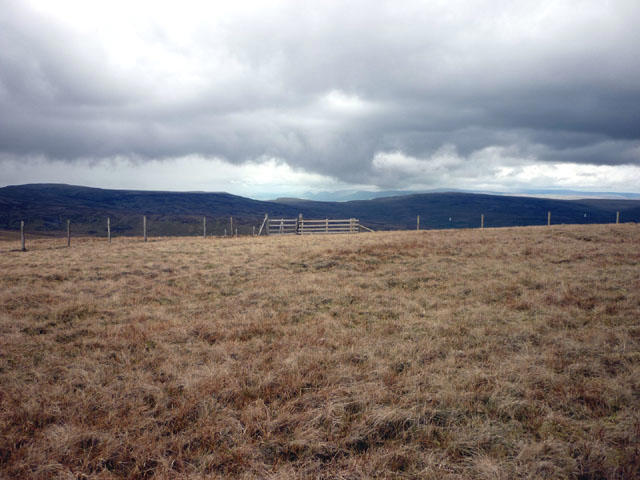 Photo could not load
SD8497 : Looking north west from Great Shunner Fell
Karl and Ali
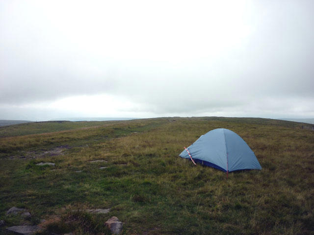
SD8497 : The summit dome, Great Shunner Fell
Karl and Ali
Hill facts and local notes
Classifications
Elevation
716m
2,348 ft
Prominence
295m
Coordinates
54.3709, -2.2345
SD848972
OS Map
98
Explorer: OL19S OL30N
At the Summit
The summit features a large stone cairn and a trig point, making it a prime photo opportunity for groups and solo adventurers alike.
Terrain & Geology
The mountain is primarily formed of sedimentary rock, with limestone at lower elevations giving way to gritstone and sandstone as you ascend, creating a diverse and interesting geological landscape.
Views & Scenery
From the summit, you can enjoy sweeping views of the Yorkshire Dales, the valleys below, and the distant peaks of the Howgill Fells.
History & Heritage
Name Origin
The name 'Shunner' is believed to originate from the Old Norse word meaning 'to shun or avoid', possibly referring to the rugged terrain.
Historical Significance
Great Shunner Fell holds historical significance as a landmark for local shepherds and remains a popular destination for hikers seeking the natural beauty of the Yorkshire Dales.
Getting There & Facilities
Parking
The nearest parking is available in the village of Hawes, where several car parks cater to walkers, typically charging a modest fee.
Public Transport
Regular bus services operate to Hawes from nearby towns such as Leyburn and Richmond, making it accessible for those without a car.
Nearby Facilities
Hawes has several cafes, pubs, and shops, as well as public toilets, making it a convenient starting point for your adventure.
Safety Information
Known Hazards
- Be aware of changing weather conditions, especially the risk of low visibility due to fog. Slippery paths can occur after rains, so sturdy footwear is advised.
General Safety Tips
- Check weather conditions before setting out
- Carry appropriate clothing and equipment
- Let someone know your planned route
- Take a map, compass, and GPS device
- Carry emergency supplies: food, water, first aid kit, torch
Hills
Some common questions about the hills answered
Are there group walks up Great Shunner Fell?
Many walkers use Walkmates to join or organise walks with others. You can check for group walks around Great Shunner Fell through the maps
Are there other walkers around Great Shunner Fell?
Activity varies by location and time, but Walkmates lets you see whether others have shared walks or shown interest in this area. Find other people through the walking friends search walking friends for Great Shunner Fell search or of course create your own walk for Great Shunner Fell
Can I organise a walk to Great Shunner Fell?
Yes. If there aren’t any walks listed already, you can create a walk and make it available for others to join.
If you're signed up to Walkmates, you can create a walk to Great Shunner Fell.
How do I find a walk up this hill?
There are often multiple ways to walk this hill, depending on experience and route preference. Walkmates helps you explore walks and routes that others have shared.
Can I suggest a new route up Great Shunner Fell?
Yes. You can suggest or create routes to share with others. Walkmates focuses on the social side of walking, so routes are used to help people organise walks and explore areas together, rather than as detailed navigation tools or route libraries.
Other uses really appreciate knowledgeable walkers sharing their routes. Share your favourite route to Great Shunner Fell here
The is an error or something incorrect about this hill. How do I let you know?
We always strive to keep the information on Walkmates as accurate as possible. If you find an error, please let us know through the contact form and we'll aim to correct it as quickly as possible
Community Discussion
Comments
Location
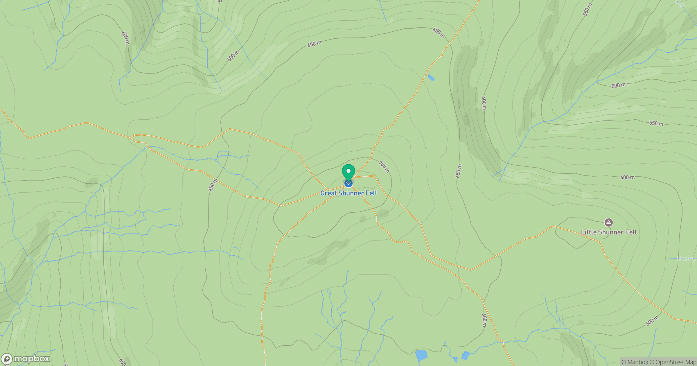
Grid reference: SD848972
View on OpenStreetMapOpens a map in a new tab, centred on the hill.



No comments yet. Be the first.