

Failand Hill
Good walks are even better shared.
Overview
Failand Hill: An Overview
Failand Hill truly serves as a gem nestled in North Somerset, just a stone's throw from Bristol. With an elevation of 135 meters, it may not qualify as a 'let’s-strain-my-lungs' peak, but what it lacks in height, it makes up for in stunning vistas and delightful nature walks.
Geology
The hill's geology is quite the conversation starter with limestone and sandstone at its core, serving as a reminder of the region's ancient environments. It’s certainly a spot worth visiting if you're interested in karst formations, as limestone weathering has sculpted the landscape beautifully.
Routes
The most popular route to the summit is the Failand Hill Circular Walk, which starts in the village of Failand. It's a moderate trek that should take about 1.5 hours to complete, taking you through some charming woodlands and open fields. Don’t forget your camera; these views aren’t just eye candy!
Summit Features
At the very top, the summit features a small but heartwarming stone cairn, reminiscent of your first successful attempt at building a sandcastle!
Terrain Type
Expect a mix of grassy paths with a few rocky accents. The footpaths are well-maintained, although you might encounter some muddy patches after a sudden downpour.
Views
The views from Failand Hill are nothing short of spectacular! You can gaze upon the expansive Bristol Channel, spot the iconic Clifton Suspension Bridge, and if you're lucky, even see the majestic Brecon Beacons way off in the distance. Spring and early autumn tend to provide the clearest and most delightful vistas, so plan your visit accordingly!
Hazards
While generally safe, do be aware that paths can become muddy in wetter months, making it a slip-and-slide adventure if you're not careful. Also, some areas near the edges offer steep drops—keep your feet on solid ground and your wits about you!
Access
Getting to Failand Hill is quite simple. You can park near the village centre, just stay away from those pesky no-parking signs. The Number 3 bus from Bristol will drop you close by, with a short walk leading you to the path up the hill. The nearest town is Bristol, meaning you're never too far from urban comforts!
Facilities
Fortunately, if you fancy a pre- or post-hike treat, Failand boasts several quaint cafes to satisfy your cravings, and nearby Nailsea has more extensive facilities, including public toilets.
History
As for the history, the name ‘Failand’ has a delightful etymology, possibly referring to fairy land—perfect for raising your spirits as you hike among nature’s beauty!
In summary, Failand Hill may not be the highest peak, but it offers a splendid combination of manageable hiking, breathtaking views, and a touch of local charm. So grab your boots, and don’t miss out on this hidden treasure of Somerset!
Explore routes near Failand Hill
Public walks starting within 80 km of this hill. Nearby does not mean a route reaches the summit; check its map and access before setting out.
Ashton Court Circular with Quarry
View route
Bristol Floating Harbour: SS Great Britain and maritime heritage circuit
View route
Yatton to Sandford Strawberry Line and Cider Orchards
View route
Bristol Walk with Men Walking & Talking
View route
Route planning notes
These notes describe possible approaches, not verified navigable routes or permission to cross land. Check current paths, local access rules and conditions before setting out.
Failand Hill Circular Walk
This picturesque route starts from the village of Failand, meandering through charming woodlands and open fields before ascending the hill for rewarding views.
Make a day of it, together
Find someone to share the walk with, or organise a day out along a route you like.
Photo Gallery
View all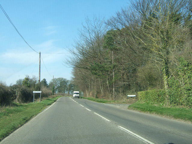 Photo could not load
ST5172 : The turning to Lower Failand
Ruth Riddle
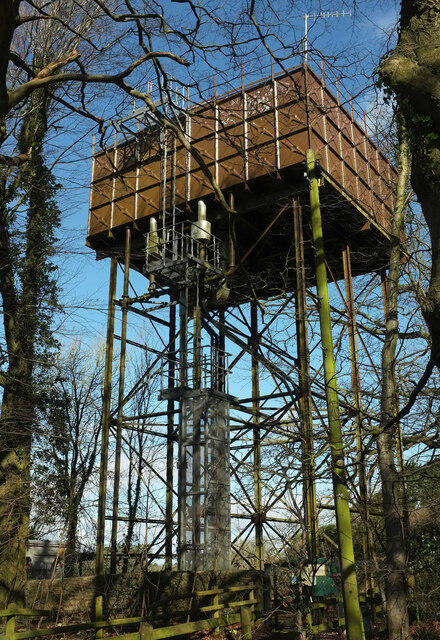 Photo could not load
ST5072 : Tank by the B3128
Derek Harper
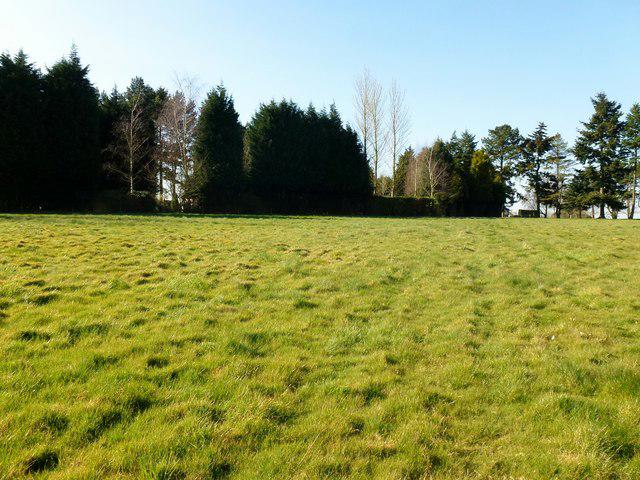 Photo could not load
ST5172 : Failand Hill
Rude Health
Hill facts and local notes
Classifications
Elevation
164m
538 ft
Prominence
116m
Coordinates
51.4464, -2.7064
ST510721
OS Map
172
Explorer: 154
At the Summit
At the summit, you'll find a modest stone cairn and a stunning view over the Bristol Channel and the nearby city of Bristol. Anglers may well call this their 'triumph'!
Terrain & Geology
Failand Hill is primarily composed of sedimentary stones, with limestone and sandstone forming the bedrock. The area also features some interesting karst landscapes due to the limestone geology.
Views & Scenery
From the summit, one can see the Bristol Channel, the iconic Clifton Suspension Bridge, and on a clear day, even the distant Brecon Beacons.
History & Heritage
Name Origin
The name 'Failand' is thought to derive from the Old English meaning 'land of the fae' or fairies, which adds a touch of whimsy to your hiking adventure.
Historical Significance
Failand Hill has been a popular area for local hikers and nature enthusiasts, with its rich biodiversity and scenic views historically attracting visitors for generations.
Getting There & Facilities
Check current local access restrictions, parking rules and transport timetables before travelling. These notes do not confirm public access to the summit.
Parking
There is roadside parking available in Failand, near the village centre. Just make sure not to park where signage prohibits!
Public Transport
You can catch the Number 3 bus from Bristol to Nailsea and then a short walk leads to Failand.
Nearby Facilities
There are several cafes in Failand and facilities available in nearby Nailsea, as well as public toilets in the village.
Safety Information
Known Hazards
- Muddy paths during wet weather; be cautious near the edges as some areas can be steep.
General Safety Tips
- Check weather conditions before setting out
- Carry appropriate clothing and equipment
- Let someone know your planned route
- Take a map, compass, and GPS device
- Carry emergency supplies: food, water, first aid kit, torch
Hills
Some common questions about the hills answered
Are there group walks up Failand Hill?
Many walkers use Walkmates to join or organise walks with others. You can check for group walks around Failand Hill through the maps
Are there other walkers around Failand Hill?
Activity varies by location and time, but Walkmates lets you see whether others have shared walks or shown interest in this area. Find other people through the walking friends search walking friends for Failand Hill search or of course create your own walk for Failand Hill
Can I organise a walk to Failand Hill?
Yes. If there aren’t any walks listed already, you can create a walk and make it available for others to join.
If you're signed up to Walkmates, you can create a walk to Failand Hill.
How do I find a walk up this hill?
There are often multiple ways to walk this hill, depending on experience and route preference. Walkmates helps you explore walks and routes that others have shared.
Can I suggest a new route up Failand Hill?
Yes. You can suggest or create routes to share with others. Walkmates focuses on the social side of walking, so routes are used to help people organise walks and explore areas together, rather than as detailed navigation tools or route libraries.
Other uses really appreciate knowledgeable walkers sharing their routes. Share your favourite route to Failand Hill here
The is an error or something incorrect about this hill. How do I let you know?
We always strive to keep the information on Walkmates as accurate as possible. If you find an error, please let us know through the contact form and we'll aim to correct it as quickly as possible
Community Discussion
Comments
Location
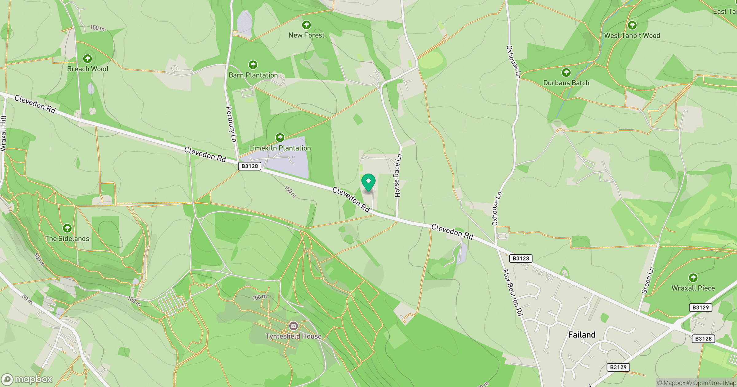
Grid reference: ST510721
View on OpenStreetMapOpens a map in a new tab, centred on the hill.
Hills within 30 km
Straight-line distance, not a walking route or confirmation of access.
No comments yet. Be the first.