Circular
Felton–Barrow tanks–Wilford
PaulWalkmates
Walk organiser

Dundry Down Group Walks | Join a Walk
Join group walks, find walking companions and friends, or organise your own!
Don't walk alone! Find friendly walkers to explore Dundry Down together. Join scheduled group walks or start your own.
Elevation
233m
764 ft
Prominence
171m
Coordinates
51.3977, -2.6434
ST553667
OS Map
172 182
Explorer: 154 155
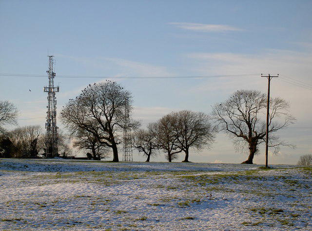
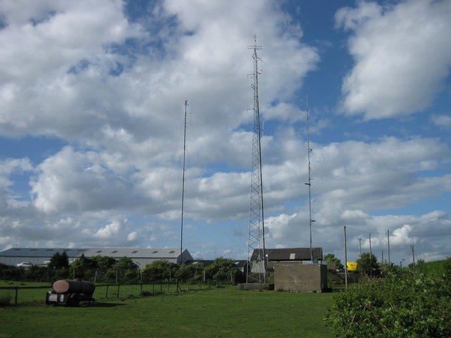
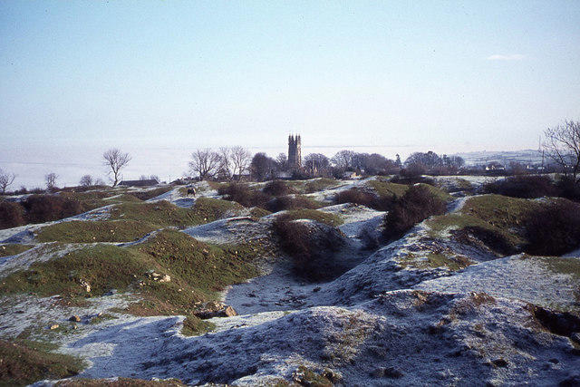
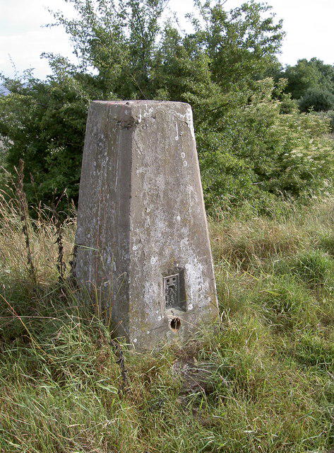
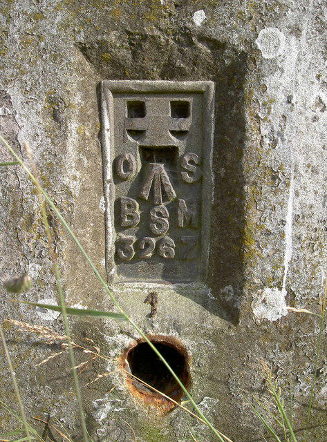
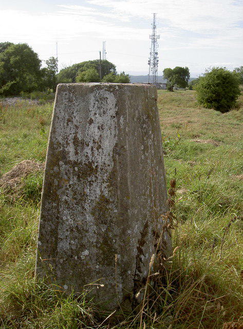
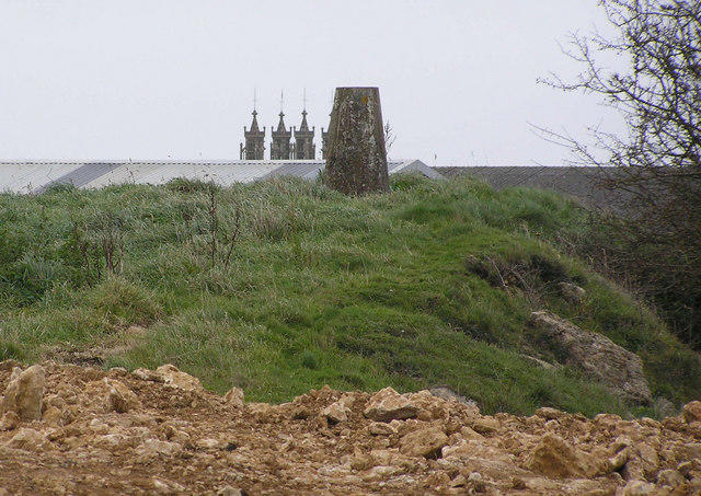
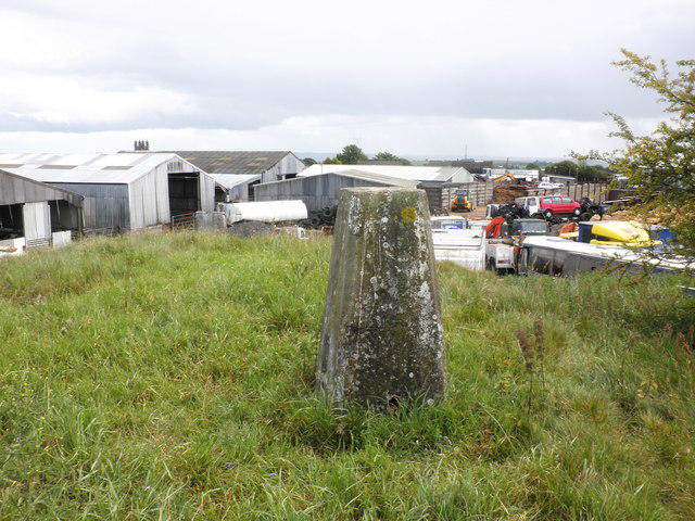
The summit features a prominent trig point, providing an excellent photo opportunity. There are also several ancient beech trees that add charm to the area.
Dundry Down is primarily composed of limestone, which is characteristic of the Mendip Hills. The area showcases interesting geological formations, including lime-rich drifts and caves that date back to the Jurassic period.
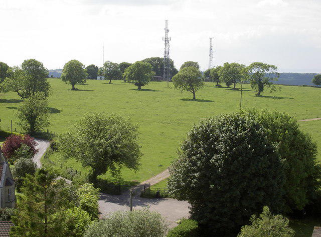
From the summit, hikers can feast their eyes on the stunning vistas of the Bristol Channel, the city of Bristol, and the surrounding Mendip Hills.
The name 'Dundry' derives from the Old English for 'hill where the fort is located'.
Dundry Down has historical significance as it was once a strategic lookout point, and its surrounding area is rich in archaeological finds.
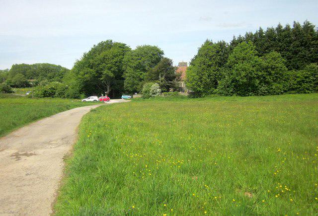
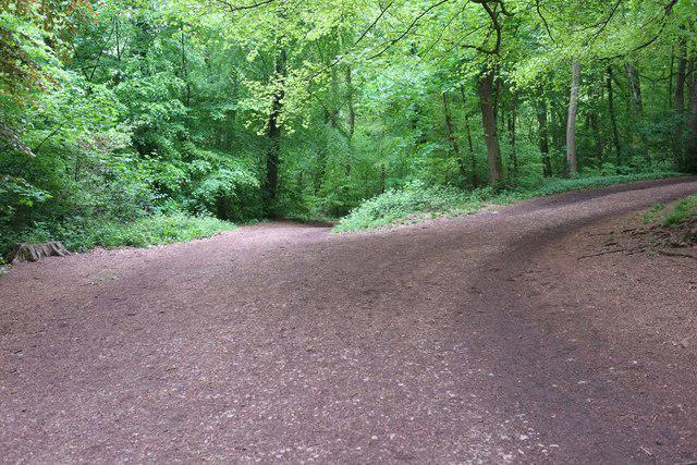
A popular circular route that takes you around the hill, offering scenic views and a chance to explore the local flora and fauna.
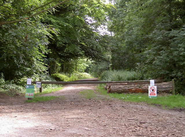
A straightforward walk from Dundry village leading directly to the summit with a gradual incline.
There is a small car park at the top of Dundry Hill, accessible from the main road.
Buses from Bristol city centre (stopping at the nearby Dundry village) connect to the area. Check local schedules for the best options.
There are no facilities on the hill itself, but several pubs and cafes can be found in Dundry village and Bristol, offering a well-deserved cuppa after your hike.
Join friendly walkers exploring Dundry Down and surrounding area
More walks starting close to this area
Create a walk and let others join you. It's free and easy!
Some common questions about the hills answered
Many walkers use Walkmates to join or organise walks with others. You can check for group walks around Dundry Down through the maps
Activity varies by location and time, but Walkmates lets you see whether others have shared walks or shown interest in this area. Find other people through the walking friends search walking friends for Dundry Down search or of course create your own walk for Dundry Down
Yes. If there aren’t any walks listed already, you can create a walk and make it available for others to join.
If you're signed up to Walkmates, you can create a walk to Dundry Down.
There are often multiple ways to walk this hill, depending on experience and route preference. Walkmates helps you explore walks and routes that others have shared.
Yes. You can suggest or create routes to share with others. Walkmates focuses on the social side of walking, so routes are used to help people organise walks and explore areas together, rather than as detailed navigation tools or route libraries.
Other uses really appreciate knowledgeable walkers sharing their routes. Share your favourite route to Dundry Down here
We always strive to keep the information on Walkmates as accurate as possible. If you find an error, please let us know through the contact form and we'll aim to correct it as quickly as possible
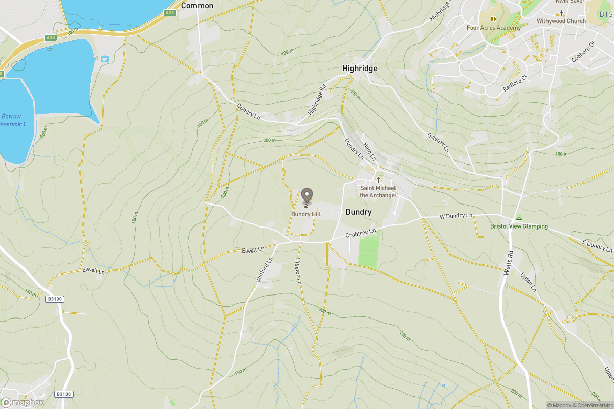
Grid Ref: ST553667
+ 5 more nearby hills
Find more walking companions in the area
No comments yet. Be the first.