

Wavering Down
Good walks are even better shared.
Overview
Wavering Down
Wavering Down, standing gracefully at 181 meters, is a delightful Marilyn in the Mendip Hills, known for its striking limestone geology and breathtaking views. A walk here combines not just exercise, but an appreciation for the stunning natural landscape.
Geology
The bedrock of Wavering Down is primarily limestone, which provides a unique terrain perfect for those interested in geology. The hill showcases karst features that make for fascinating exploration. Break out your geology hammer—though maybe leave it at home unless you fancy an unplanned geological workshop!
Hiking Routes
One of the best routes to experience the charm of Wavering Down is the Wavering Down Circular. The track begins in the picturesque village of Blagdon and takes you through lush woodlands and open fields. Expect a distance of approximately 5km, typically taking around 2.5 hours to complete.
Summit Features
At the peak, hikers are greeted by a well-preserved trig point, offering the perfect backdrop for a quick selfie with nature. You'll also find a whimsical stone feature—rumoured to have been the throne of local woodland spirits!
Terrain
The terrain varies between grassy expanses and rocky outcrops, perfect for those who like a little bit of everything. Just remember to watch your footing, especially near the steeper sections—no one wants to be the subject of a YouTube fail compilation!
Views
The views from the top are nothing short of marvellous. On a clear day, the scenery stretches towards the Bristol Channel and the stunning Black Mountains. The best times to visit for these panoramic sights are during the spring and autumn when nature puts on its most vibrant display.
Hazards
As with any hike, there are hazards to consider. Steep drop-offs near the cliffs mean caution is key. Bring an extra dose of common sense along, and you’ll enjoy your visit in one piece!
Nearby Summits
Be sure not to miss the opportunities to visit nearby summits like Chapel Hill and Skirrid Fawr. Both offer unique perspectives of the surrounding lands and are well worth the extra footwork.
Access
The closest parking can be found at the Blagdon Village Hall, making the start of your adventure quite accessible. For those relying on public transport, bus services from Bristol run regularly, allowing you to soak in the sights without the hassle of driving. Blagdon also provides all the charm of a quaint village, with the nearest facilities just a stone's throw away.
Facilities
Before you head out or once you return, stop by the local café for a delightful cream tea. Trust me, after a hike, it’s the kind of reward that’ll make your taste buds dance.
History
The very name 'Wavering Down' reflects its undulating topography, and the 'Down' part connects it to the picturesque hills of southwest England. Historically, this area has been an assembly point for villagers—a setting ripe with folklore and local legends.
In summary, Wavering Down is a gem in the Mendip Hills that invites hikers to revel in the splendour of nature while soaking in a bit of local lore. Make sure it’s on your hiking bucket list!
Explore routes near Wavering Down
Public walks starting within 80 km of this hill. Nearby does not mean a route reaches the summit; check its map and access before setting out.
Cheddar River Yeo and Stubbingham Drove Circuit
View route
Weston-super-Mare Walk with Men Walking & Talking
View route
Yatton to Sandford Strawberry Line and Cider Orchards
View route
Three Priddy Droves: Pelting, Dursdon and East Water circuit
View route
Route planning notes
These notes describe possible approaches, not verified navigable routes or permission to cross land. Check current paths, local access rules and conditions before setting out.
Wavering Down Circular
A scenic circular walk starting from the village of Blagdon, offering a combination of woodland trails and open pasture.
Make a day of it, together
Find someone to share the walk with, or organise a day out along a route you like.
Photo Gallery
View all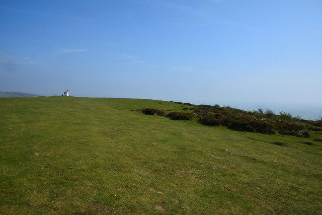 Photo could not load
ST4055 : Sedgemoor : Wavering Down
Lewis Clarke
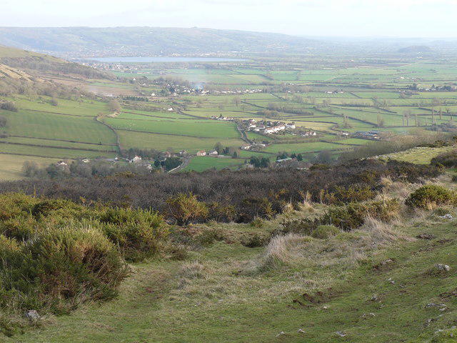 Photo could not load
ST4055 : Burn completed successfully
Paul Harvey
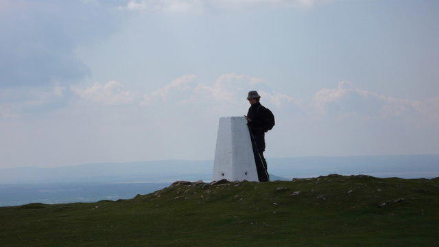 Photo could not load
ST4055 : Summit of Wavering Down with triangulation pillar
Anthony O'Neil
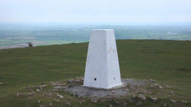 Photo could not load
ST4055 : Triangulation pillar, top of Wavering Down
Anthony O'Neil
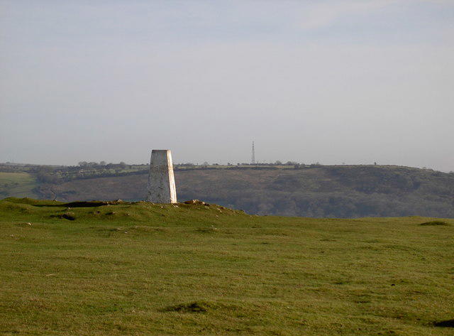 Photo could not load
ST4055 : Wavering Down and Fry's Hill
Neil Owen
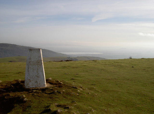 Photo could not load
ST4055 : South of the Mendips
Neil Owen
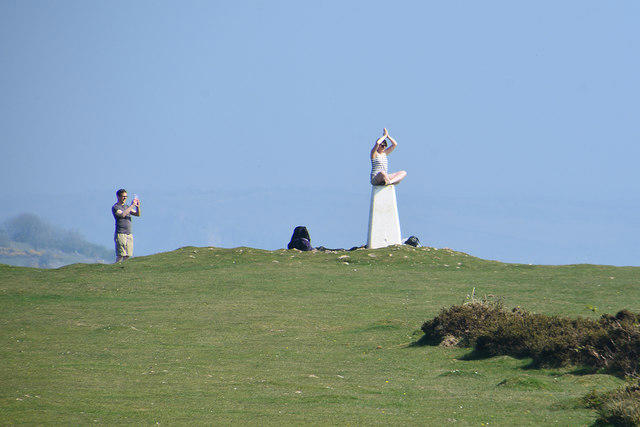 Photo could not load
ST4055 : Sedgemoor : Wavering Down
Lewis Clarke
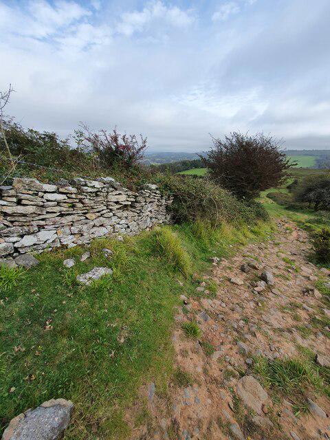 Photo could not load
ST4055 : Wall, Wavering Down, Somerset
V1ncenze
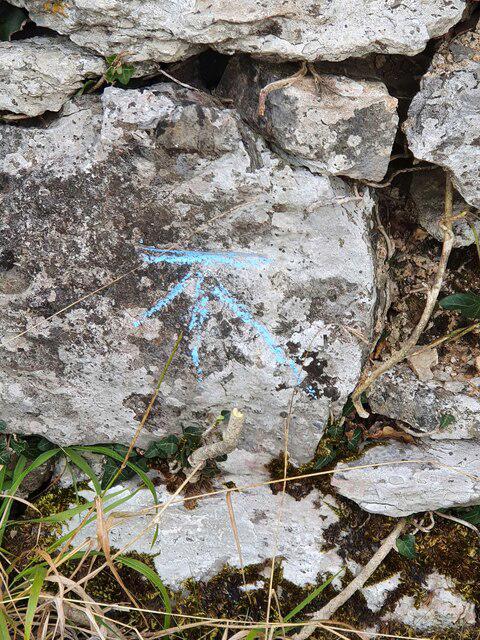 Photo could not load
ST4055 : Ordnance Survey bench Mark
V1ncenze
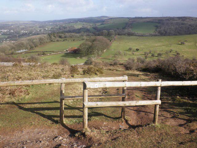
ST4055 : Barrier to horse riders on West Mendip Way
Roger Cornfoot
Hill facts and local notes
Classifications
Elevation
211m
692 ft
Prominence
132m
Coordinates
51.2992, -2.8520
ST407559
OS Map
172 182
Explorer: 141 153
At the Summit
The summit features a prominent trig point, perfect for those Instagram snaps. There’s also a small, weathered stone feature resembling something straight out of a fairy tale.
Terrain & Geology
Wavering Down is primarily composed of limestone, which is characteristic of the Mendip Hills. The underlying rock gives rise to a variety of karst features, including sinkholes and dramatic cliffs.
Views & Scenery
On a clear day, you can see as far as the Bristol Channel and the Black Mountains in Wales. The rolling hills are a sight to behold, especially during sunset when the sky transforms into a painter's palette.
History & Heritage
Name Origin
Wavering refers to the undulating shape of the hill, with 'Down' being a common term for hills in the southwest of England.
Historical Significance
Historically, Wavering Down has been a gathering place for locals, with past tales of mossy parties and a few ghost stories thrown in for good measure.
Getting There & Facilities
Check current local access restrictions, parking rules and transport timetables before travelling. These notes do not confirm public access to the summit.
Parking
The nearest parking is available at the Blagdon Village Hall, a short walk from the starting point of the Wavering Down Circular route.
Public Transport
Bus services from Bristol operate regularly, with the nearest stop located in Blagdon.
Nearby Facilities
There’s a lovely café in Blagdon where you can grab a cream tea or a pint before or after your hike. Public toilets are also available nearby.
Safety Information
Known Hazards
- Steep drop-offs in certain areas, especially near the cliffs. Watch your step, and don't take unnecessary risks to grab that photo!
General Safety Tips
- Check weather conditions before setting out
- Carry appropriate clothing and equipment
- Let someone know your planned route
- Take a map, compass, and GPS device
- Carry emergency supplies: food, water, first aid kit, torch
Hills
Some common questions about the hills answered
Are there group walks up Wavering Down?
Many walkers use Walkmates to join or organise walks with others. You can check for group walks around Wavering Down through the maps
Are there other walkers around Wavering Down?
Activity varies by location and time, but Walkmates lets you see whether others have shared walks or shown interest in this area. Find other people through the walking friends search walking friends for Wavering Down search or of course create your own walk for Wavering Down
Can I organise a walk to Wavering Down?
Yes. If there aren’t any walks listed already, you can create a walk and make it available for others to join.
If you're signed up to Walkmates, you can create a walk to Wavering Down.
How do I find a walk up this hill?
There are often multiple ways to walk this hill, depending on experience and route preference. Walkmates helps you explore walks and routes that others have shared.
Can I suggest a new route up Wavering Down?
Yes. You can suggest or create routes to share with others. Walkmates focuses on the social side of walking, so routes are used to help people organise walks and explore areas together, rather than as detailed navigation tools or route libraries.
Other uses really appreciate knowledgeable walkers sharing their routes. Share your favourite route to Wavering Down here
The is an error or something incorrect about this hill. How do I let you know?
We always strive to keep the information on Walkmates as accurate as possible. If you find an error, please let us know through the contact form and we'll aim to correct it as quickly as possible
Community Discussion
Comments
Location
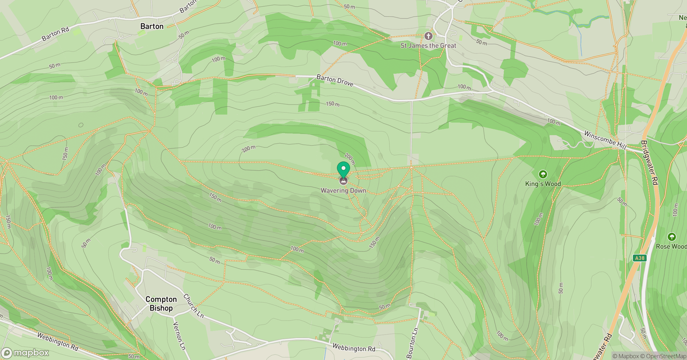
Grid reference: ST407559
View on OpenStreetMapOpens a map in a new tab, centred on the hill.
Hills within 30 km
Straight-line distance, not a walking route or confirmation of access.
Glastonbury Tor
158m
Bleadon Hill [Loxton Hill]
176m
Brent Knoll
139m
Beacon Batch
324m
Worlebury Hill
109m
No comments yet. Be the first.