

Bathford Hill
Good walks are even better shared.
Overview
Bathford Hill
Nestled in Somerset, Bathford Hill stands at an elevation of 105 meters and offers hikers a delightful experience of the local countryside. Whether you're a seasoned walker or someone who prefers a leisurely stroll, there is a route here suited to your preference.
Geology
Bathford Hill is primarily limestone, a rock that doesn't just provide a sturdy base but also fosters a rich habitat for various plants and animals. Who thought geology could be so interesting? Well, it is! You might even discover some fossilised remains if you look closely.
Access and Facilities
The nearest parking is conveniently located at the Bathford Village car park. It's a straightforward place to park your car, and it only takes a short stroll before you're heading up the hill. For those reliant on public transport, you're in luck! Buses run regularly from Bath to Bathford, making the hike accessible without a vehicle. After your trek, why not stop by one of the village's quaint cafes for a slice of cake? You’ve earned it!
Routes
- Circular Walk from Bathford Village: This easy route spans approximately 4.5 km and takes around 1.5 hours. You'll meander through gentle slopes, making it an excellent option for families.
- Ascend via Bathford Hill Path: For those seeking a bit more of a workout, this moderate route provides a more direct and steeper ascent of about 2 km, taking around 1 hour.
Summit Features
The summit boasts a small stone cairn—perfect for a selfie or two! From this vantage point, you'll be rewarded with breathtaking views of the surrounding countryside, making you feel like you’re on top of the world (or at least the top of this lovely hill).
Views
On clear days, catch glimpses of Bath's historic landmarks, including the stunning Bath Abbey. The best times for spectacular views are typically spring and autumn—when the weather is just right and the scenery is particularly captivating.
Hazards
As with all hikes, be mindful of your surroundings! The rocks can become slippery post-rain, and proper footwear is a must. Keep an eye on the noticeably steeper edges as well.
Nearby Summits
For those looking to extend their adventure, nearby summits include Claverton Down at 125 meters and Winsley Hill, a bit taller at 210 meters.
Conclusion
In conclusion, Bathford Hill promises a charming outing filled with stunning views, rich geology, and a taste of local heritage. Whether you decide to trek up its paths or opt for a gentle stroll, you're bound to come away with fond memories—or at the very least, a few decent photos for the gram!
Happy hiking!
Explore routes near Bathford Hill
Public walks starting within 80 km of this hill. Nearby does not mean a route reaches the summit; check its map and access before setting out.
Bath Skyline hills and Rainbow Wood from central Bath
View route
Bitton to Kelston Bridge: Bristol and Bath Railway Path Return
View route
Chippenham Walk with Men Walking & Talking
View route
Bristol Walk with Men Walking & Talking
View route
Route planning notes
These notes describe possible approaches, not verified navigable routes or permission to cross land. Check current paths, local access rules and conditions before setting out.
Circular Walk from Bathford Village
This circular route takes you from Bathford Village, offering picturesque views and a gentle ascent. Ideal for families and casual walkers.
Ascend via Bathford Hill Path
A more direct path leading to the summit, this route provides a steeper climb but rewards hikers with stunning views as they ascend.
Make a day of it, together
Find someone to share the walk with, or organise a day out along a route you like.
Photo Gallery
View all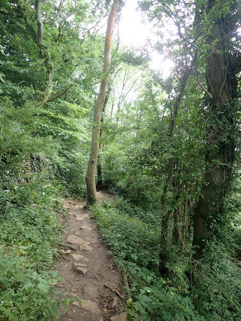 Photo could not load
ST7965 : The Pepper Pot Trail
Eirian Evans
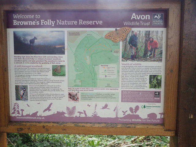 Photo could not load
ST7965 : Brown's Folly Information Board
Eirian Evans
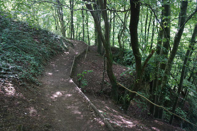 Photo could not load
ST7966 : Path on the side of Bathford Hill
Bill Boaden
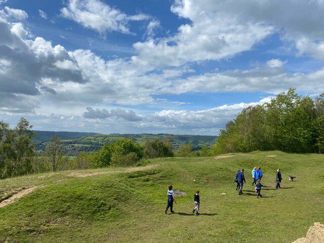 Photo could not load
ST7966 : Clearing on Bathford Hill
Eirian Evans
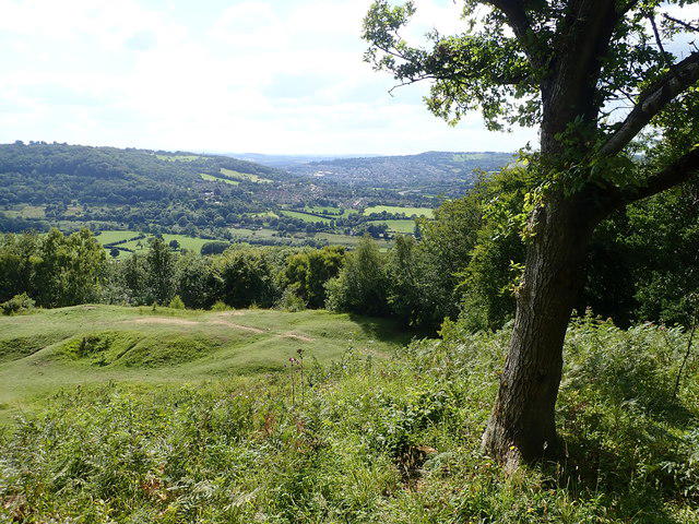 Photo could not load
ST7966 : View to Bath from Brown's Folly Nature Reserve
Eirian Evans
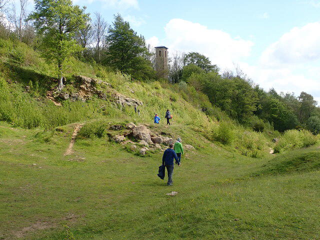 Photo could not load
ST7966 : Footpath, Bathford Hill
Eirian Evans
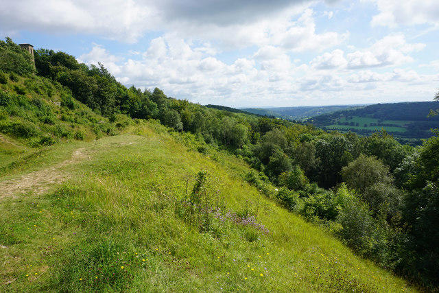 Photo could not load
ST7966 : Open patch on the side of Bathford Hill
Bill Boaden
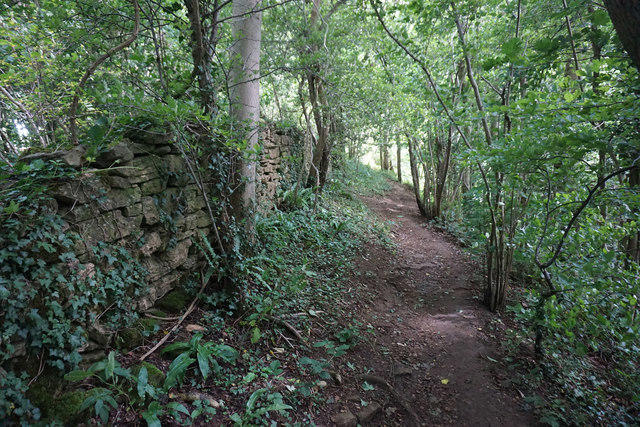 Photo could not load
ST7965 : Footpath on Bathford Hill
Bill Boaden
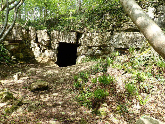 Photo could not load
ST7966 : Cave entrance, Brown's Folly Nature Reserve
Eirian Evans
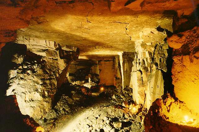
ST7966 : Farly Down Quarry
Derek Hawkins
Hill facts and local notes
Classifications
Elevation
205m
673 ft
Prominence
101m
Coordinates
51.3932, -2.2965
ST794660
OS Map
172
Explorer: 155
At the Summit
The summit features a small stone cairn and a panoramic view of the surrounding countryside. On a clear day, you can almost see all the way to the Welsh border.
Terrain & Geology
Bathford Hill is primarily composed of limestone, which contributes to its unique ecosystems and rich biodiversity. The limestone provides a perfect foundation for a variety of flora and fauna, making it a hotspot for wildlife enthusiasts.
Views & Scenery
From the summit, hikers can enjoy views of Bath and the surrounding Cotswolds, including the famous Bath Abbey and the rolling hills beyond.
History & Heritage
Name Origin
The name Bathford is derived from a combination of 'Bath' and 'ford', indicating its location near a crossing point over the River Avon, which highlights its historic significance.
Historical Significance
Bathford Hill has been a significant landmark for centuries, deeply connected to the local history of Bath and its Roman origins.
Getting There & Facilities
Check current local access restrictions, parking rules and transport timetables before travelling. These notes do not confirm public access to the summit.
Parking
Parking is available at the Bathford Village car park, just off the main road with a short walk to the trailhead.
Public Transport
Regular bus services run from Bath to Bathford, making it easy to access for those without a car.
Nearby Facilities
There are public toilets in Bathford Village, and several charming cafes nearby, perfect for a post-hike snack.
Safety Information
Known Hazards
- Watch out for slippery rocks after rain and ensure good footwear is worn. Tread carefully near steep edges.
General Safety Tips
- Check weather conditions before setting out
- Carry appropriate clothing and equipment
- Let someone know your planned route
- Take a map, compass, and GPS device
- Carry emergency supplies: food, water, first aid kit, torch
Hills
Some common questions about the hills answered
Are there group walks up Bathford Hill?
Many walkers use Walkmates to join or organise walks with others. You can check for group walks around Bathford Hill through the maps
Are there other walkers around Bathford Hill?
Activity varies by location and time, but Walkmates lets you see whether others have shared walks or shown interest in this area. Find other people through the walking friends search walking friends for Bathford Hill search or of course create your own walk for Bathford Hill
Can I organise a walk to Bathford Hill?
Yes. If there aren’t any walks listed already, you can create a walk and make it available for others to join.
If you're signed up to Walkmates, you can create a walk to Bathford Hill.
How do I find a walk up this hill?
There are often multiple ways to walk this hill, depending on experience and route preference. Walkmates helps you explore walks and routes that others have shared.
Can I suggest a new route up Bathford Hill?
Yes. You can suggest or create routes to share with others. Walkmates focuses on the social side of walking, so routes are used to help people organise walks and explore areas together, rather than as detailed navigation tools or route libraries.
Other uses really appreciate knowledgeable walkers sharing their routes. Share your favourite route to Bathford Hill here
The is an error or something incorrect about this hill. How do I let you know?
We always strive to keep the information on Walkmates as accurate as possible. If you find an error, please let us know through the contact form and we'll aim to correct it as quickly as possible
Community Discussion
Comments
Location
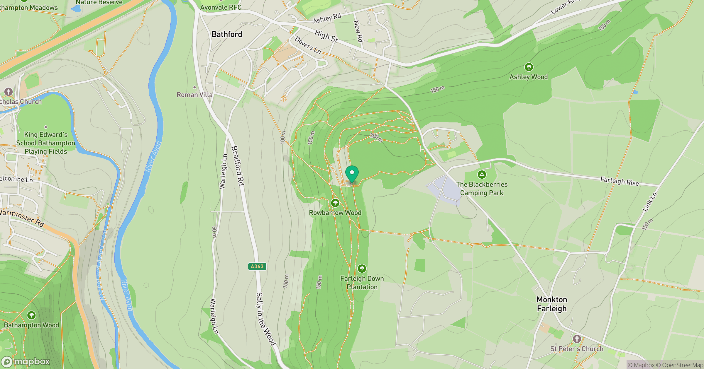
Grid reference: ST794660
View on OpenStreetMapOpens a map in a new tab, centred on the hill.
Hills within 30 km
Straight-line distance, not a walking route or confirmation of access.
No comments yet. Be the first.