

Burry Holms
Good walks are even better shared.
SS4092 : Burry Holms
Alan Hughes Photo source
Overview
Burry Holms: A Hidden Gem on the Welsh Coast
Nestled in South Wales, Burry Holms stands proud at 144 meters, a Marilyn peak that offers a unique blend of natural beauty and geological intrigue. It’s the perfect spot for both seasoned hikers and those just wanting a nice leg stretch.
Geology
Burry Holms is primarily made up of Carboniferous limestone—a particularly interesting rock formation that not only supports remarkable biodiversity but also showcases some marvellous natural sculptures thanks to erosion. If you're lucky, you might even spot some local wildlife, including herons and bearded tits!
Routes
The most popular route to tackle is the easy Burry Port Circular. This charming walk of about 5 km will show you scenic coastal views while letting you enjoy the breeze that makes it nearly impossible to be serious. You can easily complete the circuit in about 1.5 hours, leaving you ample time for a coffee after.
Summit Features
Upon reaching the summit, hikers are welcomed by a limestone plateau. The sense of accomplishment is often outweighed only by the breathtaking view over Carmarthen Bay. If you squint, you might even see Snowdonia waving at you!
Terrain
The terrain varies beautifully from rocky sections to grassy patches, ensuring there's enough variety to keep things interesting and the calves engaged.
Views
As for the views, prepare to be dazzled! Look out for notable landmarks such as the pristine Gower Peninsula and the expansive Carmarthen Bay. Spring and autumn have proven to be the best seasons to enjoy these views, with clearer skies adding to the panorama.
Hazards
A word of caution: after rain, the rocky areas can become slicker than a politician dodging questions! Be mindful of the tides if you venture too close to the coast—they can catch you off guard like a sneaky cat!
Access and Facilities
Access to this stony splendour is straightforward. You can park at Burry Port Harbour, and public transport is fairly reliable from surrounding towns. Once you've earned your rations, local cafes and pubs are eager to serve you refreshments.
History
The name 'Burry Holms' reflects its heritage, with 'holm' meaning small island. Historically, this area has seen industrial activity, particularly from historic quarrying, contributing to the local economy and offering fascinating insight into the region’s past.
In conclusion, whether you're in it for the views or the geological wonders, a jaunt to Burry Holms promises adventure and a touch of whimsy. So lace up those walking boots, and head out for a day of exploration!
Happy hiking!
Explore routes near Burry Holms
Walks starting near this hill. Open a route to check its map, distance and full itinerary.
Gower winter wildlife and birdwatching walk
View route
Llanelli North Dock to Machynys Point and Wetland Centre
View route
Llanelli North Dock to Burry Port Harbour Coastal Walk
View route
Llanelli warden-led wildlife walk
View route
Route planning notes
These notes describe possible approaches. Check a route's map and access information when planning your walk.
Burry Port Circular
This circular route provides stunning views and a pleasant stroll around the coastal area, leading to Burry Holms from Burry Port.
Make a day of it, together
Find someone to share the walk with, or organise a day out along a route you like.
Photo Gallery
View all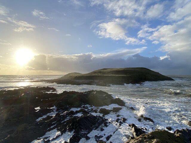 Photo could not load
SS4092 : Burry Holms
Alan Hughes
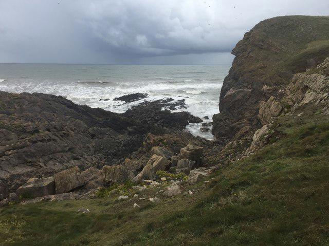 Photo could not load
SS3992 : Approaching storm
Alan Hughes
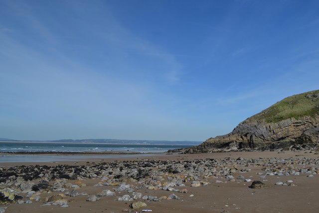 Photo could not load
SS3992 : Burry Holms
Helen
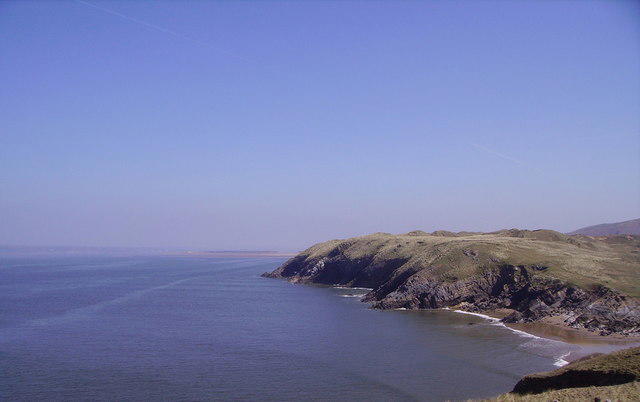 Photo could not load
SS4092 : Burry Holms, looking towards Culver Hole
richard alwyne jenkins
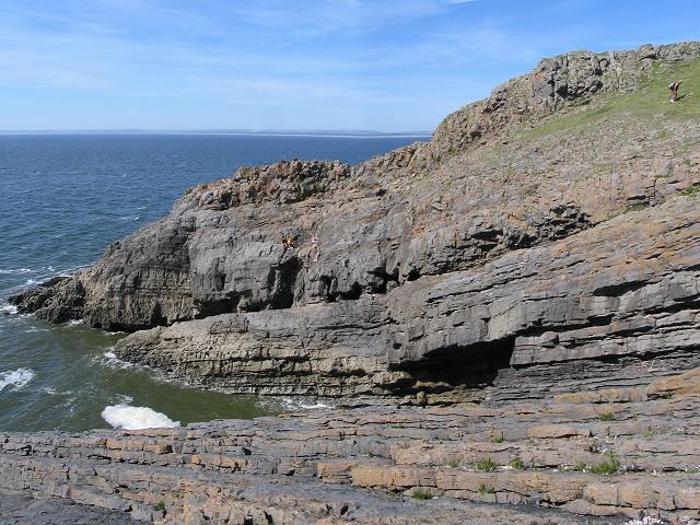 Photo could not load
SS3992 : Rocks on west end of Burry Holms
Nigel Davies
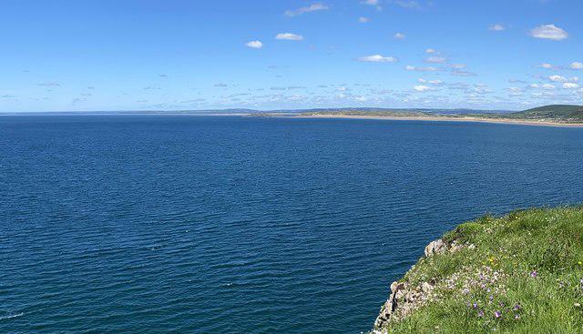 Photo could not load
SS3992 : Rhossili Bay
Alan Hughes
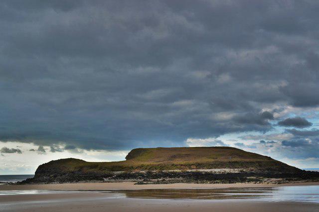 Photo could not load
SS3992 : Bury Holmes
Deborah Tilley
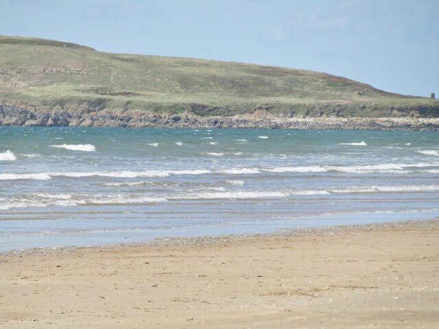 Photo could not load
SS3992 : Burry Holms
Colin Smith
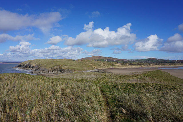 Photo could not load
SS3992 : Path back to the mainland
Bill Boaden
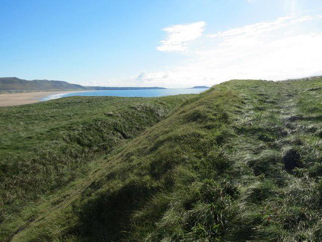
SS3992 : Caer bentir Burry Holms / Burry Holmes promontory fort
Alan Richards
Hill facts and local notes
Classifications
Elevation
30m
98 ft
Prominence
30m
Coordinates
51.6094, -4.3141
SS398926
OS Map
159
Explorer: 164
At the Summit
The summit features a limestone plateau with panoramic views and a satisfying sense of achievement as you look over the Gower Peninsula.
Terrain & Geology
Burry Holms is primarily composed of Carboniferous limestone, which adds a unique ruggedness to the landscape. The area features fascinating karst formations, making it a geological wonder for enthusiast geologists.
Views & Scenery
From the summit, one can see the stunning expanse of Carmarthen Bay, the beautiful Gower Peninsula, and on clear days, the distant silhouette of Snowdonia.
History & Heritage
Name Origin
The name 'Burry Holms' is derived from the Old Norse word 'Holm', meaning islet or small island, reflecting its coastal nature.
Historical Significance
Historically, the area was known for its quarrying activities during the industrial revolution, contributing to the local economy.
Getting There & Facilities
Parking
There is a parking area at Burry Port Harbour (SS411933) with reasonable access to the coast.
Public Transport
Regular bus services connect Burry Port with nearby towns, making it easy to reach without a car.
Nearby Facilities
Cafes and pubs are available in Burry Port, along with public toilets located near the harbour.
Safety Information
Known Hazards
- Be cautious of slippery rocks especially after rain. Always check the tide times if exploring the coast.
General Safety Tips
- Check weather conditions before setting out
- Carry appropriate clothing and equipment
- Let someone know your planned route
- Take a map, compass, and GPS device
- Carry emergency supplies: food, water, first aid kit, torch
Hills
Some common questions about the hills answered
Are there group walks up Burry Holms?
Many walkers use Walkmates to join or organise walks with others. You can check for group walks around Burry Holms through the maps
Are there other walkers around Burry Holms?
Activity varies by location and time, but Walkmates lets you see whether others have shared walks or shown interest in this area. Find other people through the walking friends search walking friends for Burry Holms search or of course create your own walk for Burry Holms
Can I organise a walk to Burry Holms?
Yes. If there aren’t any walks listed already, you can create a walk and make it available for others to join.
If you're signed up to Walkmates, you can create a walk to Burry Holms.
How do I find a walk up this hill?
There are often multiple ways to walk this hill, depending on experience and route preference. Walkmates helps you explore walks and routes that others have shared.
Can I suggest a new route up Burry Holms?
Yes. You can suggest or create routes to share with others. Walkmates focuses on the social side of walking, so routes are used to help people organise walks and explore areas together, rather than as detailed navigation tools or route libraries.
Other uses really appreciate knowledgeable walkers sharing their routes. Share your favourite route to Burry Holms here
The is an error or something incorrect about this hill. How do I let you know?
We always strive to keep the information on Walkmates as accurate as possible. If you find an error, please let us know through the contact form and we'll aim to correct it as quickly as possible
Community Discussion
Comments
Location
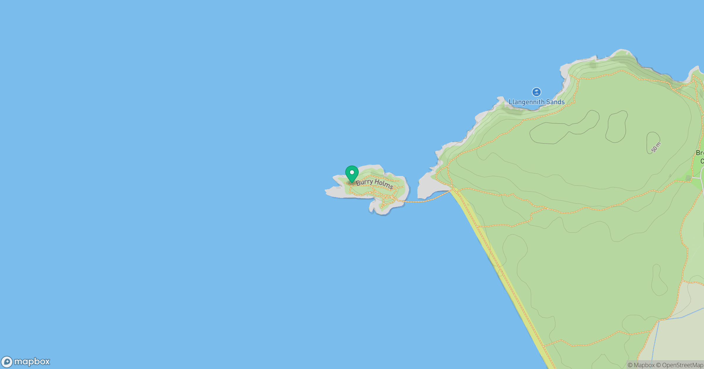
Grid reference: SS398926
View on OpenStreetMapOpens a map in a new tab, centred on the hill.
Nearby Hills
Rhossili Down - The Beacon
193m

Fan Brycheiniog - Twr y Fan Foel
802m
Pen y Fan
142m
Fan Gyhirych
726m

Dunkery Beacon
520m
No comments yet. Be the first.