

Llanmadoc Hill
Good walks are even better shared.
SS4292 : The western end of Llanmadoc Hill
Bill Boaden Photo source
Overview
Llanmadoc Hill
Overview
Llanmadoc Hill, standing proudly at 226 meters, is a Marilyn located in the stunning Gower Peninsula of Wales. As one of the region's many natural treasures, it offers an accessible yet rewarding hiking experience.
Geology
The hill is primarily made up of Old Red Sandstone, characteristic of the area. This geological composition provides insight into a fascinating chapter of our planet's history, showcasing layers of sediment laid down millions of years ago.
Routes
A popular route begins in the charming village of Llanmadoc. At approximately 3 km, this moderate hike is suitable for most abilities, taking roughly 1.5 hours to complete. Along the way, hikers can enjoy the diverse flora and fauna that calls this area home.
Summit Features
Upon reaching the summit, you'll encounter a sturdy trig point, a perfect photo opportunity to show off your achievement. Whether it's a moment of pride or simply a way to check if the café has opened, the trig point is a must-see.
Terrain
Expect to navigate through grassy slopes and some rocky paths, with a few gentle scrambles to keep things interesting. Good hiking boots are a preferable choice, ensuring you can conquer the varied terrain with ease!
Views
From the top, stunning views stretch across the Gower Peninsula, including the breathtaking Rhossili Bay and Worm's Head. The best time for these picturesque panoramas is during spring and early summer when wildflowers bloom and visibility is at its peak.
Hazards
While the hill is generally safe for hikers, it’s essential to prepare for rapidly changing weather. Muddy paths are common after rain, so sturdy footwear is strongly recommended. Don’t be fooled – the sunny start can turn into a drizzle and back again, so check the forecast ahead of time.
Access
The nearest parking facility is located in the welcoming Llanmadoc village, providing easy access to the trails. For those relying on public transport, local buses are available from Swansea, which is roughly 15 miles away.
Facilities
After conquering the hill, treat yourself to a visit to the local pub or café in Llanmadoc for a well-deserved refreshment. Toilets are conveniently located at the café.
History
The name 'Llanmadoc' translates to 'Church of Madoc' in Welsh, revealing a glimpse into the area's deep historical roots. The hill has served as a significant landmark for locals, rich with tales of history and heritage.
Llanmadoc Hill is not just a hike; it’s a little piece of the Gower's soul. So lace up those boots and get ready for an adventure that’s sure to leave you grinning like a Cheshire cat!
Remember to capture those views and enjoy the wonders of this beautiful Welsh landmark. Happy hiking!
Explore routes near Llanmadoc Hill
Walks starting near this hill. Open a route to check its map, distance and full itinerary.
Gower winter wildlife and birdwatching walk
View route
Llanelli North Dock to Machynys Point and Wetland Centre
View route
Llanelli North Dock to Burry Port Harbour Coastal Walk
View route
Llanelli warden-led wildlife walk
View route
Route planning notes
These notes describe possible approaches. Check a route's map and access information when planning your walk.
Llanmadoc Village to Summit
A delightful hike starting from the quaint village of Llanmadoc leading directly to the summit, offering varying views and a chance to explore the local flora and fauna.
Make a day of it, together
Find someone to share the walk with, or organise a day out along a route you like.
Photo Gallery
View all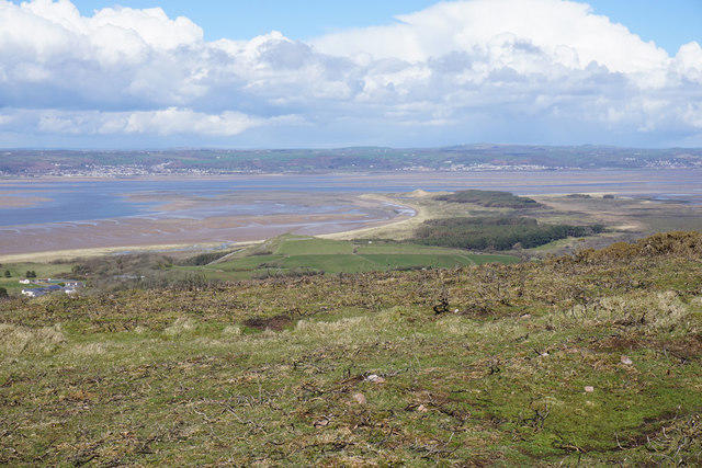 Photo could not load
SS4292 : The western end of Llanmadoc Hill
Bill Boaden
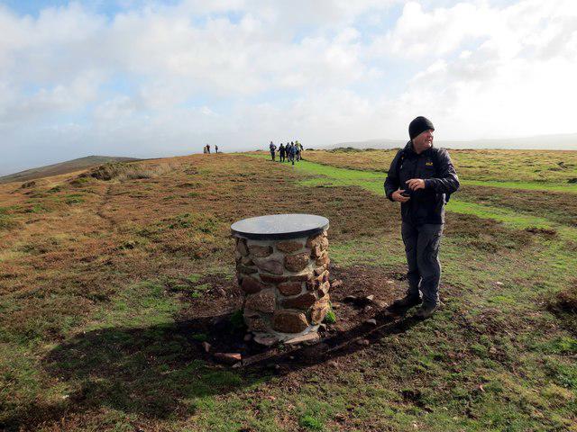 Photo could not load
SS4292 : Toposcope Bryn Llanmadog / Llanmadoc Hill Toposgob
Alan Richards
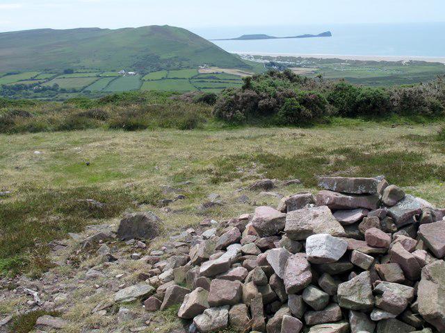 Photo could not load
SS4292 : Llanmadoc Hill Cairn
Rude Health
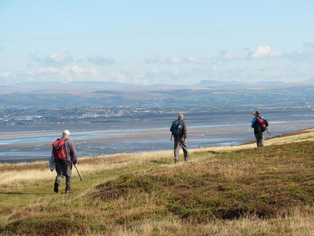 Photo could not load
SS4392 : Bryn Llanmadoc Hill
Alan Richards
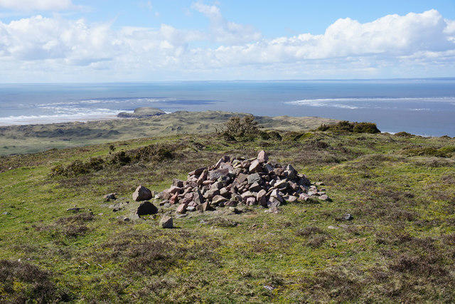 Photo could not load
SS4292 : Cairn on Llanmadoc Hill
Bill Boaden
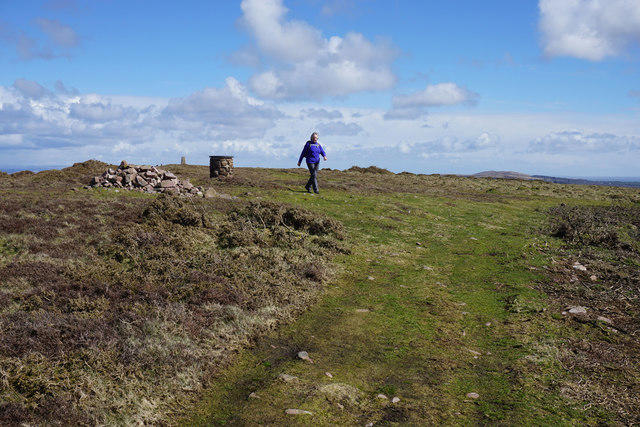 Photo could not load
SS4292 : The top of Llanmadoc Hill
Bill Boaden
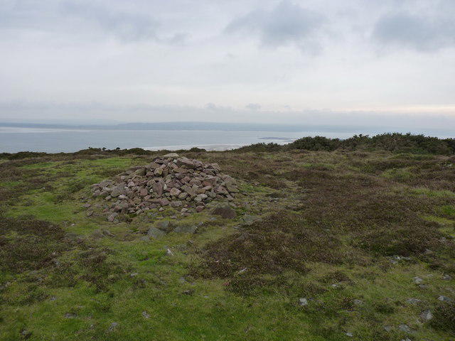 Photo could not load
SS4292 : Cairn I on the western end of Llanmadoc Hill
Richard Law
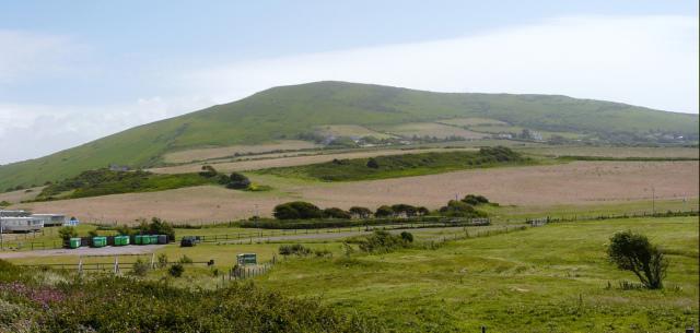 Photo could not load
SS4292 : Llanmadoc
Graham Taylor
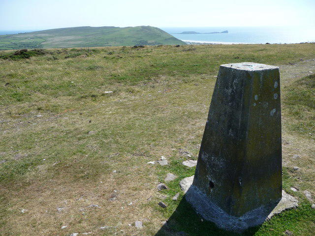 Photo could not load
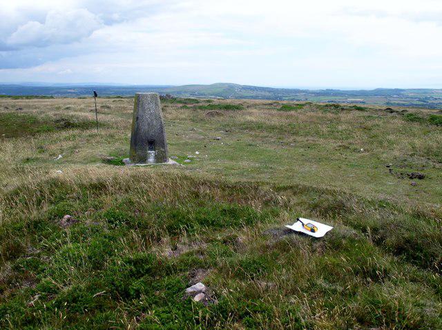
SS4392 : The trig point on Llanmadoc Hill, Gower
Jeremy Bolwell
SS4392 : Llanmadoc Hill
Rude Health
Hill facts and local notes
Classifications
Elevation
186m
609 ft
Prominence
104m
Coordinates
51.6087, -4.2682
SS430924
OS Map
159
Explorer: 164
At the Summit
At the summit, you'll find a strapping trig point, which many adventurers use to measure just how far they've come – or to try and see if the coffee shop in the village is still open.
Terrain & Geology
Llanmadoc Hill is primarily composed of Old Red Sandstone, a strikingly picturesque rock formation that provides insight into the Earth's ancient geology. The hill's steep slopes are interspersed with patches of clay and sandy soil, offering a glimpse into the diverse geological history of the region.
Views & Scenery
From the summit, you can enjoy panoramic views of the Gower Peninsula, including the beautiful Rhossili Bay and Worm's Head, as well as the rolling fields stretching inland.
History & Heritage
Name Origin
The name 'Llanmadoc' is derived from the Welsh language, meaning 'Church of Madoc', reflecting its rich heritage and historical significance.
Historical Significance
Llanmadoc Hill has been a local landmark for generations, often featuring in tales of the region's history and folklore.
Getting There & Facilities
Parking
There's a small car park in Llanmadoc village (SS434922), making it a convenient starting point for your hike.
Public Transport
Local buses operate to Llanmadoc from Swansea, making it accessible for those who prefer not to drive.
Nearby Facilities
Llanmadoc village offers a pub and a café, perfect for a well-deserved cuppa post-hike. Toilets are available at the café, so plan accordingly!
Safety Information
Known Hazards
- Be cautious of sudden changes in weather, as conditions can shift from sunny to rainy quicker than you can say 'Gower'. The paths can also be muddy after rainfall, so good footwear is a must!
General Safety Tips
- Check weather conditions before setting out
- Carry appropriate clothing and equipment
- Let someone know your planned route
- Take a map, compass, and GPS device
- Carry emergency supplies: food, water, first aid kit, torch
Hills
Some common questions about the hills answered
Are there group walks up Llanmadoc Hill?
Many walkers use Walkmates to join or organise walks with others. You can check for group walks around Llanmadoc Hill through the maps
Are there other walkers around Llanmadoc Hill?
Activity varies by location and time, but Walkmates lets you see whether others have shared walks or shown interest in this area. Find other people through the walking friends search walking friends for Llanmadoc Hill search or of course create your own walk for Llanmadoc Hill
Can I organise a walk to Llanmadoc Hill?
Yes. If there aren’t any walks listed already, you can create a walk and make it available for others to join.
If you're signed up to Walkmates, you can create a walk to Llanmadoc Hill.
How do I find a walk up this hill?
There are often multiple ways to walk this hill, depending on experience and route preference. Walkmates helps you explore walks and routes that others have shared.
Can I suggest a new route up Llanmadoc Hill?
Yes. You can suggest or create routes to share with others. Walkmates focuses on the social side of walking, so routes are used to help people organise walks and explore areas together, rather than as detailed navigation tools or route libraries.
Other uses really appreciate knowledgeable walkers sharing their routes. Share your favourite route to Llanmadoc Hill here
The is an error or something incorrect about this hill. How do I let you know?
We always strive to keep the information on Walkmates as accurate as possible. If you find an error, please let us know through the contact form and we'll aim to correct it as quickly as possible
Community Discussion
Comments
Location
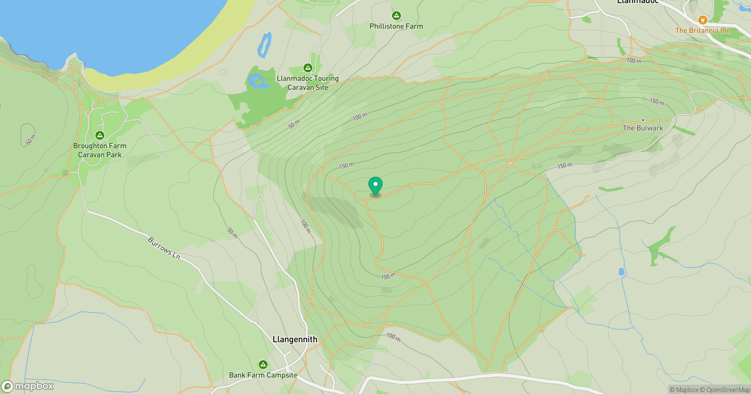
Grid reference: SS430924
View on OpenStreetMapOpens a map in a new tab, centred on the hill.
Nearby Hills
Rhossili Down - The Beacon
193m

Fan Brycheiniog - Twr y Fan Foel
802m
Fan Gyhirych
726m
Pen y Fan
142m

Dunkery Beacon
520m
No comments yet. Be the first.