
Allt Cunedda
Good walks are even better shared.
Overview
Allt Cunedda: An Outdoor Gem in Snowdonia
Nestled in the heart of Snowdonia National Park, Allt Cunedda stands tall with an elevation of 586 meters, inviting hikers to explore its lush pathways and rocky outcrops. Known as a Nuttall, it may not be the tallest mountain in the area, but it certainly holds its own in terms of stunning scenery and rich history.
Geology
The mountain primarily comprises slate and shale, giving rise to a fascinating landscape of layers and rugged cliffs. Evidence of glacial activity further adds to its geological intrigue, creating an environment that tells the story of Earth’s natural history over millennia.
Routes
One of the popular ways to reach the summit is via the Cwm Cunedda Route, a moderate trek that spans approximately 3.5 km round trip. Starting on the southern slopes, the well-marked path leads hikers through beautiful scenery, ensuring that the effort pays off with stunning views from the top. Expect to spend roughly two hours, allowing plenty of time for photo opportunities.
Summit Features
Reaching the summit unveils a charming stone cairn, which proudly marks this spot as a cherished destination for keen walkers. From here, you can enjoy expansive views that encompass the stunning Glyderau mountains and Llyn Cunedda, a perfect backdrop for your next social media post!
Terrain Type
The terrain is a blend of grassy sections interspersed with rocky outcrops, providing a mixture of easy walking and a bit of a scramble. Remember, it’s all part of the adventure!
Views
If you are a fan of breathtaking vistas, Allt Cunedda won't disappoint. The summit rewards climbers with panoramic views of the surrounding landscape, particularly stunning in spring and autumn when nature puts on a show of vibrant colours.
Hazards
Like any mountain expedition, be mindful of weather changes, which can be as unpredictable as your local weatherman. The rocky terrain can become slippery when wet, so tread carefully and be sure to enjoy the journey!
Access
Parking is available in a limited layby off the A5, close to the village of Betws-y-Coed, and public transport options are ample. Regular buses connect this charming community to major towns, making your trip all the easier.
Facilities
After your hike, Betws-y-Coed offers a variety of cafes and public facilities to clean up and refuel. Grab a bite or perhaps a well-earned slice of cake to reward yourself for the day's endeavours.
History
The name Allt Cunedda has historical significance linked back to early Welsh history, as Cunedda was a notable historical figure. The area’s rich past provides an extra layer of intrigue for history buffs.
In summary, Allt Cunedda may not be the highest peak around, but its charm, geological wonders, and scenic views make it a worthy addition to any hiker's list. So pack your gear, lace up those hiking boots, and get ready for an adventure!
Explore routes near Allt Cunedda
Public walks starting within 80 km of this hill. Nearby does not mean a route reaches the summit; check its map and access before setting out.
Abergwili to Nantgaredig: Tywi Valley Path out and back
View route
Llanelli North Dock to Machynys Point and Wetland Centre
View route
Llanelli North Dock to Burry Port Harbour Coastal Walk
View route
Gower winter wildlife and birdwatching walk
View route
Route planning notes
These notes describe possible approaches, not verified navigable routes or permission to cross land. Check current paths, local access rules and conditions before setting out.
Cwm Cunedda Route
A straightforward ascent starting from the southern slopes, offering a well-trodden path with stunning views as a reward for your efforts.
Make a day of it, together
Find someone to share the walk with, or organise a day out along a route you like.
Photo Gallery
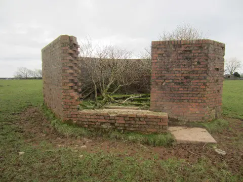
View all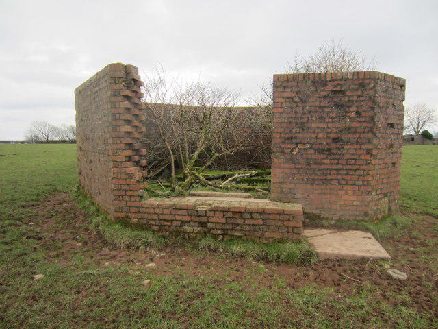 Photo could not load
SN4008 : Nimpwll Pillbox
Adrian Dust
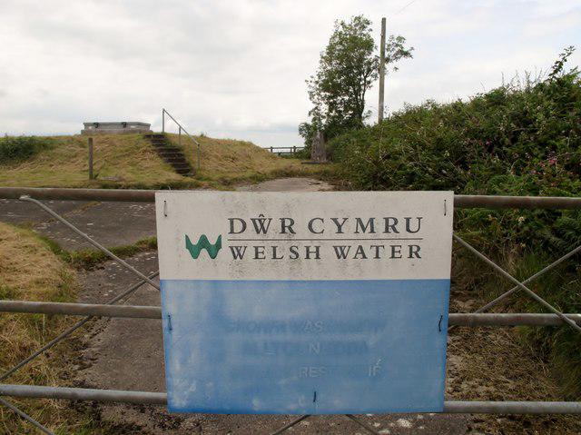 Photo could not load
SN4008 : Allt Cunedda
Rude Health
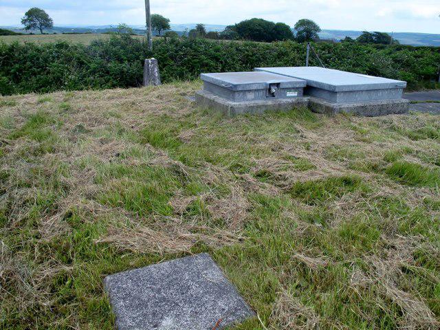 Photo could not load
SN4008 : Allt Cunedda
Rude Health
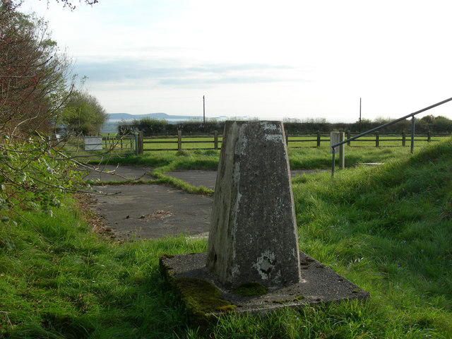 Photo could not load
SN4008 : Triangulation Pillar (S2368)
Adrian Dust
Hill facts and local notes
Classifications
Elevation
193m
632 ft
Prominence
130m
Coordinates
51.7571, -4.3088
SN407090
OS Map
159
Explorer: 177 178
At the Summit
The summit features a charming stone cairn, proudly marking the highest point, with an expansive view that begs for the perfect Instagram shot.
Terrain & Geology
Allt Cunedda is primarily composed of slate and shale, which creates an intriguing landscape of layered rock formations and rugged cliffs. The evidence of glacial erosion is evident, showcasing a moulding hand of nature.
Views & Scenery
From the summit, one can catch a glimpse of the breathtaking vistas of the surrounding Glyderau mountains, as well as the enchanting Llyn Cunedda below.
History & Heritage
Name Origin
The name Allt Cunedda translates roughly to 'the slope of Cunedda', who is a figure from early Welsh history, hinting at the area's rich past.
Historical Significance
The area is steeped in legend, with connections to the ancient kingdom of Gwynedd, making it a culturally significant site for those interested in Welsh heritage.
Getting There & Facilities
Check current local access restrictions, parking rules and transport timetables before travelling. These notes do not confirm public access to the summit.
Parking
There is a small layby off the A5 near the village of Betws-y-Coed, which can accommodate a limited number of cars.
Public Transport
Buses run from major towns, including Llanrwst, to Betws-y-Coed. Check local timetables for up-to-date information.
Nearby Facilities
Betws-y-Coed boasts several cafes and restaurants to refuel after a day of exploration, as well as public toilets near the railway station.
Safety Information
Known Hazards
- As with all mountain walks, keep an eye out for sudden weather changes and the possibility of slippery paths after rain. The rocky sections can be treacherous, so watch your step!
General Safety Tips
- Check weather conditions before setting out
- Carry appropriate clothing and equipment
- Let someone know your planned route
- Take a map, compass, and GPS device
- Carry emergency supplies: food, water, first aid kit, torch
Hills
Some common questions about the hills answered
Are there group walks up Allt Cunedda?
Many walkers use Walkmates to join or organise walks with others. You can check for group walks around Allt Cunedda through the maps
Are there other walkers around Allt Cunedda?
Activity varies by location and time, but Walkmates lets you see whether others have shared walks or shown interest in this area. Find other people through the walking friends search walking friends for Allt Cunedda search or of course create your own walk for Allt Cunedda
Can I organise a walk to Allt Cunedda?
Yes. If there aren’t any walks listed already, you can create a walk and make it available for others to join.
If you're signed up to Walkmates, you can create a walk to Allt Cunedda.
How do I find a walk up this hill?
There are often multiple ways to walk this hill, depending on experience and route preference. Walkmates helps you explore walks and routes that others have shared.
Can I suggest a new route up Allt Cunedda?
Yes. You can suggest or create routes to share with others. Walkmates focuses on the social side of walking, so routes are used to help people organise walks and explore areas together, rather than as detailed navigation tools or route libraries.
Other uses really appreciate knowledgeable walkers sharing their routes. Share your favourite route to Allt Cunedda here
The is an error or something incorrect about this hill. How do I let you know?
We always strive to keep the information on Walkmates as accurate as possible. If you find an error, please let us know through the contact form and we'll aim to correct it as quickly as possible
Community Discussion
Comments
Location
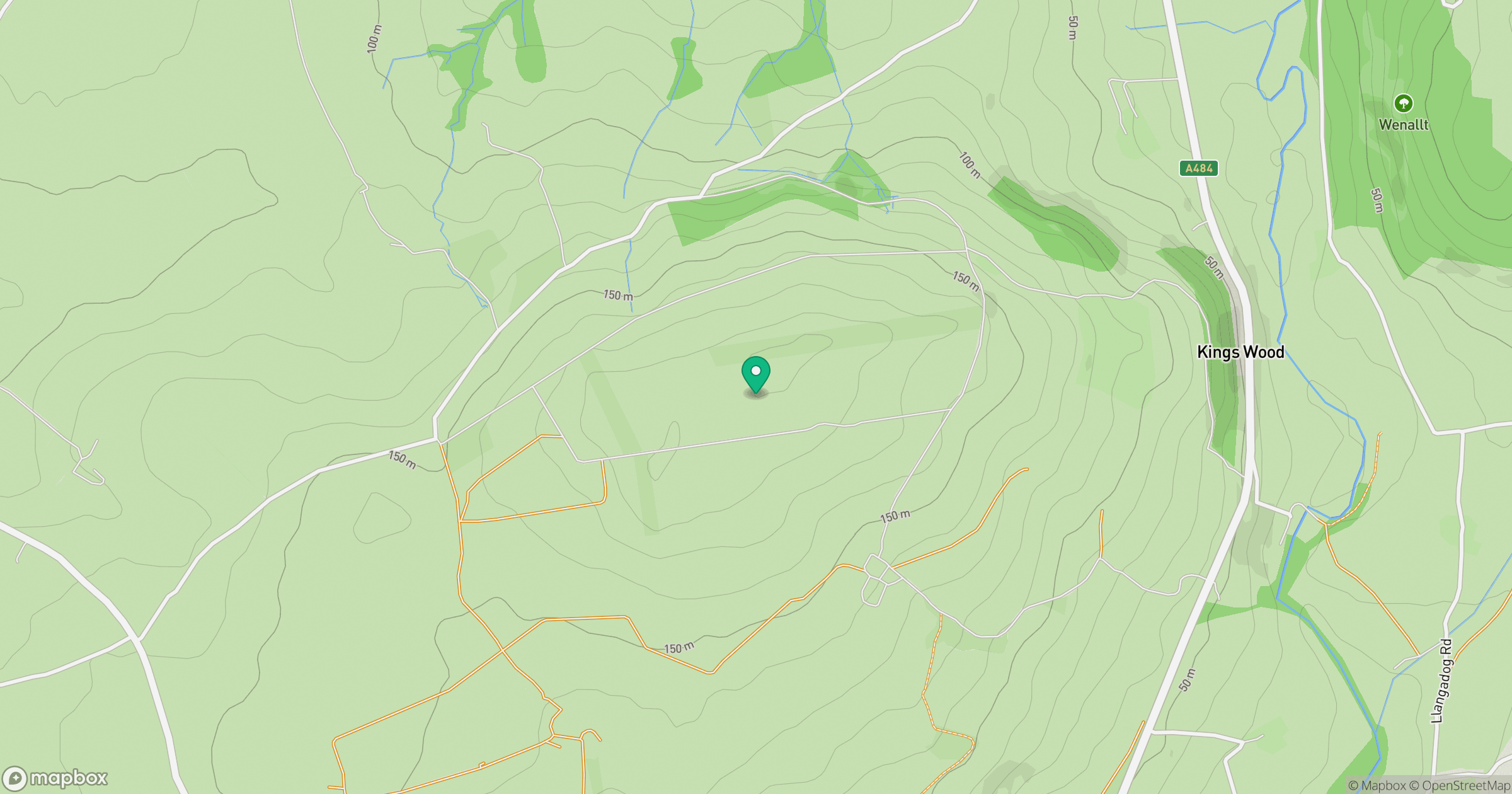
Grid reference: SN407090
View on OpenStreetMapOpens a map in a new tab, centred on the hill.
Hills within 30 km
Straight-line distance, not a walking route or confirmation of access.
Rhossili Down - The Beacon
193m
Mynydd Llangyndeyrn
263m
Pen y Moelfre
166m
Llanmadoc Hill
186m
Mynydd Sylen
284m
No comments yet. Be the first.